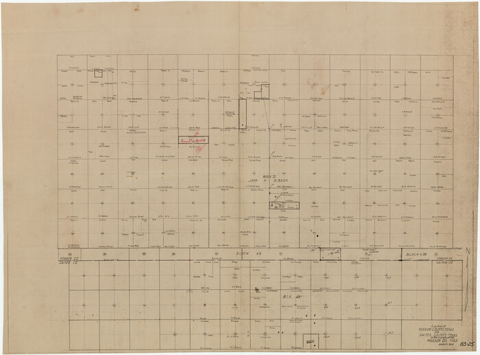
A Portion of Yoakum County, Texas and Gaines County, Texas in the vicinity of the Wasson Oil Field

Print $20.00
- Digital $50.00
A Portion of Yoakum County, Texas and Gaines County, Texas in the vicinity of the Wasson Oil Field
Size: 43.4 x 32.0 inches
90808
Cochran County Rolled Sketch 1


Print $40.00
- Digital $50.00
Cochran County Rolled Sketch 1
1938
Size: 61.8 x 18.0 inches
8606
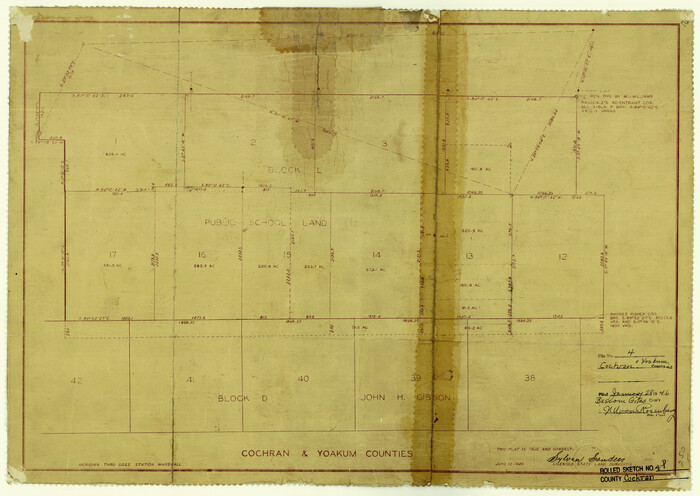
Cochran County Rolled Sketch 4

Print $20.00
- Digital $50.00
Cochran County Rolled Sketch 4
1945
Size: 16.8 x 23.7 inches
5501
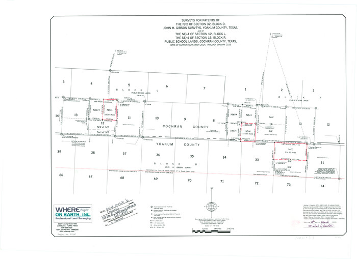
Cochran County Rolled Sketch 6

Print $20.00
- Digital $50.00
Cochran County Rolled Sketch 6
2025
Size: 20.5 x 28.2 inches
97417
Cochran County Sketch File 1


Print $20.00
- Digital $50.00
Cochran County Sketch File 1
Size: 44.6 x 32.5 inches
10337
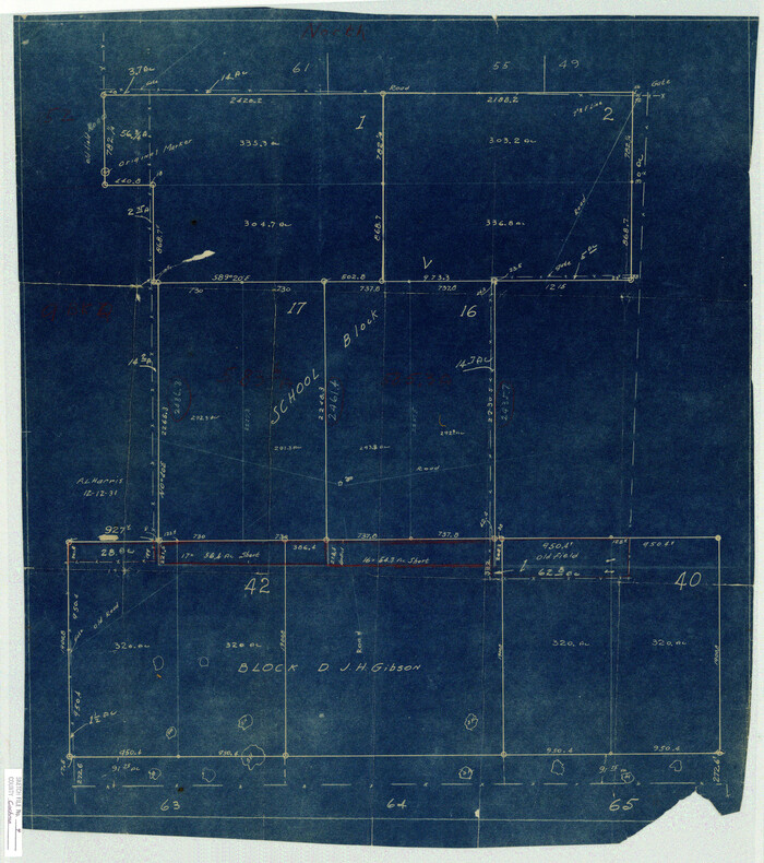
Cochran County Sketch File 4

Print $20.00
- Digital $50.00
Cochran County Sketch File 4
1931
Size: 24.9 x 22.1 inches
11100
Cochran County Sketch File 5
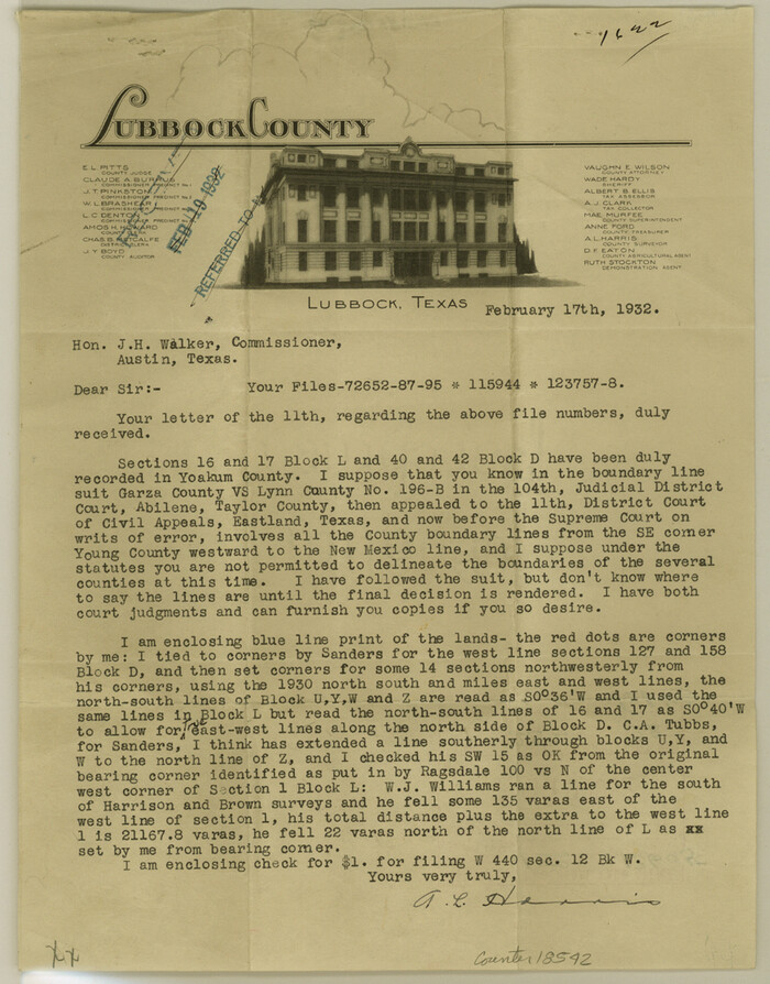

Print $24.00
- Digital $50.00
Cochran County Sketch File 5
1932
Size: 11.1 x 8.7 inches
18542
Cochran County Sketch File 6
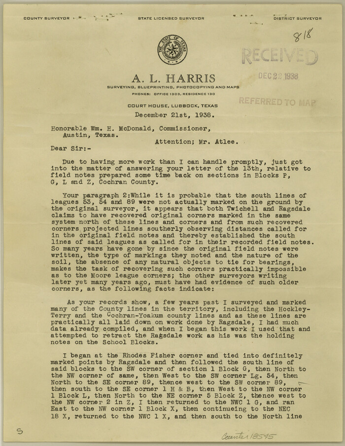

Print $10.00
- Digital $50.00
Cochran County Sketch File 6
1938
Size: 11.2 x 8.6 inches
18545
Cochran County Working Sketch 5
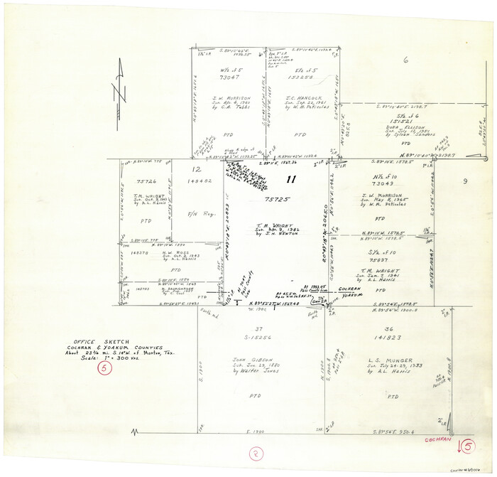

Print $20.00
- Digital $50.00
Cochran County Working Sketch 5
Size: 23.8 x 24.9 inches
68016
Cochran and Yoakum Counties, Texas


Print $20.00
- Digital $50.00
Cochran and Yoakum Counties, Texas
1945
Size: 24.4 x 17.4 inches
92513
Estate of John B. Googins' Land
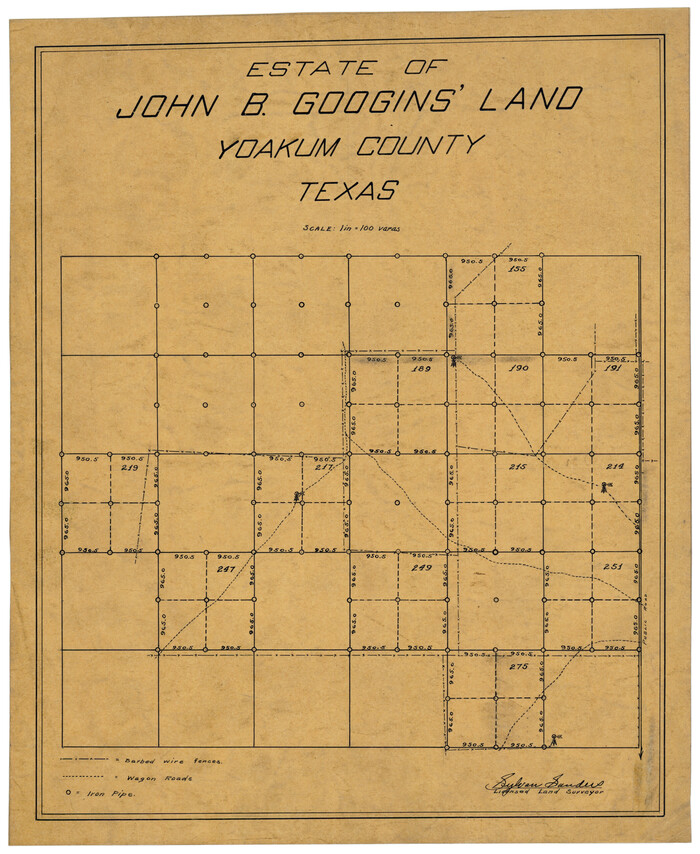

Print $20.00
- Digital $50.00
Estate of John B. Googins' Land
Size: 14.0 x 16.9 inches
92849
Gaines County Rolled Sketch J
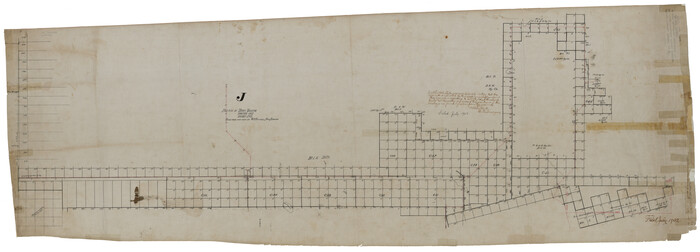

Print $40.00
- Digital $50.00
Gaines County Rolled Sketch J
Size: 26.6 x 73.8 inches
9013
Gaines County Sketch File 10
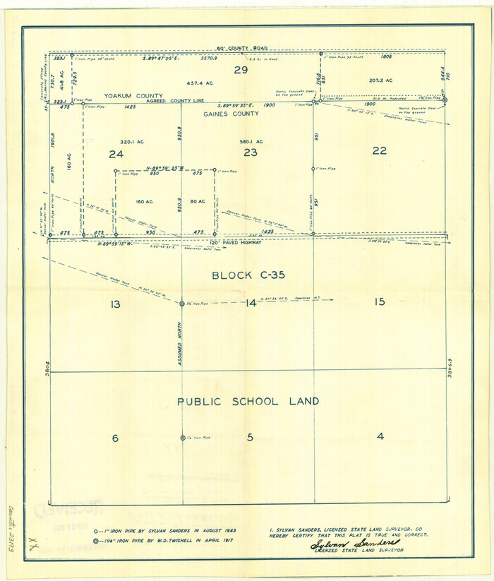

Print $40.00
- Digital $50.00
Gaines County Sketch File 10
Size: 16.4 x 14.0 inches
23193
Gaines County Sketch File 11
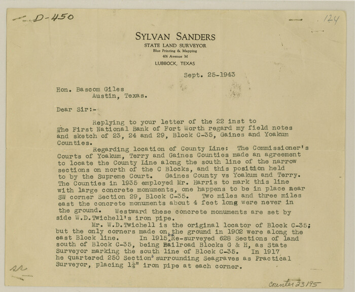

Print $6.00
- Digital $50.00
Gaines County Sketch File 11
1943
Size: 7.3 x 8.9 inches
23195
Gaines County Working Sketch 29
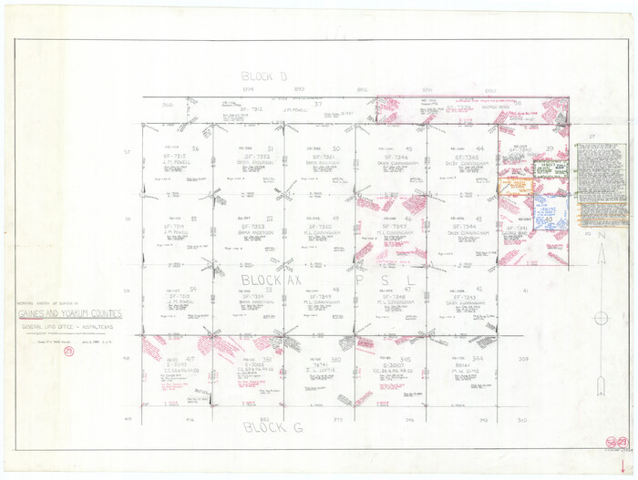

Print $20.00
- Digital $50.00
Gaines County Working Sketch 29
1984
Size: 32.3 x 42.9 inches
69329
Gaines County Working Sketch 30


Print $20.00
- Digital $50.00
Gaines County Working Sketch 30
1990
Size: 18.3 x 26.4 inches
69330
Gaines County Working Sketch 9


Print $40.00
- Digital $50.00
Gaines County Working Sketch 9
1951
Size: 75.2 x 20.8 inches
69309
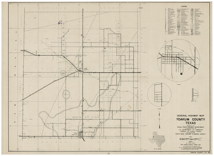
General Highway Map, Yoakum County Texas

Print $20.00
- Digital $50.00
General Highway Map, Yoakum County Texas
1952
Size: 26.3 x 19.1 inches
92815
General Highway Map, Yoakum County, Texas


Print $20.00
General Highway Map, Yoakum County, Texas
1940
Size: 18.3 x 24.9 inches
79285
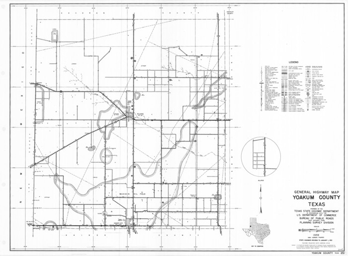
General Highway Map, Yoakum County, Texas

Print $20.00
General Highway Map, Yoakum County, Texas
1961
Size: 18.2 x 24.7 inches
79719
Hockley County Sketch File 19


Print $20.00
- Digital $50.00
Hockley County Sketch File 19
1944
Size: 14.9 x 25.8 inches
11775
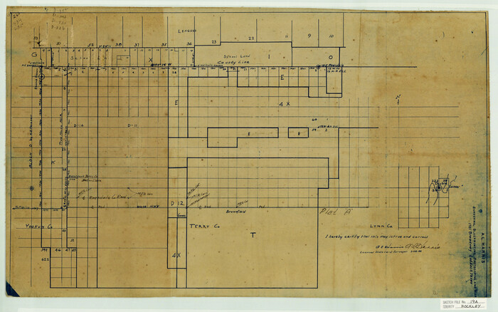
Hockley County Sketch File 19a

Print $20.00
- Digital $50.00
Hockley County Sketch File 19a
1944
Size: 15.7 x 25.1 inches
11776
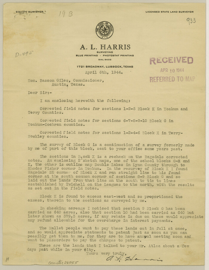
Hockley County Sketch File 19b

Print $28.00
- Digital $50.00
Hockley County Sketch File 19b
Size: 11.3 x 8.8 inches
26555
Hockley County Sketch File 8


Print $20.00
- Digital $50.00
Hockley County Sketch File 8
Size: 35.0 x 26.2 inches
11771
Lynn County Sketch File 1


Print $8.00
- Digital $50.00
Lynn County Sketch File 1
1892
Size: 14.0 x 8.8 inches
30443
Map Showing Lands Surveyed by Sylvan Sanders in Block D, Yoakum County, Texas


Print $20.00
- Digital $50.00
Map Showing Lands Surveyed by Sylvan Sanders in Block D, Yoakum County, Texas
Size: 28.6 x 24.4 inches
92008
Map Showing Lands Surveyed by Sylvan Sanders, Block D


Print $20.00
- Digital $50.00
Map Showing Lands Surveyed by Sylvan Sanders, Block D
Size: 28.2 x 23.5 inches
92440
Map Showing Lands Surveyed by Sylvan Sanders, Block D
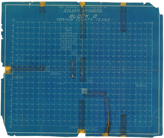

Print $20.00
- Digital $50.00
Map Showing Lands Surveyed by Sylvan Sanders, Block D
Size: 28.9 x 24.2 inches
92441
Map of Spearman Lands
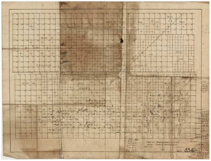

Print $20.00
- Digital $50.00
Map of Spearman Lands
Size: 20.1 x 15.3 inches
90791
Map of Spearman Lands
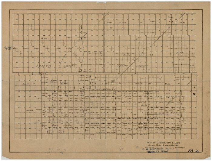

Print $20.00
- Digital $50.00
Map of Spearman Lands
Size: 20.0 x 15.4 inches
90793
A Portion of Yoakum County, Texas and Gaines County, Texas in the vicinity of the Wasson Oil Field


Print $20.00
- Digital $50.00
A Portion of Yoakum County, Texas and Gaines County, Texas in the vicinity of the Wasson Oil Field
-
Size
43.4 x 32.0 inches
-
Map/Doc
90808
Cochran County Rolled Sketch 1


Print $40.00
- Digital $50.00
Cochran County Rolled Sketch 1
1938
-
Size
61.8 x 18.0 inches
-
Map/Doc
8606
-
Creation Date
1938
Cochran County Rolled Sketch 4


Print $20.00
- Digital $50.00
Cochran County Rolled Sketch 4
1945
-
Size
16.8 x 23.7 inches
-
Map/Doc
5501
-
Creation Date
1945
Cochran County Rolled Sketch 6


Print $20.00
- Digital $50.00
Cochran County Rolled Sketch 6
2025
-
Size
20.5 x 28.2 inches
-
Map/Doc
97417
-
Creation Date
2025
Cochran County Sketch File 1


Print $20.00
- Digital $50.00
Cochran County Sketch File 1
-
Size
44.6 x 32.5 inches
-
Map/Doc
10337
Cochran County Sketch File 4


Print $20.00
- Digital $50.00
Cochran County Sketch File 4
1931
-
Size
24.9 x 22.1 inches
-
Map/Doc
11100
-
Creation Date
1931
Cochran County Sketch File 5


Print $24.00
- Digital $50.00
Cochran County Sketch File 5
1932
-
Size
11.1 x 8.7 inches
-
Map/Doc
18542
-
Creation Date
1932
Cochran County Sketch File 6


Print $10.00
- Digital $50.00
Cochran County Sketch File 6
1938
-
Size
11.2 x 8.6 inches
-
Map/Doc
18545
-
Creation Date
1938
Cochran County Working Sketch 5


Print $20.00
- Digital $50.00
Cochran County Working Sketch 5
-
Size
23.8 x 24.9 inches
-
Map/Doc
68016
Cochran and Yoakum Counties, Texas


Print $20.00
- Digital $50.00
Cochran and Yoakum Counties, Texas
1945
-
Size
24.4 x 17.4 inches
-
Map/Doc
92513
-
Creation Date
1945
Estate of John B. Googins' Land


Print $20.00
- Digital $50.00
Estate of John B. Googins' Land
-
Size
14.0 x 16.9 inches
-
Map/Doc
92849
Gaines County Rolled Sketch J


Print $40.00
- Digital $50.00
Gaines County Rolled Sketch J
-
Size
26.6 x 73.8 inches
-
Map/Doc
9013
Gaines County Sketch File 10


Print $40.00
- Digital $50.00
Gaines County Sketch File 10
-
Size
16.4 x 14.0 inches
-
Map/Doc
23193
Gaines County Sketch File 11


Print $6.00
- Digital $50.00
Gaines County Sketch File 11
1943
-
Size
7.3 x 8.9 inches
-
Map/Doc
23195
-
Creation Date
1943
Gaines County Working Sketch 29


Print $20.00
- Digital $50.00
Gaines County Working Sketch 29
1984
-
Size
32.3 x 42.9 inches
-
Map/Doc
69329
-
Creation Date
1984
Gaines County Working Sketch 30


Print $20.00
- Digital $50.00
Gaines County Working Sketch 30
1990
-
Size
18.3 x 26.4 inches
-
Map/Doc
69330
-
Creation Date
1990
Gaines County Working Sketch 9


Print $40.00
- Digital $50.00
Gaines County Working Sketch 9
1951
-
Size
75.2 x 20.8 inches
-
Map/Doc
69309
-
Creation Date
1951
General Highway Map, Yoakum County Texas


Print $20.00
- Digital $50.00
General Highway Map, Yoakum County Texas
1952
-
Size
26.3 x 19.1 inches
-
Map/Doc
92815
-
Creation Date
1952
General Highway Map, Yoakum County, Texas


Print $20.00
General Highway Map, Yoakum County, Texas
1940
-
Size
18.3 x 24.9 inches
-
Map/Doc
79285
-
Creation Date
1940
General Highway Map, Yoakum County, Texas


Print $20.00
General Highway Map, Yoakum County, Texas
1961
-
Size
18.2 x 24.7 inches
-
Map/Doc
79719
-
Creation Date
1961
Hockley County Sketch File 19


Print $20.00
- Digital $50.00
Hockley County Sketch File 19
1944
-
Size
14.9 x 25.8 inches
-
Map/Doc
11775
-
Creation Date
1944
Hockley County Sketch File 19a


Print $20.00
- Digital $50.00
Hockley County Sketch File 19a
1944
-
Size
15.7 x 25.1 inches
-
Map/Doc
11776
-
Creation Date
1944
Hockley County Sketch File 19b


Print $28.00
- Digital $50.00
Hockley County Sketch File 19b
-
Size
11.3 x 8.8 inches
-
Map/Doc
26555
Hockley County Sketch File 8


Print $20.00
- Digital $50.00
Hockley County Sketch File 8
-
Size
35.0 x 26.2 inches
-
Map/Doc
11771
Lynn County Sketch File 1


Print $8.00
- Digital $50.00
Lynn County Sketch File 1
1892
-
Size
14.0 x 8.8 inches
-
Map/Doc
30443
-
Creation Date
1892
Map Showing Lands Surveyed by Sylvan Sanders in Block D, Yoakum County, Texas


Print $20.00
- Digital $50.00
Map Showing Lands Surveyed by Sylvan Sanders in Block D, Yoakum County, Texas
-
Size
28.6 x 24.4 inches
-
Map/Doc
92008
Map Showing Lands Surveyed by Sylvan Sanders, Block D


Print $20.00
- Digital $50.00
Map Showing Lands Surveyed by Sylvan Sanders, Block D
-
Size
28.2 x 23.5 inches
-
Map/Doc
92440
Map Showing Lands Surveyed by Sylvan Sanders, Block D


Print $20.00
- Digital $50.00
Map Showing Lands Surveyed by Sylvan Sanders, Block D
-
Size
28.9 x 24.2 inches
-
Map/Doc
92441
Map of Spearman Lands


Print $20.00
- Digital $50.00
Map of Spearman Lands
-
Size
20.1 x 15.3 inches
-
Map/Doc
90791
Map of Spearman Lands


Print $20.00
- Digital $50.00
Map of Spearman Lands
-
Size
20.0 x 15.4 inches
-
Map/Doc
90793