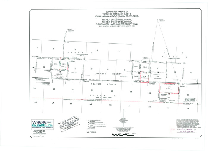
Cochran County Rolled Sketch 6
2025

Yoakum County Rolled Sketch 7
2012
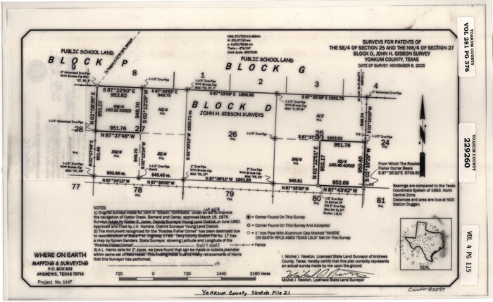
Yoakum County Sketch File 21
2005
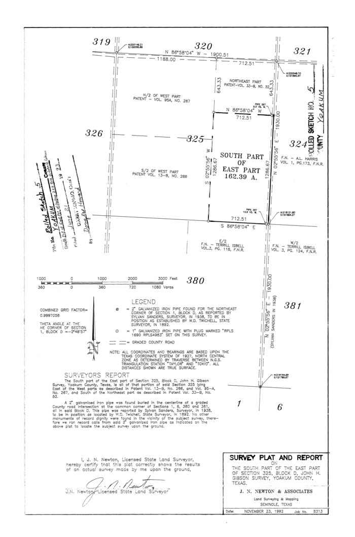
Yoakum County Rolled Sketch 5
1992

Gaines County Working Sketch 30
1990
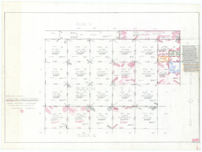
Gaines County Working Sketch 29
1984

Yoakum County Sketch File 20
1977
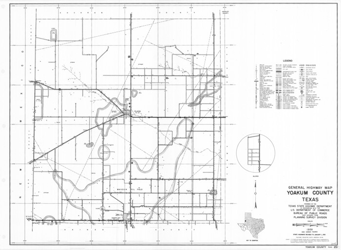
General Highway Map, Yoakum County, Texas
1961

Yoakum County Rolled Sketch 3(2)
1959

Yoakum County Rolled Sketch 3(2)
1959

Yoakum County Rolled Sketch 3(2)
1959
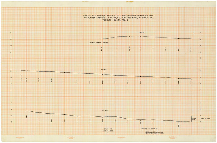
Profile of Proposed Water Line From SW. Public Service Co. Plant to Frontier Chemical Co. Plant, Sections 890 & 891, in Block D
1957

Terry County Sketch File 17
1956
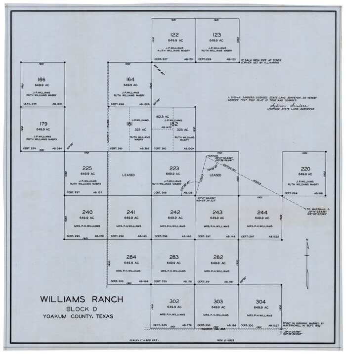
Williams Ranch Block D
1953
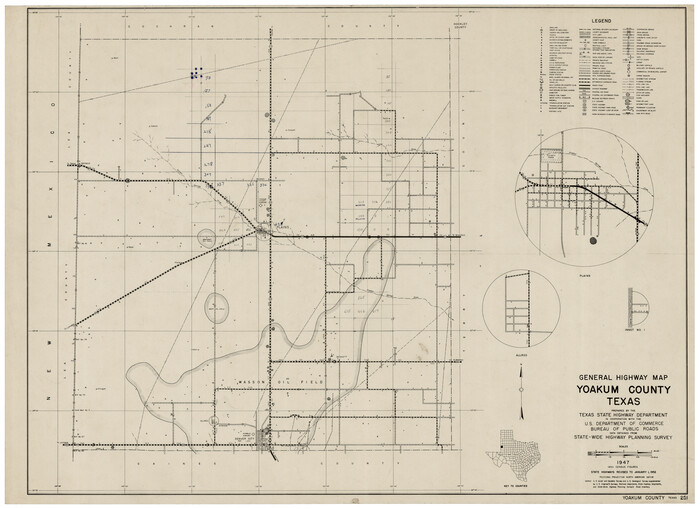
General Highway Map, Yoakum County Texas
1952

Gaines County Working Sketch 9
1951
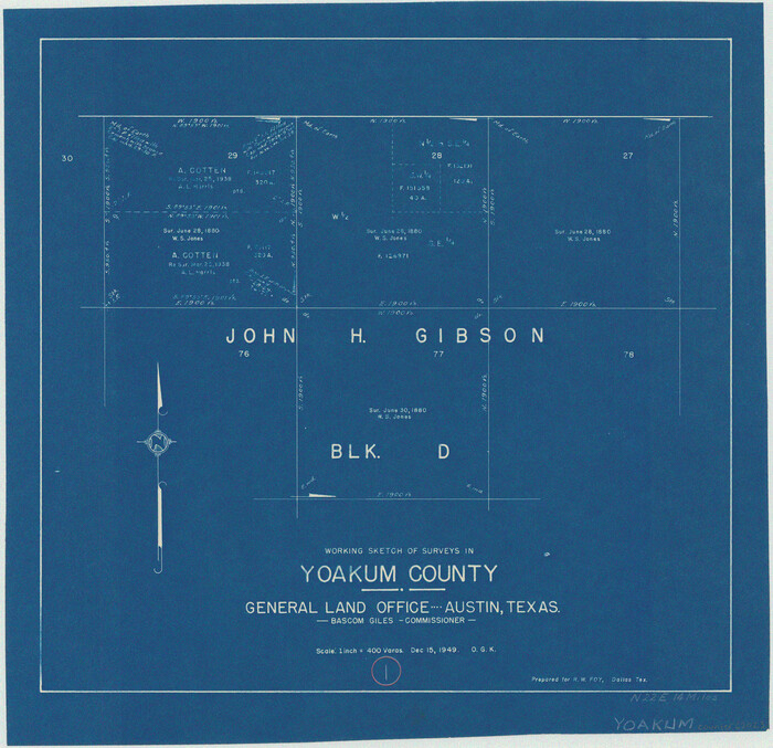
Yoakum County Working Sketch 1
1949

Texas Coordinate File 6
1946

Plat Compiled by W.J. Williams, Plainview, Texas, and Sylvan Sanders, Lubbock, Texas Showing Position of Original and Re-Survey Corners in Lynn, Terry, Yoakum, Gaines, and Dawson Counties, Texas
1946
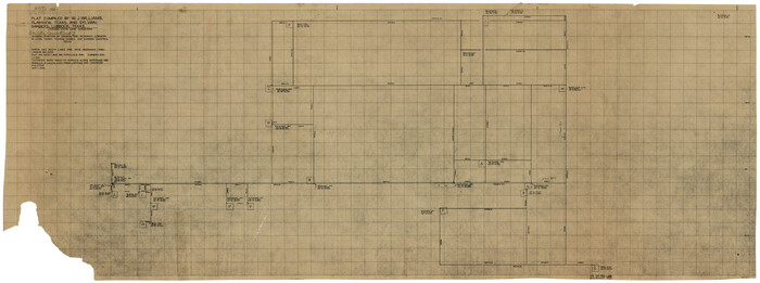
Showing Position of Original and Re-Survey Corners in Lynn, Terry, Yoakum, Gaines and Dawson Counties, Texas
1946

Plat Compiled by W. J. Williams, Plainview, Texas, and Sylvan Sanders, Lubbock, Texas Showing Position of Original and Re-Survey Corners in Lynn, Terry, Yoakum, Gaines and Dawson Counties, Texas
1946
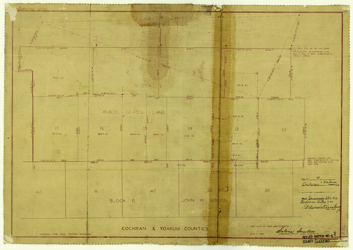
Cochran County Rolled Sketch 4
1945

Cochran and Yoakum Counties, Texas
1945
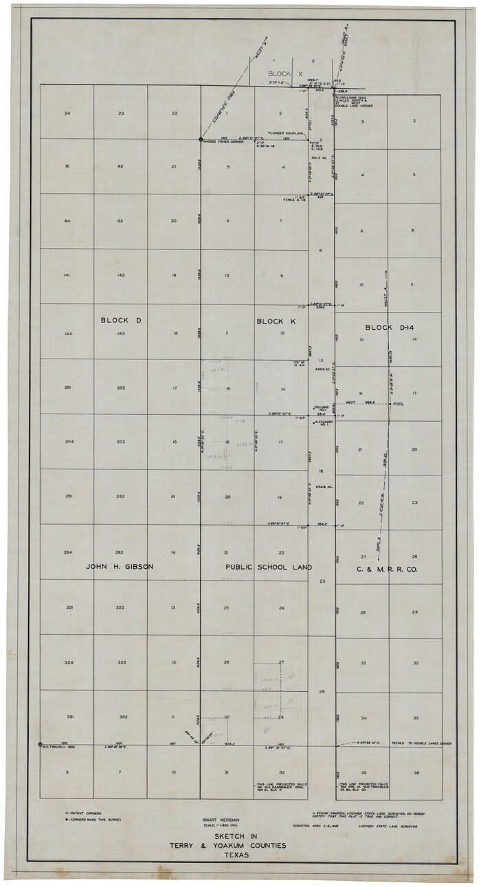
Sketch in Terry & Yoakum Counties
1945

Sketch in Terry and Yoakum Counties
1945
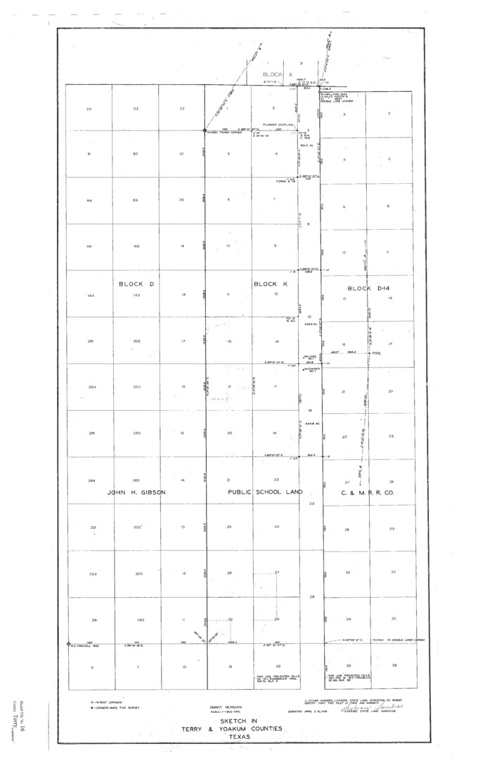
Terry County Sketch File 16
1945
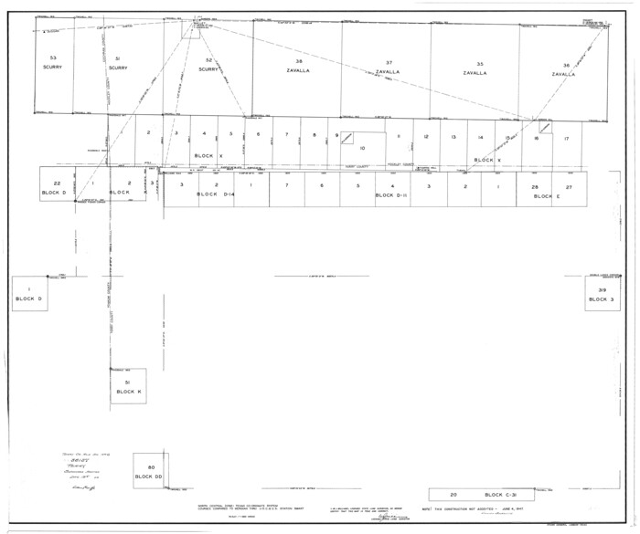
Terry County Rolled Sketch 6
1944
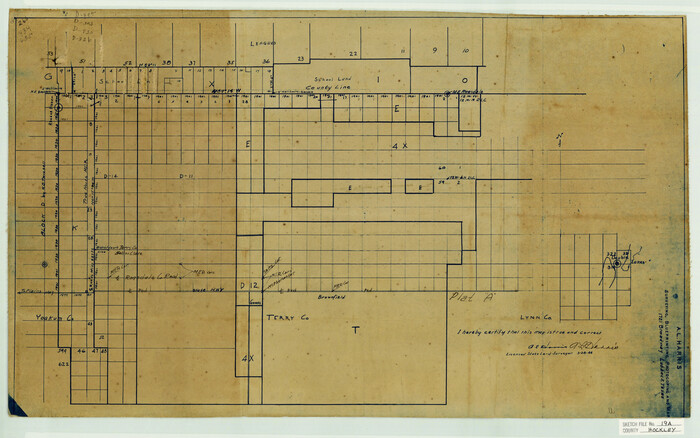
Hockley County Sketch File 19a
1944

Hockley County Sketch File 19
1944
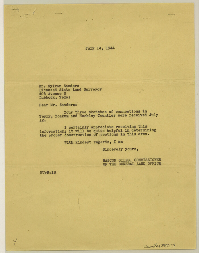
Terry County Sketch File 15
1944

Cochran County Rolled Sketch 6
2025
-
Size
20.5 x 28.2 inches
-
Map/Doc
97417
-
Creation Date
2025

Yoakum County Rolled Sketch 7
2012
-
Size
25.9 x 18.7 inches
-
Map/Doc
93291
-
Creation Date
2012

Yoakum County Sketch File 21
2005
-
Size
8.5 x 14.0 inches
-
Map/Doc
83597
-
Creation Date
2005

Yoakum County Rolled Sketch 5
1992
-
Size
20.9 x 16.3 inches
-
Map/Doc
8290
-
Creation Date
1992

Gaines County Working Sketch 30
1990
-
Size
18.3 x 26.4 inches
-
Map/Doc
69330
-
Creation Date
1990

Gaines County Working Sketch 29
1984
-
Size
32.3 x 42.9 inches
-
Map/Doc
69329
-
Creation Date
1984

Yoakum County Sketch File 20
1977
-
Size
13.1 x 14.5 inches
-
Map/Doc
40841
-
Creation Date
1977

General Highway Map, Yoakum County, Texas
1961
-
Size
18.2 x 24.7 inches
-
Map/Doc
79719
-
Creation Date
1961

Yoakum County Rolled Sketch 3(2)
1959
-
Size
12.7 x 128.8 inches
-
Map/Doc
10163
-
Creation Date
1959

Yoakum County Rolled Sketch 3(2)
1959
-
Size
12.3 x 120.8 inches
-
Map/Doc
76040
-
Creation Date
1959

Yoakum County Rolled Sketch 3(2)
1959
-
Size
12.4 x 104.3 inches
-
Map/Doc
76041
-
Creation Date
1959

Profile of Proposed Water Line From SW. Public Service Co. Plant to Frontier Chemical Co. Plant, Sections 890 & 891, in Block D
1957
-
Size
34.5 x 23.0 inches
-
Map/Doc
92444
-
Creation Date
1957

Terry County Sketch File 17
1956
-
Size
27.7 x 24.7 inches
-
Map/Doc
12429
-
Creation Date
1956

Williams Ranch Block D
1953
-
Size
19.3 x 19.6 inches
-
Map/Doc
92850
-
Creation Date
1953

General Highway Map, Yoakum County Texas
1952
-
Size
26.3 x 19.1 inches
-
Map/Doc
92815
-
Creation Date
1952

Gaines County Working Sketch 9
1951
-
Size
75.2 x 20.8 inches
-
Map/Doc
69309
-
Creation Date
1951

Yoakum County Working Sketch 1
1949
-
Size
18.5 x 19.1 inches
-
Map/Doc
62023
-
Creation Date
1949

Texas Coordinate File 6
1946
-
Size
23.7 x 49.0 inches
-
Map/Doc
75314
-
Creation Date
1946

Plat Compiled by W.J. Williams, Plainview, Texas, and Sylvan Sanders, Lubbock, Texas Showing Position of Original and Re-Survey Corners in Lynn, Terry, Yoakum, Gaines, and Dawson Counties, Texas
1946
-
Size
56.6 x 22.6 inches
-
Map/Doc
89628
-
Creation Date
1946

Showing Position of Original and Re-Survey Corners in Lynn, Terry, Yoakum, Gaines and Dawson Counties, Texas
1946
-
Size
57.3 x 22.1 inches
-
Map/Doc
93044
-
Creation Date
1946

Plat Compiled by W. J. Williams, Plainview, Texas, and Sylvan Sanders, Lubbock, Texas Showing Position of Original and Re-Survey Corners in Lynn, Terry, Yoakum, Gaines and Dawson Counties, Texas
1946
-
Size
57.6 x 22.9 inches
-
Map/Doc
89689
-
Creation Date
1946

Cochran County Rolled Sketch 4
1945
-
Size
16.8 x 23.7 inches
-
Map/Doc
5501
-
Creation Date
1945

Cochran and Yoakum Counties, Texas
1945
-
Size
24.4 x 17.4 inches
-
Map/Doc
92513
-
Creation Date
1945

Sketch in Terry & Yoakum Counties
1945
-
Size
21.8 x 40.0 inches
-
Map/Doc
92854
-
Creation Date
1945

Sketch in Terry and Yoakum Counties
1945
-
Size
20.7 x 38.5 inches
-
Map/Doc
91939
-
Creation Date
1945

Terry County Sketch File 16
1945
-
Size
39.9 x 25.4 inches
-
Map/Doc
10399
-
Creation Date
1945

Terry County Rolled Sketch 6
1944
-
Size
36.5 x 43.7 inches
-
Map/Doc
9996
-
Creation Date
1944

Hockley County Sketch File 19a
1944
-
Size
15.7 x 25.1 inches
-
Map/Doc
11776
-
Creation Date
1944

Hockley County Sketch File 19
1944
-
Size
14.9 x 25.8 inches
-
Map/Doc
11775
-
Creation Date
1944

Terry County Sketch File 15
1944
-
Size
11.3 x 8.9 inches
-
Map/Doc
38034
-
Creation Date
1944