Anderson County Boundary File 1


Print $10.00
- Digital $50.00
Anderson County Boundary File 1
Size: 14.2 x 8.6 inches
49726
Anderson County Boundary File 10
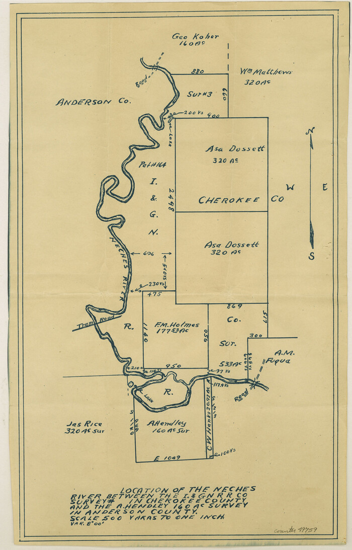

Print $13.00
- Digital $50.00
Anderson County Boundary File 10
Size: 16.0 x 10.2 inches
49759
Anderson County Boundary File 2
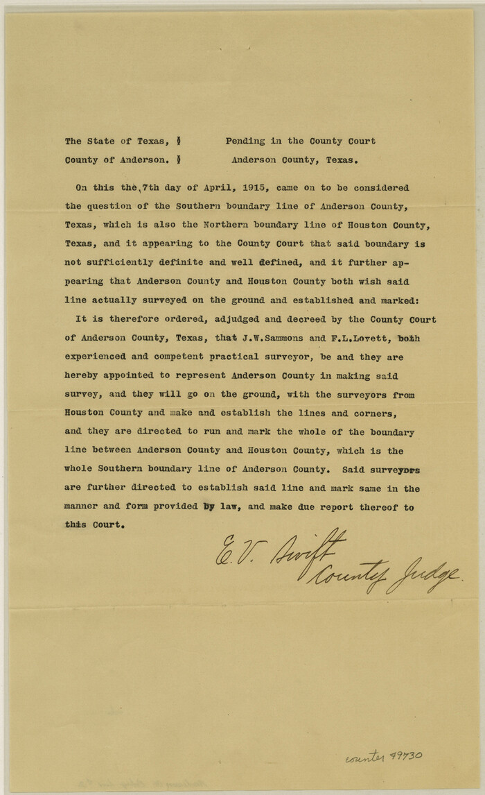

Print $8.00
- Digital $50.00
Anderson County Boundary File 2
Size: 14.3 x 8.7 inches
49730
Anderson County Boundary File 3


Print $9.00
- Digital $50.00
Anderson County Boundary File 3
Size: 14.3 x 8.8 inches
49733
Anderson County Boundary File 4


Print $10.00
- Digital $50.00
Anderson County Boundary File 4
Size: 8.9 x 7.4 inches
49737
Anderson County Boundary File 5
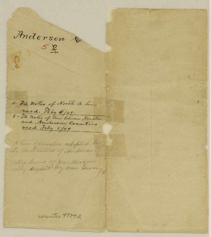

Print $10.00
- Digital $50.00
Anderson County Boundary File 5
Size: 8.1 x 7.2 inches
49742
Anderson County Boundary File 6


Print $9.00
- Digital $50.00
Anderson County Boundary File 6
Size: 14.3 x 8.7 inches
49747
Anderson County Boundary File 7


Print $10.00
- Digital $50.00
Anderson County Boundary File 7
Size: 14.4 x 8.9 inches
49751
Anderson County Boundary File 8
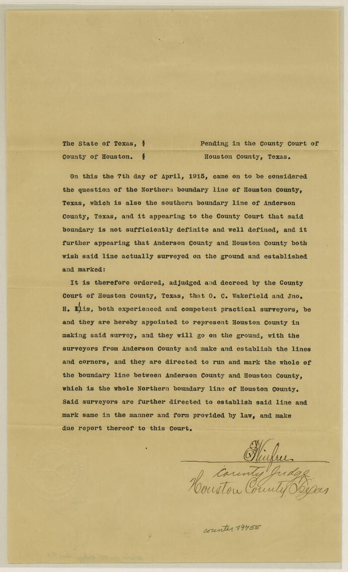

Print $8.00
- Digital $50.00
Anderson County Boundary File 8
Size: 14.5 x 8.8 inches
49755
Anderson County Boundary File 9
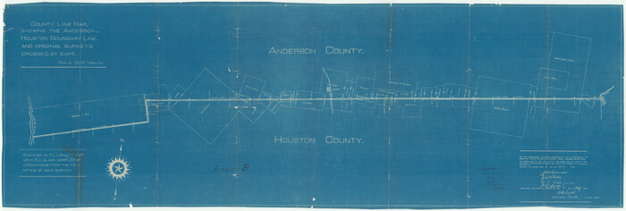

Print $40.00
- Digital $50.00
Anderson County Boundary File 9
Size: 19.7 x 58.3 inches
49758
Anderson County Boundary File Index


Print $2.00
- Digital $50.00
Anderson County Boundary File Index
Size: 9.1 x 3.3 inches
49725
Andrews County Boundary File 1


Print $133.00
- Digital $50.00
Andrews County Boundary File 1
Size: 14.6 x 9.0 inches
49664
Andrews County Boundary File 2a
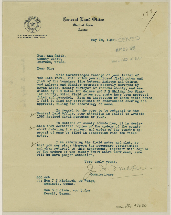

Print $14.00
- Digital $50.00
Andrews County Boundary File 2a
Size: 11.2 x 8.9 inches
49690
Andrews County Boundary File 2b


Print $217.00
- Digital $50.00
Andrews County Boundary File 2b
Size: 9.6 x 56.0 inches
49698
Andrews County Boundary File 2c


Print $70.00
- Digital $50.00
Andrews County Boundary File 2c
Size: 14.6 x 9.2 inches
49709
Andrews County Boundary File 3


Print $8.00
- Digital $50.00
Andrews County Boundary File 3
Size: 7.2 x 8.6 inches
49717
Andrews County Boundary File 4


Print $40.00
- Digital $50.00
Andrews County Boundary File 4
Size: 35.4 x 7.1 inches
49721
Andrews County Boundary File 5
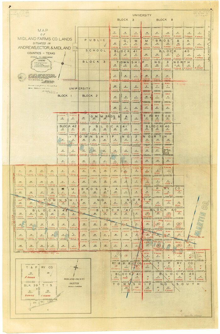

Print $40.00
- Digital $50.00
Andrews County Boundary File 5
Size: 29.8 x 19.6 inches
49723
Angelina County Boundary File 1
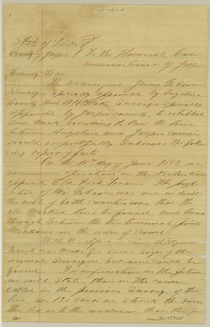

Print $16.00
- Digital $50.00
Angelina County Boundary File 1
Size: 12.9 x 8.3 inches
49765
Angelina County Boundary File 2
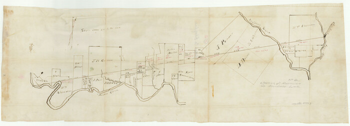

Print $20.00
- Digital $50.00
Angelina County Boundary File 2
Size: 10.2 x 28.2 inches
49773
Aransas County Boundary File 1


Print $14.00
- Digital $50.00
Aransas County Boundary File 1
Size: 14.2 x 8.6 inches
49774
Aransas County Boundary File 2


Print $3.00
- Digital $50.00
Aransas County Boundary File 2
Size: 12.4 x 10.8 inches
49781
Aransas County Boundary File 3
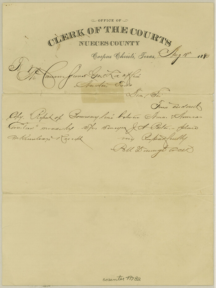

Print $16.00
- Digital $50.00
Aransas County Boundary File 3
Size: 10.6 x 8.0 inches
49782
Aransas County Boundary File 4


Print $30.00
- Digital $50.00
Aransas County Boundary File 4
Size: 9.2 x 7.8 inches
49790
Aransas County Boundary File 5a


Print $14.00
- Digital $50.00
Aransas County Boundary File 5a
Size: 11.3 x 8.7 inches
49796
Aransas County Boundary File 5b
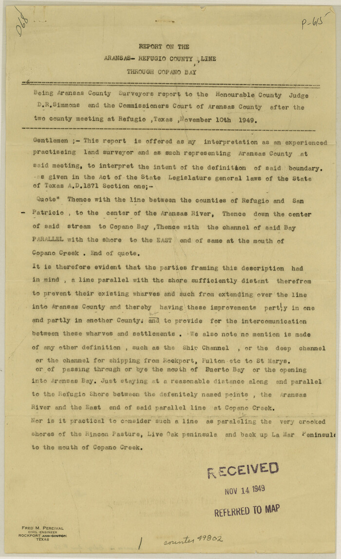

Print $8.00
- Digital $50.00
Aransas County Boundary File 5b
Size: 14.3 x 8.8 inches
49802
Aransas County Boundary File 6


Print $156.00
- Digital $50.00
Aransas County Boundary File 6
Size: 14.1 x 8.5 inches
49806
Aransas County Boundary File 7
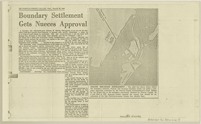

Print $2.00
- Digital $50.00
Aransas County Boundary File 7
Size: 8.8 x 14.2 inches
50042
Aransas County Boundary File 8
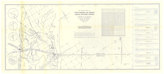

Print $135.00
- Digital $50.00
Aransas County Boundary File 8
Size: 33.6 x 74.0 inches
50043
A Boundary Atlas of Texas, 1821-1845


Digital $50.00
A Boundary Atlas of Texas, 1821-1845
2020
Jim Tiller’s "A Boundary Atlas of Texas, 1821-1845" is available exclusively as a digital download...
-
Map/Doc
96437
-
Creation Date
2020
Anderson County Boundary File 1


Print $10.00
- Digital $50.00
Anderson County Boundary File 1
-
Size
14.2 x 8.6 inches
-
Map/Doc
49726
Anderson County Boundary File 10


Print $13.00
- Digital $50.00
Anderson County Boundary File 10
-
Size
16.0 x 10.2 inches
-
Map/Doc
49759
Anderson County Boundary File 2


Print $8.00
- Digital $50.00
Anderson County Boundary File 2
-
Size
14.3 x 8.7 inches
-
Map/Doc
49730
Anderson County Boundary File 3


Print $9.00
- Digital $50.00
Anderson County Boundary File 3
-
Size
14.3 x 8.8 inches
-
Map/Doc
49733
Anderson County Boundary File 4


Print $10.00
- Digital $50.00
Anderson County Boundary File 4
-
Size
8.9 x 7.4 inches
-
Map/Doc
49737
Anderson County Boundary File 5


Print $10.00
- Digital $50.00
Anderson County Boundary File 5
-
Size
8.1 x 7.2 inches
-
Map/Doc
49742
Anderson County Boundary File 6


Print $9.00
- Digital $50.00
Anderson County Boundary File 6
-
Size
14.3 x 8.7 inches
-
Map/Doc
49747
Anderson County Boundary File 7


Print $10.00
- Digital $50.00
Anderson County Boundary File 7
-
Size
14.4 x 8.9 inches
-
Map/Doc
49751
Anderson County Boundary File 8


Print $8.00
- Digital $50.00
Anderson County Boundary File 8
-
Size
14.5 x 8.8 inches
-
Map/Doc
49755
Anderson County Boundary File 9


Print $40.00
- Digital $50.00
Anderson County Boundary File 9
-
Size
19.7 x 58.3 inches
-
Map/Doc
49758
Anderson County Boundary File Index


Print $2.00
- Digital $50.00
Anderson County Boundary File Index
-
Size
9.1 x 3.3 inches
-
Map/Doc
49725
Andrews County Boundary File 1


Print $133.00
- Digital $50.00
Andrews County Boundary File 1
-
Size
14.6 x 9.0 inches
-
Map/Doc
49664
Andrews County Boundary File 2a


Print $14.00
- Digital $50.00
Andrews County Boundary File 2a
-
Size
11.2 x 8.9 inches
-
Map/Doc
49690
Andrews County Boundary File 2b


Print $217.00
- Digital $50.00
Andrews County Boundary File 2b
-
Size
9.6 x 56.0 inches
-
Map/Doc
49698
Andrews County Boundary File 2c


Print $70.00
- Digital $50.00
Andrews County Boundary File 2c
-
Size
14.6 x 9.2 inches
-
Map/Doc
49709
Andrews County Boundary File 3


Print $8.00
- Digital $50.00
Andrews County Boundary File 3
-
Size
7.2 x 8.6 inches
-
Map/Doc
49717
Andrews County Boundary File 4


Print $40.00
- Digital $50.00
Andrews County Boundary File 4
-
Size
35.4 x 7.1 inches
-
Map/Doc
49721
Andrews County Boundary File 5


Print $40.00
- Digital $50.00
Andrews County Boundary File 5
-
Size
29.8 x 19.6 inches
-
Map/Doc
49723
Angelina County Boundary File 1


Print $16.00
- Digital $50.00
Angelina County Boundary File 1
-
Size
12.9 x 8.3 inches
-
Map/Doc
49765
Angelina County Boundary File 2


Print $20.00
- Digital $50.00
Angelina County Boundary File 2
-
Size
10.2 x 28.2 inches
-
Map/Doc
49773
Aransas County Boundary File 1


Print $14.00
- Digital $50.00
Aransas County Boundary File 1
-
Size
14.2 x 8.6 inches
-
Map/Doc
49774
Aransas County Boundary File 2


Print $3.00
- Digital $50.00
Aransas County Boundary File 2
-
Size
12.4 x 10.8 inches
-
Map/Doc
49781
Aransas County Boundary File 3


Print $16.00
- Digital $50.00
Aransas County Boundary File 3
-
Size
10.6 x 8.0 inches
-
Map/Doc
49782
Aransas County Boundary File 4


Print $30.00
- Digital $50.00
Aransas County Boundary File 4
-
Size
9.2 x 7.8 inches
-
Map/Doc
49790
Aransas County Boundary File 5a


Print $14.00
- Digital $50.00
Aransas County Boundary File 5a
-
Size
11.3 x 8.7 inches
-
Map/Doc
49796
Aransas County Boundary File 5b


Print $8.00
- Digital $50.00
Aransas County Boundary File 5b
-
Size
14.3 x 8.8 inches
-
Map/Doc
49802
Aransas County Boundary File 6


Print $156.00
- Digital $50.00
Aransas County Boundary File 6
-
Size
14.1 x 8.5 inches
-
Map/Doc
49806
Aransas County Boundary File 7


Print $2.00
- Digital $50.00
Aransas County Boundary File 7
-
Size
8.8 x 14.2 inches
-
Map/Doc
50042
Aransas County Boundary File 8


Print $135.00
- Digital $50.00
Aransas County Boundary File 8
-
Size
33.6 x 74.0 inches
-
Map/Doc
50043