
1875 land survey for the International and Great Northern Rail-road Company
1875

A Map of Dallas County
1855
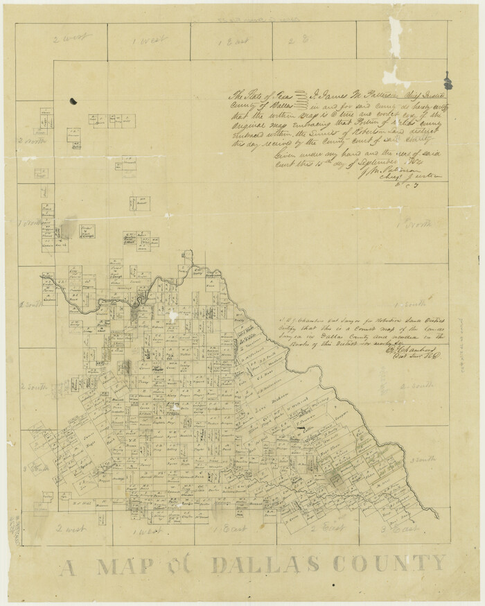
A Map of Dallas County
1854
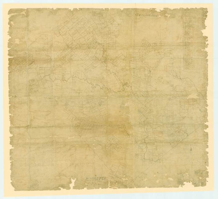
A Map of Gonzales County
1838
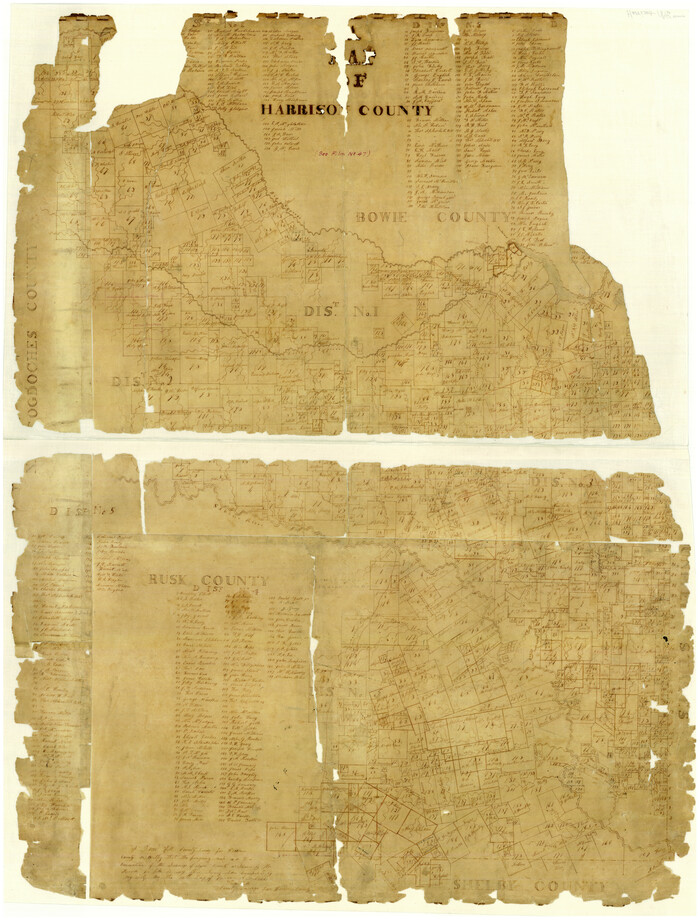
A Map of Harrison County
1846

A Map of Matagorda Bay and County With the Adjacent County
1839

A Map of Sterling County
1919

A Map of That Part of Dallas County, lying in Nacogdoches Land District
1854

Acreage in Texas Counties
1966

Anderson County Working Sketch Graphic Index
1942

Andrews County Sketch File 1

1875 land survey for the International and Great Northern Rail-road Company
1875
-
Size
42.5 x 60.6 inches
-
Map/Doc
2306
-
Creation Date
1875

A Map of Dallas County
1855
-
Size
18.4 x 18.8 inches
-
Map/Doc
3465
-
Creation Date
1855

A Map of Dallas County
1854
-
Size
20.9 x 16.6 inches
-
Map/Doc
4526
-
Creation Date
1854

A Map of Gonzales County
1838
-
Size
34.7 x 39.2 inches
-
Map/Doc
16838
-
Creation Date
1838

A Map of Harrison County
1846
-
Size
40.5 x 30.7 inches
-
Map/Doc
1460
-
Creation Date
1846

A Map of Matagorda Bay and County With the Adjacent County
1839
-
Size
33.9 x 43.1 inches
-
Map/Doc
4855
-
Creation Date
1839

A Map of Sterling County
1919
-
Size
33.3 x 21.6 inches
-
Map/Doc
4054
-
Creation Date
1919

A Map of That Part of Dallas County, lying in Nacogdoches Land District
1854
-
Size
29.9 x 22.6 inches
-
Map/Doc
4525
-
Creation Date
1854

Acreage in Texas Counties
1966
-
Size
47.1 x 25.8 inches
-
Map/Doc
73594
-
Creation Date
1966
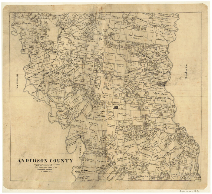
Anderson County
1871
-
Size
20.2 x 21.9 inches
-
Map/Doc
3227
-
Creation Date
1871

Anderson County
1942
-
Size
54.2 x 47.3 inches
-
Map/Doc
66701
-
Creation Date
1942

Anderson County
1942
-
Size
52.9 x 47.9 inches
-
Map/Doc
66702
-
Creation Date
1942

Anderson County
1942
-
Size
53.5 x 47.1 inches
-
Map/Doc
73066
-
Creation Date
1942
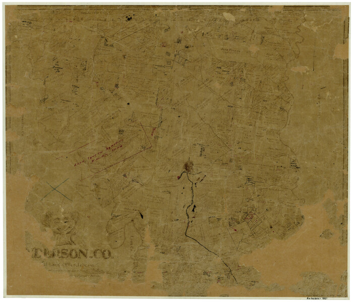
Anderson County
1861
-
Size
18.0 x 21.2 inches
-
Map/Doc
774
-
Creation Date
1861
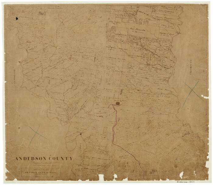
Anderson County
1871
-
Size
18.3 x 20.8 inches
-
Map/Doc
776
-
Creation Date
1871
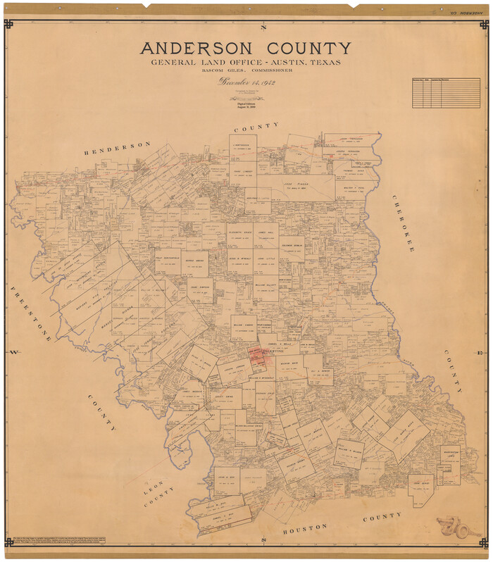
Anderson County
1942
-
Size
54.8 x 48.8 inches
-
Map/Doc
95415
-
Creation Date
1942

Anderson County Working Sketch Graphic Index
1942
-
Size
52.0 x 48.3 inches
-
Map/Doc
76452
-
Creation Date
1942

Andrews County
1951
-
Size
42.7 x 54.5 inches
-
Map/Doc
1769
-
Creation Date
1951

Andrews County
1887
-
Size
22.8 x 25.8 inches
-
Map/Doc
3230
-
Creation Date
1887
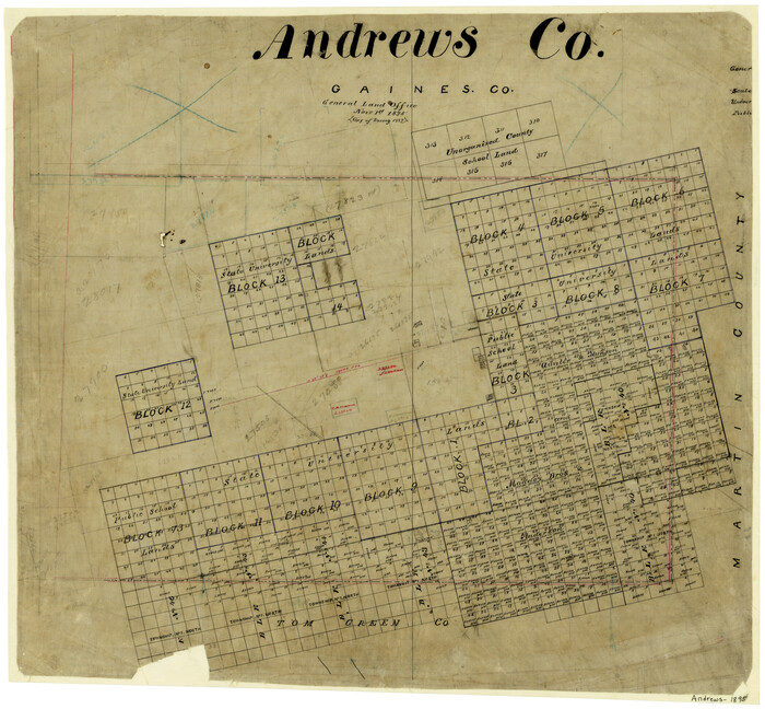
Andrews County
1895
-
Size
24.9 x 26.4 inches
-
Map/Doc
3231
-
Creation Date
1895
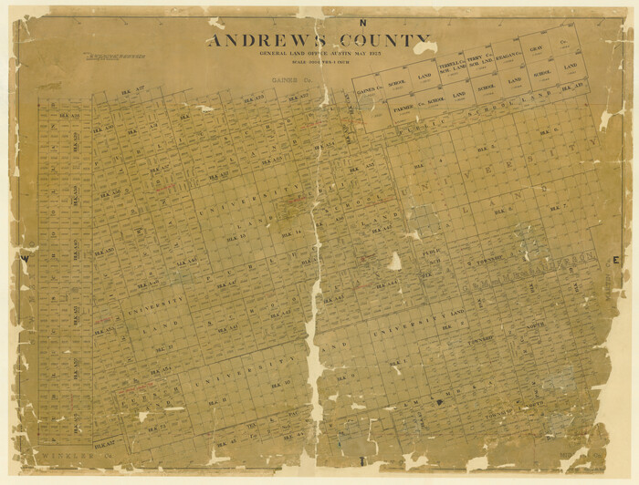
Andrews County
1925
-
Size
42.3 x 55.4 inches
-
Map/Doc
4778
-
Creation Date
1925

Andrews County
1901
-
Size
42.5 x 55.2 inches
-
Map/Doc
4779
-
Creation Date
1901

Andrews County
1901
-
Size
35.9 x 49.7 inches
-
Map/Doc
4872
-
Creation Date
1901

Andrews County
1925
-
Size
42.6 x 57.1 inches
-
Map/Doc
66703
-
Creation Date
1925
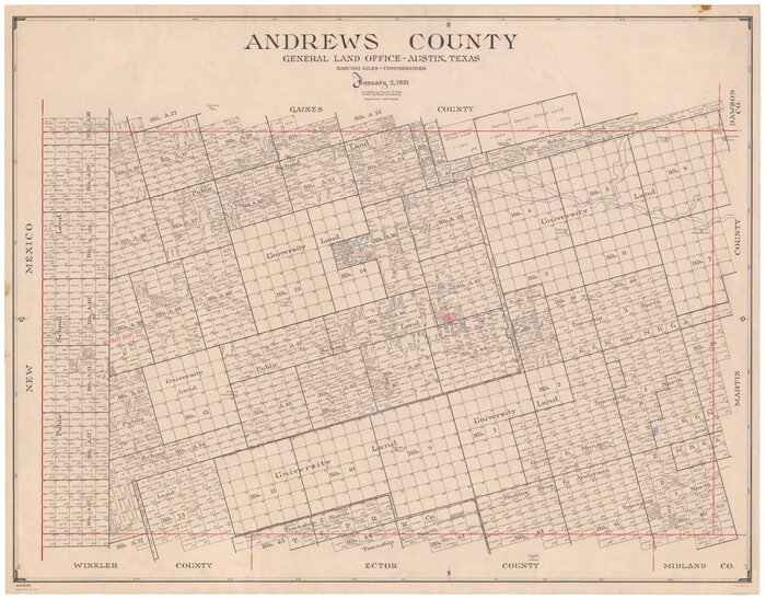
Andrews County
1951
-
Size
42.7 x 54.4 inches
-
Map/Doc
73067
-
Creation Date
1951
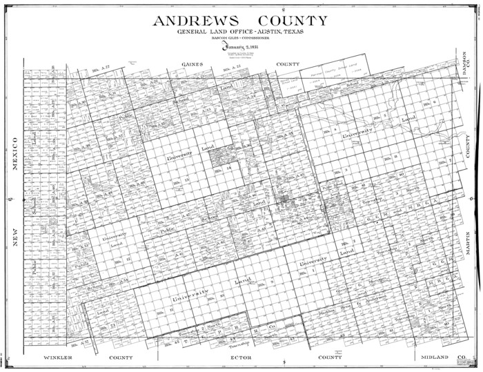
Andrews County
1951
-
Size
43.0 x 54.4 inches
-
Map/Doc
77199
-
Creation Date
1951
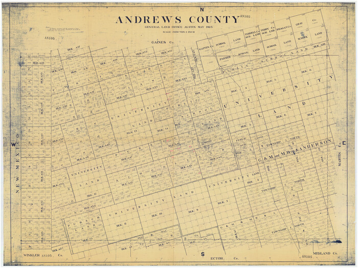
Andrews County
1925
-
Size
56.5 x 42.8 inches
-
Map/Doc
89866
-
Creation Date
1925

Andrews County
1951
-
Size
43.7 x 55.4 inches
-
Map/Doc
95416
-
Creation Date
1951

Andrews County Sketch File 1
-
Size
9.0 x 13.6 inches
-
Map/Doc
12818
