
The Continent and Islands of the West Indies
1804
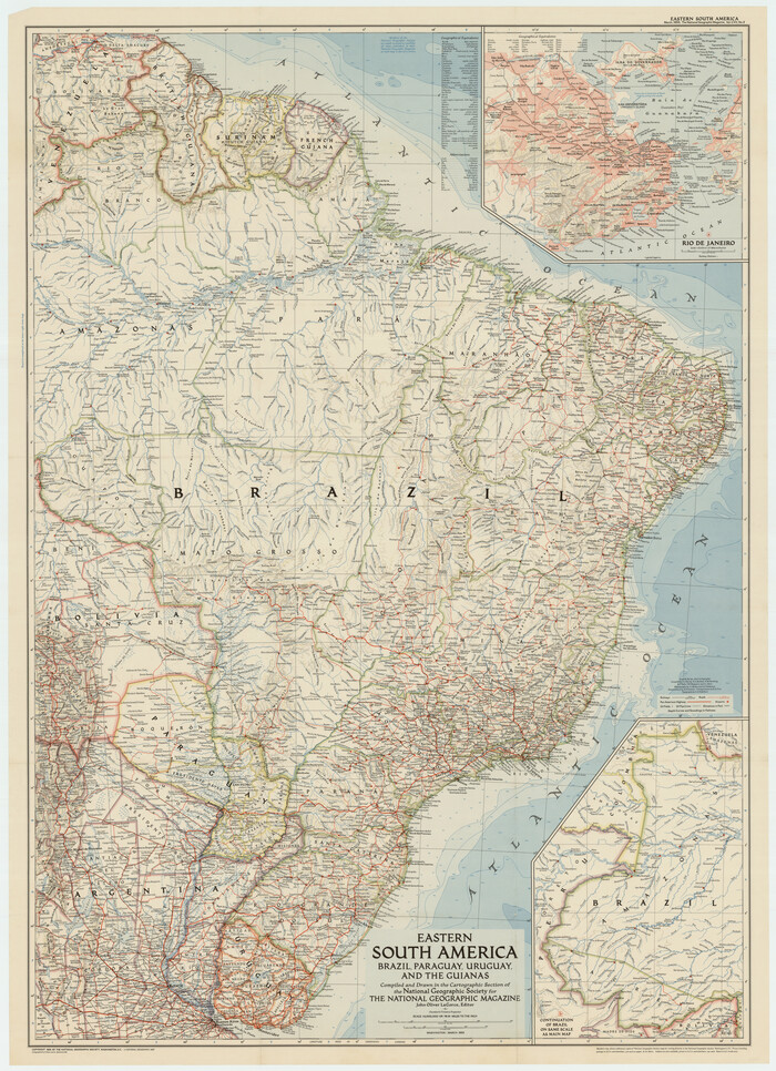
Eastern South America Brazil, Paraguay, Uruguay, and the Guianas
1955

Map of South America engraved to illustrate Mitchell's school and family geography
1839
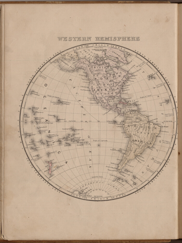
Western Hemisphere
1885

Map of South America engraved to illustrate Mitchell's new intermediate geography
1885

Map of South America to illustrate Olney's school geography
1844

Tabula Terre Nove
1513

Die Neüwen Inseln / so hinder Hispanien gegen Orient bey dem Landt Indie ligen
1540
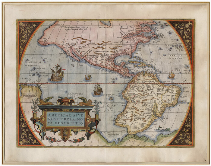
Americae Sive Novi Orbis Nova Descriptio
1579

Qvarte Partie Dv Monde
1575

America siue India Nova ad magnae Gerardi Mercatoris aui Vniversalis imitationem in compendium redacta
1595

America siue India Nova ad magnae Gerardi Mercatoris aui Vniversalis imitationem in compendium redacta
1585

America sive novvs orbis respectv evropaeorvm inferior globi terrestris pars 1596
1596

Americae Sive Novi Orbis Nova Descriptio
1606
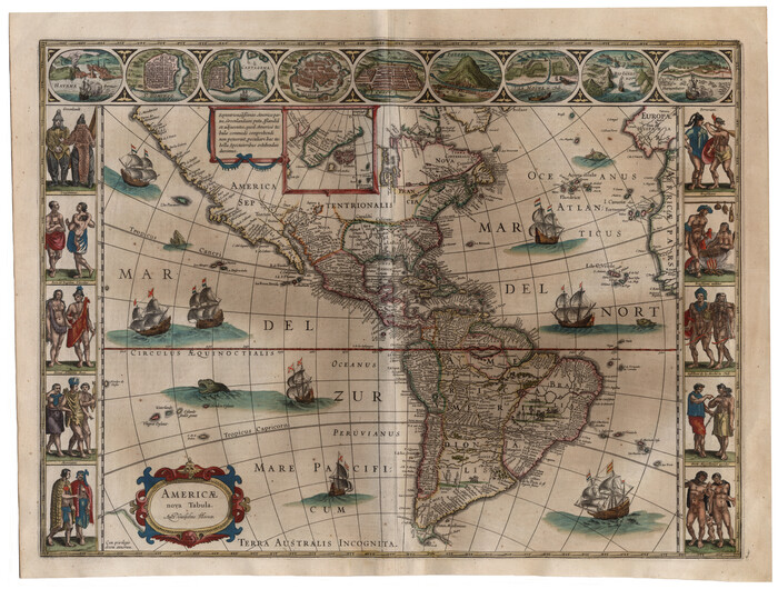
Americae nova Tabula
1635
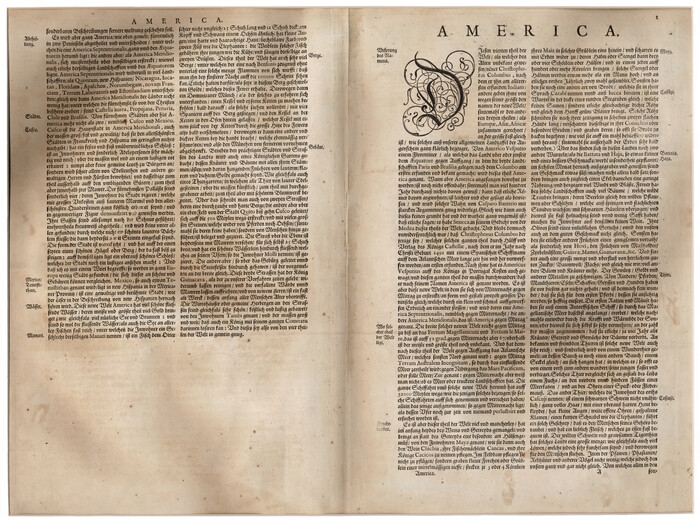
Americae nova Tabula
1617

Amèrica noviter delineata
1630
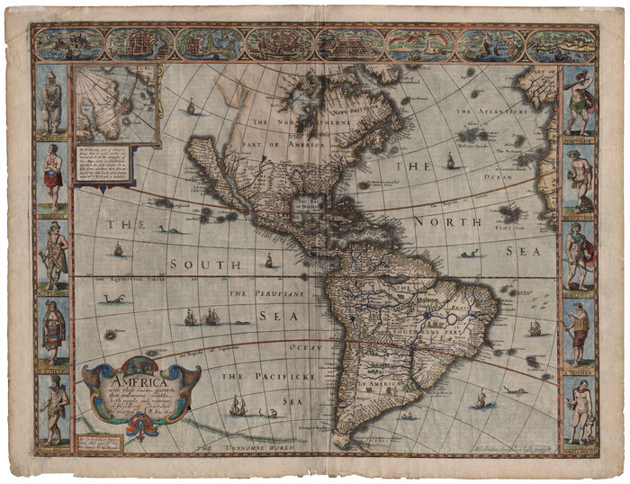
America with those known parts in that unknowne worlde both people and manner of buildings
1626

Nova Totivs Americae Descriptio
1666
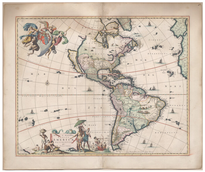
Novissima et Accuratissima Totius Americae Descriptio
1677

Carte Nouvelle de la Mer du Sud
1730
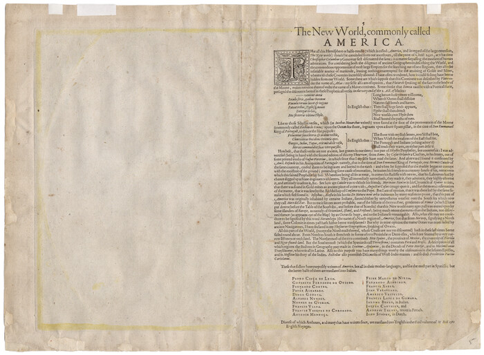
Americae Sive Novi Orbis Nova Descriptio
1606

America with those known parts in that unknowne worlde both people and manner of buildings
1626
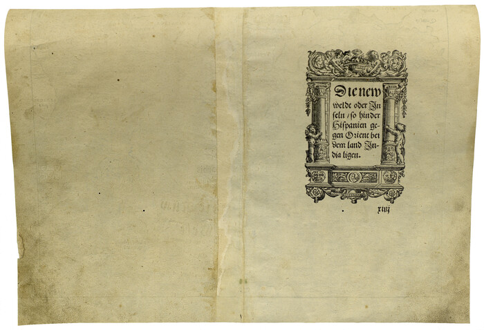
Die Neüwen Inseln / so hinder Hispanien gegen Orient bey dem Landt Indie ligen
1540

Bowles's New Pocket Map of America divided into its Provinces, Colonies, States, Governments &c. exhibiting the British and Spanish Empires therein; together with the Territories belonging to the French, Dutch, Danes & Portuguese
1784

Map of South America designed to accompany Smith's Geography of Schools
1850
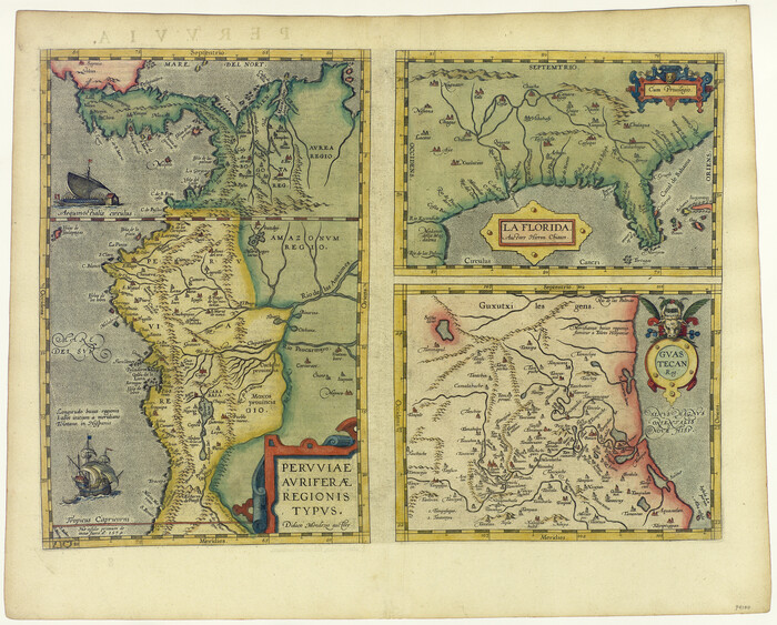
La Florida / Peruviae Avriferæ Regionis Typus / Guastecan
1584

L'Amerique Meridionale, et Septentrionale Dressee selon les derniers Relations et suivant les Nouvelles Decouvertes
1726

The Continent and Islands of the West Indies
1804
-
Size
22.8 x 26.0 inches
-
Map/Doc
79318
-
Creation Date
1804

Eastern South America Brazil, Paraguay, Uruguay, and the Guianas
1955
-
Size
29.8 x 41.2 inches
-
Map/Doc
92389
-
Creation Date
1955

Map of South America engraved to illustrate Mitchell's school and family geography
1839
-
Size
11.8 x 9.5 inches
-
Map/Doc
93501
-
Creation Date
1839

Western Hemisphere
1885
-
Size
12.2 x 9.0 inches
-
Map/Doc
93510
-
Creation Date
1885

Map of South America engraved to illustrate Mitchell's new intermediate geography
1885
-
Size
12.2 x 9.0 inches
-
Map/Doc
93525
-
Creation Date
1885

Map of South America to illustrate Olney's school geography
1844
-
Size
12.1 x 9.5 inches
-
Map/Doc
93545
-
Creation Date
1844

Tabula Terre Nove
1513
-
Size
18.7 x 24.6 inches
-
Map/Doc
93800
-
Creation Date
1513

Die Neüwen Inseln / so hinder Hispanien gegen Orient bey dem Landt Indie ligen
1540
-
Size
12.3 x 15.6 inches
-
Map/Doc
93803
-
Creation Date
1540

Americae Sive Novi Orbis Nova Descriptio
1579
-
Size
18.0 x 22.9 inches
-
Map/Doc
93805
-
Creation Date
1579

Qvarte Partie Dv Monde
1575
-
Size
15.3 x 18.9 inches
-
Map/Doc
93806
-
Creation Date
1575

America siue India Nova ad magnae Gerardi Mercatoris aui Vniversalis imitationem in compendium redacta
1595
-
Size
18.3 x 21.6 inches
-
Map/Doc
93807
-
Creation Date
1595

America siue India Nova ad magnae Gerardi Mercatoris aui Vniversalis imitationem in compendium redacta
1585
-
Size
16.9 x 20.2 inches
-
Map/Doc
93808
-
Creation Date
1585

America sive novvs orbis respectv evropaeorvm inferior globi terrestris pars 1596
1596
-
Size
14.7 x 18.1 inches
-
Map/Doc
93809
-
Creation Date
1596

Americae Sive Novi Orbis Nova Descriptio
1606
-
Size
16.5 x 22.4 inches
-
Map/Doc
93810
-
Creation Date
1606

America
1607
-
Size
18.1 x 21.3 inches
-
Map/Doc
93811
-
Creation Date
1607

Americae nova Tabula
1635
-
Size
18.4 x 24.3 inches
-
Map/Doc
93812
-
Creation Date
1635

Americae nova Tabula
1617
-
Size
16.0 x 21.5 inches
-
Map/Doc
93813
-
Creation Date
1617

Amèrica noviter delineata
1630
-
Size
21.5 x 24.7 inches
-
Map/Doc
93814
-
Creation Date
1630

America with those known parts in that unknowne worlde both people and manner of buildings
1626
-
Size
17.1 x 22.2 inches
-
Map/Doc
93816
-
Creation Date
1626

Nova Totivs Americae Descriptio
1666
-
Size
21.2 x 24.3 inches
-
Map/Doc
93818
-
Creation Date
1666

Novissima et Accuratissima Totius Americae Descriptio
1677
-
Size
20.9 x 25.0 inches
-
Map/Doc
93819
-
Creation Date
1677

Carte Nouvelle de la Mer du Sud
1730
-
Size
25.8 x 39.6 inches
-
Map/Doc
93824
-
Creation Date
1730

Americae Sive Novi Orbis Nova Descriptio
1606
-
Size
16.4 x 22.3 inches
-
Map/Doc
93829
-
Creation Date
1606

America with those known parts in that unknowne worlde both people and manner of buildings
1626
-
Size
17.2 x 22.3 inches
-
Map/Doc
93830
-
Creation Date
1626

Die Neüwen Inseln / so hinder Hispanien gegen Orient bey dem Landt Indie ligen
1540
-
Size
10.8 x 15.8 inches
-
Map/Doc
93831
-
Creation Date
1540

Bowles's New Pocket Map of America divided into its Provinces, Colonies, States, Governments &c. exhibiting the British and Spanish Empires therein; together with the Territories belonging to the French, Dutch, Danes & Portuguese
1784
-
Size
21.3 x 23.1 inches
-
Map/Doc
93838
-
Creation Date
1784

Map of South America designed to accompany Smith's Geography of Schools
1850
-
Size
12.0 x 9.8 inches
-
Map/Doc
93891
-
Creation Date
1850

La Florida / Peruviae Avriferæ Regionis Typus / Guastecan
1584
-
Size
16.8 x 20.9 inches
-
Map/Doc
94100
-
Creation Date
1584

L'Amerique Meridionale, et Septentrionale Dressee selon les derniers Relations et suivant les Nouvelles Decouvertes
1726
-
Size
18.9 x 24.1 inches
-
Map/Doc
95134
-
Creation Date
1726
