de Leon Empresario Colony. April 30, 1829

Print $20.00
de Leon Empresario Colony. April 30, 1829
2020
Size: 18.5 x 21.7 inches
95990
de Leon Empresario Colony. April 15, 1824

Print $20.00
de Leon Empresario Colony. April 15, 1824
2020
Size: 18.5 x 21.7 inches
95988
de Leon Empresario Colony. Absorbed by DeWitt Colony. April 15, 1825

Print $20.00
de Leon Empresario Colony. Absorbed by DeWitt Colony. April 15, 1825
2020
Size: 18.5 x 21.7 inches
95989
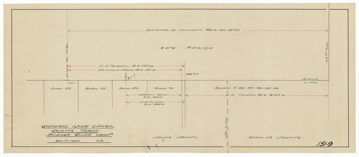
[Texas, New Mexico Clark's Monument #26]
Print $3.00
- Digital $50.00
[Texas, New Mexico Clark's Monument #26]
1941
Size: 16.1 x 7.4 inches
91309
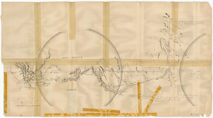
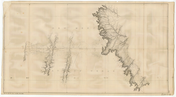
[Texas Panhandle North Boundary Line]
Print $20.00
- Digital $50.00
[Texas Panhandle North Boundary Line]
1898
Size: 43.6 x 11.4 inches
1714
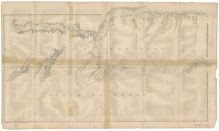
[Texas Panhandle North Boundary Line]

Print $20.00
- Digital $50.00
[Texas Panhandle North Boundary Line]
1898
Size: 11.9 x 46.1 inches
1737
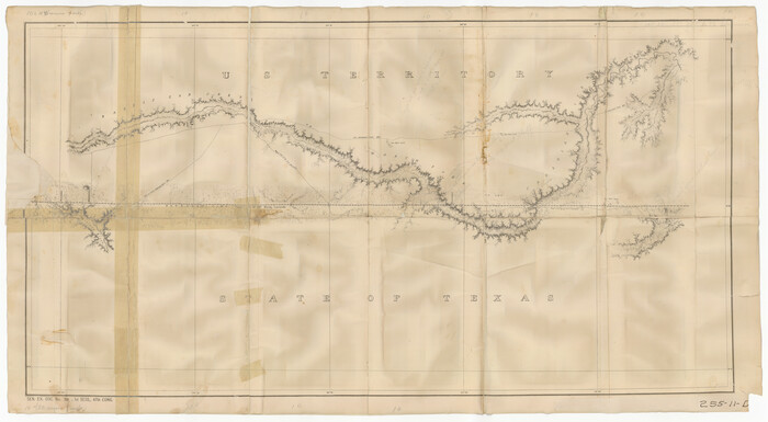
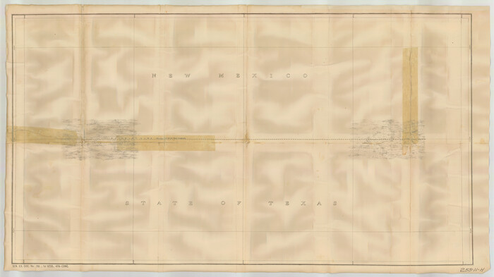
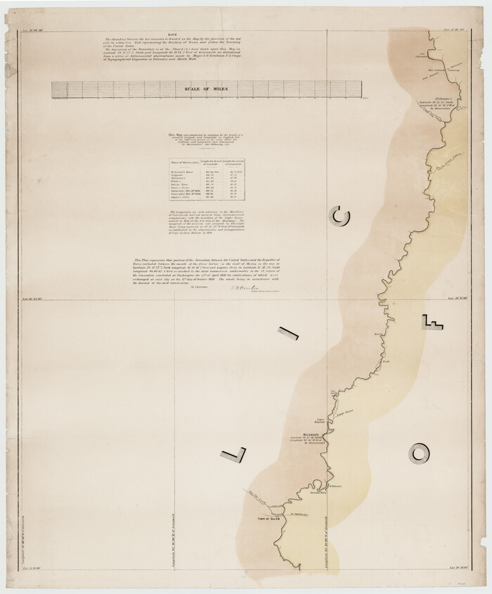
[Texas Boundary Line]
Print $20.00
- Digital $50.00
[Texas Boundary Line]
Size: 31.8 x 18.1 inches
92069
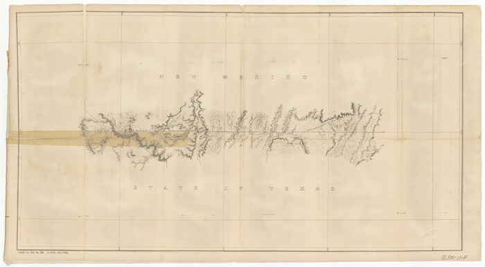
[Texas Boundary Line]
Print $20.00
- Digital $50.00
[Texas Boundary Line]
Size: 21.5 x 12.0 inches
92070
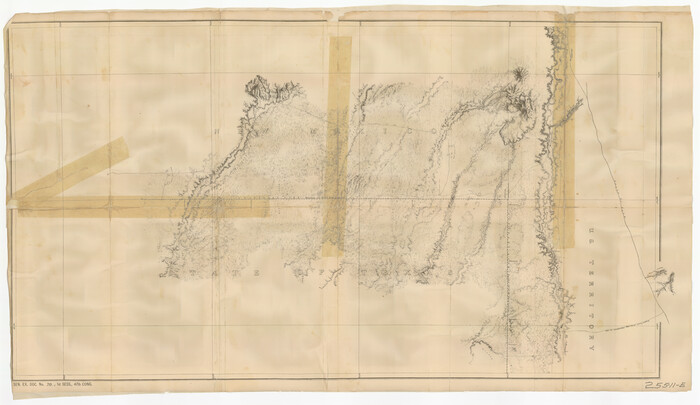
[Texas Boundary Line]
Print $20.00
- Digital $50.00
[Texas Boundary Line]
Size: 21.5 x 12.0 inches
92071
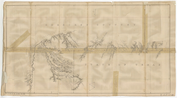
[Texas Boundary Line]
Print $20.00
- Digital $50.00
[Texas Boundary Line]
Size: 21.6 x 12.9 inches
92072
[Texas Boundary Line]
Print $20.00
- Digital $50.00
[Texas Boundary Line]
Size: 21.5 x 11.9 inches
92073
[Texas Boundary Line]
Print $20.00
- Digital $50.00
[Texas Boundary Line]
Size: 21.4 x 11.9 inches
92075
[Texas Boundary Line]
Print $20.00
- Digital $50.00
[Texas Boundary Line]
Size: 21.2 x 12.0 inches
92077
[Texas Boundary Line]
Print $20.00
- Digital $50.00
[Texas Boundary Line]
Size: 21.7 x 12.1 inches
92080
[Texas Boundary Line]
Print $20.00
- Digital $50.00
[Texas Boundary Line]
Size: 21.2 x 12.4 inches
92081
[Texas Boundary Line]
Print $20.00
- Digital $50.00
[Texas Boundary Line]
Size: 21.6 x 12.2 inches
92082
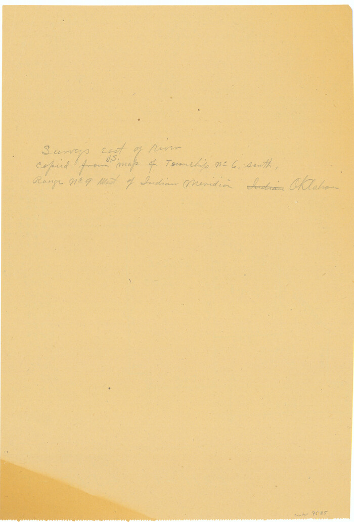
[Surveys East of river copied from U.S. map of Township No. 6 South, Range No. 9 West of the Indian Meridian, Oklahoma]
Print $2.00
- Digital $50.00
[Surveys East of river copied from U.S. map of Township No. 6 South, Range No. 9 West of the Indian Meridian, Oklahoma]
Size: 13.3 x 9.0 inches
75185
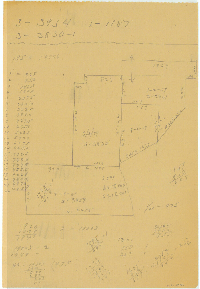
[Surveys East of river copied from U.S. map of Township No. 6 South, Range No. 9 West of the Indian Meridian, Oklahoma]
Print $2.00
- Digital $50.00
[Surveys East of river copied from U.S. map of Township No. 6 South, Range No. 9 West of the Indian Meridian, Oklahoma]
Size: 13.3 x 9.2 inches
75186
[State Line - 103rd Meridian - in relation to Leagues]
Print $20.00
- Digital $50.00
[State Line - 103rd Meridian - in relation to Leagues]
Size: 19.9 x 8.3 inches
91551
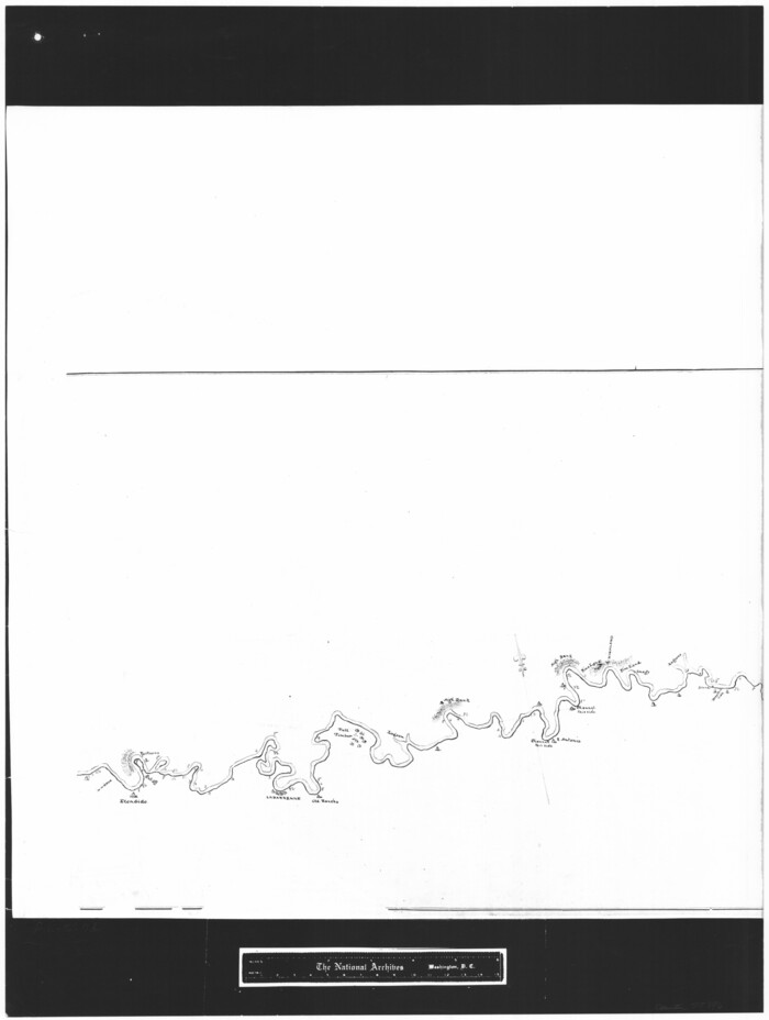
[Sketch showing the Rio Grande with towns and features annotated]
Print $20.00
- Digital $50.00
[Sketch showing the Rio Grande with towns and features annotated]
1854
Size: 24.4 x 18.3 inches
72895
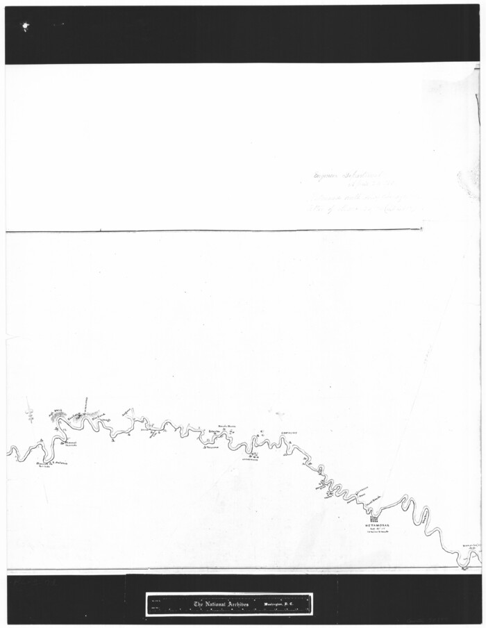
[Sketch showing the Rio Grande with towns and features annotated]
Print $20.00
- Digital $50.00
[Sketch showing the Rio Grande with towns and features annotated]
1854
Size: 24.1 x 18.2 inches
72896
[Sketch showing the Rio Grande with towns and features annotated]
Print $20.00
- Digital $50.00
[Sketch showing the Rio Grande with towns and features annotated]
1854
Size: 23.7 x 18.4 inches
72897
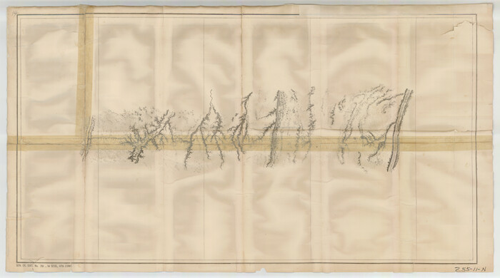
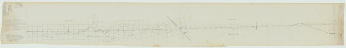
[Plat No. 1, Connecting line from SW corner of Jones Co. to SE corner of Borden Co.]
Print $40.00
- Digital $50.00
[Plat No. 1, Connecting line from SW corner of Jones Co. to SE corner of Borden Co.]
1908
Size: 18.1 x 128.8 inches
1698
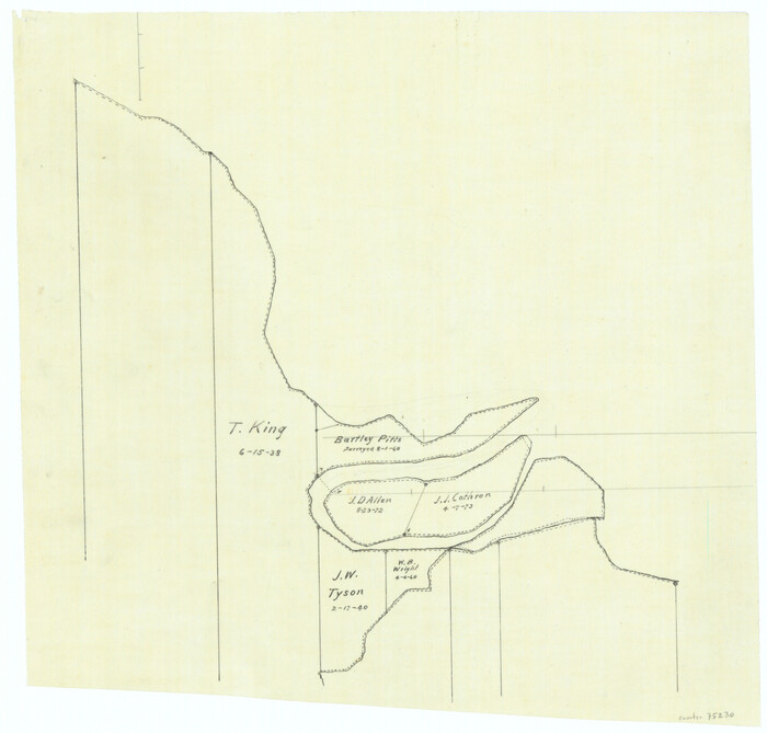
[Overlay for Fractional Township No. 7 South Range No. 17 East of the Indian Meridian, Indian Territory]
Print $3.00
- Digital $50.00
[Overlay for Fractional Township No. 7 South Range No. 17 East of the Indian Meridian, Indian Territory]
Size: 11.2 x 11.7 inches
75230
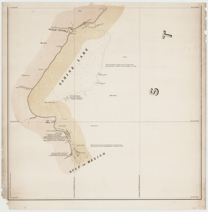
[Map of the River Sabine from its mouth on the Gulf of Mexico in the sea to Logan's Ferry in Latitude 31° 58' 24" North]
Print $20.00
- Digital $50.00
[Map of the River Sabine from its mouth on the Gulf of Mexico in the sea to Logan's Ferry in Latitude 31° 58' 24" North]
Size: 31.5 x 31.3 inches
94005
[Map of the River Sabine from its mouth on the Gulf of Mexico in the sea to Logan's Ferry in Latitude 31° 58' 24" North]
Print $20.00
- Digital $50.00
[Map of the River Sabine from its mouth on the Gulf of Mexico in the sea to Logan's Ferry in Latitude 31° 58' 24" North]
Size: 37.7 x 31.6 inches
94006
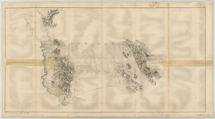
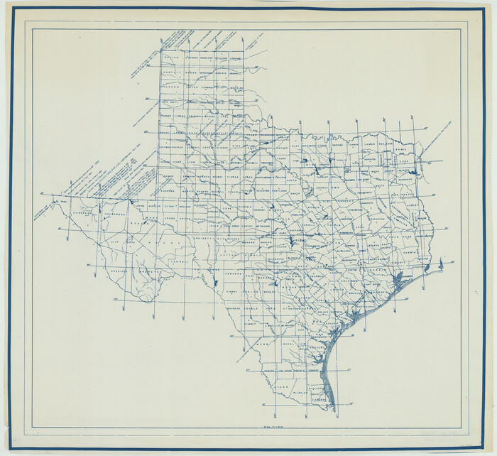
[Map of Texas showing Counties, County Seats, Rivers and Location of State Boundary Line Markers]
Print $20.00
- Digital $50.00
[Map of Texas showing Counties, County Seats, Rivers and Location of State Boundary Line Markers]
1950
Size: 30.2 x 32.9 inches
60304
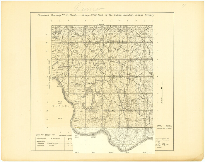
[Fractional Township No. 7 South Range No. 17 East of the Indian Meridian, Indian Territory]
Print $20.00
- Digital $50.00
[Fractional Township No. 7 South Range No. 17 East of the Indian Meridian, Indian Territory]
Size: 19.2 x 24.3 inches
75231
Zavala Empresario Colony. March 12, 1829

Print $20.00
Zavala Empresario Colony. March 12, 1829
2020
Size: 24.7 x 21.7 inches
96012
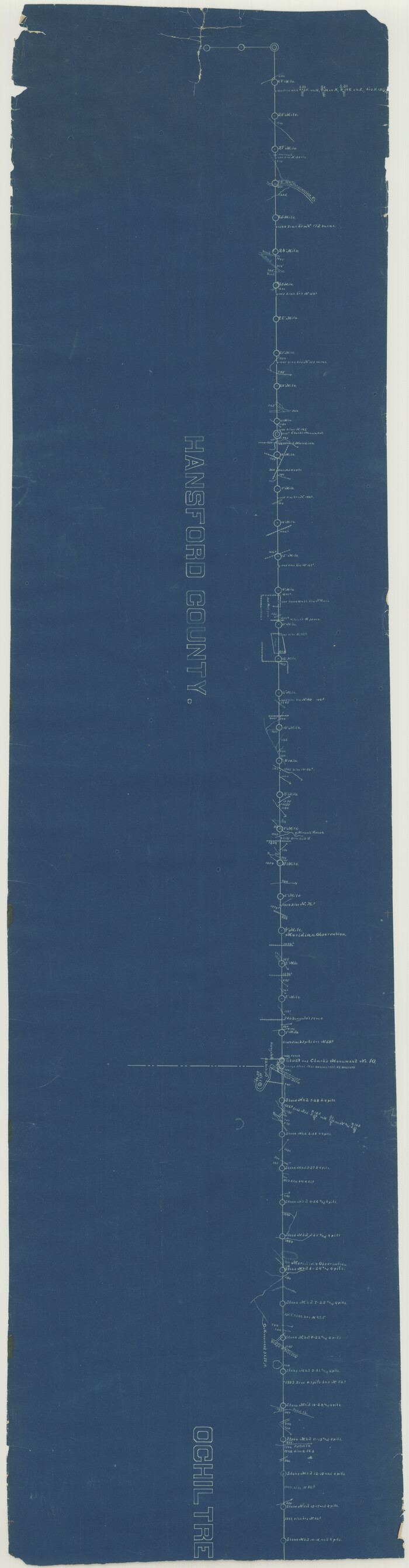
Yoakum County Sketch File 3

Print $54.00
- Digital $50.00
Yoakum County Sketch File 3
1892
Size: 14.2 x 8.8 inches
40705
de Leon Empresario Colony. April 30, 1829
Print $20.00
de Leon Empresario Colony. April 30, 1829
2020
-
Size
18.5 x 21.7 inches
-
Map/Doc
95990
-
Creation Date
2020
de Leon Empresario Colony. April 15, 1824
Print $20.00
de Leon Empresario Colony. April 15, 1824
2020
-
Size
18.5 x 21.7 inches
-
Map/Doc
95988
-
Creation Date
2020
de Leon Empresario Colony. Absorbed by DeWitt Colony. April 15, 1825
Print $20.00
de Leon Empresario Colony. Absorbed by DeWitt Colony. April 15, 1825
2020
-
Size
18.5 x 21.7 inches
-
Map/Doc
95989
-
Creation Date
2020
[Texas, New Mexico Clark's Monument #26]
Print $3.00
- Digital $50.00
[Texas, New Mexico Clark's Monument #26]
1941
-
Size
16.1 x 7.4 inches
-
Map/Doc
91309
-
Creation Date
1941
[Texas Panhandle North Boundary Line]
Print $20.00
- Digital $50.00
[Texas Panhandle North Boundary Line]
1898
-
Size
43.6 x 11.4 inches
-
Map/Doc
1714
-
Creation Date
1898
[Texas Panhandle North Boundary Line]
Print $20.00
- Digital $50.00
[Texas Panhandle North Boundary Line]
1898
-
Size
11.9 x 46.1 inches
-
Map/Doc
1737
-
Creation Date
1898
[Texas Boundary Line]
Print $20.00
- Digital $50.00
[Texas Boundary Line]
-
Size
31.8 x 18.1 inches
-
Map/Doc
92069
[Texas Boundary Line]
Print $20.00
- Digital $50.00
[Texas Boundary Line]
-
Size
21.5 x 12.0 inches
-
Map/Doc
92070
[Texas Boundary Line]
Print $20.00
- Digital $50.00
[Texas Boundary Line]
-
Size
21.5 x 12.0 inches
-
Map/Doc
92071
[Texas Boundary Line]
Print $20.00
- Digital $50.00
[Texas Boundary Line]
-
Size
21.6 x 12.9 inches
-
Map/Doc
92072
[Texas Boundary Line]
Print $20.00
- Digital $50.00
[Texas Boundary Line]
-
Size
21.5 x 11.9 inches
-
Map/Doc
92073
[Texas Boundary Line]
Print $20.00
- Digital $50.00
[Texas Boundary Line]
-
Size
21.4 x 11.9 inches
-
Map/Doc
92075
[Texas Boundary Line]
Print $20.00
- Digital $50.00
[Texas Boundary Line]
-
Size
21.2 x 12.0 inches
-
Map/Doc
92077
[Texas Boundary Line]
Print $20.00
- Digital $50.00
[Texas Boundary Line]
-
Size
21.7 x 12.1 inches
-
Map/Doc
92080
[Texas Boundary Line]
Print $20.00
- Digital $50.00
[Texas Boundary Line]
-
Size
21.2 x 12.4 inches
-
Map/Doc
92081
[Texas Boundary Line]
Print $20.00
- Digital $50.00
[Texas Boundary Line]
-
Size
21.6 x 12.2 inches
-
Map/Doc
92082
[Surveys East of river copied from U.S. map of Township No. 6 South, Range No. 9 West of the Indian Meridian, Oklahoma]
Print $2.00
- Digital $50.00
[Surveys East of river copied from U.S. map of Township No. 6 South, Range No. 9 West of the Indian Meridian, Oklahoma]
-
Size
13.3 x 9.0 inches
-
Map/Doc
75185
[Surveys East of river copied from U.S. map of Township No. 6 South, Range No. 9 West of the Indian Meridian, Oklahoma]
Print $2.00
- Digital $50.00
[Surveys East of river copied from U.S. map of Township No. 6 South, Range No. 9 West of the Indian Meridian, Oklahoma]
-
Size
13.3 x 9.2 inches
-
Map/Doc
75186
[State Line - 103rd Meridian - in relation to Leagues]
Print $20.00
- Digital $50.00
[State Line - 103rd Meridian - in relation to Leagues]
-
Size
19.9 x 8.3 inches
-
Map/Doc
91551
[Sketch showing the Rio Grande with towns and features annotated]
Print $20.00
- Digital $50.00
[Sketch showing the Rio Grande with towns and features annotated]
1854
-
Size
24.4 x 18.3 inches
-
Map/Doc
72895
-
Creation Date
1854
[Sketch showing the Rio Grande with towns and features annotated]
Print $20.00
- Digital $50.00
[Sketch showing the Rio Grande with towns and features annotated]
1854
-
Size
24.1 x 18.2 inches
-
Map/Doc
72896
-
Creation Date
1854
[Sketch showing the Rio Grande with towns and features annotated]
Print $20.00
- Digital $50.00
[Sketch showing the Rio Grande with towns and features annotated]
1854
-
Size
23.7 x 18.4 inches
-
Map/Doc
72897
-
Creation Date
1854
[Plat No. 1, Connecting line from SW corner of Jones Co. to SE corner of Borden Co.]
Print $40.00
- Digital $50.00
[Plat No. 1, Connecting line from SW corner of Jones Co. to SE corner of Borden Co.]
1908
-
Size
18.1 x 128.8 inches
-
Map/Doc
1698
-
Creation Date
1908
[Overlay for Fractional Township No. 7 South Range No. 17 East of the Indian Meridian, Indian Territory]
Print $3.00
- Digital $50.00
[Overlay for Fractional Township No. 7 South Range No. 17 East of the Indian Meridian, Indian Territory]
-
Size
11.2 x 11.7 inches
-
Map/Doc
75230
[Map of the River Sabine from its mouth on the Gulf of Mexico in the sea to Logan's Ferry in Latitude 31° 58' 24" North]
Print $20.00
- Digital $50.00
[Map of the River Sabine from its mouth on the Gulf of Mexico in the sea to Logan's Ferry in Latitude 31° 58' 24" North]
-
Size
31.5 x 31.3 inches
-
Map/Doc
94005
[Map of the River Sabine from its mouth on the Gulf of Mexico in the sea to Logan's Ferry in Latitude 31° 58' 24" North]
Print $20.00
- Digital $50.00
[Map of the River Sabine from its mouth on the Gulf of Mexico in the sea to Logan's Ferry in Latitude 31° 58' 24" North]
-
Size
37.7 x 31.6 inches
-
Map/Doc
94006
[Map of Texas showing Counties, County Seats, Rivers and Location of State Boundary Line Markers]
Print $20.00
- Digital $50.00
[Map of Texas showing Counties, County Seats, Rivers and Location of State Boundary Line Markers]
1950
-
Size
30.2 x 32.9 inches
-
Map/Doc
60304
-
Creation Date
1950
[Fractional Township No. 7 South Range No. 17 East of the Indian Meridian, Indian Territory]
Print $20.00
- Digital $50.00
[Fractional Township No. 7 South Range No. 17 East of the Indian Meridian, Indian Territory]
-
Size
19.2 x 24.3 inches
-
Map/Doc
75231
Zavala Empresario Colony. March 12, 1829
Print $20.00
Zavala Empresario Colony. March 12, 1829
2020
-
Size
24.7 x 21.7 inches
-
Map/Doc
96012
-
Creation Date
2020
Yoakum County Sketch File 3
Print $54.00
- Digital $50.00
Yoakum County Sketch File 3
1892
-
Size
14.2 x 8.8 inches
-
Map/Doc
40705
-
Creation Date
1892