
A2 - Part of the Boundary between the United States and Texas from Sabine River Northward to the 36th mile mound
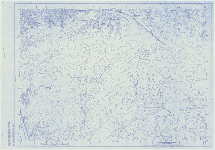
Amistad International Reservoir on Rio Grande 100
1950

Amistad International Reservoir on Rio Grande 101
1950
Amistad International Reservoir on Rio Grande 102
1950
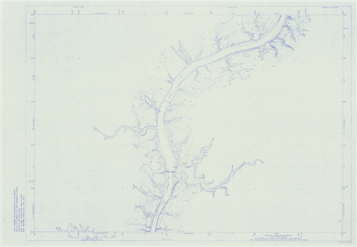
Amistad International Reservoir on Rio Grande 103
1950
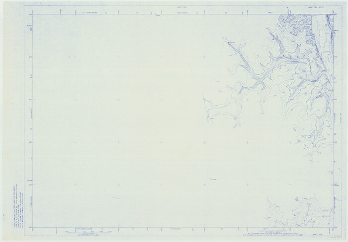
Amistad International Reservoir on Rio Grande 104
1950

Amistad International Reservoir on Rio Grande 105
1950

Amistad International Reservoir on Rio Grande 106
1950
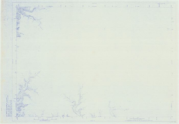
Amistad International Reservoir on Rio Grande 107
1950

Amistad International Reservoir on Rio Grande 108
1950
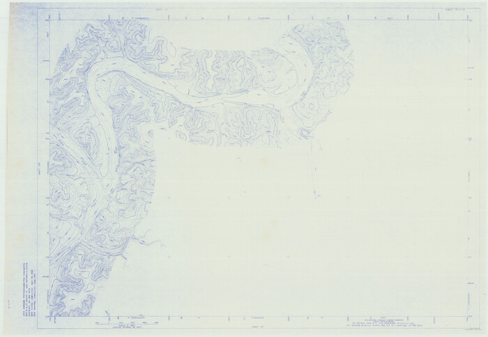
Amistad International Reservoir on Rio Grande 109
1950
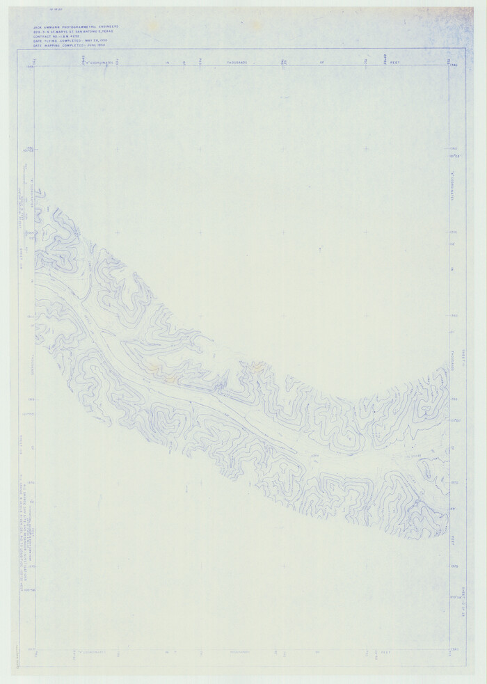
Amistad International Reservoir on Rio Grande 110
1950
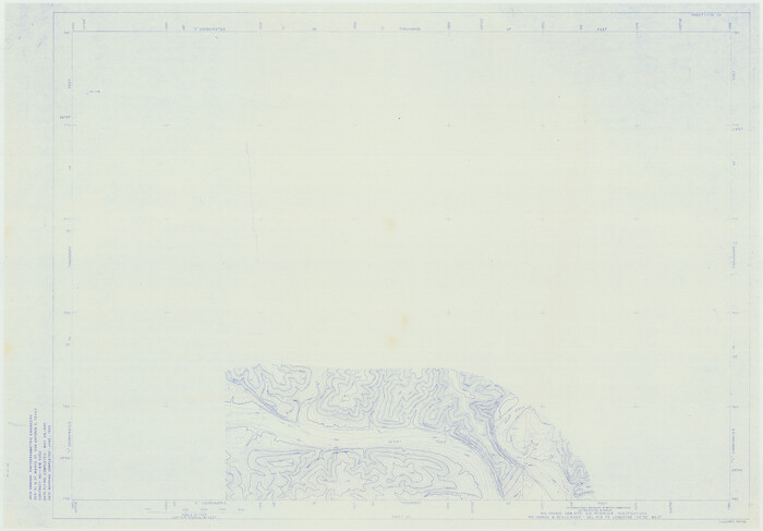
Amistad International Reservoir on Rio Grande 111
1950
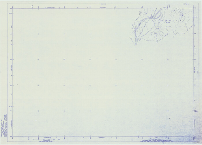
Amistad International Reservoir on Rio Grande 61
1949
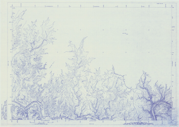
Amistad International Reservoir on Rio Grande 62
1949
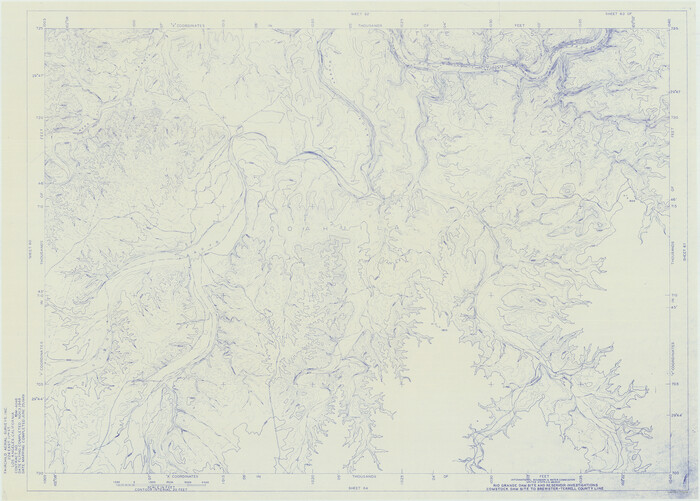
Amistad International Reservoir on Rio Grande 63
1949
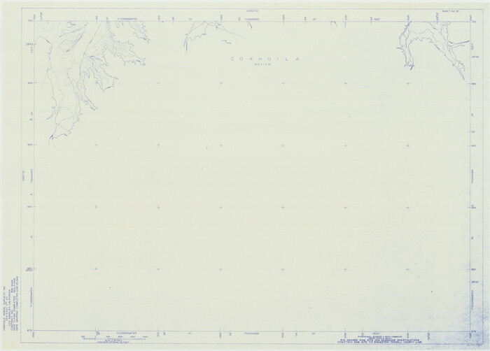
Amistad International Reservoir on Rio Grande 64
1949
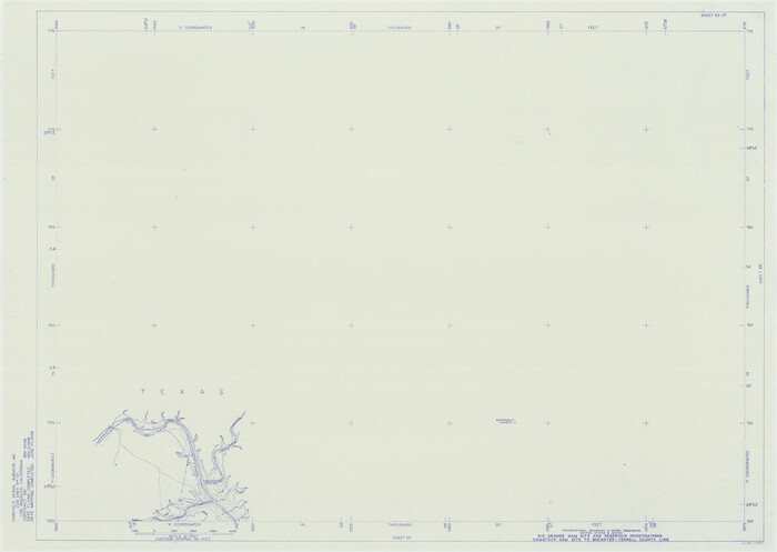
Amistad International Reservoir on Rio Grande 65
1949

Amistad International Reservoir on Rio Grande 66
1949
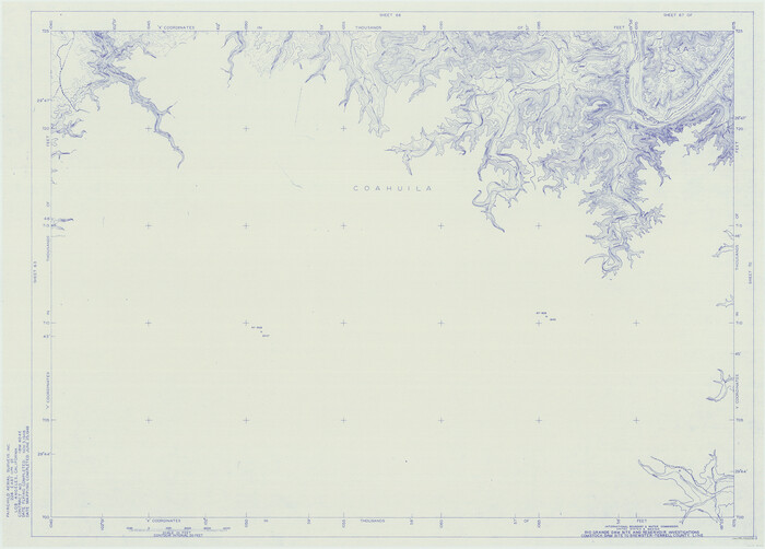
Amistad International Reservoir on Rio Grande 67
1949
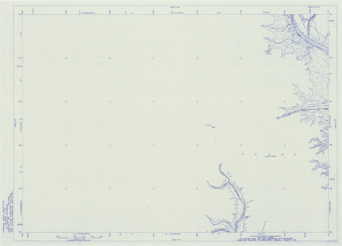
Amistad International Reservoir on Rio Grande 68
1949

Amistad International Reservoir on Rio Grande 68a
1949
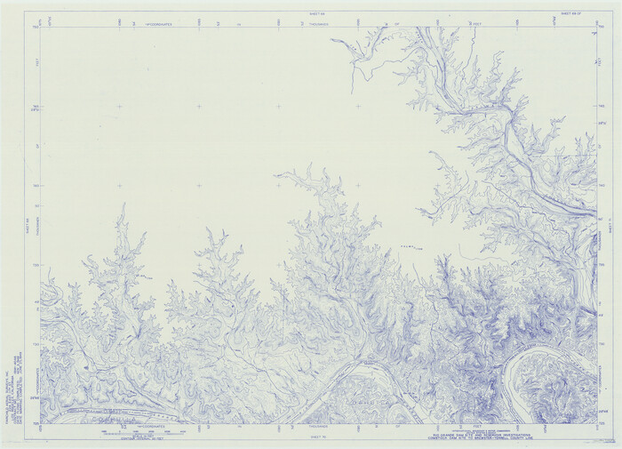
Amistad International Reservoir on Rio Grande 69
1949

Amistad International Reservoir on Rio Grande 70
1949

Amistad International Reservoir on Rio Grande 70a
1949
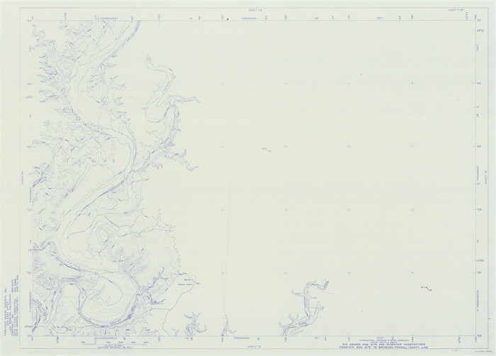
Amistad International Reservoir on Rio Grande 71
1949

Amistad International Reservoir on Rio Grande 71a
1949
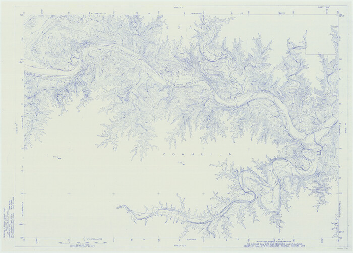
Amistad International Reservoir on Rio Grande 72
1949

Amistad International Reservoir on Rio Grande 72a
1949

A Boundary Atlas of Texas, 1821-1845
2020
Jim Tiller’s "A Boundary Atlas of Texas, 1821-1845" is available exclusively as a digital download...
-
Map/Doc
96437
-
Creation Date
2020

A2 - Part of the Boundary between the United States and Texas from Sabine River Northward to the 36th mile mound
-
Size
28.5 x 22.0 inches
-
Map/Doc
94003

Amistad International Reservoir on Rio Grande 100
1950
-
Size
28.5 x 40.8 inches
-
Map/Doc
75531
-
Creation Date
1950

Amistad International Reservoir on Rio Grande 101
1950
-
Size
28.5 x 40.9 inches
-
Map/Doc
75532
-
Creation Date
1950

Amistad International Reservoir on Rio Grande 102
1950
-
Size
28.5 x 41.2 inches
-
Map/Doc
75533
-
Creation Date
1950

Amistad International Reservoir on Rio Grande 103
1950
-
Size
28.5 x 41.1 inches
-
Map/Doc
75534
-
Creation Date
1950

Amistad International Reservoir on Rio Grande 104
1950
-
Size
28.5 x 40.9 inches
-
Map/Doc
75535
-
Creation Date
1950

Amistad International Reservoir on Rio Grande 105
1950
-
Size
28.5 x 40.8 inches
-
Map/Doc
75536
-
Creation Date
1950

Amistad International Reservoir on Rio Grande 106
1950
-
Size
28.5 x 41.0 inches
-
Map/Doc
75537
-
Creation Date
1950

Amistad International Reservoir on Rio Grande 107
1950
-
Size
28.4 x 40.9 inches
-
Map/Doc
75538
-
Creation Date
1950

Amistad International Reservoir on Rio Grande 108
1950
-
Size
28.5 x 40.9 inches
-
Map/Doc
75539
-
Creation Date
1950

Amistad International Reservoir on Rio Grande 109
1950
-
Size
28.6 x 41.3 inches
-
Map/Doc
75540
-
Creation Date
1950

Amistad International Reservoir on Rio Grande 110
1950
-
Size
41.4 x 29.5 inches
-
Map/Doc
75541
-
Creation Date
1950

Amistad International Reservoir on Rio Grande 111
1950
-
Size
28.5 x 41.0 inches
-
Map/Doc
75542
-
Creation Date
1950

Amistad International Reservoir on Rio Grande 61
1949
-
Size
28.4 x 39.4 inches
-
Map/Doc
73346
-
Creation Date
1949

Amistad International Reservoir on Rio Grande 62
1949
-
Size
28.2 x 39.6 inches
-
Map/Doc
73347
-
Creation Date
1949

Amistad International Reservoir on Rio Grande 63
1949
-
Size
28.2 x 39.5 inches
-
Map/Doc
73348
-
Creation Date
1949

Amistad International Reservoir on Rio Grande 64
1949
-
Size
28.4 x 39.6 inches
-
Map/Doc
73349
-
Creation Date
1949

Amistad International Reservoir on Rio Grande 65
1949
-
Size
28.2 x 39.8 inches
-
Map/Doc
73350
-
Creation Date
1949

Amistad International Reservoir on Rio Grande 66
1949
-
Size
28.5 x 39.6 inches
-
Map/Doc
73351
-
Creation Date
1949

Amistad International Reservoir on Rio Grande 67
1949
-
Size
28.3 x 39.5 inches
-
Map/Doc
73352
-
Creation Date
1949

Amistad International Reservoir on Rio Grande 68
1949
-
Size
28.4 x 39.4 inches
-
Map/Doc
73353
-
Creation Date
1949

Amistad International Reservoir on Rio Grande 68a
1949
-
Size
28.4 x 39.6 inches
-
Map/Doc
73354
-
Creation Date
1949

Amistad International Reservoir on Rio Grande 69
1949
-
Size
28.4 x 39.4 inches
-
Map/Doc
73355
-
Creation Date
1949

Amistad International Reservoir on Rio Grande 70
1949
-
Size
28.4 x 39.7 inches
-
Map/Doc
73356
-
Creation Date
1949

Amistad International Reservoir on Rio Grande 70a
1949
-
Size
28.5 x 39.5 inches
-
Map/Doc
73357
-
Creation Date
1949

Amistad International Reservoir on Rio Grande 71
1949
-
Size
28.3 x 39.5 inches
-
Map/Doc
73358
-
Creation Date
1949

Amistad International Reservoir on Rio Grande 71a
1949
-
Size
28.4 x 39.6 inches
-
Map/Doc
73359
-
Creation Date
1949

Amistad International Reservoir on Rio Grande 72
1949
-
Size
28.4 x 39.6 inches
-
Map/Doc
73360
-
Creation Date
1949

Amistad International Reservoir on Rio Grande 72a
1949
-
Size
28.3 x 39.6 inches
-
Map/Doc
73361
-
Creation Date
1949