de Leon Empresario Colony. Absorbed by DeWitt Colony. April 15, 1825
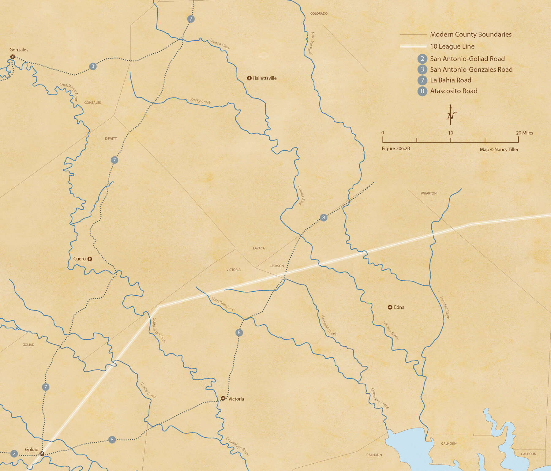
Figure No. 306.2 from 'A Boundary Atlas of Texas, 1821-1845' by Jim Tiller
-
Map/Doc
95989
-
Collection
Nancy and Jim Tiller Digital Collection
-
Object Dates
2020/1/1 (Creation Date)
-
People and Organizations
Jim Tiller (Author)
Nancy Tiller (Cartographer)
Gang Gong (GIS Professional)
-
Subjects
Atlas Colony Mexican Texas Texas Boundaries
-
Height x Width
18.5 x 21.7 inches
47.0 x 55.1 cm
-
Medium
digital image
-
Comments
To purchase a digital PDF copy of "A Boundary Atlas of Texas, 1821-1845" see 96437.
Part of: Nancy and Jim Tiller Digital Collection
The Chief Justice County of Sabine. Undated

Print $20.00
The Chief Justice County of Sabine. Undated
2020
Size 20.0 x 21.7 inches
Map/Doc 96068
The Republic County of Colorado. 1840

Print $20.00
The Republic County of Colorado. 1840
2020
Size 18.4 x 21.7 inches
Map/Doc 96122
The Republic County of Harrison. Spring 1842

Print $20.00
The Republic County of Harrison. Spring 1842
2020
Size 18.6 x 21.7 inches
Map/Doc 96173
The Chief Justice County of Liberty. April 25, 1837

Print $20.00
The Chief Justice County of Liberty. April 25, 1837
2020
Size 20.5 x 21.7 inches
Map/Doc 96055
The Mexican Municipality of Mina. January 11, 1836

Print $20.00
The Mexican Municipality of Mina. January 11, 1836
2020
Size 10.7 x 21.7 inches
Map/Doc 96030

The Republic County of Fannin. December 29, 1845

Print $20.00
The Republic County of Fannin. December 29, 1845
2020
Size 12.9 x 21.7 inches
Map/Doc 96130
Edwards Empresario Colony. April 15, 1825

Print $20.00
Edwards Empresario Colony. April 15, 1825
2020
Size 18.1 x 21.6 inches
Map/Doc 95993
The Republic County of Jackson. 1840

Print $20.00
The Republic County of Jackson. 1840
2020
Size 15.6 x 21.8 inches
Map/Doc 96186
The Republic County of Goliad. December 29, 1845

Print $20.00
The Republic County of Goliad. December 29, 1845
2020
Size 17.5 x 21.7 inches
Map/Doc 96152
The Republic County of Jasper. January 29, 1842

Print $20.00
The Republic County of Jasper. January 29, 1842
2020
Size 19.5 x 21.7 inches
Map/Doc 96194
Republic Counties. January 1, 1843

Print $20.00
Republic Counties. January 1, 1843
2020
Size 24.5 x 21.7 inches
Map/Doc 96316
You may also like
Current Miscellaneous File 110

Print $62.00
- Digital $50.00
Current Miscellaneous File 110
1972
Size 11.1 x 8.8 inches
Map/Doc 74713
Southern Part of Laguna Madre

Print $20.00
- Digital $50.00
Southern Part of Laguna Madre
1987
Size 44.5 x 34.7 inches
Map/Doc 73548
Chambers County Sketch File 35

Print $14.00
- Digital $50.00
Chambers County Sketch File 35
Size 7.1 x 7.6 inches
Map/Doc 17625
Brooks County Working Sketch 19

Print $20.00
- Digital $50.00
Brooks County Working Sketch 19
1983
Size 31.7 x 18.4 inches
Map/Doc 67803
Flight Mission No. BRE-3P, Frame 35, Nueces County

Print $20.00
- Digital $50.00
Flight Mission No. BRE-3P, Frame 35, Nueces County
1956
Size 18.5 x 21.1 inches
Map/Doc 86813
Howard County Rolled Sketch 4

Print $20.00
- Digital $50.00
Howard County Rolled Sketch 4
1909
Size 35.6 x 27.4 inches
Map/Doc 6233
Packery Channel

Print $20.00
- Digital $50.00
Packery Channel
1958
Size 29.5 x 37.5 inches
Map/Doc 2992
Presidio County Sketch File 88

Print $6.00
- Digital $50.00
Presidio County Sketch File 88
Size 14.5 x 8.8 inches
Map/Doc 34751
McLennan County Sketch File 35

Print $10.00
- Digital $50.00
McLennan County Sketch File 35
Size 13.1 x 8.1 inches
Map/Doc 31310
El Nuevo Mexico y Tierras Adyacentes Mapa Levantado para la demarcacion de los Limites de los Dominios Españoles y de los Estados Unidos por el P.D. Jose Pichardo quien lo dedica al Exmo. Sor. D. Fracisco Xavier Venegas Virrey de esta N.E. &. Año de 1811

Print $40.00
El Nuevo Mexico y Tierras Adyacentes Mapa Levantado para la demarcacion de los Limites de los Dominios Españoles y de los Estados Unidos por el P.D. Jose Pichardo quien lo dedica al Exmo. Sor. D. Fracisco Xavier Venegas Virrey de esta N.E. &. Año de 1811
1811
Size 35.8 x 49.6 inches
Map/Doc 95360

Die Eisenbahm von dem Missisippi nach dem stillen Ocean (Californien)

Print $20.00
- Digital $50.00
Die Eisenbahm von dem Missisippi nach dem stillen Ocean (Californien)
1856
Size 14.0 x 14.8 inches
Map/Doc 94075