
Lebanon Quadrangle
1999

Dexter Quadrangle
1999

Gordonville Quadrangle
1999

Pottsboro Quadrangle
1999

Kingston South Quadrangle
1999

Platter Quadrangle
1999

Denison Dam Quadrangle
1999

Current Miscellaneous File 114
1985

Galveston Harbor and Channel, Texas Rehabilitation of South Jetty, Comparison of Shorelines and Offshore Contours 1890 to 1960
1961

Amistad International Reservoir on Rio Grande Key Sheet
1960

Tarrant County Rolled Sketch 2
1955
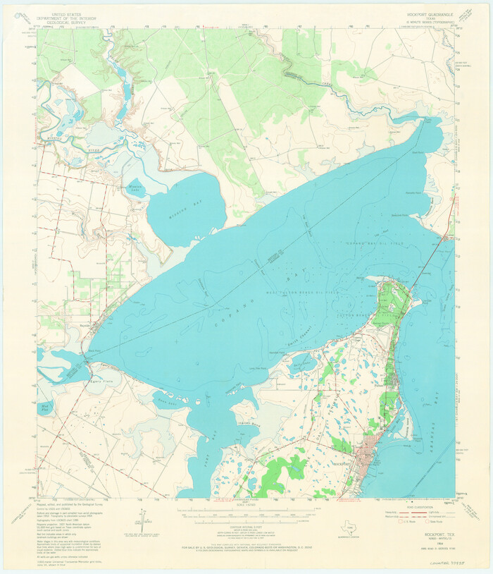
Rockport Quadrangle
1954
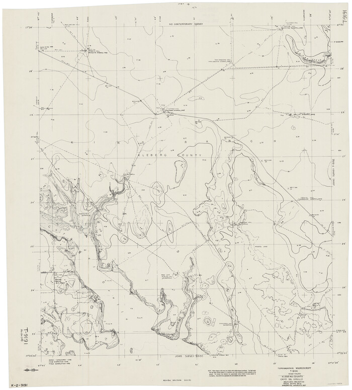
Kleberg County, Cayo del Grullo
1952
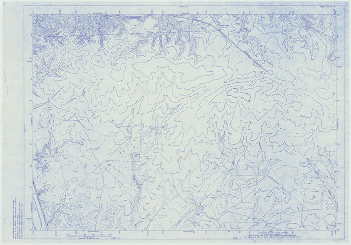
Amistad International Reservoir on Rio Grande 100
1950
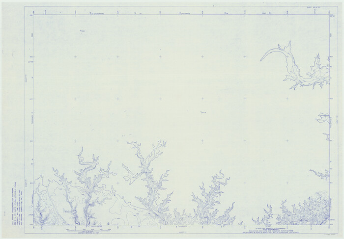
Amistad International Reservoir on Rio Grande 96
1950

Amistad International Reservoir on Rio Grande 101
1950

Amistad International Reservoir on Rio Grande 105
1950
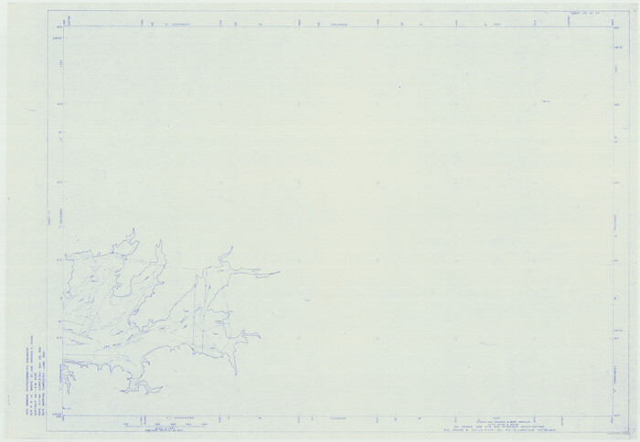
Amistad International Reservoir on Rio Grande 102
1950
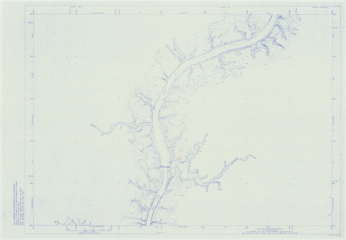
Amistad International Reservoir on Rio Grande 103
1950
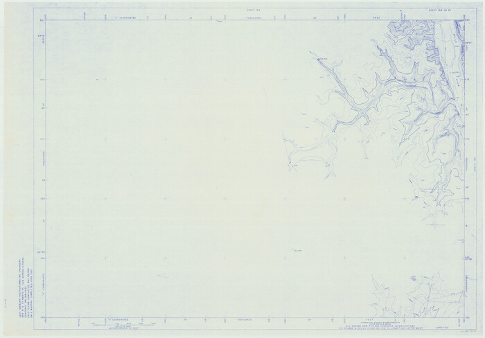
Amistad International Reservoir on Rio Grande 104
1950

Amistad International Reservoir on Rio Grande 106
1950
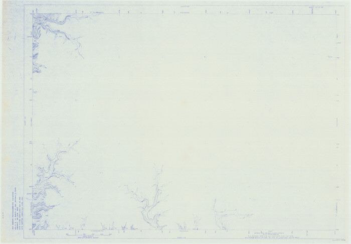
Amistad International Reservoir on Rio Grande 107
1950

Amistad International Reservoir on Rio Grande 108
1950
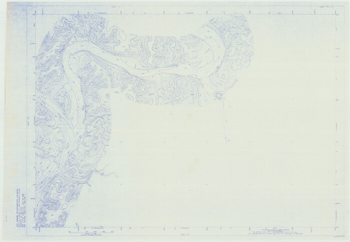
Amistad International Reservoir on Rio Grande 109
1950
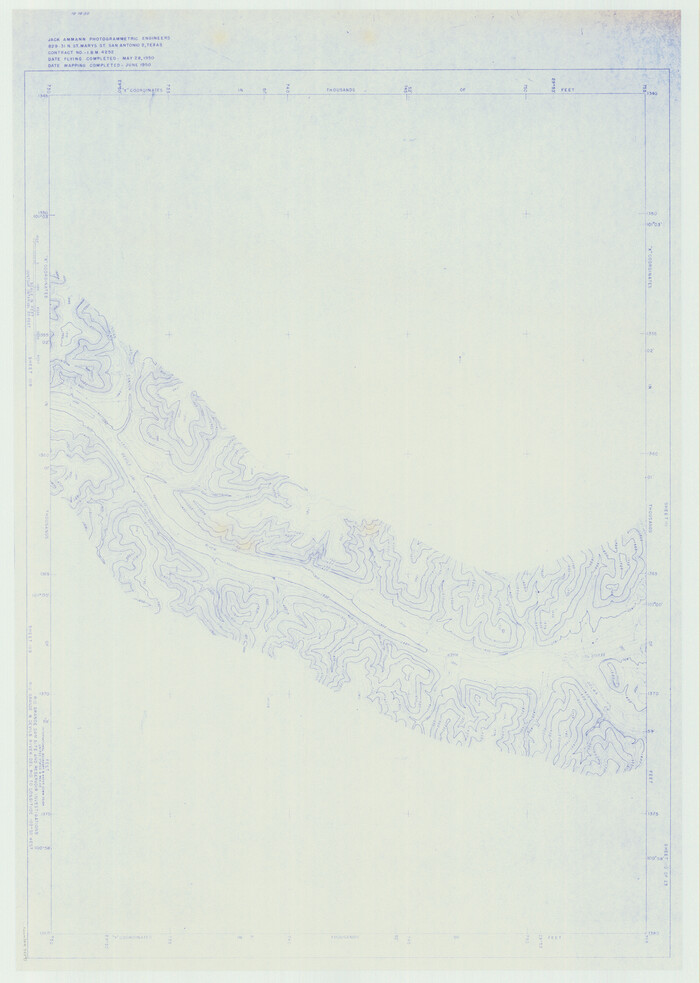
Amistad International Reservoir on Rio Grande 110
1950
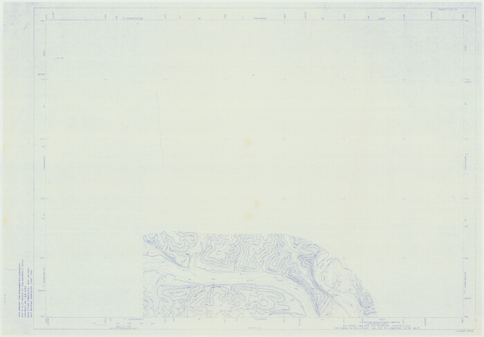
Amistad International Reservoir on Rio Grande 111
1950

Trinity River, Map of J. B. Bradley's Levee in Valley of Cummins Creek about 2 1/2 Miles South of Rice Showing Proposed Change of Location
1950
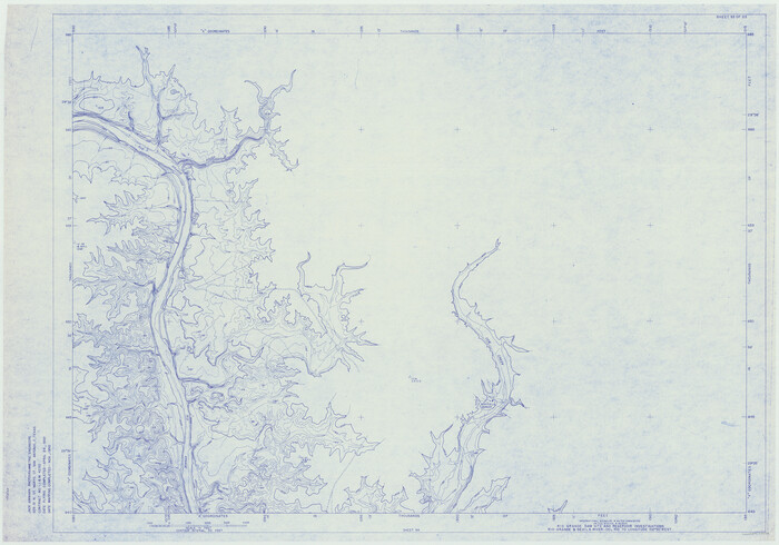
Amistad International Reservoir on Rio Grande 93
1950

Lebanon Quadrangle
1999
USGS Topo Sheet showing plotted Texoma Area Boundary
-
Size
35.4 x 23.4 inches
-
Map/Doc
97360
-
Creation Date
1999

Dexter Quadrangle
1999
USGS Topo Sheet showing plotted Texoma Area Boundary
-
Size
35.4 x 23.4 inches
-
Map/Doc
97361
-
Creation Date
1999

Gordonville Quadrangle
1999
USGS Topo Sheet showing plotted Texoma Area Boundary
-
Size
35.4 x 23.4 inches
-
Map/Doc
97362
-
Creation Date
1999

Pottsboro Quadrangle
1999
USGS Topo Sheet showing plotted Texoma Area Boundary
-
Size
35.4 x 23.4 inches
-
Map/Doc
97363
-
Creation Date
1999

Kingston South Quadrangle
1999
USGS Topo Sheet showing plotted Texoma Area Boundary
-
Size
35.4 x 23.4 inches
-
Map/Doc
97364
-
Creation Date
1999

Platter Quadrangle
1999
USGS Topo Sheet showing plotted Texoma Area Boundary
-
Size
35.4 x 23.4 inches
-
Map/Doc
97365
-
Creation Date
1999

Denison Dam Quadrangle
1999
USGS Topo Sheet showing plotted Texoma Area Boundary
-
Size
35.4 x 23.4 inches
-
Map/Doc
97366
-
Creation Date
1999

Current Miscellaneous File 114
1985
-
Size
8.9 x 11.3 inches
-
Map/Doc
74803
-
Creation Date
1985

Estes Quadrangle
1971
-
Size
27.8 x 23.6 inches
-
Map/Doc
73442
-
Creation Date
1971

Galveston Harbor and Channel, Texas Rehabilitation of South Jetty, Comparison of Shorelines and Offshore Contours 1890 to 1960
1961
-
Size
31.6 x 41.8 inches
-
Map/Doc
61827
-
Creation Date
1961

Amistad International Reservoir on Rio Grande Key Sheet
1960
-
Size
13.0 x 32.4 inches
-
Map/Doc
73345
-
Creation Date
1960

Anton Quadrangle
1957
-
Size
18.1 x 22.1 inches
-
Map/Doc
92814
-
Creation Date
1957

Tarrant County Rolled Sketch 2
1955
-
Size
96.5 x 23.5 inches
-
Map/Doc
9984
-
Creation Date
1955

Rockport Quadrangle
1954
-
Size
21.3 x 18.3 inches
-
Map/Doc
73435
-
Creation Date
1954

Kleberg County, Cayo del Grullo
1952
-
Size
32.6 x 29.0 inches
-
Map/Doc
73506
-
Creation Date
1952

Amistad International Reservoir on Rio Grande 100
1950
-
Size
28.5 x 40.8 inches
-
Map/Doc
75531
-
Creation Date
1950

Amistad International Reservoir on Rio Grande 96
1950
-
Size
28.5 x 41.0 inches
-
Map/Doc
75527
-
Creation Date
1950

Amistad International Reservoir on Rio Grande 101
1950
-
Size
28.5 x 40.9 inches
-
Map/Doc
75532
-
Creation Date
1950

Amistad International Reservoir on Rio Grande 105
1950
-
Size
28.5 x 40.8 inches
-
Map/Doc
75536
-
Creation Date
1950

Amistad International Reservoir on Rio Grande 102
1950
-
Size
28.5 x 41.2 inches
-
Map/Doc
75533
-
Creation Date
1950

Amistad International Reservoir on Rio Grande 103
1950
-
Size
28.5 x 41.1 inches
-
Map/Doc
75534
-
Creation Date
1950

Amistad International Reservoir on Rio Grande 104
1950
-
Size
28.5 x 40.9 inches
-
Map/Doc
75535
-
Creation Date
1950

Amistad International Reservoir on Rio Grande 106
1950
-
Size
28.5 x 41.0 inches
-
Map/Doc
75537
-
Creation Date
1950

Amistad International Reservoir on Rio Grande 107
1950
-
Size
28.4 x 40.9 inches
-
Map/Doc
75538
-
Creation Date
1950

Amistad International Reservoir on Rio Grande 108
1950
-
Size
28.5 x 40.9 inches
-
Map/Doc
75539
-
Creation Date
1950

Amistad International Reservoir on Rio Grande 109
1950
-
Size
28.6 x 41.3 inches
-
Map/Doc
75540
-
Creation Date
1950

Amistad International Reservoir on Rio Grande 110
1950
-
Size
41.4 x 29.5 inches
-
Map/Doc
75541
-
Creation Date
1950

Amistad International Reservoir on Rio Grande 111
1950
-
Size
28.5 x 41.0 inches
-
Map/Doc
75542
-
Creation Date
1950

Trinity River, Map of J. B. Bradley's Levee in Valley of Cummins Creek about 2 1/2 Miles South of Rice Showing Proposed Change of Location
1950
-
Size
13.9 x 16.1 inches
-
Map/Doc
65246
-
Creation Date
1950

Amistad International Reservoir on Rio Grande 93
1950
-
Size
28.5 x 40.7 inches
-
Map/Doc
75523
-
Creation Date
1950