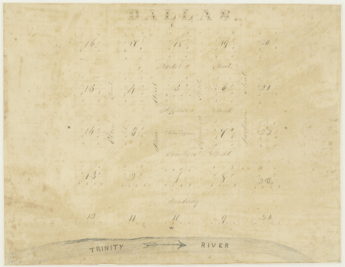
General Highway Map. Detail of Cities and Towns in Travis County, Texas [Austin]
-
Map/Doc
79262
-
Collection
Texas State Library and Archives
-
Object Dates
1940 (Creation Date)
-
People and Organizations
Texas State Highway Department (Publisher)
-
Counties
Travis
-
Subjects
City County
-
Height x Width
18.2 x 25.0 inches
46.2 x 63.5 cm
-
Comments
Prints available courtesy of the Texas State Library and Archives.
More info can be found here: TSLAC Map 05009
Part of: Texas State Library and Archives
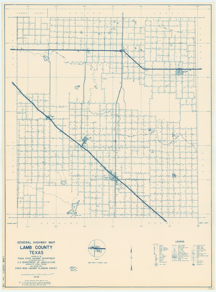
General Highway Map, Lamb County, Texas

Print $20.00
General Highway Map, Lamb County, Texas
1940
Size 24.7 x 18.3 inches
Map/Doc 79168
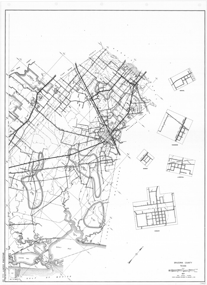
General Highway Map, Brazoria County, Texas

Print $20.00
General Highway Map, Brazoria County, Texas
1961
Size 24.9 x 18.1 inches
Map/Doc 79383
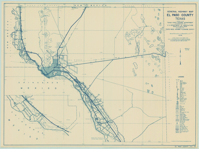
General Highway Map, El Paso County, Texas

Print $20.00
General Highway Map, El Paso County, Texas
1940
Size 18.4 x 24.7 inches
Map/Doc 79084
General Highway Map, Jasper County, Newton County, Texas


Print $20.00
General Highway Map, Jasper County, Newton County, Texas
1940
Size 18.6 x 25.2 inches
Map/Doc 79142
General Highway Map. Detail of Cities and Towns in Austin County, Texas [Sealy and Bellville, etc.]
![79358, General Highway Map. Detail of Cities and Towns in Austin County, Texas [Sealy and Bellville, etc.], Texas State Library and Archives](https://historictexasmaps.com/wmedia_w700/maps/79358.tif.jpg)
![79358, General Highway Map. Detail of Cities and Towns in Austin County, Texas [Sealy and Bellville, etc.], Texas State Library and Archives](https://historictexasmaps.com/wmedia_w700/maps/79358.tif.jpg)
Print $20.00
General Highway Map. Detail of Cities and Towns in Austin County, Texas [Sealy and Bellville, etc.]
1961
Size 18.2 x 25.0 inches
Map/Doc 79358
General Highway Map, Fisher County, Texas


Print $20.00
General Highway Map, Fisher County, Texas
1961
Size 18.1 x 24.7 inches
Map/Doc 79466
Rand McNally Standard Map of Texas (reverse)


Print $20.00
Rand McNally Standard Map of Texas (reverse)
1923
Size 39.8 x 27.2 inches
Map/Doc 76229
That Part of Disturnell's Treaty Map in the Vicinity of the Rio Grande and Southern Boundary of New Mexico


Print $20.00
That Part of Disturnell's Treaty Map in the Vicinity of the Rio Grande and Southern Boundary of New Mexico
1851
Size 10.7 x 12.9 inches
Map/Doc 76285
General Highway Map, Hemphill County, Texas


Print $20.00
General Highway Map, Hemphill County, Texas
1961
Size 18.3 x 24.6 inches
Map/Doc 79515
General Highway Map, Polk County, Texas


Print $20.00
General Highway Map, Polk County, Texas
1961
Size 18.1 x 24.5 inches
Map/Doc 79630
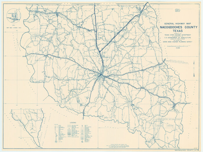
General Highway Map, Nacogdoches County, Texas

Print $20.00
General Highway Map, Nacogdoches County, Texas
1940
Size 18.5 x 24.7 inches
Map/Doc 79205
You may also like
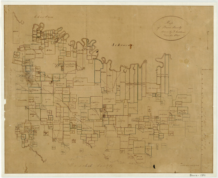
Map of Bowie County

Print $20.00
- Digital $50.00
Map of Bowie County
1841
Size 17.8 x 21.8 inches
Map/Doc 3316
Map of Panama, Texas


Print $5.00
- Digital $50.00
Map of Panama, Texas
1908
Size 10.4 x 15.6 inches
Map/Doc 94104
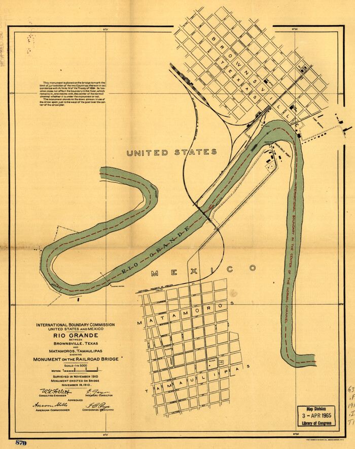
Boundaries between Brownsville, Texas and Matamoros, Tam. (Mexico)

Print $20.00
Boundaries between Brownsville, Texas and Matamoros, Tam. (Mexico)
1910
Size 15.0 x 11.8 inches
Map/Doc 93559
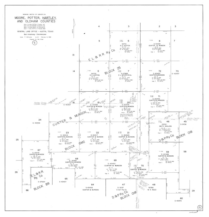
Hartley County Working Sketch 8

Print $6.00
- Digital $50.00
Hartley County Working Sketch 8
1982
Size 34.0 x 32.6 inches
Map/Doc 66058
[Lubbock County Sketch, Blocks O, A, B, and S]
![91376, [Lubbock County Sketch, Blocks O, A, B, and S], Twichell Survey Records](https://historictexasmaps.com/wmedia_w700/maps/91376-1.tif.jpg)
![91376, [Lubbock County Sketch, Blocks O, A, B, and S], Twichell Survey Records](https://historictexasmaps.com/wmedia_w700/maps/91376-1.tif.jpg)
Print $20.00
- Digital $50.00
[Lubbock County Sketch, Blocks O, A, B, and S]
Size 20.7 x 14.2 inches
Map/Doc 91376
A new and accurate map of North America (wherein the errors of all preceeding British, French and Dutch maps, respecting the rights of Great Britain, France & Spain, & the limits of each of His Majesty's provinces, are corrected)
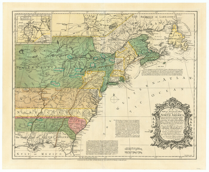

Print $20.00
- Digital $50.00
A new and accurate map of North America (wherein the errors of all preceeding British, French and Dutch maps, respecting the rights of Great Britain, France & Spain, & the limits of each of His Majesty's provinces, are corrected)
1755
Size 18.3 x 22.1 inches
Map/Doc 97416
Jack County Sketch File 5a
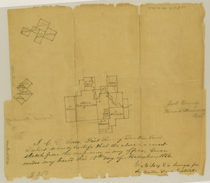

Print $6.00
- Digital $50.00
Jack County Sketch File 5a
1856
Size 8.6 x 9.8 inches
Map/Doc 27510
The Chief Justice County of Bexar. May 1, 1837
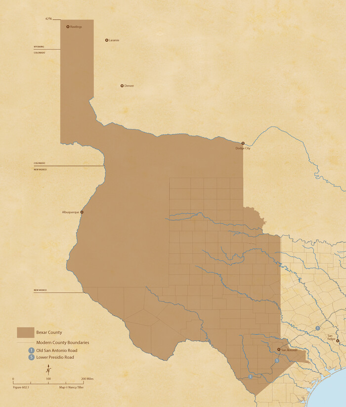

Print $20.00
The Chief Justice County of Bexar. May 1, 1837
2020
Size 25.4 x 21.6 inches
Map/Doc 96038
Boundary Between the United States & Mexico Agreed Upon by the Joint Commission under the Treaty of Guadalupe Hidalgo


Print $20.00
- Digital $50.00
Boundary Between the United States & Mexico Agreed Upon by the Joint Commission under the Treaty of Guadalupe Hidalgo
1853
Size 24.0 x 18.3 inches
Map/Doc 65396
Correct Map of Texas


Print $20.00
- Digital $50.00
Correct Map of Texas
1873
Size 21.5 x 16.9 inches
Map/Doc 95775
Culberson County Working Sketch 43


Print $40.00
- Digital $50.00
Culberson County Working Sketch 43
1970
Size 52.4 x 38.0 inches
Map/Doc 68497
[Part of Block K11, Leagues 346, 357 1/2, 367]
![90530, [Part of Block K11, Leagues 346, 357 1/2, 367], Twichell Survey Records](https://historictexasmaps.com/wmedia_w700/maps/90530-1.tif.jpg)
![90530, [Part of Block K11, Leagues 346, 357 1/2, 367], Twichell Survey Records](https://historictexasmaps.com/wmedia_w700/maps/90530-1.tif.jpg)
Print $2.00
- Digital $50.00
[Part of Block K11, Leagues 346, 357 1/2, 367]
Size 7.3 x 11.6 inches
Map/Doc 90530
![79262, General Highway Map. Detail of Cities and Towns in Travis County, Texas [Austin], Texas State Library and Archives](https://historictexasmaps.com/wmedia_w1800h1800/maps/79262-1.tif.jpg)
