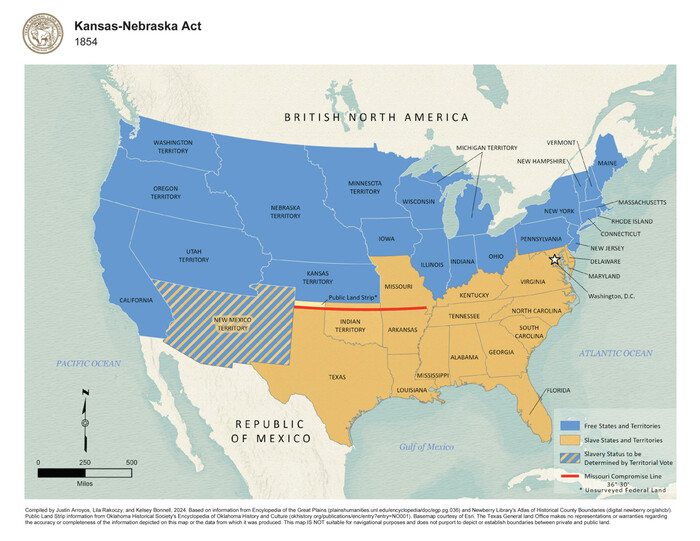
Contracted Boundaries and Timeline of Mexican Empresario Colonies in Texas
1821 – 1833
-
Map/Doc
97439
-
Collection
GIS Educational Maps
-
Object Dates
2025 (Creation Date)
-
People and Organizations
Weatherly Sawyer (Compiler)
Patrick Walsh (Compiler)
Kelsey Bonnell (Compiler)
Carlos Varela (Compiler)
Brian A. Stauffer (Compiler)
-
Subjects
Mexican Texas Colony Geographic Information System
-
Height x Width
17.0 x 11.0 inches
43.2 x 27.9 cm
-
Medium
pdf
Part of: GIS Educational Maps
Northern Mexico Campaign of the U.S. - Mexico War


Northern Mexico Campaign of the U.S. - Mexico War
2023
Size 8.5 x 11.0 inches
Map/Doc 97152
Events of the Texas Revolution


Events of the Texas Revolution
2023
Size 11.0 x 17.0 inches
Map/Doc 97194
"Old Three Hundred" Land Grants under Austin's First Contract


"Old Three Hundred" Land Grants under Austin's First Contract
2023
Size 8.5 x 11.0 inches
Map/Doc 97185
United States Population Distribution by County and Territory, per the U.S. Census of 1890


United States Population Distribution by County and Territory, per the U.S. Census of 1890
2025
Size 8.5 x 11.0 inches
Map/Doc 97480
United States Population Distribution by County and Territory, per the U.S. Census of 1900


United States Population Distribution by County and Territory, per the U.S. Census of 1900
2025
Size 8.5 x 11.0 inches
Map/Doc 97481
Disputed Territory Between Mexico and the United States


Disputed Territory Between Mexico and the United States
2024
Size 10.7 x 7.9 inches
Map/Doc 97251
Yellow Fever Deaths in the United States


Yellow Fever Deaths in the United States
2022
Size 8.5 x 11.0 inches
Map/Doc 97093
You may also like
Val Verde County Sketch File Z13

Print $4.00
- Digital $50.00
Val Verde County Sketch File Z13
1898
Size 11.5 x 8.6 inches
Map/Doc 39142
Flight Mission No. BRA-7M, Frame 73, Jefferson County

Print $20.00
- Digital $50.00
Flight Mission No. BRA-7M, Frame 73, Jefferson County
1953
Size 18.7 x 22.4 inches
Map/Doc 85495
Comanche County Sketch File 18


Print $4.00
- Digital $50.00
Comanche County Sketch File 18
Size 8.4 x 7.8 inches
Map/Doc 19091
Yoakum County Rolled Sketch 1


Print $20.00
- Digital $50.00
Yoakum County Rolled Sketch 1
1939
Size 40.5 x 37.5 inches
Map/Doc 10162
Cass County Rolled Sketch OPD


Print $20.00
- Digital $50.00
Cass County Rolled Sketch OPD
1936
Size 29.4 x 25.1 inches
Map/Doc 5483
Concho, San Saba & Llano Valley Railway, Sterling City Branch, Texas. Right of Way and Track Map


Print $40.00
- Digital $50.00
Concho, San Saba & Llano Valley Railway, Sterling City Branch, Texas. Right of Way and Track Map
1910
Size 17.7 x 57.8 inches
Map/Doc 64437
Matagorda County Working Sketch 5

Print $20.00
- Digital $50.00
Matagorda County Working Sketch 5
1936
Size 18.4 x 26.9 inches
Map/Doc 70863
Flight Mission No. CRC-3R, Frame 47, Chambers County


Print $20.00
- Digital $50.00
Flight Mission No. CRC-3R, Frame 47, Chambers County
1956
Size 18.6 x 22.3 inches
Map/Doc 84820
Leon County Rolled Sketch 17
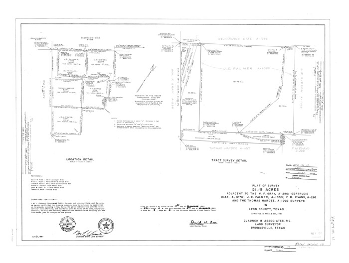

Print $20.00
- Digital $50.00
Leon County Rolled Sketch 17
1981
Size 25.2 x 33.4 inches
Map/Doc 6602
El Paso County Rolled Sketch 52
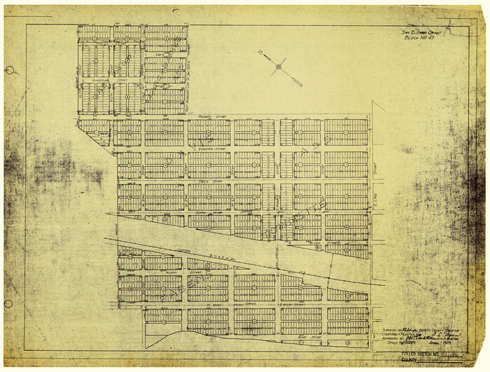

Print $20.00
- Digital $50.00
El Paso County Rolled Sketch 52
1929
Size 18.5 x 24.4 inches
Map/Doc 5848
Right of Way and Track Map, the Missouri, Kansas and Texas Ry. of Texas - Henrietta Division


Print $20.00
- Digital $50.00
Right of Way and Track Map, the Missouri, Kansas and Texas Ry. of Texas - Henrietta Division
1918
Size 11.8 x 26.8 inches
Map/Doc 64750
[Sections 1 & 2, Block S]
![92859, [Sections 1 & 2, Block S], Twichell Survey Records](https://historictexasmaps.com/wmedia_w700/maps/92859-1.tif.jpg)
![92859, [Sections 1 & 2, Block S], Twichell Survey Records](https://historictexasmaps.com/wmedia_w700/maps/92859-1.tif.jpg)
Print $20.00
- Digital $50.00
[Sections 1 & 2, Block S]
Size 27.8 x 15.7 inches
Map/Doc 92859


