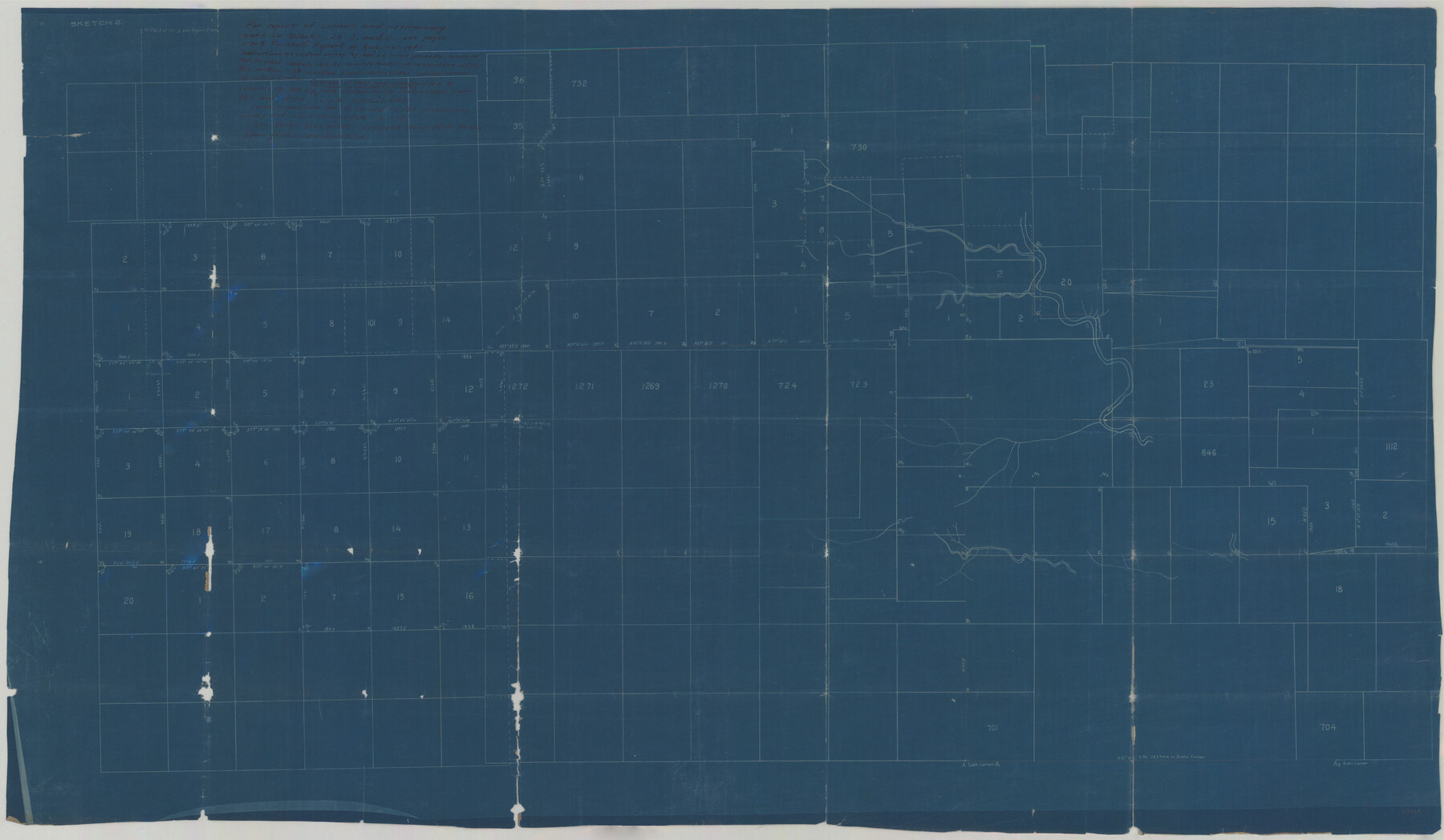
Garza County Sketch File 22
[Sketches of large area spanning multiple counties]
-
Map/Doc
10464
-
Collection
General Map Collection
-
Object Dates
8/25/1905 (File Date)
-
Counties
Garza Crosby Lynn
-
Subjects
Surveying Sketch File
-
Height x Width
51.9 x 24.1 inches
131.8 x 61.2 cm
-
Medium
multi-page, multi-format
Part of: General Map Collection
Pecos County Sketch File 34

Print $4.00
- Digital $50.00
Pecos County Sketch File 34
Size 11.1 x 8.5 inches
Map/Doc 33714
Kimble County Rolled Sketch 26

Print $20.00
- Digital $50.00
Kimble County Rolled Sketch 26
1960
Size 26.4 x 21.6 inches
Map/Doc 6516
Right of Way and Track Map of The Wichita Falls & Southern Railroad Company

Print $40.00
- Digital $50.00
Right of Way and Track Map of The Wichita Falls & Southern Railroad Company
1942
Size 24.6 x 56.1 inches
Map/Doc 64519
Dallam County Sketch File 4

Print $20.00
- Digital $50.00
Dallam County Sketch File 4
Size 27.7 x 8.5 inches
Map/Doc 11279
Castro County

Print $20.00
- Digital $50.00
Castro County
1932
Size 43.4 x 38.6 inches
Map/Doc 73102
Marion County Sketch File 16

Print $20.00
- Digital $50.00
Marion County Sketch File 16
1954
Size 22.9 x 23.2 inches
Map/Doc 12025
[Texas & Pacific Railway through Callahan County]
![64238, [Texas & Pacific Railway through Callahan County], General Map Collection](https://historictexasmaps.com/wmedia_w700/maps/64238.tif.jpg)
Print $20.00
- Digital $50.00
[Texas & Pacific Railway through Callahan County]
1918
Size 22.4 x 9.4 inches
Map/Doc 64238
Kaufman County Working Sketch 6

Print $20.00
- Digital $50.00
Kaufman County Working Sketch 6
1937
Size 22.4 x 27.9 inches
Map/Doc 66669
Presidio County Rolled Sketch 102

Print $20.00
- Digital $50.00
Presidio County Rolled Sketch 102
1957
Size 22.8 x 17.4 inches
Map/Doc 7384
Bandera County

Print $40.00
- Digital $50.00
Bandera County
1947
Size 33.7 x 54.2 inches
Map/Doc 77207
Dépt. des Ardennes

Print $20.00
- Digital $50.00
Dépt. des Ardennes
Size 14.5 x 20.5 inches
Map/Doc 94448
Palo Pinto County Working Sketch 24

Print $20.00
- Digital $50.00
Palo Pinto County Working Sketch 24
1990
Map/Doc 71407
You may also like
English Field Notes of the Spanish Archives - Books GMP, FH, SCH, and JAV

English Field Notes of the Spanish Archives - Books GMP, FH, SCH, and JAV
1835
Map/Doc 96545
Medina County Working Sketch 16

Print $20.00
- Digital $50.00
Medina County Working Sketch 16
1979
Size 27.1 x 28.2 inches
Map/Doc 70931
Flight Mission No. CGI-1N, Frame 137, Cameron County

Print $20.00
- Digital $50.00
Flight Mission No. CGI-1N, Frame 137, Cameron County
1955
Size 15.5 x 18.8 inches
Map/Doc 84493
Brewster County Working Sketch 8

Print $20.00
- Digital $50.00
Brewster County Working Sketch 8
1910
Size 42.3 x 30.3 inches
Map/Doc 67541
[Leagues 7, 8, 9, and 10]
![92220, [Leagues 7, 8, 9, and 10], Twichell Survey Records](https://historictexasmaps.com/wmedia_w700/maps/92220-1.tif.jpg)
Print $20.00
- Digital $50.00
[Leagues 7, 8, 9, and 10]
1943
Size 18.3 x 12.2 inches
Map/Doc 92220
Starr County Rolled Sketch 45

Print $40.00
- Digital $50.00
Starr County Rolled Sketch 45
Size 17.7 x 57.5 inches
Map/Doc 9914
Concho County Sketch File 35

Print $20.00
- Digital $50.00
Concho County Sketch File 35
1937
Size 14.9 x 15.5 inches
Map/Doc 11160
Map of Coryell County

Print $20.00
- Digital $50.00
Map of Coryell County
1874
Size 22.4 x 26.8 inches
Map/Doc 3445
Flight Mission No. BRE-3P, Frame 93, Nueces County

Print $20.00
- Digital $50.00
Flight Mission No. BRE-3P, Frame 93, Nueces County
1956
Size 18.6 x 22.6 inches
Map/Doc 86824
Coleman County Sketch File A1

Print $6.00
- Digital $50.00
Coleman County Sketch File A1
Size 5.4 x 7.7 inches
Map/Doc 18664
United States - Gulf Coast - Padre I. and Laguna Madre Lat. 27° 12' to Lat. 26° 33' Texas

Print $20.00
- Digital $50.00
United States - Gulf Coast - Padre I. and Laguna Madre Lat. 27° 12' to Lat. 26° 33' Texas
1913
Size 27.1 x 18.3 inches
Map/Doc 72818
[Surveys along Trinity River]
![7, [Surveys along Trinity River], General Map Collection](https://historictexasmaps.com/wmedia_w700/maps/7.tif.jpg)
Print $20.00
- Digital $50.00
[Surveys along Trinity River]
1844
Size 21.4 x 12.6 inches
Map/Doc 7