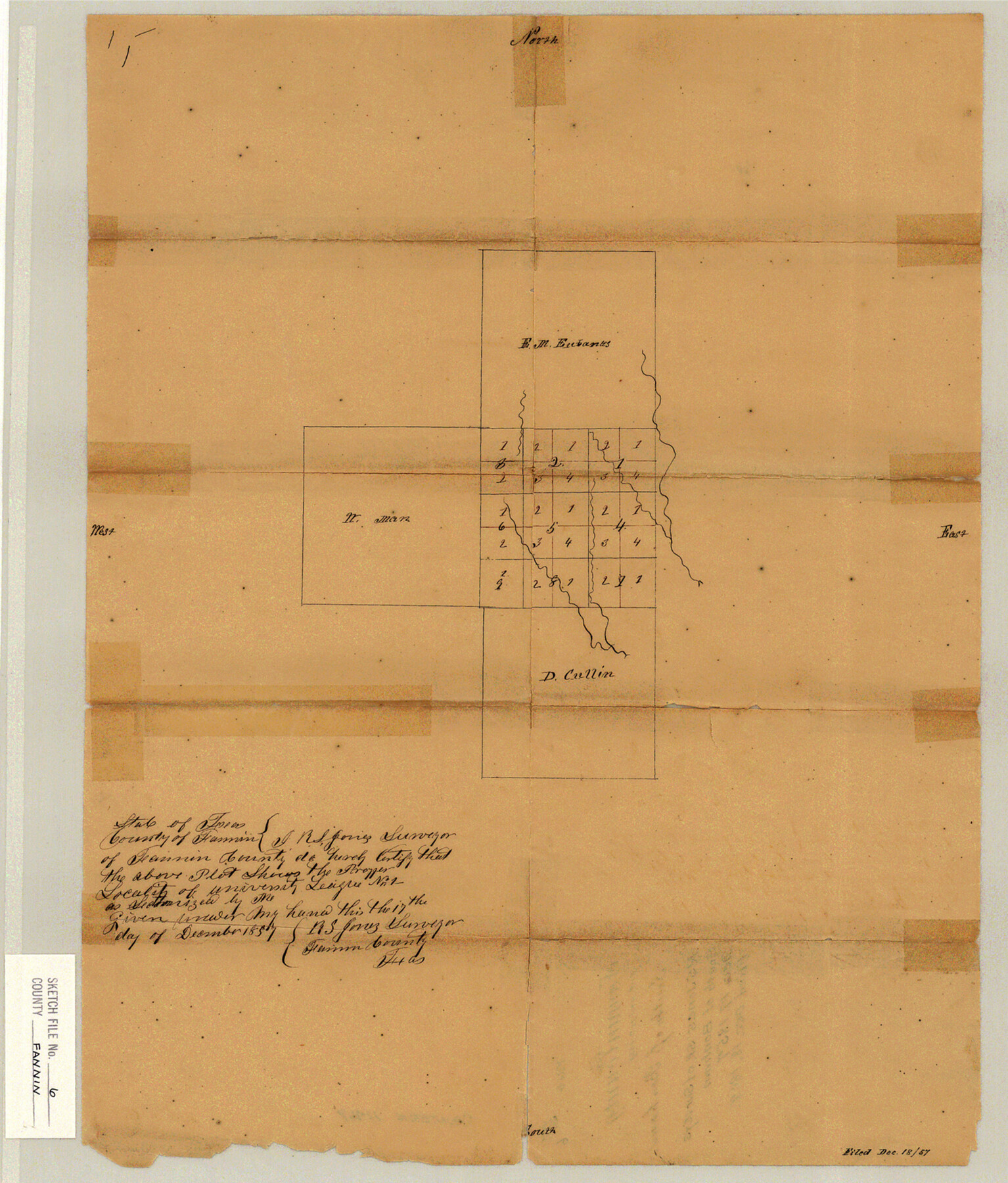
Fannin County Sketch File 6
South of Bonham
-
Map/Doc
11469
-
Collection
General Map Collection
-
Object Dates
1857/12/17 (Creation Date)
1857/12/18 (File Date)
-
People and Organizations
R.S. Jones (Surveyor/Engineer)
-
Counties
Fannin
-
Subjects
Surveying Sketch File
-
Height x Width
17.0 x 14.5 inches
43.2 x 36.8 cm
-
Medium
paper, manuscript
Part of: General Map Collection
Milam County Boundary File 65a

Print $40.00
- Digital $50.00
Milam County Boundary File 65a
Size 17.2 x 30.4 inches
Map/Doc 57256
Flight Mission No. DQN-4K, Frame 8, Calhoun County

Print $20.00
- Digital $50.00
Flight Mission No. DQN-4K, Frame 8, Calhoun County
1953
Size 18.8 x 22.5 inches
Map/Doc 84373
Jasper County Working Sketch 18

Print $20.00
- Digital $50.00
Jasper County Working Sketch 18
1934
Size 22.4 x 30.5 inches
Map/Doc 66480
Chambers County Sketch File 29

Print $20.00
- Digital $50.00
Chambers County Sketch File 29
Size 29.0 x 34.5 inches
Map/Doc 10332
Coleman County Working Sketch 3

Print $20.00
- Digital $50.00
Coleman County Working Sketch 3
1918
Size 27.1 x 29.2 inches
Map/Doc 68069
Presidio County Working Sketch 67

Print $20.00
- Digital $50.00
Presidio County Working Sketch 67
1960
Size 36.2 x 36.5 inches
Map/Doc 71744
El Paso County Sketch File 35 (4)

Print $38.00
- Digital $50.00
El Paso County Sketch File 35 (4)
1886
Size 14.3 x 9.0 inches
Map/Doc 22199
Montague County Sketch File 16

Print $20.00
- Digital $50.00
Montague County Sketch File 16
1853
Size 32.5 x 29.2 inches
Map/Doc 10546
Intracoastal Waterway in Texas - Corpus Christi to Point Isabel including Arroyo Colorado to Mo. Pac. R.R. Bridge Near Harlingen

Print $20.00
- Digital $50.00
Intracoastal Waterway in Texas - Corpus Christi to Point Isabel including Arroyo Colorado to Mo. Pac. R.R. Bridge Near Harlingen
1933
Size 27.8 x 40.9 inches
Map/Doc 61864

Coleman County Sketch File 4a

Print $20.00
- Digital $50.00
Coleman County Sketch File 4a
1873
Size 12.4 x 20.9 inches
Map/Doc 11118
Gregg County Working Sketch Graphic Index

Print $20.00
- Digital $50.00
Gregg County Working Sketch Graphic Index
1933
Size 32.4 x 29.5 inches
Map/Doc 76559
You may also like
[Townships 1 through 5 North, Blocks 34, 35, and 36]
![92587, [Townships 1 through 5 North, Blocks 34, 35, and 36], Twichell Survey Records](https://historictexasmaps.com/wmedia_w700/maps/92587-1.tif.jpg)
Print $20.00
- Digital $50.00
[Townships 1 through 5 North, Blocks 34, 35, and 36]
Size 41.7 x 21.4 inches
Map/Doc 92587
San Saba County Boundary File 77

Print $32.00
- Digital $50.00
San Saba County Boundary File 77
Size 9.2 x 7.7 inches
Map/Doc 58577

Upton County Sketch File 34

Print $40.00
- Digital $50.00
Upton County Sketch File 34
1941
Size 16.2 x 12.2 inches
Map/Doc 38884
Terrell County Sketch File 17

Print $13.00
- Digital $50.00
Terrell County Sketch File 17
Size 10.1 x 8.1 inches
Map/Doc 37935
Flight Mission No. DAG-23K, Frame 170, Matagorda County

Print $20.00
- Digital $50.00
Flight Mission No. DAG-23K, Frame 170, Matagorda County
1953
Size 18.6 x 22.4 inches
Map/Doc 86508
Lavaca County Working Sketch Graphic Index

Print $40.00
- Digital $50.00
Lavaca County Working Sketch Graphic Index
1946
Size 49.9 x 41.5 inches
Map/Doc 76616
Concho County Sketch File 8

Print $44.00
- Digital $50.00
Concho County Sketch File 8
1886
Size 16.2 x 12.2 inches
Map/Doc 19131
Pecos County Rolled Sketch 22

Print $20.00
- Digital $50.00
Pecos County Rolled Sketch 22
1886
Size 24.3 x 37.0 inches
Map/Doc 93455

Cameron County NRC Article 33.136 Sketch 2

Print $20.00
- Digital $50.00
Cameron County NRC Article 33.136 Sketch 2
2002
Size 24.4 x 35.9 inches
Map/Doc 77040
Brazos River, Widths of Floodways/Brazos and Navasota Rivers

Print $20.00
- Digital $50.00
Brazos River, Widths of Floodways/Brazos and Navasota Rivers
1921
Size 38.1 x 24.5 inches
Map/Doc 65292