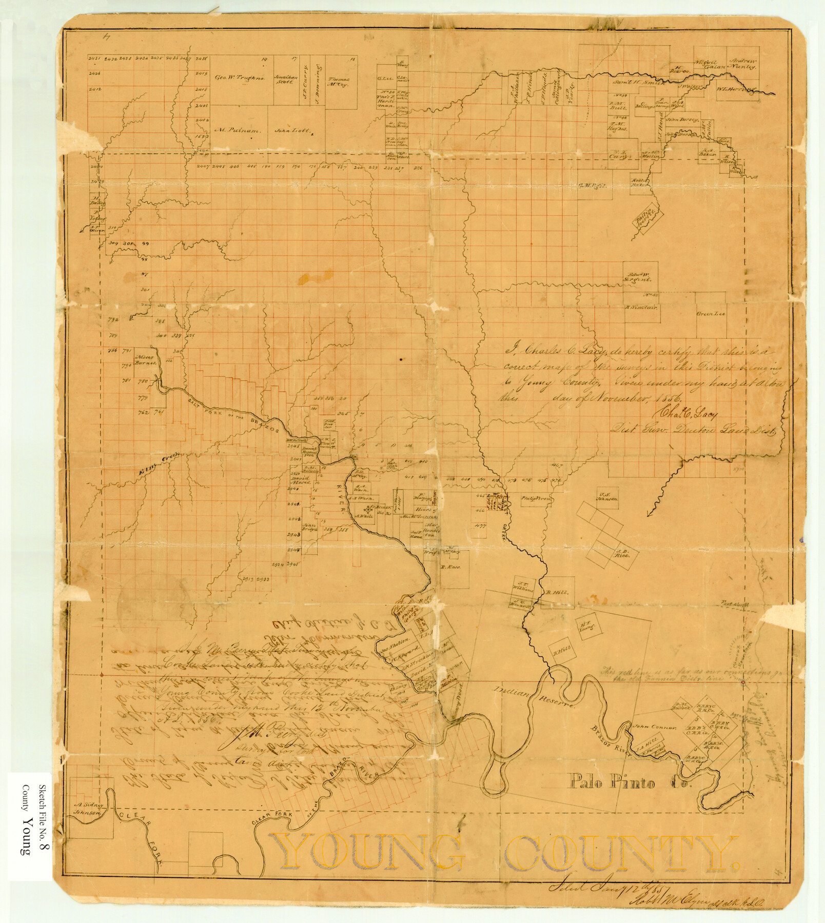
Young County Sketch File 8
Sketch of surveys on the Brazos River, November 13, 1856.
-
Map/Doc
12710
-
Collection
General Map Collection
-
Object Dates
1856/11/13 (Creation Date)
1857/1/12 (File Date)
1856/11/13 (Creation Date)
1857/1/12 (File Date)
-
People and Organizations
J.M. Peery (Surveyor/Engineer)
-
Counties
Young
-
Subjects
Surveying Sketch File
-
Height x Width
19.8 x 17.7 inches
50.3 x 45.0 cm
-
Medium
paper, manuscript
-
Features
Salt Fork of Brazos River
Elm Creek
Salt Creek
Rock Creek
Fort Abott
Cement Mountain
Brazos River
Indian Reserve
Agency Road
Clear Fork of Brazos River
Part of: General Map Collection
Randall County Rolled Sketch 9A


Print $20.00
- Digital $50.00
Randall County Rolled Sketch 9A
1985
Size 44.5 x 35.0 inches
Map/Doc 10314
Flight Mission No. BQR-4K, Frame 67, Brazoria County


Print $20.00
- Digital $50.00
Flight Mission No. BQR-4K, Frame 67, Brazoria County
1952
Size 18.7 x 22.5 inches
Map/Doc 84000
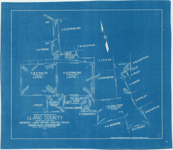
Llano County Working Sketch 2

Print $20.00
- Digital $50.00
Llano County Working Sketch 2
1949
Size 21.0 x 24.3 inches
Map/Doc 70620
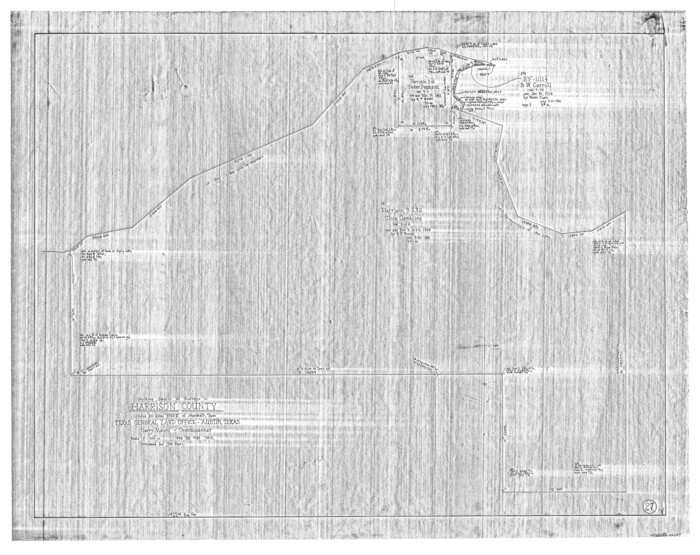
Harrison County Working Sketch 27

Print $20.00
- Digital $50.00
Harrison County Working Sketch 27
1988
Size 29.2 x 36.9 inches
Map/Doc 66047
Hall County Sketch File D


Print $8.00
- Digital $50.00
Hall County Sketch File D
1906
Size 14.4 x 8.7 inches
Map/Doc 24792
Map and Street Guide of Austin, Texas and Urban Areas
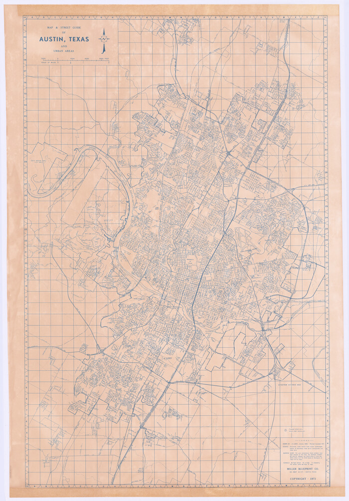

Map and Street Guide of Austin, Texas and Urban Areas
1972
Size 48.6 x 33.9 inches
Map/Doc 82029
Crane County Working Sketch 26


Print $20.00
- Digital $50.00
Crane County Working Sketch 26
1971
Size 32.4 x 33.0 inches
Map/Doc 68303
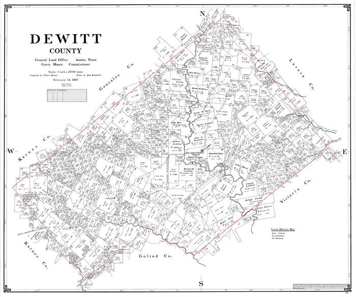
DeWitt County

Print $40.00
- Digital $50.00
DeWitt County
1987
Size 42.1 x 50.6 inches
Map/Doc 95481
Van Zandt County Sketch File 19a


Print $4.00
- Digital $50.00
Van Zandt County Sketch File 19a
1858
Size 7.1 x 8.0 inches
Map/Doc 39424
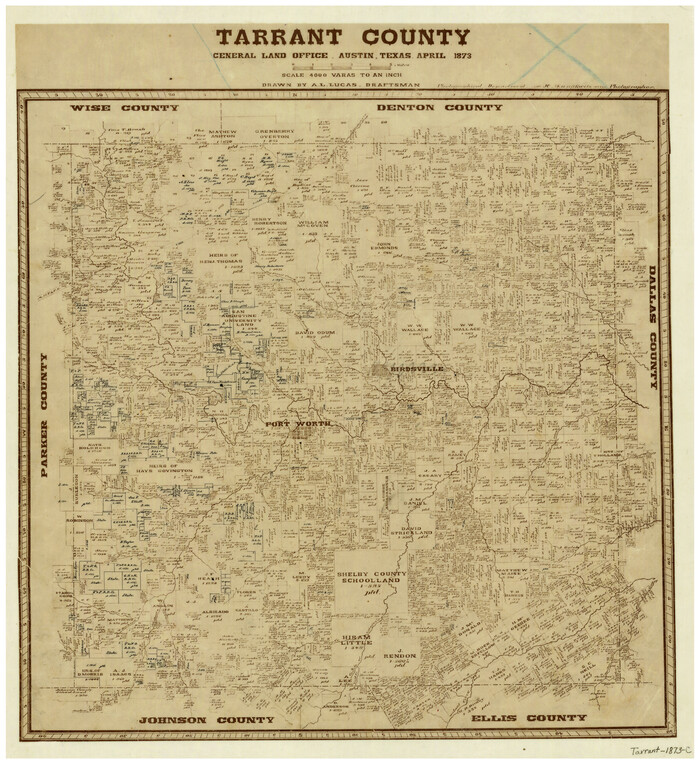
Tarrant County

Print $20.00
- Digital $50.00
Tarrant County
1873
Size 19.6 x 18.0 inches
Map/Doc 4630
Williamson County Rolled Sketch 5


Print $20.00
- Digital $50.00
Williamson County Rolled Sketch 5
1940
Size 23.7 x 34.5 inches
Map/Doc 8263
Brewster County Sketch File 24

Print $40.00
- Digital $50.00
Brewster County Sketch File 24
1957
Size 14.3 x 15.5 inches
Map/Doc 15831
You may also like
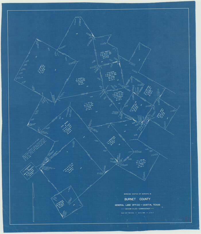
Burnet County Working Sketch 3

Print $20.00
- Digital $50.00
Burnet County Working Sketch 3
1953
Size 31.4 x 26.9 inches
Map/Doc 67846
General Highway Map, Crosby County, Texas
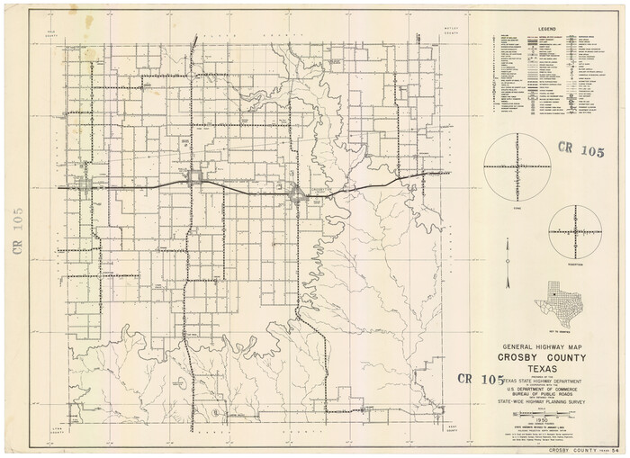

Print $20.00
- Digital $50.00
General Highway Map, Crosby County, Texas
1950
Size 25.7 x 18.8 inches
Map/Doc 92596
Hardin County Sketch File 1
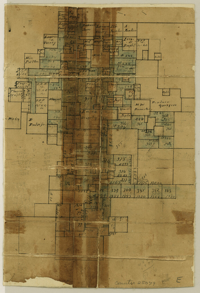

Print $8.00
- Digital $50.00
Hardin County Sketch File 1
1851
Size 10.0 x 6.9 inches
Map/Doc 25079
[Sketch showing Blocks B5, B6 and G.&M. Block 5 north of Capitol Land]
![92990, [Sketch showing Blocks B5, B6 and G.&M. Block 5 north of Capitol Land], Twichell Survey Records](https://historictexasmaps.com/wmedia_w700/maps/92990-1.tif.jpg)
![92990, [Sketch showing Blocks B5, B6 and G.&M. Block 5 north of Capitol Land], Twichell Survey Records](https://historictexasmaps.com/wmedia_w700/maps/92990-1.tif.jpg)
Print $20.00
- Digital $50.00
[Sketch showing Blocks B5, B6 and G.&M. Block 5 north of Capitol Land]
Size 20.7 x 38.2 inches
Map/Doc 92990
Webb County Rolled Sketch 25
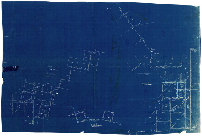

Print $20.00
- Digital $50.00
Webb County Rolled Sketch 25
Size 28.4 x 42.4 inches
Map/Doc 8185
Leon County Rolled Sketch 14A
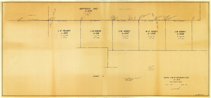

Print $200.00
- Digital $50.00
Leon County Rolled Sketch 14A
1975
Size 16.5 x 35.5 inches
Map/Doc 46535
Outer Continental Shelf Leasing Maps (Louisiana Offshore Operations)


Print $20.00
- Digital $50.00
Outer Continental Shelf Leasing Maps (Louisiana Offshore Operations)
1955
Size 14.0 x 12.8 inches
Map/Doc 76085
Nora Jane Wilson Lease
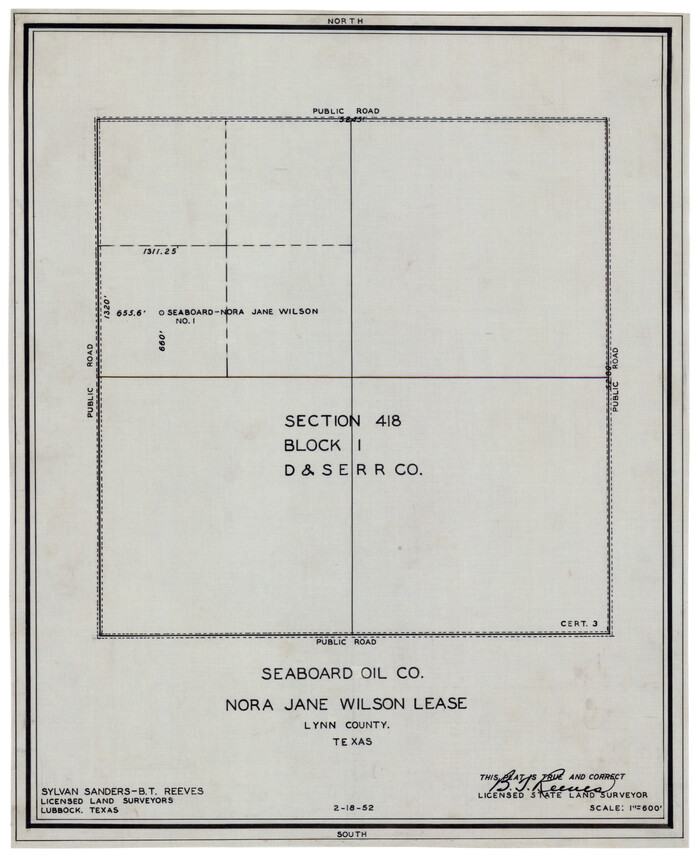

Print $20.00
- Digital $50.00
Nora Jane Wilson Lease
1952
Size 12.5 x 15.0 inches
Map/Doc 92962
Uvalde County Working Sketch 20


Print $20.00
- Digital $50.00
Uvalde County Working Sketch 20
1950
Size 41.5 x 32.4 inches
Map/Doc 72090
[Beaumont, Sour Lake and Western Ry. Right of Way and Alignment - Frisco]
![64106, [Beaumont, Sour Lake and Western Ry. Right of Way and Alignment - Frisco], General Map Collection](https://historictexasmaps.com/wmedia_w700/maps/64106.tif.jpg)
![64106, [Beaumont, Sour Lake and Western Ry. Right of Way and Alignment - Frisco], General Map Collection](https://historictexasmaps.com/wmedia_w700/maps/64106.tif.jpg)
Print $20.00
- Digital $50.00
[Beaumont, Sour Lake and Western Ry. Right of Way and Alignment - Frisco]
1910
Size 19.9 x 45.9 inches
Map/Doc 64106
Galveston County Rolled Sketch 39


Print $20.00
- Digital $50.00
Galveston County Rolled Sketch 39
Size 18.1 x 21.5 inches
Map/Doc 45207
Laguna Madre, T-9209


Print $20.00
- Digital $50.00
Laguna Madre, T-9209
Size 34.0 x 30.8 inches
Map/Doc 73600
