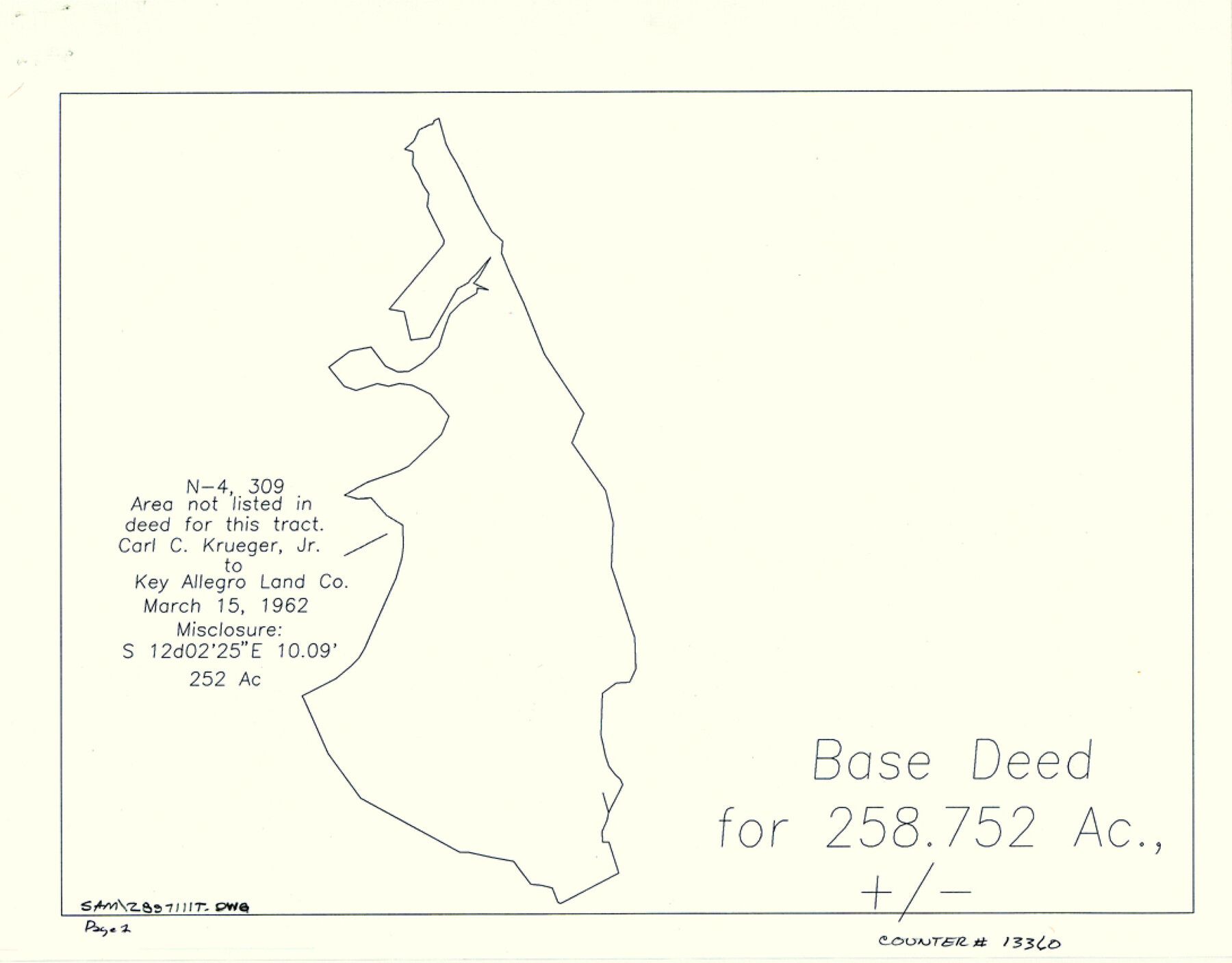
Aransas County Sketch File 36
[Subdivision plats of Key Allegro Island Estates]
- 
                          Map/Doc13360
- 
                            CollectionGeneral Map Collection
- 
                            Object Dates1989/11/10 (File Date)
- 
                            CountiesAransas
- 
                            SubjectsSurveying Sketch File
- 
                            Height x Width8.5 x 10.9 inches21.6 x 27.7 cm
- 
                            Mediummulti-page, multi-format
- 
                            FeaturesMazatlan DriveLittle BayFrandolig PeninsulaLuau LaneAransas BayFlounder CanalSandpiper LaneRedfish CanalFlamingo RoadCanal 8Key Allegro Island EstatesLauderdale DriveNassau DriveJamaica DriveBay Shore DriveRiviera DriveWest Nine Mile PointRockportKey Allegro Marina
Part of: General Map Collection
            Cherokee County Sketch File 29


                                            Print $2.00                    
                                             -                         Digital $50.00                                    
                Cherokee County Sketch File 29
Size 12.9 x 8.2 inches
                                Map/Doc 18175
            
            Current Miscellaneous File 8


                                            Print $10.00                    
                                             -                         Digital $50.00                                    
                Current Miscellaneous File 8
Size 14.6 x 9.1 inches
                                Map/Doc 73736
            
            Gregg County Sketch File 16


                                            Print $6.00                    
                                             -                         Digital $50.00                                    
                Gregg County Sketch File 16
1931
Size 17.0 x 11.0 inches
                                Map/Doc 24619
            
            Brewster County Sketch File 43


                                            Print $4.00                    
                                             -                         Digital $50.00                                    
                Brewster County Sketch File 43
Size 8.8 x 11.3 inches
                                Map/Doc 16309
            
            Falls County Working Sketch 2


                                            Print $20.00                    
                                             -                         Digital $50.00                                    
                Falls County Working Sketch 2
1922
Size 19.0 x 30.0 inches
                                Map/Doc 69177
            
            Newton County Working Sketch 18


                                            Print $20.00                    
                                             -                         Digital $50.00                                    
                Newton County Working Sketch 18
1950
Size 14.3 x 13.6 inches
                                Map/Doc 71264
            
            Mills County Working Sketch 4


                                            Print $3.00                    
                                             -                         Digital $50.00                                    
                Mills County Working Sketch 4
1906
Size 10.7 x 11.7 inches
                                Map/Doc 71034
            
            Kimble County Working Sketch 12


                                            Print $20.00                    
                                             -                         Digital $50.00                                    
                Kimble County Working Sketch 12
1922
Size 27.6 x 19.5 inches
                                Map/Doc 70080
            
            Flight Mission No. CGI-3N, Frame 134, Cameron County


                                            Print $20.00                    
                                             -                         Digital $50.00                                    
                Flight Mission No. CGI-3N, Frame 134, Cameron County
1954
Size 18.4 x 22.2 inches
                                Map/Doc 84607
            
            United States Bathymetric and Fishing Maps including Topographic/Bathymetric Maps


                                            Print $40.00                    
                                             -                         Digital $50.00                                    
                United States Bathymetric and Fishing Maps including Topographic/Bathymetric Maps
1989
Size 21.8 x 54.8 inches
                                Map/Doc 73556
            
            Flight Mission No. DIX-10P, Frame 181, Aransas County


                                            Print $20.00                    
                                             -                         Digital $50.00                                    
                Flight Mission No. DIX-10P, Frame 181, Aransas County
1956
Size 18.5 x 22.2 inches
                                Map/Doc 83971
            
            Right-of-Way and Track Map, Texas State Railroad operated by the T. and N. O. R.R. Co.


                                            Print $40.00                    
                                             -                         Digital $50.00                                    
                Right-of-Way and Track Map, Texas State Railroad operated by the T. and N. O. R.R. Co.
1917
Size 24.6 x 55.8 inches
                                Map/Doc 64175
            You may also like
            Flight Mission No. CUG-1P, Frame 164, Kleberg County


                                            Print $20.00                    
                                             -                         Digital $50.00                                    
                Flight Mission No. CUG-1P, Frame 164, Kleberg County
1956
Size 18.5 x 22.2 inches
                                Map/Doc 86171
            
            Harris County Rolled Sketch 71


                                            Print $20.00                    
                                             -                         Digital $50.00                                    
                Harris County Rolled Sketch 71
1944
Size 19.3 x 26.7 inches
                                Map/Doc 6111
            
            Goliad County Working Sketch 14


                                            Print $20.00                    
                                             -                         Digital $50.00                                    
                Goliad County Working Sketch 14
1946
Size 29.5 x 42.8 inches
                                Map/Doc 63204
            
            Atascosa County Sketch File 3b


                                            Print $8.00                    
                                             -                         Digital $50.00                                    
                Atascosa County Sketch File 3b
1857
Size 11.4 x 5.8 inches
                                Map/Doc 13739
            
            Flight Mission No. CRC-4R, Frame 111, Chambers County


                                            Print $20.00                    
                                             -                         Digital $50.00                                    
                Flight Mission No. CRC-4R, Frame 111, Chambers County
1956
Size 18.5 x 22.4 inches
                                Map/Doc 84908
            
            Lavaca County Sketch File 7


                                            Print $4.00                    
                                             -                         Digital $50.00                                    
                Lavaca County Sketch File 7
1873
Size 7.9 x 9.8 inches
                                Map/Doc 29642
            
            McMullen County Sketch File 4


                                            Print $4.00                    
                                             -                         Digital $50.00                                    
                McMullen County Sketch File 4
Size 7.9 x 10.1 inches
                                Map/Doc 31341
            
            Duval County Rolled Sketch 39


                                            Print $20.00                    
                                             -                         Digital $50.00                                    
                Duval County Rolled Sketch 39
1956
Size 29.0 x 20.1 inches
                                Map/Doc 5756
            
            Cherokee County Sketch File 36


                                            Print $20.00                    
                                             -                         Digital $50.00                                    
                Cherokee County Sketch File 36
1943
Size 23.0 x 22.2 inches
                                Map/Doc 11074
            
            Kimble County Working Sketch 67


                                            Print $20.00                    
                                             -                         Digital $50.00                                    
                Kimble County Working Sketch 67
1965
Size 20.7 x 34.5 inches
                                Map/Doc 70135
            
            Culberson County Working Sketch 52


                                            Print $20.00                    
                                             -                         Digital $50.00                                    
                Culberson County Working Sketch 52
1972
Size 37.3 x 39.5 inches
                                Map/Doc 68506
            
            Coast Chart No. 212 - From Latitude 26° 33' to the Rio Grande Texas


                                            Print $20.00                    
                                             -                         Digital $50.00                                    
                Coast Chart No. 212 - From Latitude 26° 33' to the Rio Grande Texas
1886
Size 27.7 x 18.3 inches
                                Map/Doc 72828
            