[Surveys on San Antonio River and Aransas Bay area]
Atlas E, Sketch 21 (E-21)
E-21
-
Map/Doc
141
-
Collection
General Map Collection
-
Object Dates
1840 (Creation Date)
-
Counties
Nueces
-
Subjects
Atlas
-
Height x Width
24.1 x 33.0 inches
61.2 x 83.8 cm
-
Medium
paper, manuscript
-
Comments
Conserved in 2003.
-
Features
West Pass
Oyster Bank
Shallow Bay
Corpus Christi Bay
Indian Reef
Aransas City
Lamar
Cabo Carlos
St. Charles Bay
Nueces Bay
Aransas Bay
Cavasa Creek
Salt Creek
Espiritu Santo Bay
Copano Creek
East Pass
Aransas River
Mission Bay
Chiltepine River
Nueces River
Chockolate [sic] Creek
Saus Creek
Mission River
Melon Creek
Road from Copano to Golliad [sic]
San Antonio River
Mission of Refugio
Road from the Mission to Golliad [sic]
Sarco Creek
Maugrero Creek
Blanco River
River Medea
Part of: General Map Collection
San Patricio County Rolled Sketch 46F

Print $4.00
- Digital $50.00
San Patricio County Rolled Sketch 46F
1983
Size 18.0 x 23.1 inches
Map/Doc 8377
Brazoria County NRC Article 33.136 Location Key Sheet

Print $20.00
- Digital $50.00
Brazoria County NRC Article 33.136 Location Key Sheet
1964
Size 27.0 x 22.0 inches
Map/Doc 77008
[Sketches on Lagoona (sic) Creek, Attascosa (sic) and Laredo Road]
![126, [Sketches on Lagoona (sic) Creek, Attascosa (sic) and Laredo Road], General Map Collection](https://historictexasmaps.com/wmedia_w700/maps/126.tif.jpg)
![126, [Sketches on Lagoona (sic) Creek, Attascosa (sic) and Laredo Road], General Map Collection](https://historictexasmaps.com/wmedia_w700/maps/126.tif.jpg)
Print $20.00
- Digital $50.00
[Sketches on Lagoona (sic) Creek, Attascosa (sic) and Laredo Road]
1841
Size 18.0 x 13.5 inches
Map/Doc 126
[Surveys in Polk County]
![329, [Surveys in Polk County], General Map Collection](https://historictexasmaps.com/wmedia_w700/maps/329.tif.jpg)
![329, [Surveys in Polk County], General Map Collection](https://historictexasmaps.com/wmedia_w700/maps/329.tif.jpg)
Print $2.00
- Digital $50.00
[Surveys in Polk County]
1847
Size 6.6 x 8.0 inches
Map/Doc 329
Houston County Rolled Sketch 8

Print $20.00
- Digital $50.00
Houston County Rolled Sketch 8
1948
Size 27.7 x 20.3 inches
Map/Doc 6228
Map of the State of Texas [West Part]
![81921, Map of the State of Texas [West Part], General Map Collection](https://historictexasmaps.com/wmedia_w700/maps/81921.tif.jpg)
![81921, Map of the State of Texas [West Part], General Map Collection](https://historictexasmaps.com/wmedia_w700/maps/81921.tif.jpg)
Print $40.00
- Digital $50.00
Map of the State of Texas [West Part]
1938
Size 68.7 x 38.2 inches
Map/Doc 81921
Controlled Mosaic by Jack Amman Photogrammetric Engineers, Inc - Sheet 20


Print $20.00
- Digital $50.00
Controlled Mosaic by Jack Amman Photogrammetric Engineers, Inc - Sheet 20
1954
Size 19.3 x 24.0 inches
Map/Doc 83469
Val Verde County Working Sketch 105
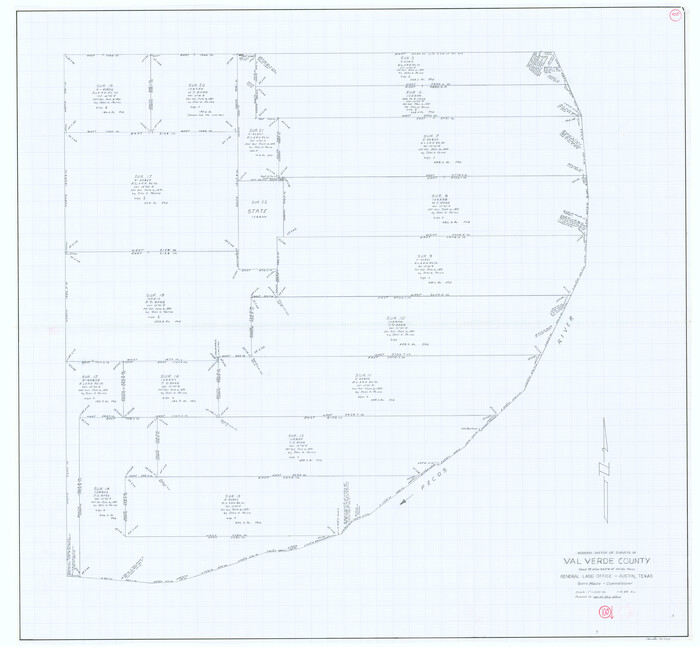

Print $20.00
- Digital $50.00
Val Verde County Working Sketch 105
1983
Size 39.8 x 43.0 inches
Map/Doc 72240
Andrews County Working Sketch 31


Print $20.00
- Digital $50.00
Andrews County Working Sketch 31
1990
Size 42.9 x 30.0 inches
Map/Doc 67077
Eastland County Sketch File 11


Print $8.00
- Digital $50.00
Eastland County Sketch File 11
Size 6.7 x 7.0 inches
Map/Doc 21585
Henderson County Working Sketch 28


Print $20.00
- Digital $50.00
Henderson County Working Sketch 28
1955
Size 27.3 x 24.9 inches
Map/Doc 66161
Armstrong County Rolled Sketch OS
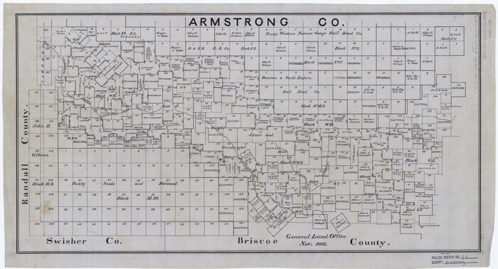

Print $20.00
- Digital $50.00
Armstrong County Rolled Sketch OS
1902
Size 17.5 x 32.4 inches
Map/Doc 5086
You may also like
San Patricio County Sketch File 45
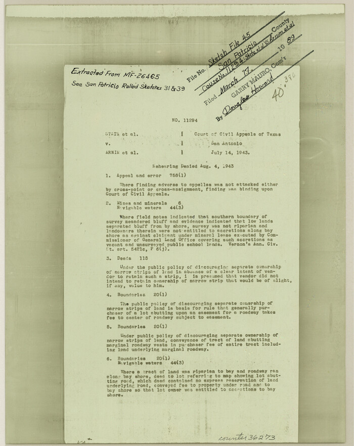

Print $20.00
- Digital $50.00
San Patricio County Sketch File 45
1943
Size 11.2 x 8.9 inches
Map/Doc 36273
Coast Chart No. 210 Aransas Pass and Corpus Christi Bay with the coast to latitude 27° 12' Texas


Print $20.00
- Digital $50.00
Coast Chart No. 210 Aransas Pass and Corpus Christi Bay with the coast to latitude 27° 12' Texas
1887
Size 27.6 x 18.2 inches
Map/Doc 72789
[Map 1:] A Geographically Correct County Map of States Traversed by the St. Louis, Iron Mountain and Southern Railway and its connections / [Map 2:] Map of the St. Louis, Iron Mountain and Southern Railway, and connections
![95784, [Map 1:] A Geographically Correct County Map of States Traversed by the St. Louis, Iron Mountain and Southern Railway and its connections / [Map 2:] Map of the St. Louis, Iron Mountain and Southern Railway, and connections, Cobb Digital Map Collection - 1](https://historictexasmaps.com/wmedia_w700/maps/95784.tif.jpg)
![95784, [Map 1:] A Geographically Correct County Map of States Traversed by the St. Louis, Iron Mountain and Southern Railway and its connections / [Map 2:] Map of the St. Louis, Iron Mountain and Southern Railway, and connections, Cobb Digital Map Collection - 1](https://historictexasmaps.com/wmedia_w700/maps/95784.tif.jpg)
Print $20.00
- Digital $50.00
[Map 1:] A Geographically Correct County Map of States Traversed by the St. Louis, Iron Mountain and Southern Railway and its connections / [Map 2:] Map of the St. Louis, Iron Mountain and Southern Railway, and connections
1878
Size 18.9 x 32.2 inches
Map/Doc 95784
Right of Way and Track Map of The Wichita Falls & Southern Railroad Company
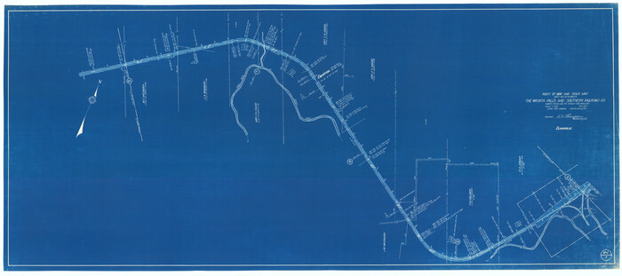

Print $40.00
- Digital $50.00
Right of Way and Track Map of The Wichita Falls & Southern Railroad Company
1942
Size 25.0 x 56.2 inches
Map/Doc 64520
Right of Way & Track Map, The Texas & Pacific Ry. Co. Main Line


Print $20.00
- Digital $50.00
Right of Way & Track Map, The Texas & Pacific Ry. Co. Main Line
Size 11.0 x 19.0 inches
Map/Doc 64685
Real County Working Sketch 56
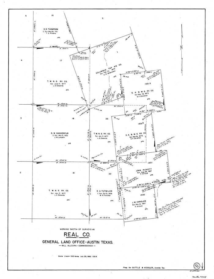

Print $20.00
- Digital $50.00
Real County Working Sketch 56
1960
Size 31.1 x 23.9 inches
Map/Doc 71948
Hamilton County Sketch File 9
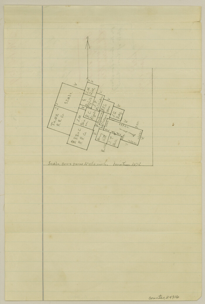

Print $6.00
- Digital $50.00
Hamilton County Sketch File 9
1874
Size 12.1 x 8.2 inches
Map/Doc 24916
Red River County Working Sketch 72
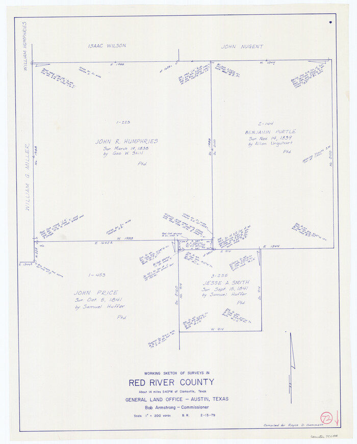

Print $20.00
- Digital $50.00
Red River County Working Sketch 72
1979
Size 24.7 x 19.8 inches
Map/Doc 72055
The Republic County of Bowie. Spring 1842


Print $20.00
The Republic County of Bowie. Spring 1842
2020
Size 19.5 x 21.7 inches
Map/Doc 96105
Concho, San Saba & Llano Valley Railway, Sterling City Branch, Texas. Right of Way and Track Map


Print $40.00
- Digital $50.00
Concho, San Saba & Llano Valley Railway, Sterling City Branch, Texas. Right of Way and Track Map
1910
Size 18.1 x 121.2 inches
Map/Doc 64438
Montague County Sketch File 8


Print $22.00
- Digital $50.00
Montague County Sketch File 8
Size 8.1 x 3.7 inches
Map/Doc 31722
![141, [Surveys on San Antonio River and Aransas Bay area], General Map Collection](https://historictexasmaps.com/wmedia_w1800h1800/maps/141.tif.jpg)
