Map of Brassos [sic] & Bosque Surveys
Atlas E, Sketch 26 (E-26)
E-26
-
Map/Doc
146
-
Collection
General Map Collection
-
Object Dates
1841/5/15 (Creation Date)
-
People and Organizations
James Howlet (Surveyor/Engineer)
-
Counties
McLennan Bosque
-
Subjects
Atlas
-
Height x Width
27.7 x 18.9 inches
70.4 x 48.0 cm
-
Medium
paper, manuscript
-
Comments
Conserved in 2003.
-
Features
Brasos [sic] River
Bosque River
Hog Creek
Part of: General Map Collection
Archer County
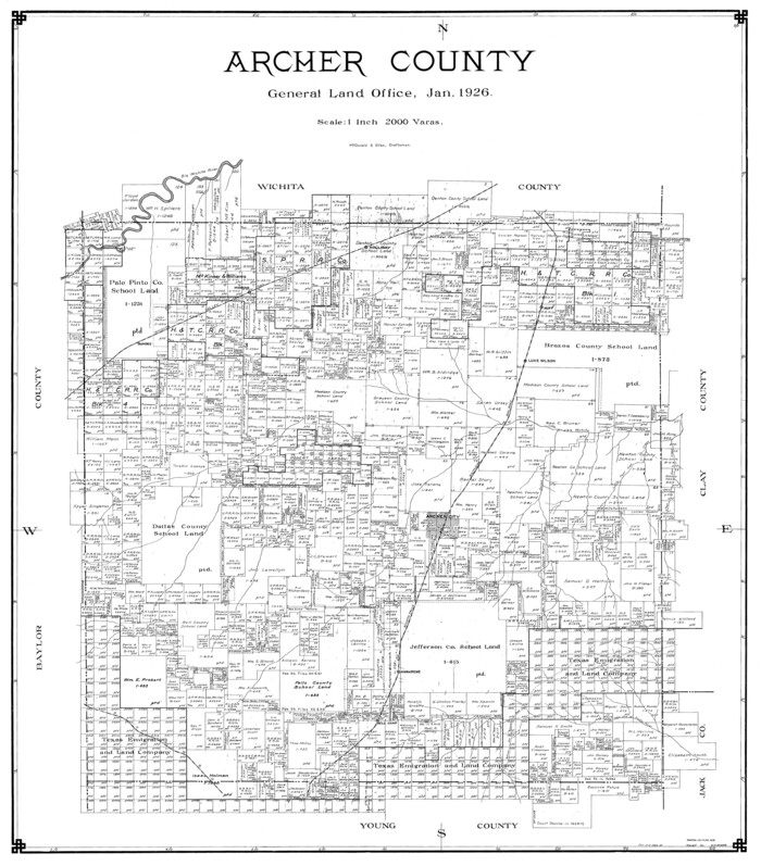

Print $20.00
- Digital $50.00
Archer County
1926
Size 43.8 x 38.7 inches
Map/Doc 77202
Aransas Pass to Baffin Bay


Print $20.00
- Digital $50.00
Aransas Pass to Baffin Bay
1973
Size 42.0 x 35.1 inches
Map/Doc 73418
Aransas County Working Sketch 2


Print $3.00
- Digital $50.00
Aransas County Working Sketch 2
1926
Size 16.3 x 9.7 inches
Map/Doc 67169
Wood County Rolled Sketch 1
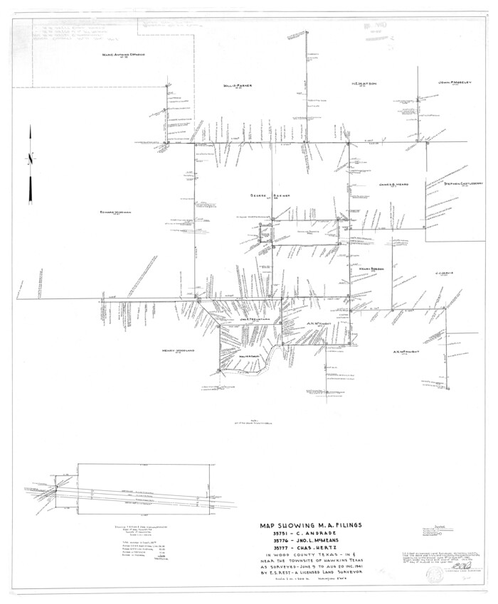

Print $40.00
- Digital $50.00
Wood County Rolled Sketch 1
1941
Size 53.2 x 43.8 inches
Map/Doc 10159
Liberty County Working Sketch 12
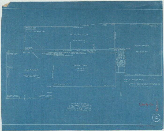

Print $20.00
- Digital $50.00
Liberty County Working Sketch 12
1914
Size 14.0 x 17.5 inches
Map/Doc 70471
Mitchell's school atlas: comprising the maps, etc., designed to illustrate Mitchell's school and family geography


Print $370.00
- Digital $50.00
Mitchell's school atlas: comprising the maps, etc., designed to illustrate Mitchell's school and family geography
1851
Size 12.0 x 9.6 inches
Map/Doc 93491
Grimes County Working Sketch 2


Print $20.00
- Digital $50.00
Grimes County Working Sketch 2
1941
Size 13.2 x 20.9 inches
Map/Doc 63293
Wilbarger County Working Sketch 6


Print $20.00
- Digital $50.00
Wilbarger County Working Sketch 6
1946
Size 27.1 x 41.4 inches
Map/Doc 72544
Briscoe County Rolled Sketch 14A


Print $40.00
- Digital $50.00
Briscoe County Rolled Sketch 14A
1913
Size 34.6 x 48.1 inches
Map/Doc 8530
Sabine Bank to East Bay including Heald Bank
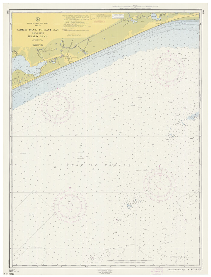

Print $20.00
- Digital $50.00
Sabine Bank to East Bay including Heald Bank
1960
Size 45.1 x 34.3 inches
Map/Doc 69847
Brewster County Sketch File N-20


Print $40.00
- Digital $50.00
Brewster County Sketch File N-20
1941
Size 16.5 x 20.5 inches
Map/Doc 10967
Texas Hill Country Trail Region


Texas Hill Country Trail Region
Size 18.1 x 24.2 inches
Map/Doc 96872
You may also like
Liberty County
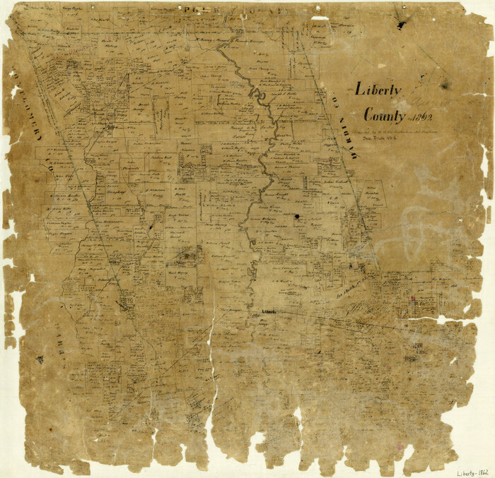

Print $20.00
- Digital $50.00
Liberty County
1862
Size 24.3 x 24.8 inches
Map/Doc 3815
Duval County Sketch File 66


Print $12.00
- Digital $50.00
Duval County Sketch File 66
1944
Size 14.5 x 8.8 inches
Map/Doc 21444
Matagorda County Working Sketch 33


Print $20.00
- Digital $50.00
Matagorda County Working Sketch 33
1998
Size 32.0 x 42.5 inches
Map/Doc 70891
Flight Mission No. DQO-8K, Frame 40, Galveston County


Print $20.00
- Digital $50.00
Flight Mission No. DQO-8K, Frame 40, Galveston County
1952
Size 18.5 x 22.3 inches
Map/Doc 85147
Wood County Sketch File 10


Print $12.00
- Digital $50.00
Wood County Sketch File 10
1850
Size 8.3 x 12.8 inches
Map/Doc 40658
Matagorda County
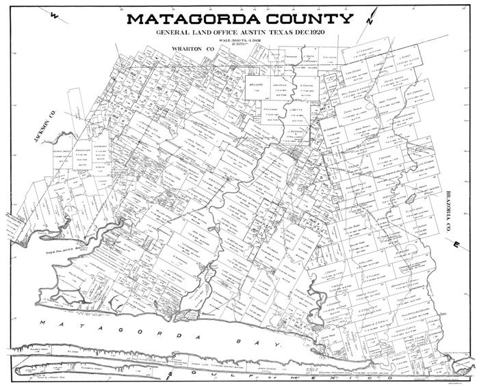

Print $40.00
- Digital $50.00
Matagorda County
1920
Size 39.7 x 49.1 inches
Map/Doc 77368
Flight Mission No. DQN-1K, Frame 73, Calhoun County
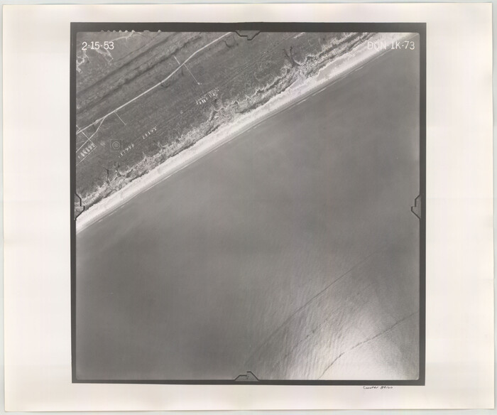

Print $20.00
- Digital $50.00
Flight Mission No. DQN-1K, Frame 73, Calhoun County
1953
Size 18.5 x 22.2 inches
Map/Doc 84160
Le Nouveau Mexique et la Floride: Tirèes de diverses cartes, et relations
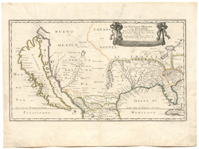

Print $20.00
- Digital $50.00
Le Nouveau Mexique et la Floride: Tirèes de diverses cartes, et relations
1656
Size 17.2 x 22.8 inches
Map/Doc 95833
Hays County Rolled Sketch 19


Print $20.00
- Digital $50.00
Hays County Rolled Sketch 19
1887
Size 26.7 x 22.3 inches
Map/Doc 6175
Harrison County
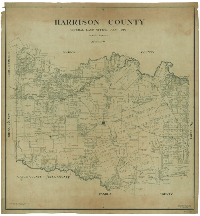

Print $20.00
- Digital $50.00
Harrison County
1920
Size 45.1 x 41.8 inches
Map/Doc 1850
Ed Gordon Irrigated Farm NE Quarter Section 14, Block E
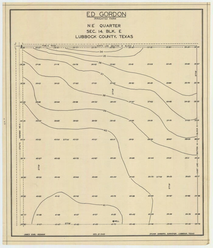

Print $20.00
- Digital $50.00
Ed Gordon Irrigated Farm NE Quarter Section 14, Block E
1943
Size 16.0 x 18.6 inches
Map/Doc 92325
San Augustine County, Texas


Print $20.00
- Digital $50.00
San Augustine County, Texas
1879
Size 22.7 x 17.5 inches
Map/Doc 752
![146, Map of Brassos [sic] & Bosque Surveys, General Map Collection](https://historictexasmaps.com/wmedia_w1800h1800/maps/146.tif.jpg)