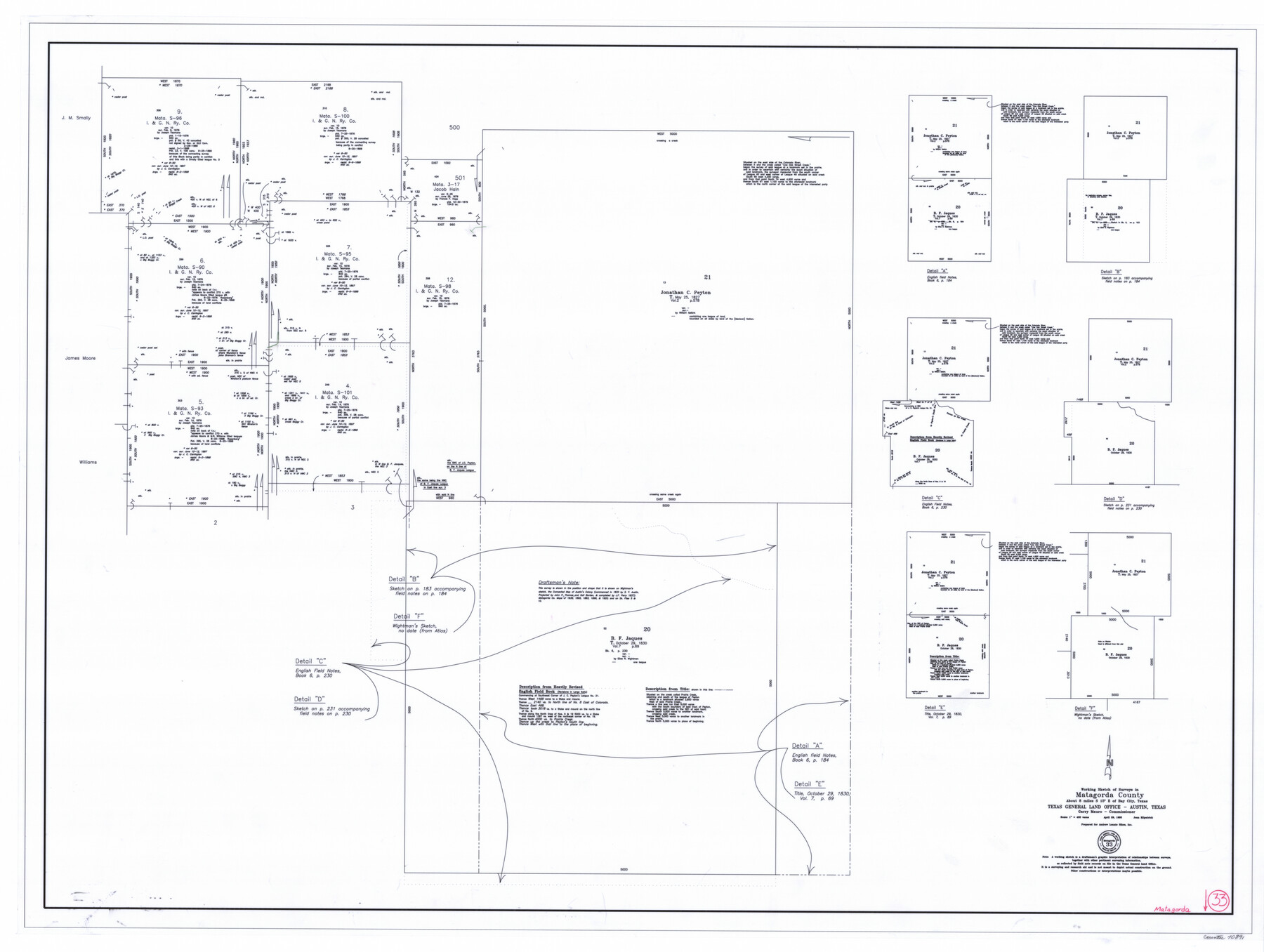
Matagorda County Working Sketch 33
-
Map/Doc
70891
-
Collection
General Map Collection
-
Object Dates
4/29/1998 (Creation Date)
-
People and Organizations
Joan Kilpatrick (Draftsman)
-
Counties
Matagorda
-
Subjects
Surveying Working Sketch
-
Height x Width
32.0 x 42.5 inches
81.3 x 108.0 cm
-
Scale
1" = 400 varas
Part of: General Map Collection
Hunt County Rolled Sketch 5

Print $20.00
- Digital $50.00
Hunt County Rolled Sketch 5
1956
Size 27.6 x 24.8 inches
Map/Doc 6270
Galveston County Sketch File 33

Print $12.00
- Digital $50.00
Galveston County Sketch File 33
1934
Size 11.2 x 8.8 inches
Map/Doc 23413
Kent County Rolled Sketch 8

Print $20.00
- Digital $50.00
Kent County Rolled Sketch 8
1873
Size 31.5 x 35.5 inches
Map/Doc 9344

Coke County Rolled Sketch 20

Print $20.00
- Digital $50.00
Coke County Rolled Sketch 20
1954
Size 16.0 x 30.5 inches
Map/Doc 5521
Trinity County Working Sketch 14

Print $20.00
- Digital $50.00
Trinity County Working Sketch 14
1956
Size 24.8 x 29.9 inches
Map/Doc 69463
Tyler County Sketch File 25

Print $28.00
- Digital $50.00
Tyler County Sketch File 25
1953
Size 14.5 x 9.0 inches
Map/Doc 38689
Hartley County Working Sketch 1

Print $20.00
- Digital $50.00
Hartley County Working Sketch 1
1893
Size 18.1 x 13.9 inches
Map/Doc 66051
Travis County Rolled Sketch 12

Print $20.00
- Digital $50.00
Travis County Rolled Sketch 12
Size 21.9 x 19.2 inches
Map/Doc 8015
Brooks County Rolled Sketch 15

Print $20.00
- Digital $50.00
Brooks County Rolled Sketch 15
1931
Size 22.4 x 36.8 inches
Map/Doc 5340
Harbor of Brazos Santiago, Texas

Print $20.00
- Digital $50.00
Harbor of Brazos Santiago, Texas
1887
Size 27.1 x 18.3 inches
Map/Doc 72994
Stonewall County Working Sketch 5

Print $20.00
- Digital $50.00
Stonewall County Working Sketch 5
1927
Size 17.7 x 24.0 inches
Map/Doc 63999
You may also like

Flight Mission No. CRC-1R, Frame 34, Chambers County

Print $20.00
- Digital $50.00
Flight Mission No. CRC-1R, Frame 34, Chambers County
1956
Size 18.8 x 22.4 inches
Map/Doc 84702
[East Line & Red River Railroad from Sulphur Springs to Jefferson]
![64768, [East Line & Red River Railroad from Sulphur Springs to Jefferson], General Map Collection](https://historictexasmaps.com/wmedia_w700/maps/64768.tif.jpg)
Print $40.00
- Digital $50.00
[East Line & Red River Railroad from Sulphur Springs to Jefferson]
1879
Size 38.0 x 108.5 inches
Map/Doc 64768
Flight Mission No. DQN-2K, Frame 94, Calhoun County

Print $20.00
- Digital $50.00
Flight Mission No. DQN-2K, Frame 94, Calhoun County
1953
Size 16.6 x 16.2 inches
Map/Doc 84284
Jefferson County Sketch File 8

Print $8.00
- Digital $50.00
Jefferson County Sketch File 8
Size 8.0 x 7.6 inches
Map/Doc 28116
Crosby County Rolled Sketch 2

Print $20.00
- Digital $50.00
Crosby County Rolled Sketch 2
1980
Size 24.7 x 18.7 inches
Map/Doc 5642
Dallas County Sketch File 11

Print $12.00
- Digital $50.00
Dallas County Sketch File 11
1860
Size 8.5 x 7.9 inches
Map/Doc 20416
Crosby County Sketch File 13a

Print $44.00
- Digital $50.00
Crosby County Sketch File 13a
1903
Size 8.8 x 4.5 inches
Map/Doc 20036
General Highway Map, Frio County, Texas

Print $20.00
General Highway Map, Frio County, Texas
1940
Size 18.4 x 24.9 inches
Map/Doc 79095
Terrell County Sketch File 34

Print $12.00
- Digital $50.00
Terrell County Sketch File 34
1960
Size 9.7 x 8.5 inches
Map/Doc 37984
Lyons Subdivision North Part Block 79

Print $20.00
- Digital $50.00
Lyons Subdivision North Part Block 79
Size 19.6 x 24.5 inches
Map/Doc 92795
Jack County Sketch File 18

Print $4.00
- Digital $50.00
Jack County Sketch File 18
1880
Size 10.4 x 8.2 inches
Map/Doc 27553