Bosque County Sketch File 31
[Surveyor's statement by E.L. Barry regarding the establishment of the northeast and southeast corners of the Rufus McLellan survey and the northeast corner of the Gertrudes Cherino survey]
-
Map/Doc
14830
-
Collection
General Map Collection
-
Object Dates
1867/4/13 (Creation Date)
-
People and Organizations
E.L. Barry (Surveyor/Engineer)
-
Counties
Bosque
-
Subjects
Surveying Sketch File
-
Height x Width
8.5 x 10.5 inches
21.6 x 26.7 cm
-
Medium
paper, manuscript
-
Features
Brazos River
Part of: General Map Collection
Sutton County Working Sketch 42

Print $20.00
- Digital $50.00
Sutton County Working Sketch 42
1950
Size 34.5 x 29.1 inches
Map/Doc 62385
Flight Mission No. BQR-7K, Frame 24, Brazoria County


Print $20.00
- Digital $50.00
Flight Mission No. BQR-7K, Frame 24, Brazoria County
1952
Size 18.6 x 22.2 inches
Map/Doc 84022
Current Miscellaneous File 77

Print $10.00
- Digital $50.00
Current Miscellaneous File 77
1900
Size 11.0 x 8.8 inches
Map/Doc 74194
Flight Mission No. BRA-7M, Frame 150, Jefferson County

Print $20.00
- Digital $50.00
Flight Mission No. BRA-7M, Frame 150, Jefferson County
1953
Size 18.7 x 22.4 inches
Map/Doc 85544
Hardeman County Rolled Sketch 14


Print $20.00
- Digital $50.00
Hardeman County Rolled Sketch 14
1884
Size 18.2 x 29.1 inches
Map/Doc 6071
Throckmorton County Boundary File 5

Print $8.00
- Digital $50.00
Throckmorton County Boundary File 5
Size 14.3 x 8.9 inches
Map/Doc 59286
Flight Mission No. BRA-16M, Frame 69, Jefferson County


Print $20.00
- Digital $50.00
Flight Mission No. BRA-16M, Frame 69, Jefferson County
1953
Size 18.6 x 22.2 inches
Map/Doc 85686
Nolan County Sketch File 16


Print $20.00
- Digital $50.00
Nolan County Sketch File 16
1938
Size 18.9 x 23.4 inches
Map/Doc 42166
El Paso County


Print $40.00
- Digital $50.00
El Paso County
1881
Size 51.5 x 15.7 inches
Map/Doc 89057
Montgomery County Rolled Sketch 42
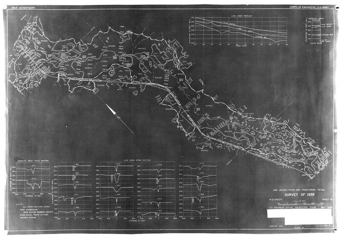

Print $20.00
- Digital $50.00
Montgomery County Rolled Sketch 42
1939
Size 14.0 x 20.1 inches
Map/Doc 6821
Polk County Working Sketch 41
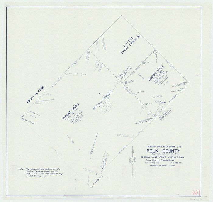

Print $20.00
- Digital $50.00
Polk County Working Sketch 41
1985
Size 26.3 x 27.8 inches
Map/Doc 71658
Navigation Maps of Gulf Intracoastal Waterway, Port Arthur to Brownsville, Texas
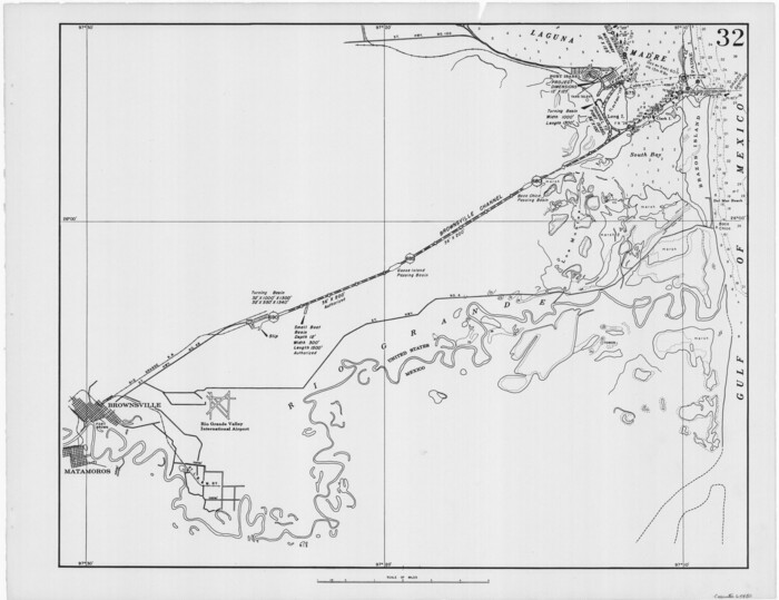

Print $4.00
- Digital $50.00
Navigation Maps of Gulf Intracoastal Waterway, Port Arthur to Brownsville, Texas
1951
Size 16.6 x 21.5 inches
Map/Doc 65452
You may also like
Cass County Sketch File 23


Print $10.00
- Digital $50.00
Cass County Sketch File 23
1936
Size 14.1 x 8.6 inches
Map/Doc 17435
Archer County Sketch File 7

Print $6.00
- Digital $50.00
Archer County Sketch File 7
Size 8.8 x 11.8 inches
Map/Doc 13636
Motley County Sketch File 38 (N)


Print $106.00
- Digital $50.00
Motley County Sketch File 38 (N)
1910
Size 14.4 x 8.8 inches
Map/Doc 32086
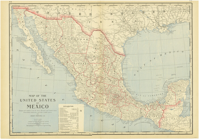
Map of the United States of Mexico drawn and compiled from the latest Mexican and United States Government authorities, and other reliable sources

Print $20.00
- Digital $50.00
Map of the United States of Mexico drawn and compiled from the latest Mexican and United States Government authorities, and other reliable sources
1895
Size 17.3 x 24.8 inches
Map/Doc 94083
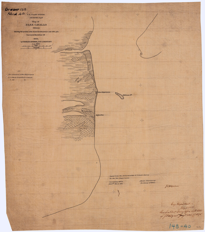
Map of Pass Cavallo, Texas, Showing the position of the Rebel fortifications and rifle pits.

Print $20.00
Map of Pass Cavallo, Texas, Showing the position of the Rebel fortifications and rifle pits.
1863
Size 23.8 x 21.0 inches
Map/Doc 88595
Presidio County Rolled Sketch S1


Print $20.00
- Digital $50.00
Presidio County Rolled Sketch S1
Size 13.3 x 18.8 inches
Map/Doc 7414
Current Miscellaneous File 36


Print $12.00
- Digital $50.00
Current Miscellaneous File 36
Size 10.3 x 12.4 inches
Map/Doc 73952
[Beaumont, Sour Lake and Western Ry. Right of Way and Alignment - Frisco]
![64128, [Beaumont, Sour Lake and Western Ry. Right of Way and Alignment - Frisco], General Map Collection](https://historictexasmaps.com/wmedia_w700/maps/64128.tif.jpg)
![64128, [Beaumont, Sour Lake and Western Ry. Right of Way and Alignment - Frisco], General Map Collection](https://historictexasmaps.com/wmedia_w700/maps/64128.tif.jpg)
Print $20.00
- Digital $50.00
[Beaumont, Sour Lake and Western Ry. Right of Way and Alignment - Frisco]
1910
Size 20.1 x 45.9 inches
Map/Doc 64128
Ochiltree County Sketch File 2


Print $38.00
- Digital $50.00
Ochiltree County Sketch File 2
1903
Size 11.3 x 8.6 inches
Map/Doc 33168
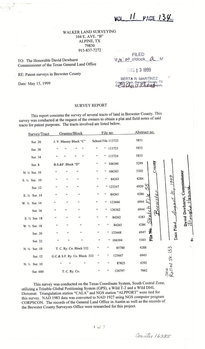
Brewster County Sketch File 55

Print $14.00
- Digital $50.00
Brewster County Sketch File 55
1999
Size 10.9 x 6.4 inches
Map/Doc 16385
Map of Cameron, Hidalgo and half of Starr County of Texas


Print $20.00
- Digital $50.00
Map of Cameron, Hidalgo and half of Starr County of Texas
1942
Size 42.1 x 29.6 inches
Map/Doc 60401

