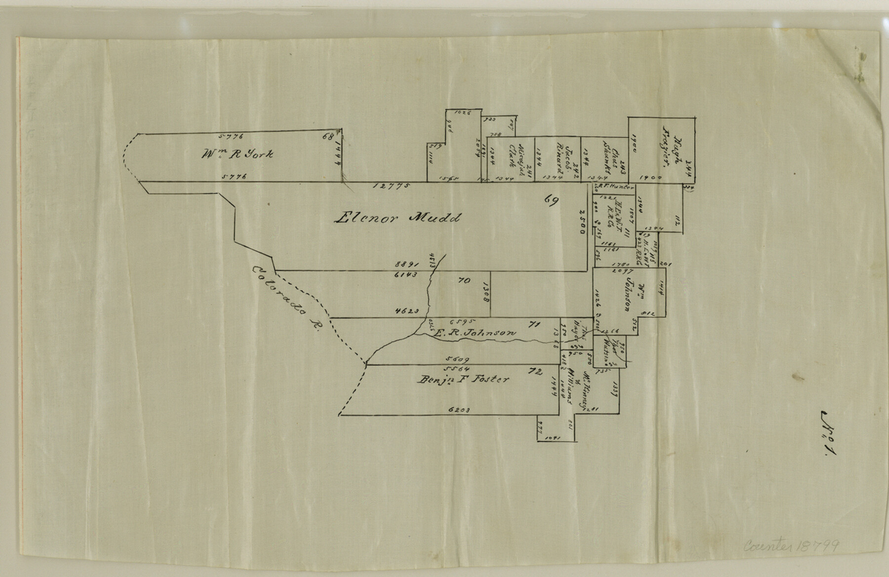
Coleman County Sketch File 48
[Multiple sketches and correspondence regarding surveys and multiple areas on the Colorado River]
-
Map/Doc
18799
-
Collection
General Map Collection
-
Object Dates
1898/10/19 (Creation Date)
1898/11/28 (Creation Date)
1894/2/17 (File Date)
1894/1/27 (Creation Date)
1899/4/12 (Creation Date)
1894/2/10 (File Date)
-
People and Organizations
John W. Parker (Attorney)
W.T. Knox (Surveyor/Engineer)
-
Counties
Coleman
-
Subjects
Surveying Sketch File
-
Height x Width
8.2 x 12.7 inches
20.8 x 32.3 cm
-
Medium
multi-page, multi-format
-
Features
Colorado River
Home Creek
Camp Creek
Bull Creek
Part of: General Map Collection
Flight Mission No. DQO-7K, Frame 102, Galveston County

Print $20.00
- Digital $50.00
Flight Mission No. DQO-7K, Frame 102, Galveston County
1952
Size 18.6 x 22.5 inches
Map/Doc 85117
Copy of Surveyor's Field Book, Morris Browning - In Blocks 7, 5 & 4, I&GNRRCo., Hutchinson and Carson Counties, Texas

Print $2.00
- Digital $50.00
Copy of Surveyor's Field Book, Morris Browning - In Blocks 7, 5 & 4, I&GNRRCo., Hutchinson and Carson Counties, Texas
1888
Size 6.9 x 8.8 inches
Map/Doc 62275
Presidio County Working Sketch 50

Print $20.00
- Digital $50.00
Presidio County Working Sketch 50
1953
Size 45.2 x 41.5 inches
Map/Doc 71727
La Salle County Rolled Sketch 34

Print $20.00
- Digital $50.00
La Salle County Rolled Sketch 34
2019
Size 22.3 x 35.5 inches
Map/Doc 95702
Webb County Sketch File B1

Print $20.00
- Digital $50.00
Webb County Sketch File B1
Size 16.9 x 26.4 inches
Map/Doc 12606
Galveston County Sketch File 5

Print $4.00
- Digital $50.00
Galveston County Sketch File 5
1848
Size 8.6 x 9.0 inches
Map/Doc 23358
Mitchell County

Print $20.00
- Digital $50.00
Mitchell County
1922
Size 43.4 x 38.2 inches
Map/Doc 66936
Palo Pinto County Boundary File 4b

Print $38.00
- Digital $50.00
Palo Pinto County Boundary File 4b
Size 13.6 x 8.6 inches
Map/Doc 57824
Hopkins County Sketch File 4

Print $47.00
- Digital $50.00
Hopkins County Sketch File 4
Size 21.2 x 18.4 inches
Map/Doc 4565
Maps of Gulf Intracoastal Waterway, Texas - Sabine River to the Rio Grande and connecting waterways including ship channels

Print $20.00
- Digital $50.00
Maps of Gulf Intracoastal Waterway, Texas - Sabine River to the Rio Grande and connecting waterways including ship channels
1966
Size 14.6 x 22.3 inches
Map/Doc 61916
Crane County Rolled Sketch 13

Print $20.00
- Digital $50.00
Crane County Rolled Sketch 13
1940
Size 42.4 x 23.3 inches
Map/Doc 5575
Taylor County Rolled Sketch 30B

Print $20.00
- Digital $50.00
Taylor County Rolled Sketch 30B
Size 17.5 x 11.6 inches
Map/Doc 76411
You may also like
Hansford County Sketch File 4

Print $4.00
- Digital $50.00
Hansford County Sketch File 4
1917
Size 11.3 x 8.9 inches
Map/Doc 24952
Umbarger in Randall County, Texas

Print $20.00
- Digital $50.00
Umbarger in Randall County, Texas
1905
Size 31.9 x 30.8 inches
Map/Doc 92158
Flight Mission No. DQN-2K, Frame 191, Calhoun County

Print $20.00
- Digital $50.00
Flight Mission No. DQN-2K, Frame 191, Calhoun County
1953
Size 18.8 x 22.4 inches
Map/Doc 84332
Haskell County Working Sketch 9

Print $20.00
- Digital $50.00
Haskell County Working Sketch 9
1959
Size 23.5 x 26.0 inches
Map/Doc 66067
Jefferson County Rolled Sketch 61D

Print $20.00
- Digital $50.00
Jefferson County Rolled Sketch 61D
Size 27.2 x 40.5 inches
Map/Doc 6413
Red River County Working Sketch 75

Print $20.00
- Digital $50.00
Red River County Working Sketch 75
1980
Size 30.4 x 24.6 inches
Map/Doc 72058
Brewster County Rolled Sketch 114

Print $20.00
- Digital $50.00
Brewster County Rolled Sketch 114
1964
Size 11.7 x 18.4 inches
Map/Doc 5267
Texas Intracoastal Waterway - Port O'Connor to San Antonio Bay, Including Pass Cavallo

Print $20.00
- Digital $50.00
Texas Intracoastal Waterway - Port O'Connor to San Antonio Bay, Including Pass Cavallo
1961
Size 26.4 x 38.8 inches
Map/Doc 73374

Bowie County Working Sketch 10b

Print $20.00
- Digital $50.00
Bowie County Working Sketch 10b
1956
Size 31.1 x 37.6 inches
Map/Doc 67414
Flight Mission No. DAG-26K, Frame 81, Matagorda County

Print $20.00
- Digital $50.00
Flight Mission No. DAG-26K, Frame 81, Matagorda County
1953
Size 18.5 x 22.2 inches
Map/Doc 86586
Reagan County Working Sketch 22

Print $20.00
- Digital $50.00
Reagan County Working Sketch 22
1955
Size 24.2 x 24.4 inches
Map/Doc 71864