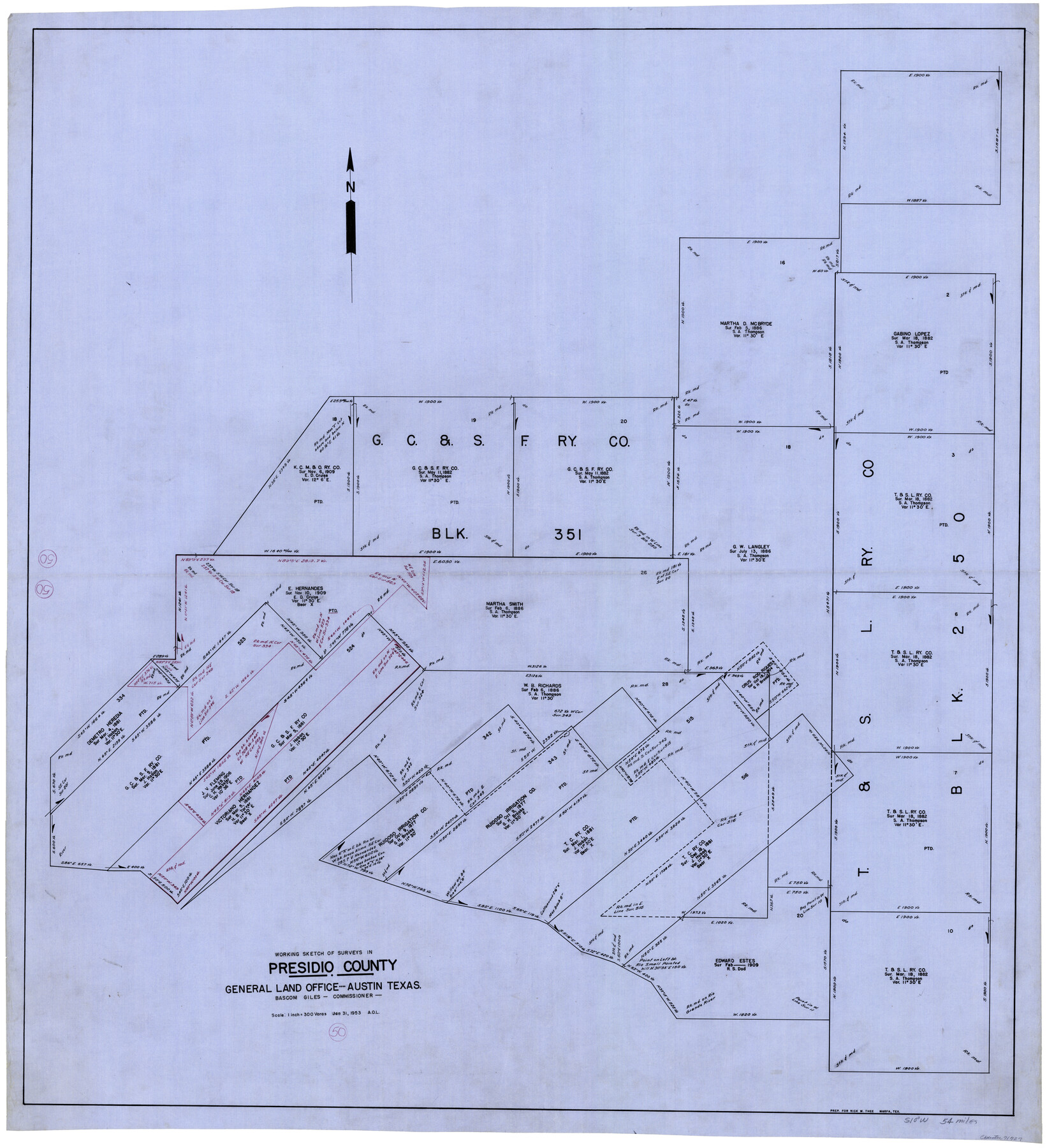
Presidio County Working Sketch 50
-
Map/Doc
71727
-
Collection
General Map Collection
-
Object Dates
1/31/1953 (Creation Date)
-
Counties
Presidio
-
Subjects
Surveying Working Sketch
-
Height x Width
45.2 x 41.5 inches
114.8 x 105.4 cm
-
Scale
1" = 300 varas
Part of: General Map Collection
Shackelford County Working Sketch 8

Print $20.00
- Digital $50.00
Shackelford County Working Sketch 8
1973
Size 31.9 x 28.7 inches
Map/Doc 63848
Hartley County

Print $40.00
- Digital $50.00
Hartley County
1902
Size 39.5 x 49.0 inches
Map/Doc 4973

Comanche County Working Sketch 14

Print $20.00
- Digital $50.00
Comanche County Working Sketch 14
1960
Size 17.9 x 23.9 inches
Map/Doc 68148
Map of University Land being a part of Block L, El Paso County, Texas

Print $20.00
- Digital $50.00
Map of University Land being a part of Block L, El Paso County, Texas
1945
Size 26.1 x 25.8 inches
Map/Doc 2423
Collingsworth County Sketch File 6

Print $4.00
- Digital $50.00
Collingsworth County Sketch File 6
1896
Size 11.4 x 9.1 inches
Map/Doc 18882

Victoria County Rolled Sketch 4C

Print $40.00
- Digital $50.00
Victoria County Rolled Sketch 4C
1963
Size 65.0 x 43.3 inches
Map/Doc 10097
Val Verde County Working Sketch 111

Print $20.00
- Digital $50.00
Val Verde County Working Sketch 111
1990
Size 40.1 x 24.8 inches
Map/Doc 72246
Val Verde County Rolled Sketch 84

Print $20.00
- Digital $50.00
Val Verde County Rolled Sketch 84
2006
Size 31.2 x 35.4 inches
Map/Doc 84802
Parker County Sketch File D

Print $4.00
- Digital $50.00
Parker County Sketch File D
Size 9.9 x 8.2 inches
Map/Doc 33514
[Beaumont, Sour Lake and Western Ry. Right of Way and Alignment - Frisco]
![64118, [Beaumont, Sour Lake and Western Ry. Right of Way and Alignment - Frisco], General Map Collection](https://historictexasmaps.com/wmedia_w700/maps/64118.tif.jpg)
Print $20.00
- Digital $50.00
[Beaumont, Sour Lake and Western Ry. Right of Way and Alignment - Frisco]
1910
Size 20.1 x 46.1 inches
Map/Doc 64118
You may also like
Newton County Boundary File 1a

Print $20.00
- Digital $50.00
Newton County Boundary File 1a
Size 36.7 x 17.8 inches
Map/Doc 57616
Carta Esferica Del Reyno De Mexico y parte de la America Setentrional, Para inteligencia de la Obra intitulada: Descubrimiento y Conquista de la America

Print $20.00
- Digital $50.00
Carta Esferica Del Reyno De Mexico y parte de la America Setentrional, Para inteligencia de la Obra intitulada: Descubrimiento y Conquista de la America
1802
Size 15.1 x 20.5 inches
Map/Doc 97410
Jack County Sketch File 18c

Print $60.00
- Digital $50.00
Jack County Sketch File 18c
Size 20.0 x 30.7 inches
Map/Doc 11828
Wheeler County Working Sketch 1

Print $40.00
- Digital $50.00
Wheeler County Working Sketch 1
1940
Size 52.5 x 28.7 inches
Map/Doc 72490
Jefferson County Rolled Sketch 21

Print $20.00
- Digital $50.00
Jefferson County Rolled Sketch 21
Size 12.6 x 12.1 inches
Map/Doc 6386
Cooke County Rolled Sketch 7

Print $20.00
- Digital $50.00
Cooke County Rolled Sketch 7
2002
Size 44.8 x 34.9 inches
Map/Doc 77525
[R. M. Thompson Block T2 and John H. Stephens Block S2 Conflict]
![91056, [R. M. Thompson Block T2 and John H. Stephens Block S2 Conflict], Twichell Survey Records](https://historictexasmaps.com/wmedia_w700/maps/91056-1.tif.jpg)
Print $20.00
- Digital $50.00
[R. M. Thompson Block T2 and John H. Stephens Block S2 Conflict]
Size 20.9 x 30.6 inches
Map/Doc 91056

El Paso County Working Sketch 45

Print $20.00
- Digital $50.00
El Paso County Working Sketch 45
1986
Size 38.0 x 27.0 inches
Map/Doc 69067
La Florida / Peruviae Avriferæ Regionis Typus / Guastecan

Print $20.00
- Digital $50.00
La Florida / Peruviae Avriferæ Regionis Typus / Guastecan
1584
Size 16.8 x 20.9 inches
Map/Doc 94100
Calhoun County Rolled Sketch 11

Print $3.00
- Digital $50.00
Calhoun County Rolled Sketch 11
1942
Size 10.9 x 16.2 inches
Map/Doc 5462
Presidio County Working Sketch 119

Print $20.00
- Digital $50.00
Presidio County Working Sketch 119
1983
Size 36.7 x 37.1 inches
Map/Doc 71796