[Surveys in Austin's Colony along the San Antonio Road and the Brazos and Yegua Rivers]
Atlas D, Sketch 40 (D-40)
D-40
-
Map/Doc
203
-
Collection
General Map Collection
-
Object Dates
1831 (Creation Date)
-
People and Organizations
[Horatio Chriesman] (Surveyor/Engineer)
-
Counties
Burleson Lee
-
Subjects
Atlas
-
Height x Width
30.8 x 19.1 inches
78.2 x 48.5 cm
-
Medium
paper, manuscript
-
Scale
1:4000
-
Comments
Conserved in 2003.
-
Features
Brazos River
Sparks Creek
Davidsons Creek
Sanantono [sic] Road
3rd Creek
2nd Creek
5th Creek
Part of: General Map Collection
[Galveston, Harrisburg & San Antonio Railroad from Cuero to Stockdale]
![64201, [Galveston, Harrisburg & San Antonio Railroad from Cuero to Stockdale], General Map Collection](https://historictexasmaps.com/wmedia_w700/maps/64201.tif.jpg)
![64201, [Galveston, Harrisburg & San Antonio Railroad from Cuero to Stockdale], General Map Collection](https://historictexasmaps.com/wmedia_w700/maps/64201.tif.jpg)
Print $20.00
- Digital $50.00
[Galveston, Harrisburg & San Antonio Railroad from Cuero to Stockdale]
1907
Size 14.3 x 34.3 inches
Map/Doc 64201
Hunt County Sketch File 14


Print $4.00
- Digital $50.00
Hunt County Sketch File 14
1851
Size 8.5 x 15.2 inches
Map/Doc 27107
Traced from Genl. Arista's map captured by the American Army under Genl. Taylor at Resaca de la Palma 9th May '46 and presented to James K. Polk, President U. States


Print $20.00
- Digital $50.00
Traced from Genl. Arista's map captured by the American Army under Genl. Taylor at Resaca de la Palma 9th May '46 and presented to James K. Polk, President U. States
1846
Size 18.2 x 27.3 inches
Map/Doc 73060
Burnet County Sketch File 41
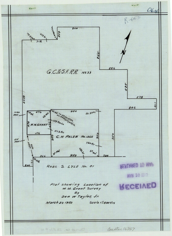

Print $8.00
- Digital $50.00
Burnet County Sketch File 41
1950
Size 11.8 x 8.6 inches
Map/Doc 16757
Flight Mission No. DAG-18K, Frame 69, Matagorda County


Print $20.00
- Digital $50.00
Flight Mission No. DAG-18K, Frame 69, Matagorda County
1952
Size 16.3 x 16.2 inches
Map/Doc 86362
Burleson County Sketch File 10
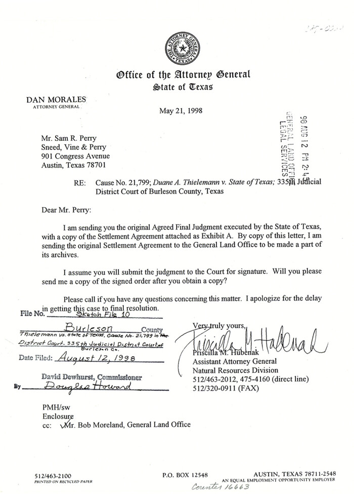

Print $14.00
- Digital $50.00
Burleson County Sketch File 10
Size 11.5 x 8.3 inches
Map/Doc 16663
Gray County Sketch File 12
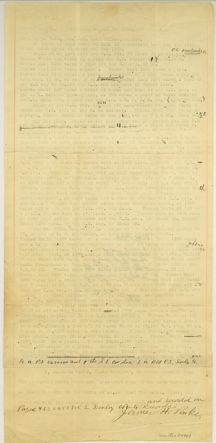

Print $6.00
- Digital $50.00
Gray County Sketch File 12
1889
Size 17.0 x 8.3 inches
Map/Doc 24454
Rockwall County Boundary File 4b
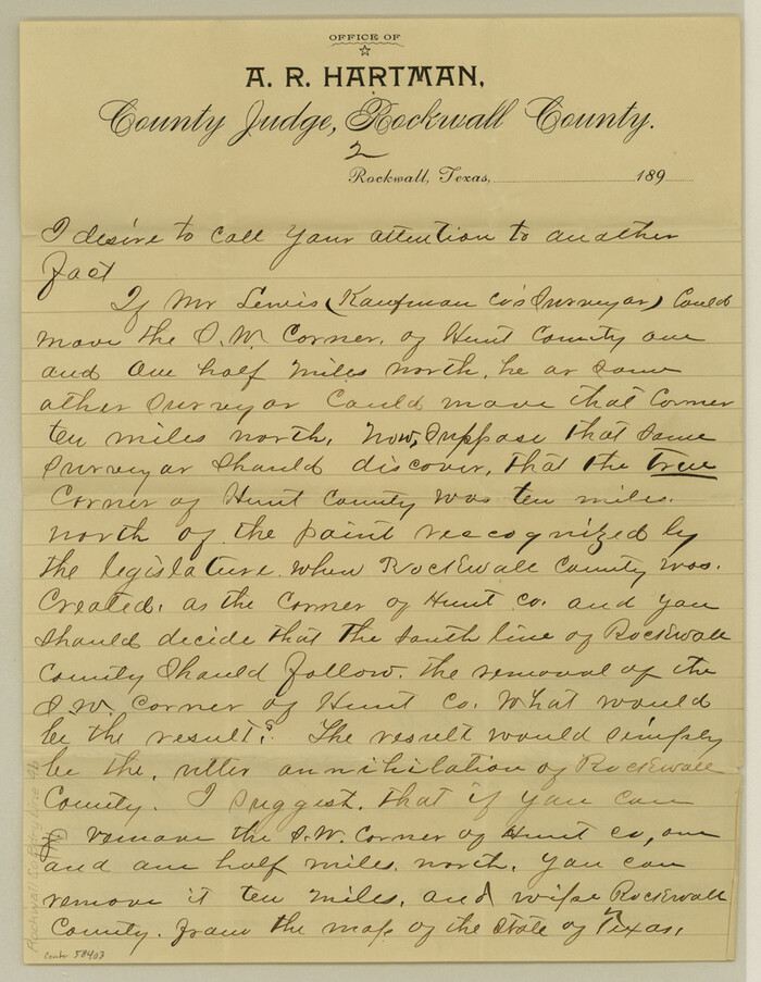

Print $10.00
- Digital $50.00
Rockwall County Boundary File 4b
Size 11.4 x 8.8 inches
Map/Doc 58403
Montague County Working Sketch 41


Print $40.00
- Digital $50.00
Montague County Working Sketch 41
1923
Size 43.0 x 66.1 inches
Map/Doc 65349
Map of Jack County


Print $20.00
- Digital $50.00
Map of Jack County
1896
Size 20.3 x 17.7 inches
Map/Doc 3699
Dickens County Sketch File 2a


Print $4.00
- Digital $50.00
Dickens County Sketch File 2a
1884
Size 14.2 x 8.9 inches
Map/Doc 20950
Hardin County Rolled Sketch 21
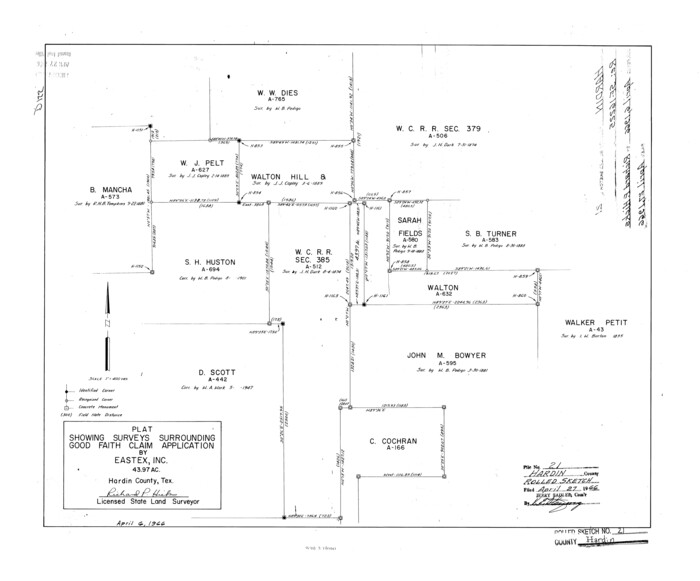

Print $20.00
- Digital $50.00
Hardin County Rolled Sketch 21
1966
Size 18.8 x 22.7 inches
Map/Doc 6090
You may also like
Llano County Boundary File 1a
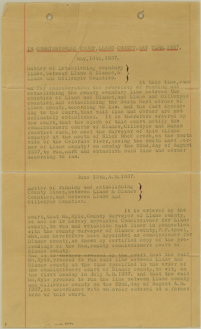

Print $44.00
- Digital $50.00
Llano County Boundary File 1a
Size 13.2 x 8.1 inches
Map/Doc 56430
Flight Mission No. CRK-3P, Frame 67, Refugio County


Print $20.00
- Digital $50.00
Flight Mission No. CRK-3P, Frame 67, Refugio County
1956
Size 18.5 x 22.3 inches
Map/Doc 86909
Dimmit County Sketch File 36


Print $6.00
- Digital $50.00
Dimmit County Sketch File 36
1894
Size 4.3 x 13.3 inches
Map/Doc 21158
Ward County Working Sketch 26
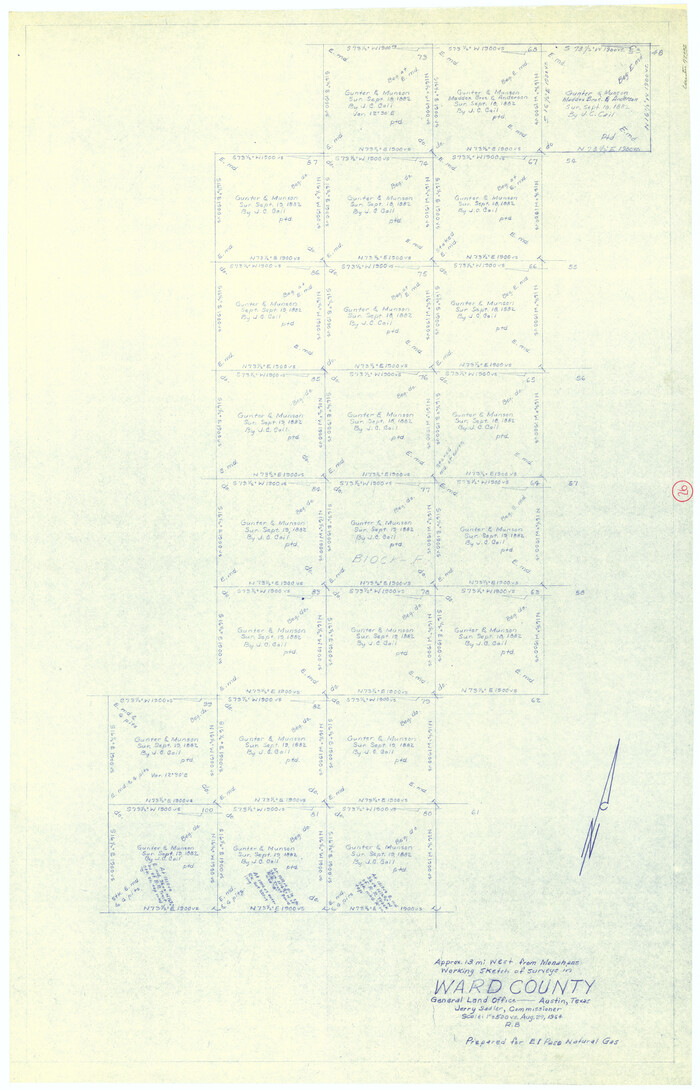

Print $20.00
- Digital $50.00
Ward County Working Sketch 26
1964
Size 38.2 x 24.5 inches
Map/Doc 72332
Louisiana and Texas Intracoastal Waterway Proposed Extension to Rio Grande Valley
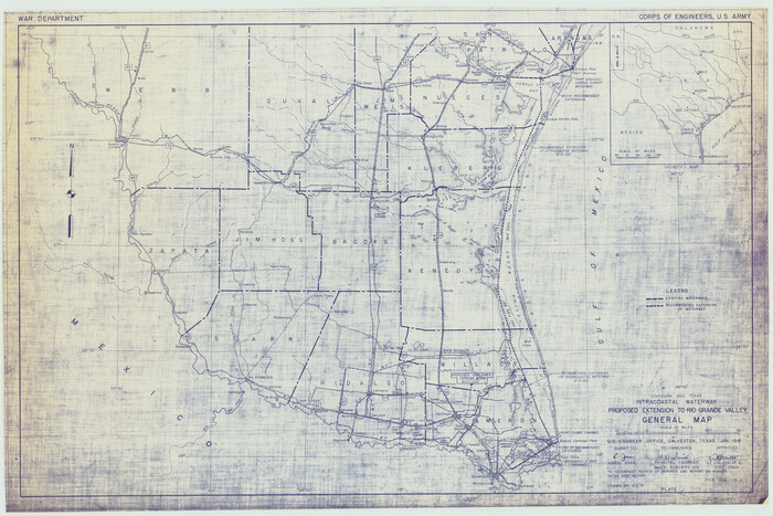

Print $20.00
- Digital $50.00
Louisiana and Texas Intracoastal Waterway Proposed Extension to Rio Grande Valley
1941
Size 22.0 x 33.0 inches
Map/Doc 61889
Childress Co.


Print $20.00
- Digital $50.00
Childress Co.
1978
Size 44.6 x 33.7 inches
Map/Doc 77237
Grayson County
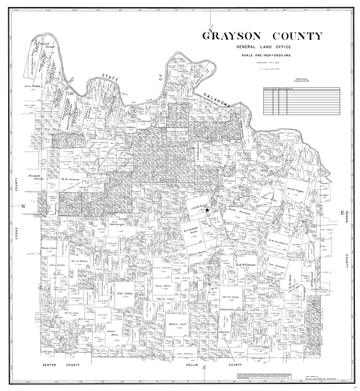

Print $20.00
- Digital $50.00
Grayson County
1935
Size 43.4 x 40.5 inches
Map/Doc 95512
Hall County Sketch File A
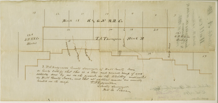

Print $6.00
- Digital $50.00
Hall County Sketch File A
Size 8.0 x 16.9 inches
Map/Doc 24778
Reagan County Rolled Sketch 19


Print $20.00
- Digital $50.00
Reagan County Rolled Sketch 19
1939
Size 24.0 x 20.5 inches
Map/Doc 7445
Dallam County Sketch File 10


Print $20.00
- Digital $50.00
Dallam County Sketch File 10
1925
Size 7.2 x 8.6 inches
Map/Doc 20367
Crawford Farm S 1/2 Section 59, Block A
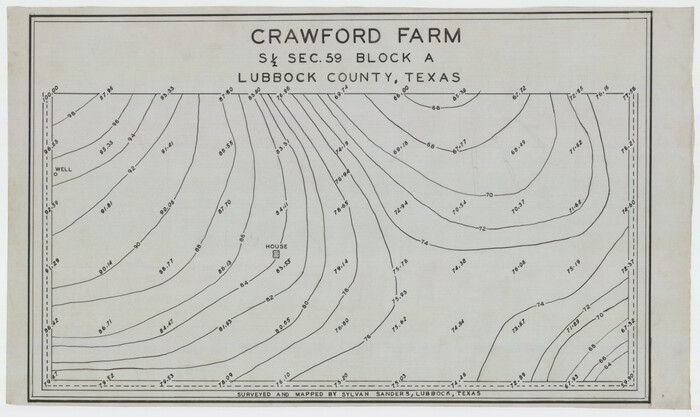

Print $3.00
- Digital $50.00
Crawford Farm S 1/2 Section 59, Block A
Size 16.5 x 9.9 inches
Map/Doc 92337
Flight Mission No. BRA-7M, Frame 6, Jefferson County
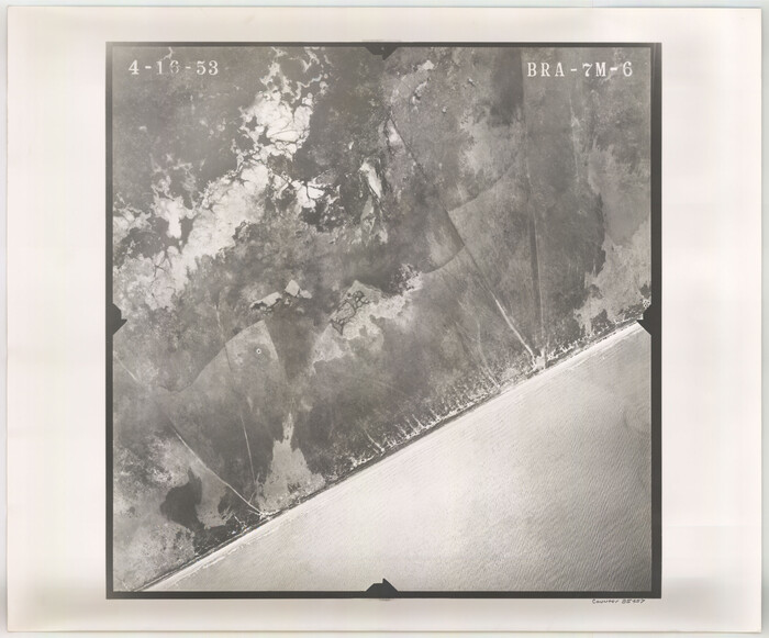

Print $20.00
- Digital $50.00
Flight Mission No. BRA-7M, Frame 6, Jefferson County
1953
Size 18.5 x 22.3 inches
Map/Doc 85457
![203, [Surveys in Austin's Colony along the San Antonio Road and the Brazos and Yegua Rivers], General Map Collection](https://historictexasmaps.com/wmedia_w1800h1800/maps/203.tif.jpg)