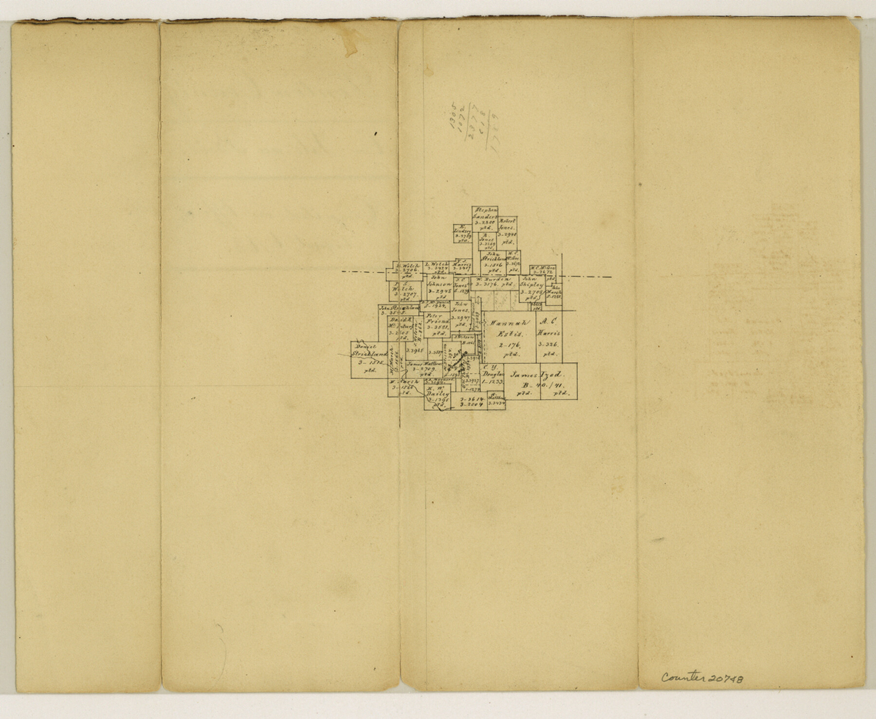
Denton County Sketch File 23
[Sketch on Isle au Bois]
-
Map/Doc
20748
-
Collection
General Map Collection
-
Object Dates
1862/8/6 (Creation Date)
-
Counties
Denton Cooke
-
Subjects
Surveying Sketch File
-
Height x Width
9.3 x 11.4 inches
23.6 x 29.0 cm
-
Medium
paper, manuscript
Part of: General Map Collection
Flight Mission No. BQY-4M, Frame 57, Harris County

Print $20.00
- Digital $50.00
Flight Mission No. BQY-4M, Frame 57, Harris County
1953
Size 18.5 x 22.3 inches
Map/Doc 85266
Jefferson Co.

Print $20.00
- Digital $50.00
Jefferson Co.
1918
Size 46.7 x 40.8 inches
Map/Doc 16860
Maps of Gulf Intracoastal Waterway, Texas - Sabine River to the Rio Grande and connecting waterways including ship channels

Print $20.00
- Digital $50.00
Maps of Gulf Intracoastal Waterway, Texas - Sabine River to the Rio Grande and connecting waterways including ship channels
1966
Size 14.5 x 22.2 inches
Map/Doc 61964
Harrison County Sketch File 17

Print $4.00
- Digital $50.00
Harrison County Sketch File 17
1874
Size 8.8 x 10.5 inches
Map/Doc 26059

Flight Mission No. DCL-6C, Frame 122, Kenedy County

Print $20.00
- Digital $50.00
Flight Mission No. DCL-6C, Frame 122, Kenedy County
1943
Size 18.5 x 22.4 inches
Map/Doc 85952
Flight Mission No. DCL-7C, Frame 121, Kenedy County

Print $20.00
- Digital $50.00
Flight Mission No. DCL-7C, Frame 121, Kenedy County
1943
Size 18.5 x 22.3 inches
Map/Doc 86086
Childress County Rolled Sketch 9

Print $20.00
- Digital $50.00
Childress County Rolled Sketch 9
Size 19.3 x 22.9 inches
Map/Doc 5446
Archer County Sketch File 19

Print $40.00
- Digital $50.00
Archer County Sketch File 19
1902
Size 23.8 x 26.8 inches
Map/Doc 10829
Marion County Rolled Sketch 4

Print $40.00
- Digital $50.00
Marion County Rolled Sketch 4
1951
Size 43.1 x 58.0 inches
Map/Doc 9491
Chambers County NRC Article 33.136 Sketch 13

Print $22.00
Chambers County NRC Article 33.136 Sketch 13
Size 35.9 x 23.2 inches
Map/Doc 97014
Red River County Working Sketch 36

Print $20.00
- Digital $50.00
Red River County Working Sketch 36
1964
Size 42.4 x 42.7 inches
Map/Doc 72019
You may also like
Austin Street Map & Guide

Digital $50.00
Austin Street Map & Guide
Size 35.4 x 23.1 inches
Map/Doc 94435
East Part of Edwards County

Print $20.00
- Digital $50.00
East Part of Edwards County
1975
Size 39.7 x 28.5 inches
Map/Doc 77270
Flight Mission No. BRA-3M, Frame 200, Jefferson County

Print $20.00
- Digital $50.00
Flight Mission No. BRA-3M, Frame 200, Jefferson County
1953
Size 18.5 x 22.4 inches
Map/Doc 85415
Anderson County Sketch File 16

Print $6.00
- Digital $50.00
Anderson County Sketch File 16
1849
Size 8.6 x 6.5 inches
Map/Doc 12783
Somervell County

Print $20.00
- Digital $50.00
Somervell County
1941
Size 27.5 x 26.7 inches
Map/Doc 63042
Flight Mission No. DAH-17M, Frame 26, Orange County

Print $20.00
- Digital $50.00
Flight Mission No. DAH-17M, Frame 26, Orange County
1953
Size 18.3 x 22.3 inches
Map/Doc 86889
[Surveys in the Bexar District along the Balcones, Cibolo and Leon Creeks]
![63, [Surveys in the Bexar District along the Balcones, Cibolo and Leon Creeks], General Map Collection](https://historictexasmaps.com/wmedia_w700/maps/63.tif.jpg)
Print $3.00
- Digital $50.00
[Surveys in the Bexar District along the Balcones, Cibolo and Leon Creeks]
1842
Size 10.6 x 12.4 inches
Map/Doc 63
Tyler County Sketch File 9

Print $4.00
- Digital $50.00
Tyler County Sketch File 9
Size 8.6 x 6.7 inches
Map/Doc 38644
Carte de la Louisiane et du Cours du Mississipi

Print $20.00
- Digital $50.00
Carte de la Louisiane et du Cours du Mississipi
1718
Size 21.7 x 28.6 inches
Map/Doc 95161
Milam County Working Sketch 12

Print $40.00
- Digital $50.00
Milam County Working Sketch 12
Size 44.3 x 56.4 inches
Map/Doc 71027
San Augustine County Working Sketch 24

Print $20.00
- Digital $50.00
San Augustine County Working Sketch 24
1975
Size 27.8 x 39.1 inches
Map/Doc 63712
Martha's Vineyard to Block Island Including Western Approach to Cape Cod Canal

Print $20.00
- Digital $50.00
Martha's Vineyard to Block Island Including Western Approach to Cape Cod Canal
1963
Size 37.5 x 45.7 inches
Map/Doc 73554