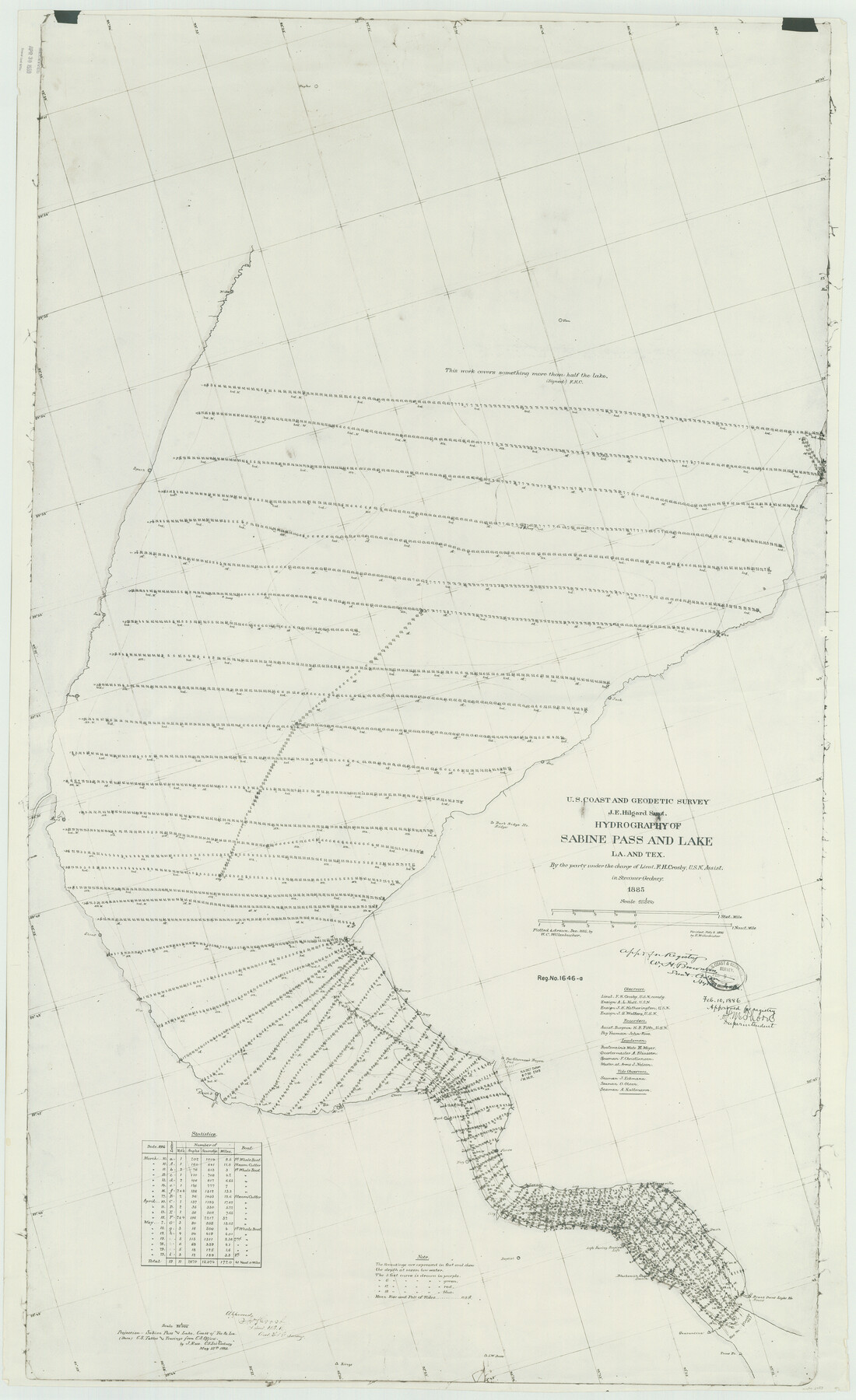
Hydrography of Sabine Pass and Lake, La. And Tex.
N-2-58a
-
Map/Doc
2085
-
Collection
General Map Collection
-
Object Dates
1885 (Creation Date)
-
People and Organizations
U. S. Coast and Geodetic Survey (Author)
W.C. Willenbucher (Compiler)
W.C. Willenbucher (Draftsman)
-
Counties
Jefferson
-
Subjects
Nautical Charts
-
Height x Width
53.2 x 32.5 inches
135.1 x 82.6 cm
Part of: General Map Collection
Runnels County Rolled Sketch 23

Print $20.00
- Digital $50.00
Runnels County Rolled Sketch 23
Size 21.8 x 27.0 inches
Map/Doc 7514
Brewster County Sketch File FN-31

Print $4.00
- Digital $50.00
Brewster County Sketch File FN-31
1975
Size 11.3 x 8.8 inches
Map/Doc 15852
Map of the Lands Surveyed by the Memphis, El Paso & Pacific R.R. Company

Print $20.00
- Digital $50.00
Map of the Lands Surveyed by the Memphis, El Paso & Pacific R.R. Company
1860
Size 17.7 x 21.7 inches
Map/Doc 4851
Galveston County Sketch File 61

Print $24.00
- Digital $50.00
Galveston County Sketch File 61
1988
Size 11.3 x 8.7 inches
Map/Doc 23653
Menard County Sketch File 26

Print $8.00
- Digital $50.00
Menard County Sketch File 26
1936
Size 8.7 x 14.3 inches
Map/Doc 31560
Hamilton County Sketch File 10 1/2

Print $44.00
- Digital $50.00
Hamilton County Sketch File 10 1/2
1876
Size 9.2 x 8.3 inches
Map/Doc 24931
Flight Mission No. BRA-6M, Frame 80, Jefferson County

Print $20.00
- Digital $50.00
Flight Mission No. BRA-6M, Frame 80, Jefferson County
1953
Size 18.6 x 22.3 inches
Map/Doc 85424
San Patricio County Rolled Sketch BB

Print $40.00
- Digital $50.00
San Patricio County Rolled Sketch BB
1936
Size 25.0 x 49.0 inches
Map/Doc 9889
Matagorda County Sketch File 7b

Print $4.00
- Digital $50.00
Matagorda County Sketch File 7b
1890
Size 14.2 x 8.8 inches
Map/Doc 30744
Uvalde County Working Sketch 29

Print $20.00
- Digital $50.00
Uvalde County Working Sketch 29
1958
Size 25.3 x 41.0 inches
Map/Doc 72099
Travis County State Real Property Sketch 5

Print $20.00
- Digital $50.00
Travis County State Real Property Sketch 5
1990
Size 25.4 x 37.5 inches
Map/Doc 61696
Uvalde County Sketch File 15

Print $6.00
- Digital $50.00
Uvalde County Sketch File 15
1849
Size 8.8 x 11.5 inches
Map/Doc 38985
You may also like
Freestone County Sketch File 26

Print $22.00
- Digital $50.00
Freestone County Sketch File 26
1880
Size 8.2 x 13.2 inches
Map/Doc 23096

Galveston County Sketch File 45

Print $20.00
- Digital $50.00
Galveston County Sketch File 45
1930
Size 19.5 x 23.2 inches
Map/Doc 11540
Health Wealth and Happiness in the Texas Panhandle

Health Wealth and Happiness in the Texas Panhandle
1906
Map/Doc 96753
Pecos County Sketch File 40

Print $30.00
- Digital $50.00
Pecos County Sketch File 40
1919
Size 14.6 x 9.2 inches
Map/Doc 33722
[Map Showing Capitol Lands]
![93198, [Map Showing Capitol Lands], Twichell Survey Records](https://historictexasmaps.com/wmedia_w700/maps/93198-1.tif.jpg)
Print $40.00
- Digital $50.00
[Map Showing Capitol Lands]
Size 43.9 x 104.8 inches
Map/Doc 93198
Flight Mission No. BQR-20K, Frame 12, Brazoria County

Print $20.00
- Digital $50.00
Flight Mission No. BQR-20K, Frame 12, Brazoria County
1952
Size 18.6 x 22.4 inches
Map/Doc 84114
Public Land on Mustang Island, Nueces County

Print $20.00
- Digital $50.00
Public Land on Mustang Island, Nueces County
1910
Size 17.0 x 17.5 inches
Map/Doc 1997
King County Boundary File 4

Print $58.00
- Digital $50.00
King County Boundary File 4
Size 14.1 x 8.7 inches
Map/Doc 64905
Hutchinson County Working Sketch 21

Print $20.00
- Digital $50.00
Hutchinson County Working Sketch 21
1965
Size 35.0 x 40.8 inches
Map/Doc 66381
Flight Mission No. BRA-7M, Frame 82, Jefferson County

Print $20.00
- Digital $50.00
Flight Mission No. BRA-7M, Frame 82, Jefferson County
1953
Size 16.1 x 15.9 inches
Map/Doc 85504
Martin County Boundary File 2a

Print $6.00
- Digital $50.00
Martin County Boundary File 2a
Size 14.1 x 8.8 inches
Map/Doc 56776