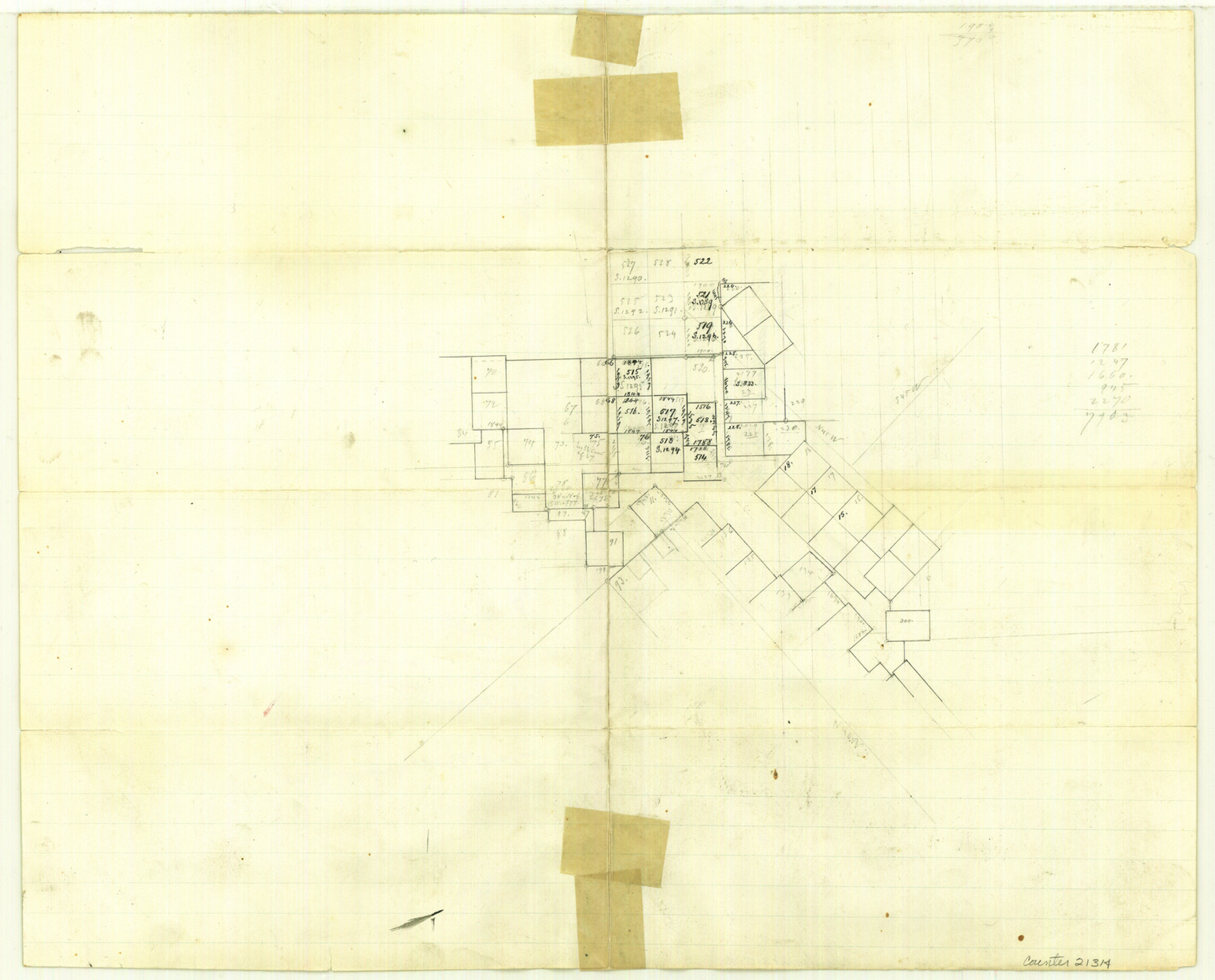
Duval County Sketch File 18
[Sketch around section 517]
-
Map/Doc
21314
-
Collection
General Map Collection
-
Counties
Duval
-
Subjects
Surveying Sketch File
-
Height x Width
12.7 x 15.8 inches
32.3 x 40.1 cm
-
Medium
paper, manuscript
Part of: General Map Collection
[Surveys in Power and Hewetson's Colony]
![2, [Surveys in Power and Hewetson's Colony], General Map Collection](https://historictexasmaps.com/wmedia_w700/maps/2.tif.jpg)
Print $20.00
- Digital $50.00
[Surveys in Power and Hewetson's Colony]
1830
Size 21.3 x 22.5 inches
Map/Doc 2
Zapata County Working Sketch 23

Print $20.00
- Digital $50.00
Zapata County Working Sketch 23
1982
Size 45.8 x 42.9 inches
Map/Doc 62074

San Augustine County Sketch File 23

Print $12.00
San Augustine County Sketch File 23
1992
Size 14.5 x 9.0 inches
Map/Doc 35689
Flight Mission No. DQN-1K, Frame 70, Calhoun County

Print $20.00
- Digital $50.00
Flight Mission No. DQN-1K, Frame 70, Calhoun County
1953
Size 18.6 x 22.3 inches
Map/Doc 84157
Map of Anderson County

Print $20.00
- Digital $50.00
Map of Anderson County
1895
Size 40.9 x 45.4 inches
Map/Doc 4784

Leon County Working Sketch 43

Print $40.00
- Digital $50.00
Leon County Working Sketch 43
1980
Size 55.1 x 38.0 inches
Map/Doc 70442
Hardin County Working Sketch 15

Print $20.00
- Digital $50.00
Hardin County Working Sketch 15
1939
Size 21.1 x 34.6 inches
Map/Doc 63413
Culberson County Sketch File 17

Print $10.00
- Digital $50.00
Culberson County Sketch File 17
1932
Size 11.2 x 8.8 inches
Map/Doc 20180
McMullen County

Print $20.00
- Digital $50.00
McMullen County
1967
Size 40.7 x 27.8 inches
Map/Doc 77363
Houston Dis. Cochino Bayou

Print $2.00
- Digital $50.00
Houston Dis. Cochino Bayou
1847
Size 11.3 x 8.2 inches
Map/Doc 184
You may also like
Colorado County Working Sketch 4

Print $20.00
- Digital $50.00
Colorado County Working Sketch 4
1913
Size 23.2 x 16.9 inches
Map/Doc 68104
Flight Mission No. CUG-3P, Frame 194, Kleberg County

Print $20.00
- Digital $50.00
Flight Mission No. CUG-3P, Frame 194, Kleberg County
1956
Size 18.4 x 22.2 inches
Map/Doc 86298
University of Texas System University Lands

Print $20.00
- Digital $50.00
University of Texas System University Lands
Size 23.1 x 17.5 inches
Map/Doc 93238
Flight Mission No. BQY-4M, Frame 60, Harris County

Print $20.00
- Digital $50.00
Flight Mission No. BQY-4M, Frame 60, Harris County
1953
Size 18.6 x 22.3 inches
Map/Doc 85269
Cass County Rolled Sketch 8

Print $20.00
- Digital $50.00
Cass County Rolled Sketch 8
Size 28.8 x 17.6 inches
Map/Doc 77522
Anderson County Sketch File 8

Print $4.00
- Digital $50.00
Anderson County Sketch File 8
1848
Size 5.8 x 8.0 inches
Map/Doc 12759
Flight Mission No. BRA-8M, Frame 70, Jefferson County

Print $20.00
- Digital $50.00
Flight Mission No. BRA-8M, Frame 70, Jefferson County
1953
Size 18.6 x 22.3 inches
Map/Doc 85590
Palo Pinto County Working Sketch 8

Print $20.00
- Digital $50.00
Palo Pinto County Working Sketch 8
1922
Map/Doc 71391
Throckmorton County Working Sketch 9

Print $20.00
- Digital $50.00
Throckmorton County Working Sketch 9
1963
Size 25.2 x 35.8 inches
Map/Doc 62118
Flight Mission No. BRA-3M, Frame 191, Jefferson County

Print $20.00
- Digital $50.00
Flight Mission No. BRA-3M, Frame 191, Jefferson County
1953
Size 18.6 x 22.3 inches
Map/Doc 85406
The Republic County of Rusk. February 1, 1845

Print $20.00
The Republic County of Rusk. February 1, 1845
2020
Size 19.1 x 21.7 inches
Map/Doc 96267
Deaf Smith County

Print $20.00
- Digital $50.00
Deaf Smith County
1888
Size 28.7 x 19.8 inches
Map/Doc 90598