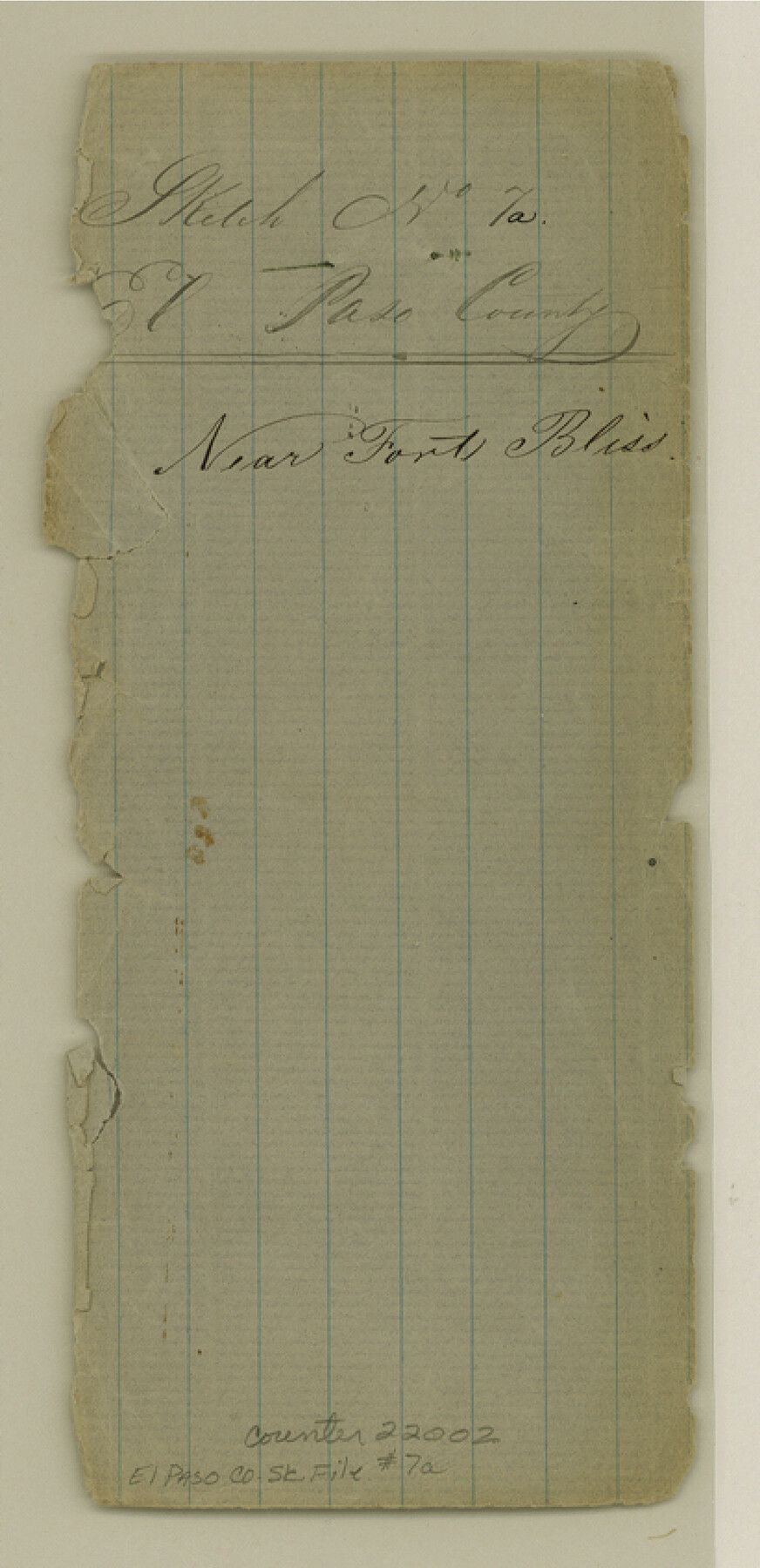
El Paso County Sketch File 7a
[Sketch of surveys near Fort Bliss]
-
Map/Doc
22002
-
Collection
General Map Collection
-
Counties
El Paso
-
Subjects
Surveying Sketch File
-
Height x Width
8.5 x 4.1 inches
21.6 x 10.4 cm
-
Medium
paper, manuscript
-
Features
[Fort Bliss]
Part of: General Map Collection
Flight Mission No. BRA-16M, Frame 52, Jefferson County

Print $20.00
- Digital $50.00
Flight Mission No. BRA-16M, Frame 52, Jefferson County
1953
Size 18.5 x 22.6 inches
Map/Doc 85669
Lampasas County Boundary File 1

Print $4.00
- Digital $50.00
Lampasas County Boundary File 1
Size 10.2 x 8.2 inches
Map/Doc 56093
San Patricio County Sketch File 6

Print $4.00
- Digital $50.00
San Patricio County Sketch File 6
Size 8.7 x 5.5 inches
Map/Doc 36035
Mitchell County Boundary File 66

Print $13.00
- Digital $50.00
Mitchell County Boundary File 66
Size 7.9 x 3.7 inches
Map/Doc 57372
Pecos County Rolled Sketch 82

Print $20.00
- Digital $50.00
Pecos County Rolled Sketch 82
1930
Size 29.0 x 26.4 inches
Map/Doc 10192
Flight Mission No. DQN-3K, Frame 65, Calhoun County

Print $20.00
- Digital $50.00
Flight Mission No. DQN-3K, Frame 65, Calhoun County
1953
Size 16.2 x 16.1 inches
Map/Doc 84356
Glasscock County Sketch File 5

Print $20.00
- Digital $50.00
Glasscock County Sketch File 5
1929
Size 23.0 x 22.7 inches
Map/Doc 11561
Flight Mission No. DQN-5K, Frame 24, Calhoun County

Print $20.00
- Digital $50.00
Flight Mission No. DQN-5K, Frame 24, Calhoun County
1953
Size 18.5 x 22.1 inches
Map/Doc 84375
Brazoria County Rolled Sketch 38

Print $20.00
- Digital $50.00
Brazoria County Rolled Sketch 38
1949
Size 44.6 x 39.5 inches
Map/Doc 8460
Galveston County Rolled Sketch 44

Print $2.00
- Digital $50.00
Galveston County Rolled Sketch 44
Size 17.6 x 11.3 inches
Map/Doc 5976
Atascosa County Sketch File 28

Print $40.00
- Digital $50.00
Atascosa County Sketch File 28
1878
Size 27.9 x 21.7 inches
Map/Doc 10862
Flight Mission No. DQO-8K, Frame 64, Galveston County

Print $20.00
- Digital $50.00
Flight Mission No. DQO-8K, Frame 64, Galveston County
1952
Size 18.6 x 22.4 inches
Map/Doc 85168
You may also like

Yoakum County Rolled Sketch 4

Print $20.00
- Digital $50.00
Yoakum County Rolled Sketch 4
Size 19.1 x 24.9 inches
Map/Doc 8289
Kimble County Sketch File 11

Print $40.00
- Digital $50.00
Kimble County Sketch File 11
1882
Size 20.5 x 10.2 inches
Map/Doc 28933
Edwards County Rolled Sketch 30

Print $20.00
- Digital $50.00
Edwards County Rolled Sketch 30
1980
Size 31.6 x 44.0 inches
Map/Doc 8848
Duval County Sketch File 4a

Print $6.00
- Digital $50.00
Duval County Sketch File 4a
1875
Size 13.3 x 10.8 inches
Map/Doc 21280
[Texas & Pacific Railway through Callahan County]
![64231, [Texas & Pacific Railway through Callahan County], General Map Collection](https://historictexasmaps.com/wmedia_w700/maps/64231.tif.jpg)
Print $20.00
- Digital $50.00
[Texas & Pacific Railway through Callahan County]
1918
Size 21.2 x 9.5 inches
Map/Doc 64231
Kinney County Rolled Sketch 12

Print $20.00
- Digital $50.00
Kinney County Rolled Sketch 12
1947
Size 29.2 x 38.9 inches
Map/Doc 6541
Map of Lake Travis with detailed maps of Lakeway, Briarcliff, Lago Vista, Highland Lake Estates

Map of Lake Travis with detailed maps of Lakeway, Briarcliff, Lago Vista, Highland Lake Estates
Size 23.0 x 35.3 inches
Map/Doc 94374
Texas Gulf Coast Map from the Sabine River to the Rio Grande as subdivided for mineral development

Print $20.00
- Digital $50.00
Texas Gulf Coast Map from the Sabine River to the Rio Grande as subdivided for mineral development
1948
Size 45.0 x 39.9 inches
Map/Doc 2911

Medina County Rolled Sketch 16

Print $20.00
- Digital $50.00
Medina County Rolled Sketch 16
1984
Size 44.4 x 38.0 inches
Map/Doc 9507
Floyd County Boundary File 4a

Print $40.00
- Digital $50.00
Floyd County Boundary File 4a
Size 12.2 x 35.8 inches
Map/Doc 53496