[Surveys along the San Antonio Road and Cottonwood Creek]
Atlas G, Page 2, Sketch 28 (G-2-28)
G-2-28
-
Map/Doc
233
-
Collection
General Map Collection
-
Object Dates
1847 (Creation Date)
-
People and Organizations
Howell H. Bingham (Draftsman)
-
Counties
Bexar
-
Subjects
Atlas
-
Height x Width
9.1 x 8.3 inches
23.1 x 21.1 cm
-
Medium
paper, manuscript
-
Scale
1:4000
-
Comments
Conserved in 2004.
-
Features
Cotton Wood Creek
Rio Medina
Part of: General Map Collection
Marion County Working Sketch 17
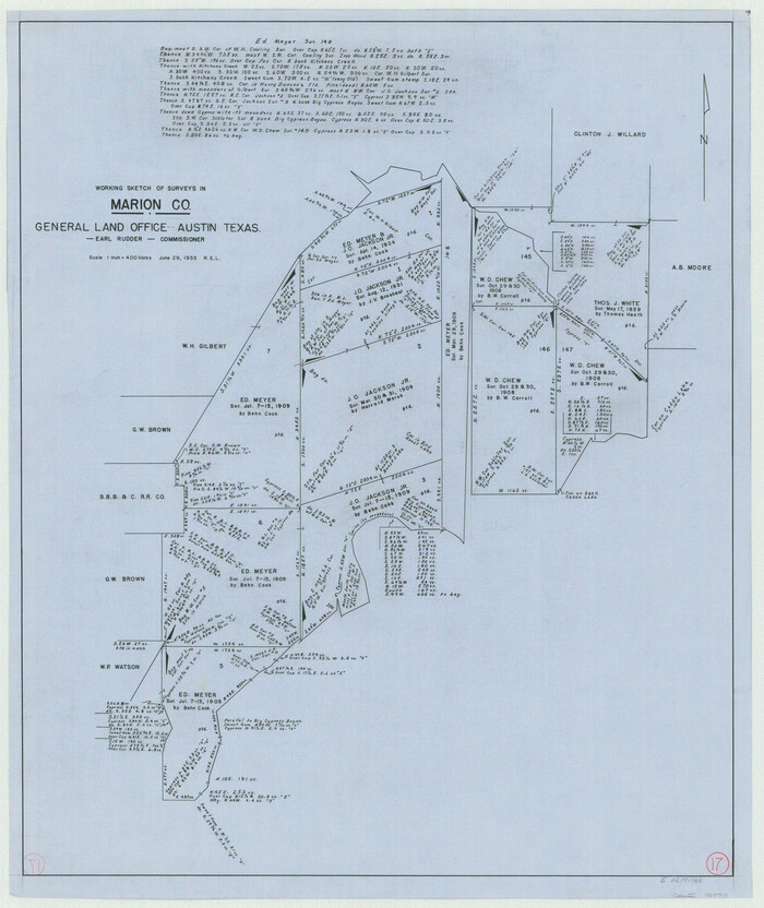

Print $20.00
- Digital $50.00
Marion County Working Sketch 17
1955
Size 31.1 x 26.1 inches
Map/Doc 70793
Terrell County Sketch File 16
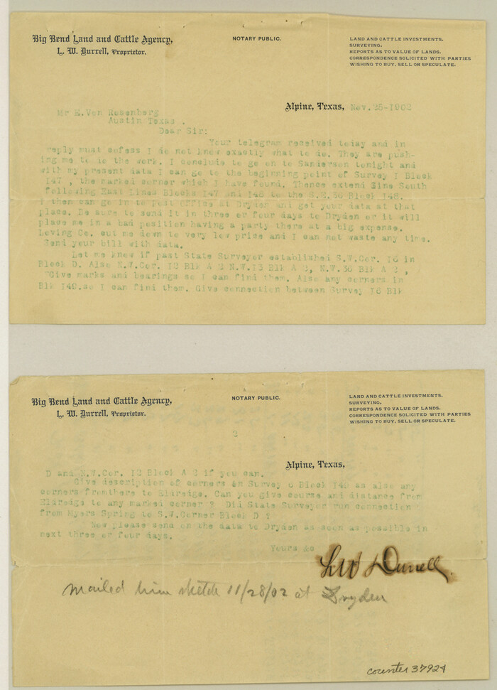

Print $24.00
- Digital $50.00
Terrell County Sketch File 16
1902
Size 12.1 x 8.8 inches
Map/Doc 37924
Leon County Rolled Sketch 23
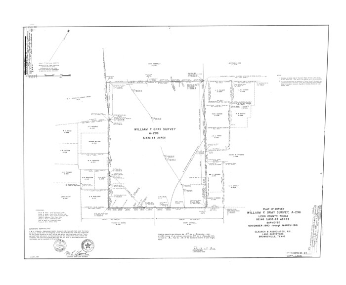

Print $20.00
- Digital $50.00
Leon County Rolled Sketch 23
1981
Size 33.6 x 40.7 inches
Map/Doc 6609
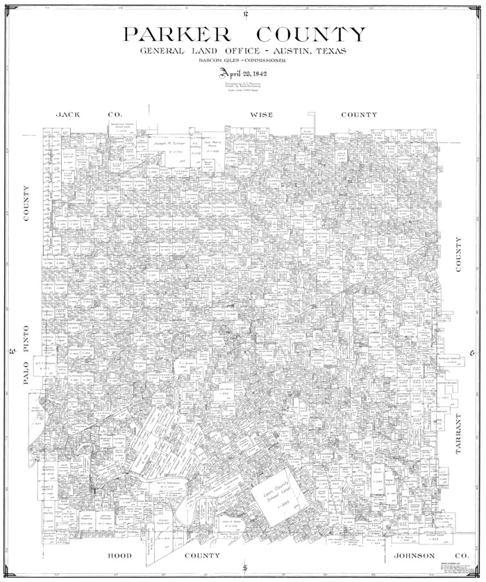
Parker County

Print $20.00
- Digital $50.00
Parker County
1942
Size 42.4 x 35.5 inches
Map/Doc 77391
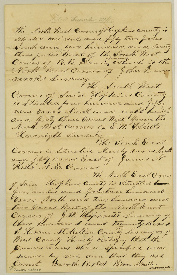
Hopkins County Boundary File 2

Print $4.00
- Digital $50.00
Hopkins County Boundary File 2
Size 12.5 x 8.1 inches
Map/Doc 55057
Flight Mission No. DQN-5K, Frame 48, Calhoun County


Print $20.00
- Digital $50.00
Flight Mission No. DQN-5K, Frame 48, Calhoun County
1953
Size 18.7 x 22.2 inches
Map/Doc 84393
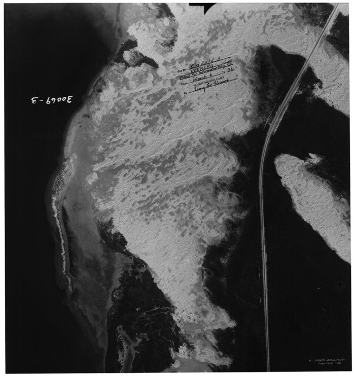
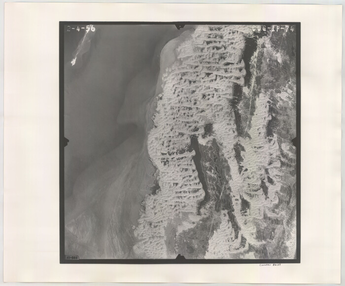
Flight Mission No. CUG-1P, Frame 74, Kleberg County

Print $20.00
- Digital $50.00
Flight Mission No. CUG-1P, Frame 74, Kleberg County
1956
Size 18.5 x 22.3 inches
Map/Doc 86139
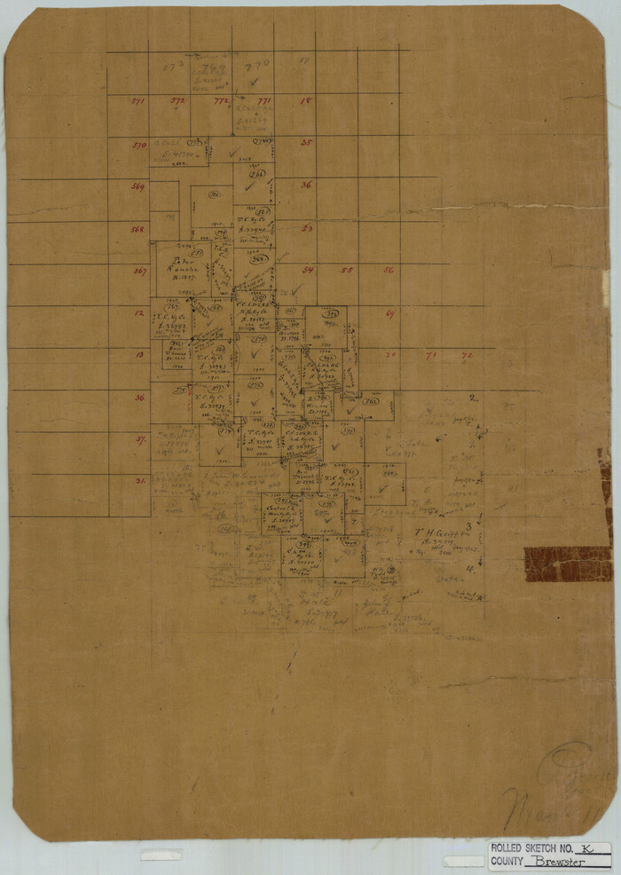
Brewster County Rolled Sketch K

Print $20.00
- Digital $50.00
Brewster County Rolled Sketch K
1884
Size 19.6 x 13.9 inches
Map/Doc 5321
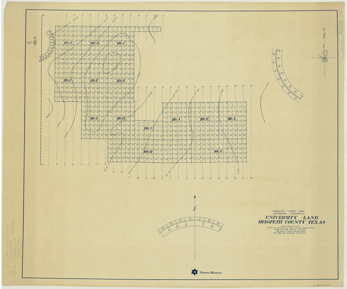
Isogonic Chart and Meridian Changes, University Land, Hudspeth County, Texas

Print $20.00
- Digital $50.00
Isogonic Chart and Meridian Changes, University Land, Hudspeth County, Texas
Size 28.5 x 34.1 inches
Map/Doc 62953
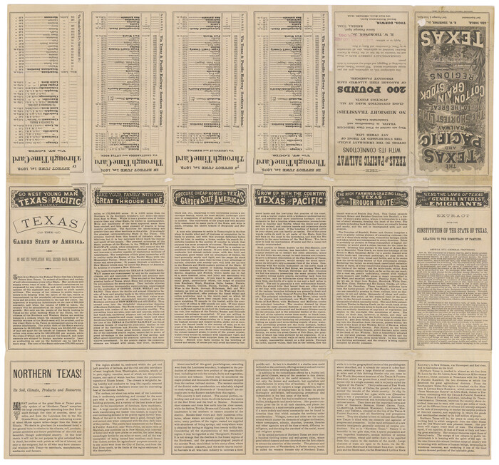
A Geographically Correct Map of the State of Texas

Print $20.00
- Digital $50.00
A Geographically Correct Map of the State of Texas
1876
Size 20.4 x 21.9 inches
Map/Doc 95362
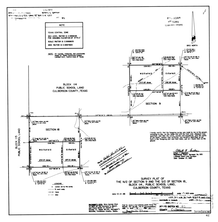
Culberson County Rolled Sketch 62

Print $20.00
- Digital $50.00
Culberson County Rolled Sketch 62
1985
Size 20.8 x 20.5 inches
Map/Doc 5678
You may also like
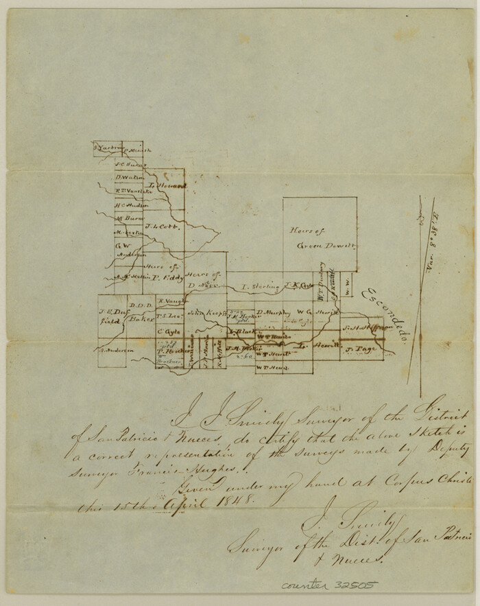
Nueces County Sketch File 4

Print $4.00
- Digital $50.00
Nueces County Sketch File 4
1848
Size 10.1 x 8.0 inches
Map/Doc 32505
Webb County Boundary File 7
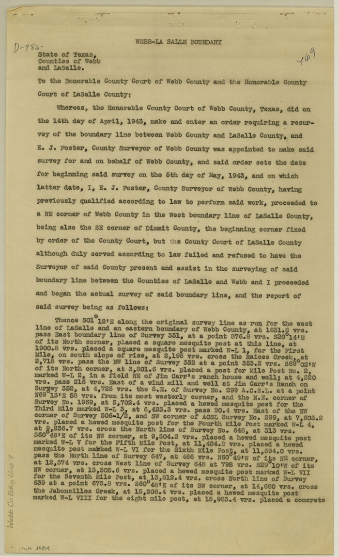

Print $98.00
- Digital $50.00
Webb County Boundary File 7
Size 14.2 x 8.7 inches
Map/Doc 59809
Flight Mission No. DQN-1K, Frame 106, Calhoun County
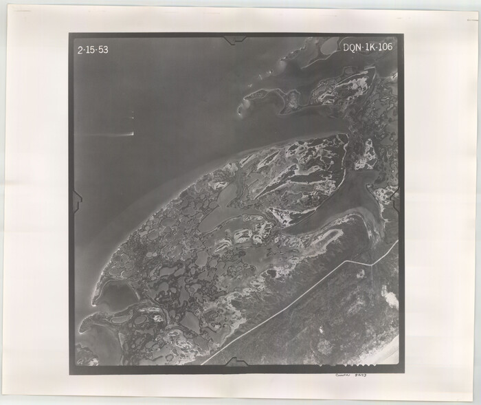

Print $20.00
- Digital $50.00
Flight Mission No. DQN-1K, Frame 106, Calhoun County
1953
Size 18.8 x 22.3 inches
Map/Doc 84173
Harris County Working Sketch 116
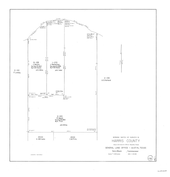

Print $20.00
- Digital $50.00
Harris County Working Sketch 116
1983
Size 24.2 x 23.3 inches
Map/Doc 66008
Real County Rolled Sketch 18


Print $20.00
- Digital $50.00
Real County Rolled Sketch 18
Size 22.0 x 28.0 inches
Map/Doc 7463
The University of Texas at Austin


The University of Texas at Austin
Size 16.1 x 17.1 inches
Map/Doc 94387
Childress County Working Sketch 2
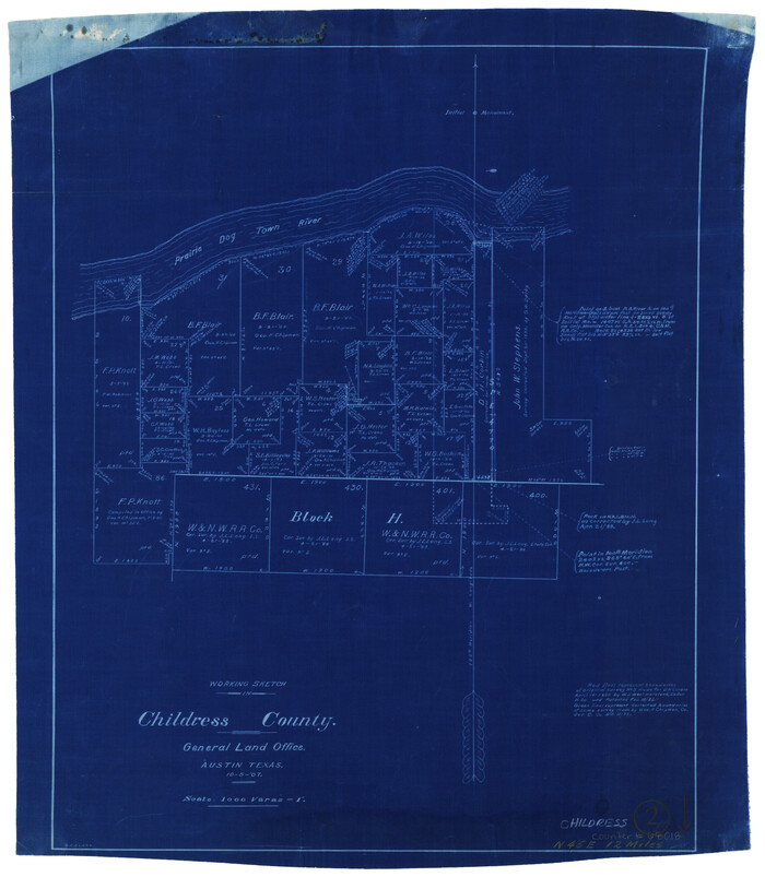

Print $20.00
- Digital $50.00
Childress County Working Sketch 2
1907
Size 17.1 x 14.9 inches
Map/Doc 68018
Flight Mission No. DQN-3K, Frame 9, Calhoun County


Print $20.00
- Digital $50.00
Flight Mission No. DQN-3K, Frame 9, Calhoun County
1953
Size 18.6 x 22.2 inches
Map/Doc 84341
Flight Mission No. CLL-3N, Frame 31, Willacy County
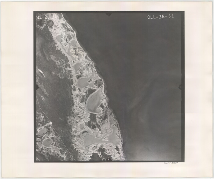

Print $20.00
- Digital $50.00
Flight Mission No. CLL-3N, Frame 31, Willacy County
1954
Size 18.5 x 22.2 inches
Map/Doc 87087
[Surveys East of river copied from U.S. map of Township No. 6 South, Range No. 9 West of the Indian Meridian, Oklahoma]
![75185, [Surveys East of river copied from U.S. map of Township No. 6 South, Range No. 9 West of the Indian Meridian, Oklahoma], General Map Collection](https://historictexasmaps.com/wmedia_w700/maps/75185.tif.jpg)
![75185, [Surveys East of river copied from U.S. map of Township No. 6 South, Range No. 9 West of the Indian Meridian, Oklahoma], General Map Collection](https://historictexasmaps.com/wmedia_w700/maps/75185.tif.jpg)
Print $2.00
- Digital $50.00
[Surveys East of river copied from U.S. map of Township No. 6 South, Range No. 9 West of the Indian Meridian, Oklahoma]
Size 13.3 x 9.0 inches
Map/Doc 75185
![233, [Surveys along the San Antonio Road and Cottonwood Creek], General Map Collection](https://historictexasmaps.com/wmedia_w1800h1800/maps/233.tif.jpg)


