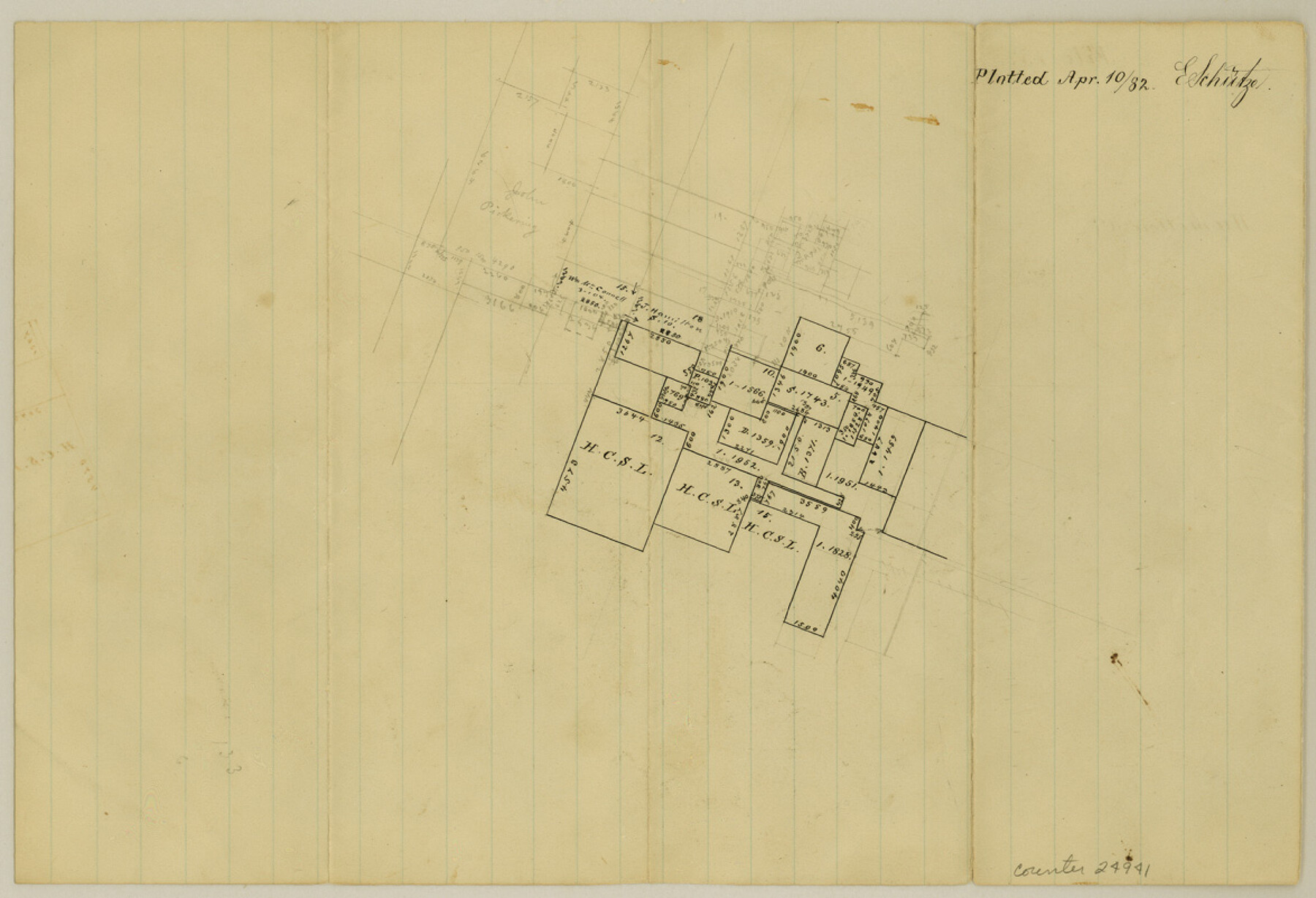
Hamilton County Sketch File 15
[Office sketch]
-
Map/Doc
24941
-
Collection
General Map Collection
-
Object Dates
1882/4/10 (Creation Date)
1876/1/31 (Creation Date)
-
People and Organizations
S.C. Forester (Surveyor/Engineer)
-
Counties
Hamilton Lampasas
-
Subjects
Surveying Sketch File
-
Height x Width
8.0 x 11.8 inches
20.3 x 30.0 cm
-
Medium
paper, manuscript
-
Scale
No scale given
Part of: General Map Collection
Hardeman County Sketch File 26

Print $40.00
- Digital $50.00
Hardeman County Sketch File 26
Size 16.3 x 13.2 inches
Map/Doc 25037
Irion County Sketch File 7

Print $4.00
- Digital $50.00
Irion County Sketch File 7
1927
Size 11.1 x 7.1 inches
Map/Doc 27471
Trinity County Working Sketch 11

Print $20.00
- Digital $50.00
Trinity County Working Sketch 11
1949
Size 47.0 x 42.6 inches
Map/Doc 69460
Donley County Working Sketch 7

Print $20.00
- Digital $50.00
Donley County Working Sketch 7
1971
Size 23.7 x 26.1 inches
Map/Doc 68740
Presidio County Rolled Sketch A-2

Print $20.00
- Digital $50.00
Presidio County Rolled Sketch A-2
1889
Size 36.9 x 43.9 inches
Map/Doc 9770
Cass County Rolled Sketch 8

Print $20.00
- Digital $50.00
Cass County Rolled Sketch 8
Size 28.8 x 17.6 inches
Map/Doc 77522
Duval County Boundary File 1a

Print $18.00
- Digital $50.00
Duval County Boundary File 1a
Size 12.8 x 8.4 inches
Map/Doc 52670
Harris County Working Sketch 9

Print $20.00
- Digital $50.00
Harris County Working Sketch 9
1908
Size 27.7 x 39.4 inches
Map/Doc 65901
Potter County Sketch File 18

Print $20.00
- Digital $50.00
Potter County Sketch File 18
Size 34.3 x 43.4 inches
Map/Doc 10577
Kerr County Working Sketch 29

Print $20.00
- Digital $50.00
Kerr County Working Sketch 29
1972
Size 46.3 x 33.1 inches
Map/Doc 70060
Treaty to Resolve Pending Boundary Differences and Maintain the Rio Grande and Colorado River as the International Boundary Between the United States of American and Mexico

Print $20.00
- Digital $50.00
Treaty to Resolve Pending Boundary Differences and Maintain the Rio Grande and Colorado River as the International Boundary Between the United States of American and Mexico
1970
Size 10.9 x 35.6 inches
Map/Doc 83104
Houston County Sketch File 12

Print $4.00
- Digital $50.00
Houston County Sketch File 12
1849
Size 8.2 x 14.7 inches
Map/Doc 26773
You may also like
Right-of-Way and Track Map, Texas State Railroad operated by the T. and N. O. R.R. Co.

Print $40.00
- Digital $50.00
Right-of-Way and Track Map, Texas State Railroad operated by the T. and N. O. R.R. Co.
1917
Size 24.8 x 56.3 inches
Map/Doc 64173
Northern Part of Laguna Madre

Print $20.00
- Digital $50.00
Northern Part of Laguna Madre
1988
Size 45.1 x 36.4 inches
Map/Doc 73531
La Salle County Working Sketch 28

Print $20.00
- Digital $50.00
La Salle County Working Sketch 28
1954
Size 36.8 x 37.8 inches
Map/Doc 70329
Map of the River Sabine from its mouth on the Gulf of Mexico in the Sea to Logan's Ferry in Latitude 31°58'24" North

Print $40.00
- Digital $50.00
Map of the River Sabine from its mouth on the Gulf of Mexico in the Sea to Logan's Ferry in Latitude 31°58'24" North
1842
Size 60.5 x 30.6 inches
Map/Doc 87151
Pecos County Working Sketch 115

Print $40.00
- Digital $50.00
Pecos County Working Sketch 115
1973
Size 54.6 x 31.8 inches
Map/Doc 71588
Val Verde County Sketch File Z20

Print $20.00
- Digital $50.00
Val Verde County Sketch File Z20
1913
Size 11.5 x 9.0 inches
Map/Doc 39153
Bowie County Sketch File 8d

Print $4.00
- Digital $50.00
Bowie County Sketch File 8d
Size 14.2 x 8.6 inches
Map/Doc 14894
Cameron County Rolled Sketch 15

Print $40.00
- Digital $50.00
Cameron County Rolled Sketch 15
1958
Size 53.0 x 32.0 inches
Map/Doc 8568
Hutchinson County Sketch File 39

Print $20.00
- Digital $50.00
Hutchinson County Sketch File 39
1938
Size 23.5 x 19.0 inches
Map/Doc 11822
Roberts County Working Sketch 47

Print $20.00
- Digital $50.00
Roberts County Working Sketch 47
1996
Size 19.6 x 34.7 inches
Map/Doc 63573
Historia de Nueva-España, escrita por su esclarecido conquistador Hernan Cortes, aumentada con otros documentos, y notas, por el ilustrissimo señor don Francisco Antonio Lorenzana, Arzobispo de Mexico

Historia de Nueva-España, escrita por su esclarecido conquistador Hernan Cortes, aumentada con otros documentos, y notas, por el ilustrissimo señor don Francisco Antonio Lorenzana, Arzobispo de Mexico
1770
Map/Doc 97351
Somervell County Sketch File 3

Print $6.00
- Digital $50.00
Somervell County Sketch File 3
1858
Size 8.2 x 3.9 inches
Map/Doc 36797