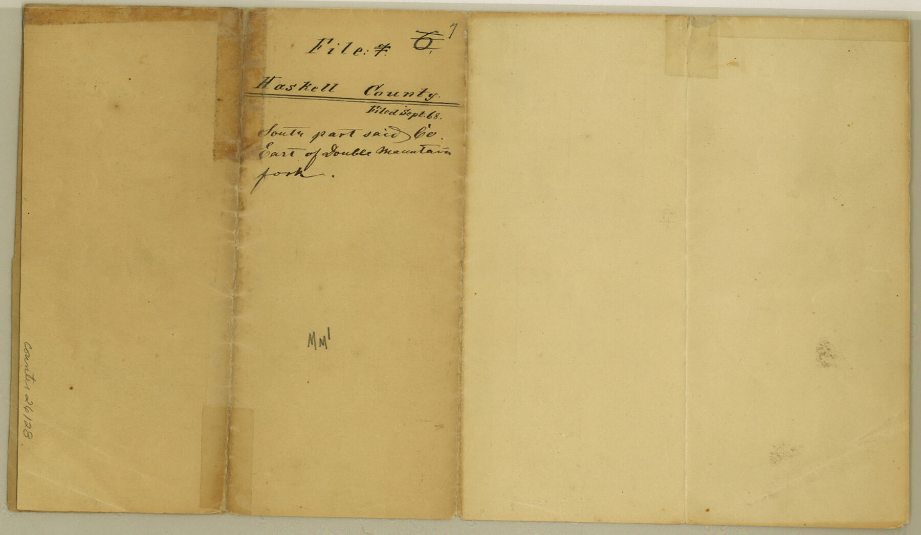
Haskell County Sketch File 7
[Sketch in south part of county, east of Double Mountain Fork]
-
Map/Doc
26128
-
Collection
General Map Collection
-
Object Dates
1868 (File Date)
-
People and Organizations
Armstrong (Surveyor/Engineer)
-
Counties
Haskell
-
Subjects
Surveying Sketch File
-
Height x Width
7.8 x 13.4 inches
19.8 x 34.0 cm
-
Medium
paper, manuscript
Part of: General Map Collection
Flight Mission No. DCL-6C, Frame 112, Kenedy County

Print $20.00
- Digital $50.00
Flight Mission No. DCL-6C, Frame 112, Kenedy County
1943
Size 15.4 x 15.5 inches
Map/Doc 85942
Flight Mission No. CGI-4N, Frame 180, Cameron County

Print $20.00
- Digital $50.00
Flight Mission No. CGI-4N, Frame 180, Cameron County
1955
Size 18.5 x 22.3 inches
Map/Doc 84683
Collingsworth County Sketch File 10

Print $4.00
- Digital $50.00
Collingsworth County Sketch File 10
1892
Size 11.3 x 9.0 inches
Map/Doc 18891
Sutton County Sketch File 40

Print $20.00
- Digital $50.00
Sutton County Sketch File 40
Size 21.5 x 15.4 inches
Map/Doc 12390
Flight Mission No. BRA-7M, Frame 26, Jefferson County

Print $20.00
- Digital $50.00
Flight Mission No. BRA-7M, Frame 26, Jefferson County
1953
Size 18.4 x 22.2 inches
Map/Doc 85477
Tom Green County Rolled Sketch 16

Print $20.00
- Digital $50.00
Tom Green County Rolled Sketch 16
1954
Size 38.2 x 44.6 inches
Map/Doc 10004
Dimmit County Boundary File 2

Print $4.00
- Digital $50.00
Dimmit County Boundary File 2
Size 10.0 x 7.9 inches
Map/Doc 52564
Flight Mission No. BQR-9K, Frame 49, Brazoria County

Print $20.00
- Digital $50.00
Flight Mission No. BQR-9K, Frame 49, Brazoria County
1952
Size 18.6 x 22.3 inches
Map/Doc 84053
Schleicher County Sketch File 37

Print $20.00
- Digital $50.00
Schleicher County Sketch File 37
1952
Size 24.9 x 29.3 inches
Map/Doc 12310
A Map of the British Empire in North America

Print $20.00
- Digital $50.00
A Map of the British Empire in North America
1774
Size 22.1 x 15.1 inches
Map/Doc 93733
Garza County Sketch File D

Print $20.00
- Digital $50.00
Garza County Sketch File D
1901
Size 18.4 x 12.2 inches
Map/Doc 11550
Flight Mission No. CLL-3N, Frame 3, Willacy County

Print $20.00
- Digital $50.00
Flight Mission No. CLL-3N, Frame 3, Willacy County
1954
Size 18.6 x 22.3 inches
Map/Doc 87069
You may also like
Concho County Rolled Sketch 13

Print $20.00
- Digital $50.00
Concho County Rolled Sketch 13
1958
Size 23.7 x 20.3 inches
Map/Doc 78461
Travis County Appraisal District Plat Map 2_3215

Print $20.00
- Digital $50.00
Travis County Appraisal District Plat Map 2_3215
Size 21.5 x 26.4 inches
Map/Doc 94222
[Surveys along Neils and Turkey Creeks]
![69761, [Surveys along Neils and Turkey Creeks], General Map Collection](https://historictexasmaps.com/wmedia_w700/maps/69761.tif.jpg)
Print $2.00
- Digital $50.00
[Surveys along Neils and Turkey Creeks]
1846
Size 10.8 x 7.9 inches
Map/Doc 69761

Jefferson County Sketch File 22

Print $22.00
- Digital $50.00
Jefferson County Sketch File 22
Size 7.6 x 11.9 inches
Map/Doc 28179
University Lands Blocks 38 to 57, Crockett-Reagan-Irion-Schleicher-Counties

Print $40.00
- Digital $50.00
University Lands Blocks 38 to 57, Crockett-Reagan-Irion-Schleicher-Counties
Size 35.1 x 53.6 inches
Map/Doc 62945
Flight Mission No. BQY-4M, Frame 115, Harris County

Print $20.00
- Digital $50.00
Flight Mission No. BQY-4M, Frame 115, Harris County
1953
Size 18.6 x 22.5 inches
Map/Doc 85282
Panola County Working Sketch 6

Print $20.00
- Digital $50.00
Panola County Working Sketch 6
1941
Map/Doc 71415
Ochiltree County Working Sketch 8

Print $20.00
- Digital $50.00
Ochiltree County Working Sketch 8
1982
Size 23.4 x 20.8 inches
Map/Doc 71321
Panola County Working Sketch 13

Print $40.00
- Digital $50.00
Panola County Working Sketch 13
1945
Map/Doc 71422
[Surveys 111-114, north of Morris County School Land]
![90362, [Surveys 111-114, north of Morris County School Land], Twichell Survey Records](https://historictexasmaps.com/wmedia_w700/maps/90362-1.tif.jpg)
Print $20.00
- Digital $50.00
[Surveys 111-114, north of Morris County School Land]
Size 23.7 x 8.2 inches
Map/Doc 90362
Packery Channel

Print $20.00
- Digital $50.00
Packery Channel
1974
Size 16.5 x 20.6 inches
Map/Doc 3003