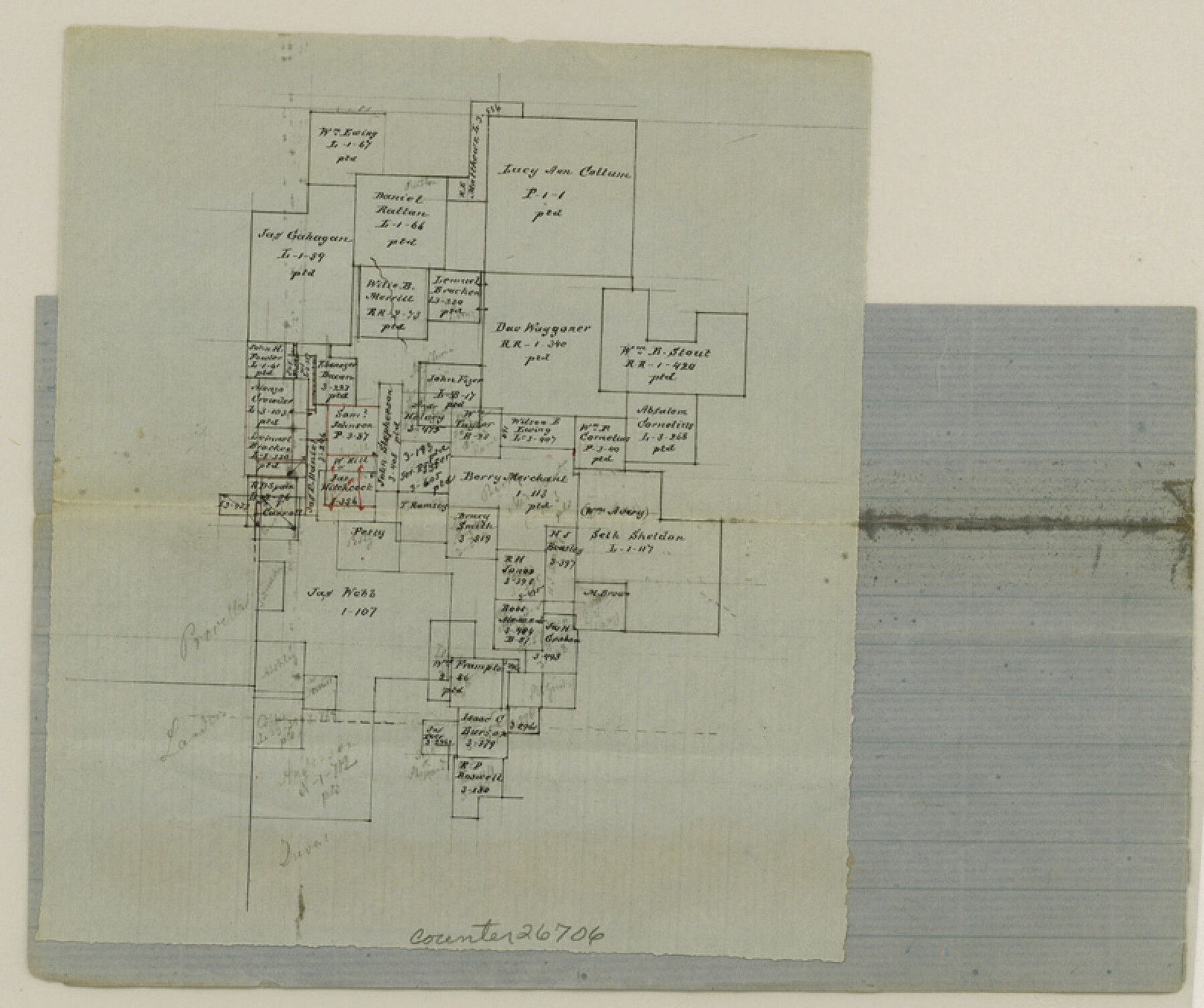
Hopkins County Sketch File 12
[Two sketches east of Sulphur Springs]
-
Map/Doc
26706
-
Collection
General Map Collection
-
Counties
Hopkins
-
Subjects
Surveying Sketch File
-
Height x Width
6.8 x 8.1 inches
17.3 x 20.6 cm
-
Medium
paper, manuscript
Part of: General Map Collection
Aransas County Working Sketch 20

Print $20.00
- Digital $50.00
Aransas County Working Sketch 20
1980
Size 11.9 x 24.4 inches
Map/Doc 67187
Irion County Sketch File 8

Print $6.00
- Digital $50.00
Irion County Sketch File 8
Size 14.5 x 9.8 inches
Map/Doc 27473
Anderson County Rolled Sketch 15

Print $20.00
- Digital $50.00
Anderson County Rolled Sketch 15
2002
Size 40.0 x 28.3 inches
Map/Doc 78315
Map of the country in the vicinity of San Antonio de Bexar reduced in part from the county map of Bexar with additions by J. Edmd. Blake, 1st Lieut Topl. Engs.

Print $20.00
- Digital $50.00
Map of the country in the vicinity of San Antonio de Bexar reduced in part from the county map of Bexar with additions by J. Edmd. Blake, 1st Lieut Topl. Engs.
1845
Size 18.1 x 25.9 inches
Map/Doc 72723
Travis County Rolled Sketch 56

Print $20.00
- Digital $50.00
Travis County Rolled Sketch 56
1885
Size 16.7 x 23.2 inches
Map/Doc 8047
Anderson County Boundary File 4

Print $10.00
- Digital $50.00
Anderson County Boundary File 4
Size 8.9 x 7.4 inches
Map/Doc 49737
Flight Mission No. CRC-3R, Frame 29, Chambers County

Print $20.00
- Digital $50.00
Flight Mission No. CRC-3R, Frame 29, Chambers County
1956
Size 18.6 x 22.3 inches
Map/Doc 84804
Pecos County Working Sketch 73

Print $40.00
- Digital $50.00
Pecos County Working Sketch 73
1957
Size 110.6 x 38.7 inches
Map/Doc 71545
Wilbarger Co.

Print $40.00
- Digital $50.00
Wilbarger Co.
1907
Size 49.1 x 40.3 inches
Map/Doc 63126
Mason County Working Sketch 13

Print $20.00
- Digital $50.00
Mason County Working Sketch 13
1954
Size 20.0 x 29.9 inches
Map/Doc 70849
Map of Harris County

Print $20.00
- Digital $50.00
Map of Harris County
1893
Size 26.9 x 36.5 inches
Map/Doc 66855

You may also like
Presidio County Working Sketch 146

Print $20.00
- Digital $50.00
Presidio County Working Sketch 146
1989
Size 20.7 x 20.6 inches
Map/Doc 71824
Culberson County Sketch File 40

Print $6.00
- Digital $50.00
Culberson County Sketch File 40
Size 24.8 x 35.2 inches
Map/Doc 11275
Map of Tarrant County

Print $20.00
- Digital $50.00
Map of Tarrant County
1867
Size 30.0 x 19.3 inches
Map/Doc 4066
Flight Mission No. BRA-16M, Frame 178, Jefferson County

Print $20.00
- Digital $50.00
Flight Mission No. BRA-16M, Frame 178, Jefferson County
1953
Size 18.6 x 22.4 inches
Map/Doc 85776
Vereinigte Staaten von Nord America

Print $20.00
- Digital $50.00
Vereinigte Staaten von Nord America
1828
Size 17.6 x 21.9 inches
Map/Doc 93644
Current Miscellaneous File 40

Print $10.00
- Digital $50.00
Current Miscellaneous File 40
Size 14.2 x 8.7 inches
Map/Doc 73972
Sketch showing Damon's Mound and adjacent surveys

Print $20.00
- Digital $50.00
Sketch showing Damon's Mound and adjacent surveys
Size 19.4 x 17.7 inches
Map/Doc 90218
General Chart of the Coast No. XVI - Gulf Coast from Galveston to the Rio Grande

Print $20.00
- Digital $50.00
General Chart of the Coast No. XVI - Gulf Coast from Galveston to the Rio Grande
1883
Size 26.8 x 18.1 inches
Map/Doc 72737
Tarrant County Sketch File 5

Print $4.00
- Digital $50.00
Tarrant County Sketch File 5
1859
Size 14.5 x 8.1 inches
Map/Doc 37680
[Surveys in Austin's Colony by Horatio Chriesman along Mill and Cummins Creeks]
![68, [Surveys in Austin's Colony by Horatio Chriesman along Mill and Cummins Creeks], General Map Collection](https://historictexasmaps.com/wmedia_w700/maps/68.tif.jpg)
Print $20.00
- Digital $50.00
[Surveys in Austin's Colony by Horatio Chriesman along Mill and Cummins Creeks]
1830
Size 30.7 x 25.7 inches
Map/Doc 68
General Highway Map, Stephens County, Texas

Print $20.00
General Highway Map, Stephens County, Texas
1940
Size 24.9 x 18.3 inches
Map/Doc 79247
[Sketch of 'San Salvador del Tule', Juan Jose Balli Grant, Hidalgo County, Texas]
![10756, [Sketch of 'San Salvador del Tule', Juan Jose Balli Grant, Hidalgo County, Texas], Maddox Collection](https://historictexasmaps.com/wmedia_w700/maps/10756.tif.jpg)
Print $20.00
- Digital $50.00
[Sketch of 'San Salvador del Tule', Juan Jose Balli Grant, Hidalgo County, Texas]
Size 22.0 x 17.5 inches
Map/Doc 10756