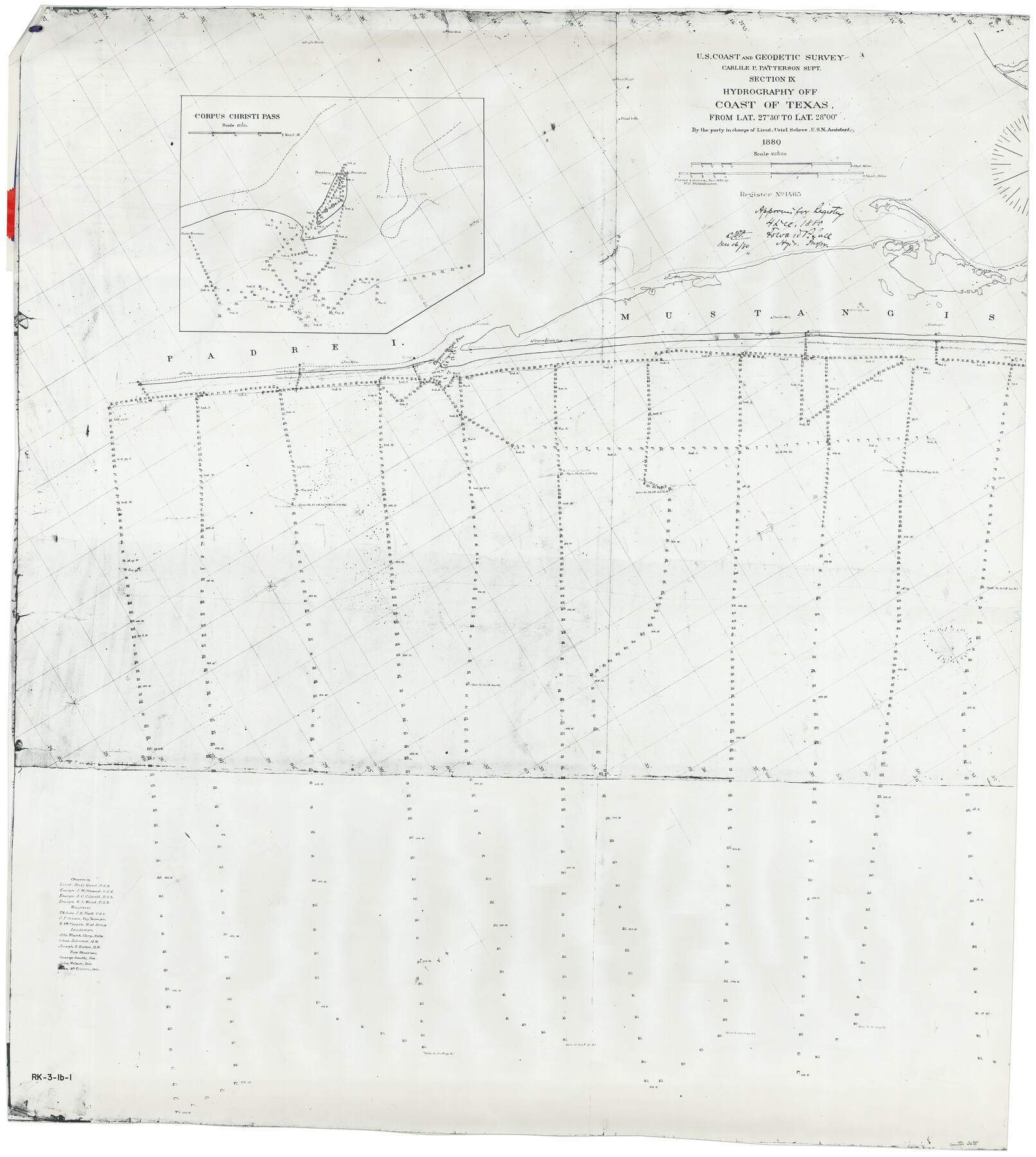
Hydography Survey H-1465 Corpus Christi Pass
Hydrography Off Coast of Texas from Latitude 27 Degrees, 30 minutes to Latitude 28 degrees 0 minutes
-
Map/Doc
2695
-
Collection
General Map Collection
-
Object Dates
1880 (Creation Date)
-
People and Organizations
U. S. Coast and Geodetic Survey (Author)
-
Subjects
Nautical Charts
-
Height x Width
45.0 x 40.9 inches
114.3 x 103.9 cm
-
Medium
photocopy
-
Comments
See 83362 for Certificate
Part of: General Map Collection
Map of Young County East of the Main Brazos River formerly Fannin and West of it Milam Land District

Print $20.00
- Digital $50.00
Map of Young County East of the Main Brazos River formerly Fannin and West of it Milam Land District
1859
Size 23.3 x 20.2 inches
Map/Doc 4173
Calhoun County Rolled Sketch 29A

Print $20.00
- Digital $50.00
Calhoun County Rolled Sketch 29A
Size 30.4 x 33.5 inches
Map/Doc 8557
Concho County Sketch File 39

Print $8.00
- Digital $50.00
Concho County Sketch File 39
1949
Size 11.3 x 8.8 inches
Map/Doc 19190
Newton County Sketch File 27

Print $4.00
- Digital $50.00
Newton County Sketch File 27
Size 13.0 x 8.6 inches
Map/Doc 32411
Dimmit County Sketch File 59

Print $26.00
- Digital $50.00
Dimmit County Sketch File 59
1912
Size 14.4 x 8.9 inches
Map/Doc 21193
Flight Mission No. BRA-9M, Frame 76, Jefferson County

Print $20.00
- Digital $50.00
Flight Mission No. BRA-9M, Frame 76, Jefferson County
1953
Size 18.5 x 22.5 inches
Map/Doc 85659
Flight Mission No. DCL-6C, Frame 132, Kenedy County

Print $20.00
- Digital $50.00
Flight Mission No. DCL-6C, Frame 132, Kenedy County
1943
Size 18.6 x 22.3 inches
Map/Doc 85962
Nueces River, La Fruta Sheet

Print $20.00
- Digital $50.00
Nueces River, La Fruta Sheet
1927
Size 36.4 x 37.2 inches
Map/Doc 65089
Atascosa County Boundary File 3

Print $18.00
- Digital $50.00
Atascosa County Boundary File 3
Size 8.7 x 8.5 inches
Map/Doc 50168
South Part Crockett County

Print $40.00
- Digital $50.00
South Part Crockett County
1977
Size 39.1 x 51.2 inches
Map/Doc 95471
Hood County Working Sketch 11

Print $20.00
- Digital $50.00
Hood County Working Sketch 11
1976
Size 19.7 x 25.2 inches
Map/Doc 66205
Armstrong County Boundary File 4

Print $2.00
- Digital $50.00
Armstrong County Boundary File 4
Size 10.2 x 8.8 inches
Map/Doc 50148
You may also like
Irion County Working Sketch 5

Print $20.00
- Digital $50.00
Irion County Working Sketch 5
1929
Size 24.3 x 17.9 inches
Map/Doc 66414
Westliches - Nordamerica

Print $20.00
- Digital $50.00
Westliches - Nordamerica
1867
Size 25.3 x 20.7 inches
Map/Doc 93753
[Sketch for Mineral Application 26546 - Sabine River between Hawkins Creek and east boundary line of BBB&C RR Co. Surveys, R. S. Rathke]
![65665, [Sketch for Mineral Application 26546 - Sabine River between Hawkins Creek and east boundary line of BBB&C RR Co. Surveys, R. S. Rathke], General Map Collection](https://historictexasmaps.com/wmedia_w700/maps/65665.tif.jpg)
Print $40.00
- Digital $50.00
[Sketch for Mineral Application 26546 - Sabine River between Hawkins Creek and east boundary line of BBB&C RR Co. Surveys, R. S. Rathke]
1931
Size 25.5 x 75.1 inches
Map/Doc 65665
Flight Mission No. BRA-16M, Frame 114, Jefferson County

Print $20.00
- Digital $50.00
Flight Mission No. BRA-16M, Frame 114, Jefferson County
1953
Size 18.5 x 22.3 inches
Map/Doc 85724
Hunt County Sketch File 13

Print $2.00
- Digital $50.00
Hunt County Sketch File 13
1855
Size 12.4 x 8.1 inches
Map/Doc 27106
Flight Mission No. CGI-1N, Frame 173, Cameron County

Print $20.00
- Digital $50.00
Flight Mission No. CGI-1N, Frame 173, Cameron County
1955
Size 18.5 x 22.1 inches
Map/Doc 84508
Kinney County Rolled Sketch 21

Print $40.00
- Digital $50.00
Kinney County Rolled Sketch 21
1992
Size 39.2 x 57.2 inches
Map/Doc 9358
Hudspeth County Working Sketch 14

Print $20.00
- Digital $50.00
Hudspeth County Working Sketch 14
1953
Size 24.2 x 41.2 inches
Map/Doc 66296
Blanco County Rolled Sketch 23

Print $20.00
- Digital $50.00
Blanco County Rolled Sketch 23
2019
Size 24.1 x 35.7 inches
Map/Doc 97346
Erath County Working Sketch 3

Print $20.00
- Digital $50.00
Erath County Working Sketch 3
1919
Size 17.6 x 17.6 inches
Map/Doc 69084

[Parts of T. & P. 30 and 31, T3N, H. & T. C. 27]
![91206, [Parts of T. & P. 30 and 31, T3N, H. & T. C. 27], Twichell Survey Records](https://historictexasmaps.com/wmedia_w700/maps/91206-1.tif.jpg)
Print $20.00
- Digital $50.00
[Parts of T. & P. 30 and 31, T3N, H. & T. C. 27]
Size 17.4 x 14.4 inches
Map/Doc 91206