Hudspeth County Sketch File 49
[Survey report regarding resurvey of 14 sections in Block 65 1/2, PSL]
-
Map/Doc
27065
-
Collection
General Map Collection
-
Object Dates
12/10/1986 (Creation Date)
2/8/1988 (File Date)
1858 (Survey Date)
1873 (Survey Date)
7/1906 (Survey Date)
1/1879 (Survey Date)
1910 (Survey Date)
1912 (Survey Date)
1909 (Survey Date)
2/1879 (Survey Date)
9/1905 (Survey Date)
10/1905 (Survey Date)
1930 (Survey Date)
1895 (Survey Date)
1900 (Survey Date)
1909 (Survey Date)
-
People and Organizations
T.O. Wallis (Surveyor/Engineer)
Joseph A. Tivey (Surveyor/Engineer)
J.W. Tays (Surveyor/Engineer)
E.L. DeShazo (Surveyor/Engineer)
Jacob Kuechler (Surveyor/Engineer)
J.W. Eubank (Surveyor/Engineer)
F.E. Baker (Surveyor/Engineer)
R.E. Hardaway (Surveyor/Engineer)
Paul McCombs (Surveyor/Engineer)
R.W. Baker (Surveyor/Engineer)
A.H. Parker (Surveyor/Engineer)
-
Counties
Hudspeth El Paso
-
Subjects
Surveying Sketch File
-
Height x Width
11.2 x 8.7 inches
28.5 x 22.1 cm
-
Medium
paper, print
-
Comments
See Hudspeth County Rolled Sketch 64 (9228) for plat.
-
Features
Fort Hancock
Highway 10
Camp Rice
Camp Alamo
Rio Grande
San Antonio-El Paso Mail Road
Related maps
Hudspeth County Rolled Sketch 64


Print $40.00
- Digital $50.00
Hudspeth County Rolled Sketch 64
1986
Size 39.1 x 81.9 inches
Map/Doc 9228
Part of: General Map Collection
Zapata County Sketch File 17


Print $32.00
- Digital $50.00
Zapata County Sketch File 17
1959
Size 14.4 x 8.9 inches
Map/Doc 40960
Ector County Rolled Sketch 11
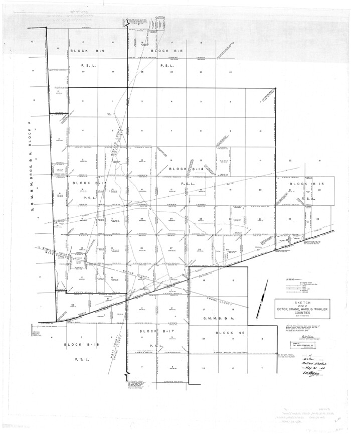

Print $20.00
- Digital $50.00
Ector County Rolled Sketch 11
1947
Size 47.5 x 38.8 inches
Map/Doc 8839
Crosby County Sketch File 11b


Print $20.00
- Digital $50.00
Crosby County Sketch File 11b
1890
Size 17.2 x 15.6 inches
Map/Doc 11247
Colorado County Sketch File 6
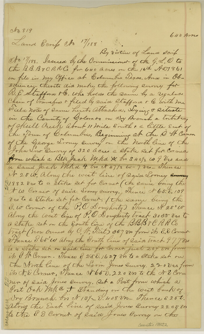

Print $8.00
- Digital $50.00
Colorado County Sketch File 6
1860
Size 8.4 x 7.0 inches
Map/Doc 18921
Flight Mission No. BRA-7M, Frame 185, Jefferson County
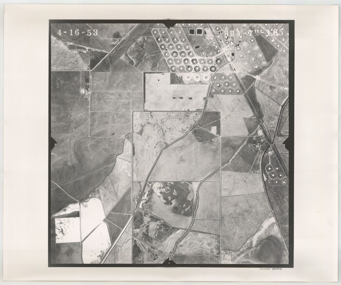

Print $20.00
- Digital $50.00
Flight Mission No. BRA-7M, Frame 185, Jefferson County
1953
Size 18.6 x 22.3 inches
Map/Doc 85553
Flight Mission No. DIX-5P, Frame 113, Aransas County
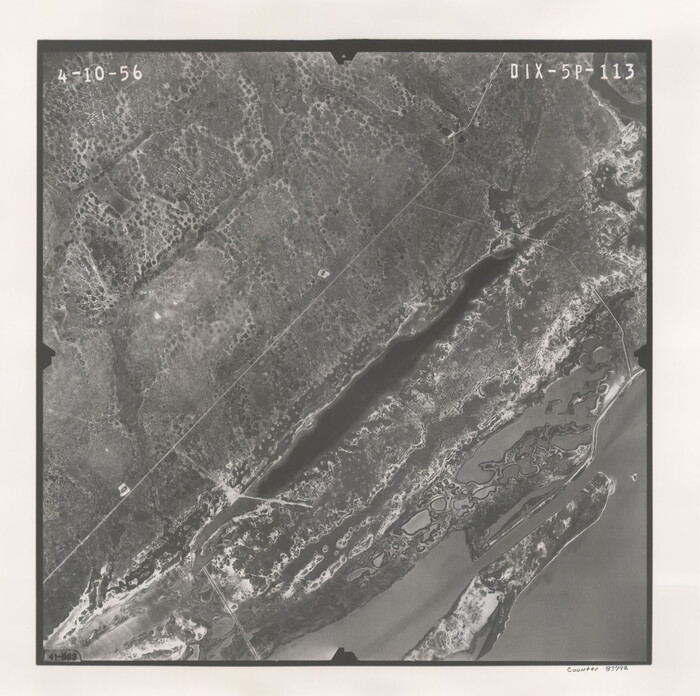

Print $20.00
- Digital $50.00
Flight Mission No. DIX-5P, Frame 113, Aransas County
1956
Size 17.6 x 17.7 inches
Map/Doc 83792
Flight Mission No. DAG-19K, Frame 61, Matagorda County


Print $20.00
- Digital $50.00
Flight Mission No. DAG-19K, Frame 61, Matagorda County
1952
Size 18.6 x 22.3 inches
Map/Doc 86388
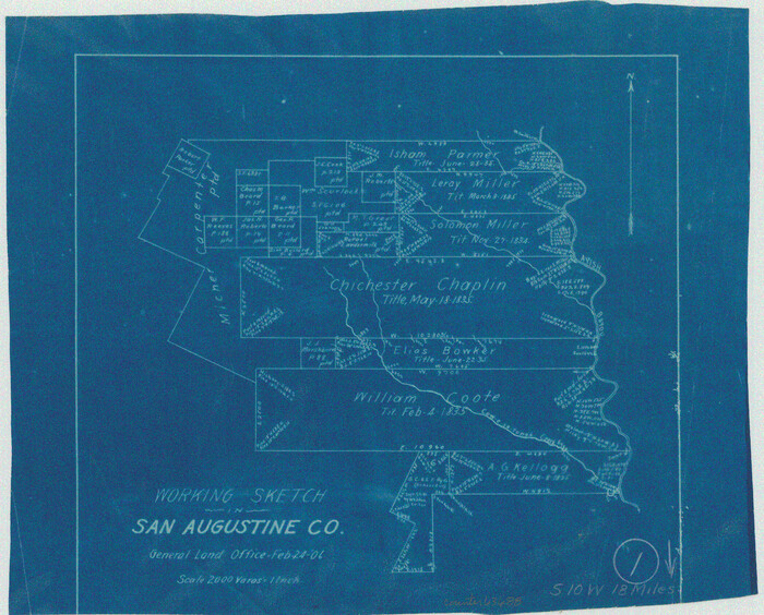
San Augustine County Working Sketch 1

Print $3.00
- Digital $50.00
San Augustine County Working Sketch 1
1906
Size 9.1 x 11.3 inches
Map/Doc 63688
Brewster County Sketch File NS-15


Print $40.00
- Digital $50.00
Brewster County Sketch File NS-15
1977
Size 16.7 x 14.4 inches
Map/Doc 16298
Presidio County Working Sketch 80


Print $20.00
- Digital $50.00
Presidio County Working Sketch 80
1967
Size 18.8 x 30.5 inches
Map/Doc 71757
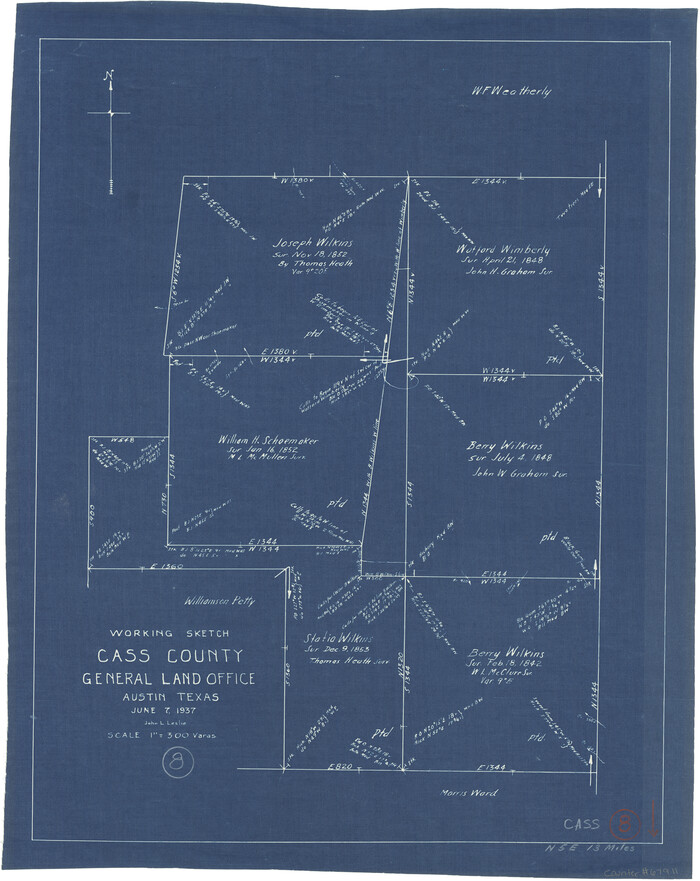
Cass County Working Sketch 8

Print $20.00
- Digital $50.00
Cass County Working Sketch 8
1937
Size 20.2 x 16.1 inches
Map/Doc 67911
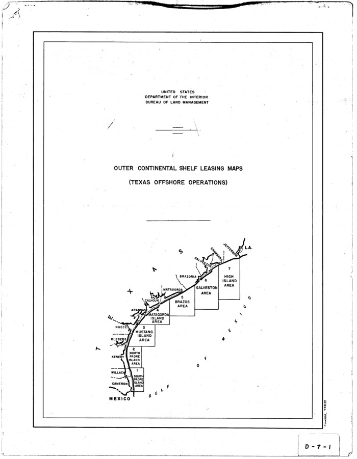
Outer Continental Shelf Leasing Maps (Texas Offshore Operations)

Print $20.00
- Digital $50.00
Outer Continental Shelf Leasing Maps (Texas Offshore Operations)
1954
Size 22.3 x 17.3 inches
Map/Doc 75833
You may also like
Galveston County NRC Article 33.136 Sketch 73


Print $28.00
- Digital $50.00
Galveston County NRC Article 33.136 Sketch 73
2013
Size 31.7 x 24.0 inches
Map/Doc 94995
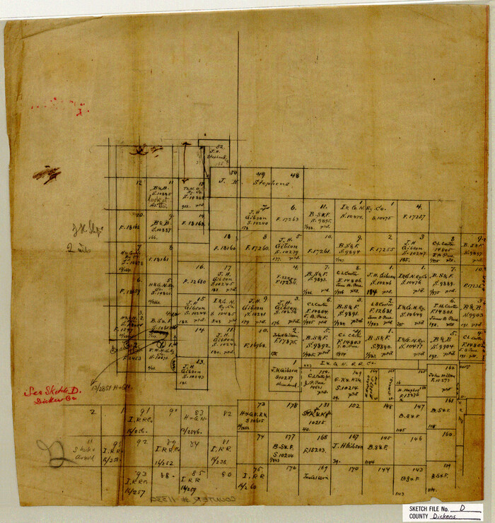
Dickens County Sketch File D

Print $20.00
- Digital $50.00
Dickens County Sketch File D
1883
Size 15.7 x 14.8 inches
Map/Doc 11330
Dallam County
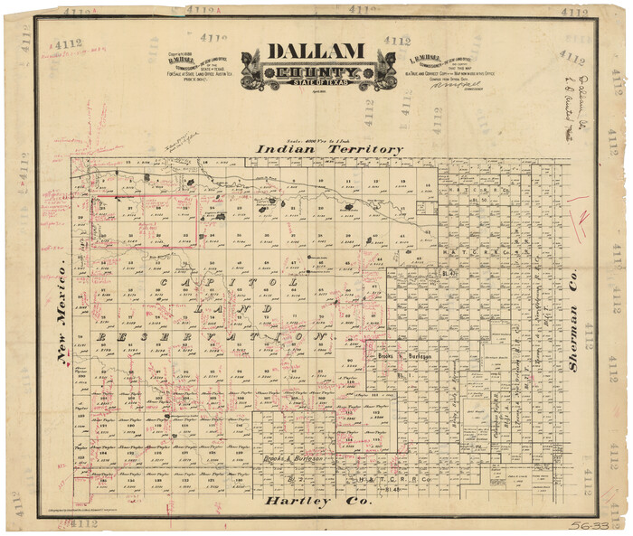

Print $20.00
- Digital $50.00
Dallam County
1888
Size 29.5 x 24.6 inches
Map/Doc 90654
Bowie County Sketch File 9
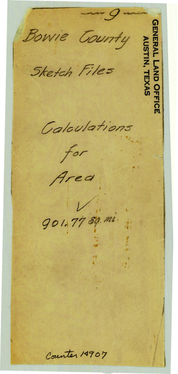

Print $10.00
- Digital $50.00
Bowie County Sketch File 9
Size 8.1 x 3.9 inches
Map/Doc 14907
Flight Mission No. BRA-16M, Frame 94, Jefferson County
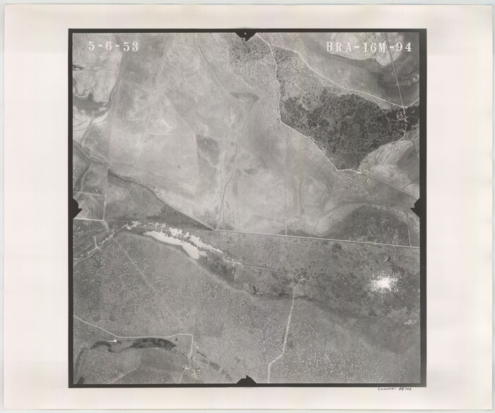

Print $20.00
- Digital $50.00
Flight Mission No. BRA-16M, Frame 94, Jefferson County
1953
Size 18.5 x 22.1 inches
Map/Doc 85706
Mills County Working Sketch 12
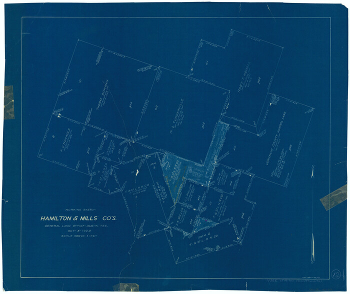

Print $20.00
- Digital $50.00
Mills County Working Sketch 12
1923
Size 22.1 x 26.3 inches
Map/Doc 71042
Coke County Sketch File 17-18


Print $24.00
- Digital $50.00
Coke County Sketch File 17-18
1902
Size 16.6 x 14.2 inches
Map/Doc 11109
Hockley County Rolled Sketch 5

Print $40.00
- Digital $50.00
Hockley County Rolled Sketch 5
Size 80.8 x 29.5 inches
Map/Doc 9175
[Sketch showing surveys in Blocks 70, 71 and 72 surrounding the town of Toyah]
![91835, [Sketch showing surveys in Blocks 70, 71 and 72 surrounding the town of Toyah], Twichell Survey Records](https://historictexasmaps.com/wmedia_w700/maps/91835-1.tif.jpg)
![91835, [Sketch showing surveys in Blocks 70, 71 and 72 surrounding the town of Toyah], Twichell Survey Records](https://historictexasmaps.com/wmedia_w700/maps/91835-1.tif.jpg)
Print $20.00
- Digital $50.00
[Sketch showing surveys in Blocks 70, 71 and 72 surrounding the town of Toyah]
Size 44.1 x 24.0 inches
Map/Doc 91835
Calhoun County NRC Article 33.136 Sketch 9


Print $106.00
- Digital $50.00
Calhoun County NRC Article 33.136 Sketch 9
2021
Map/Doc 96913
Austin County Sketch File 6b


Print $50.00
- Digital $50.00
Austin County Sketch File 6b
1894
Size 11.3 x 8.6 inches
Map/Doc 13872
![91820, [Block M-19], Twichell Survey Records](https://historictexasmaps.com/wmedia_w700/maps/91820-1.tif.jpg)