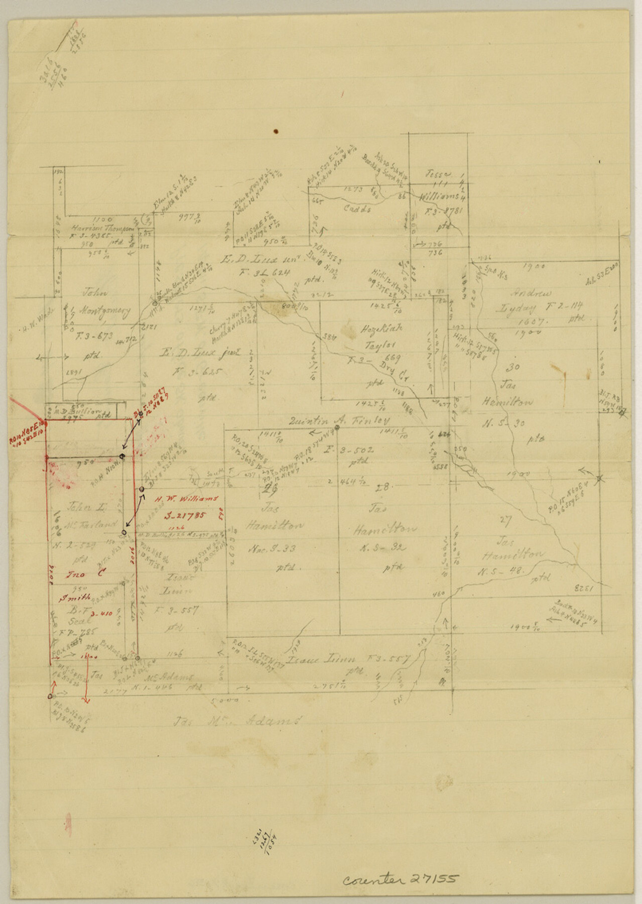
Hunt County Sketch File 37
[Sketch southwest of Greenville]
-
Map/Doc
27155
-
Collection
General Map Collection
-
People and Organizations
Pressler (Surveyor/Engineer)
-
Counties
Hunt
-
Subjects
Surveying Sketch File
-
Height x Width
11.4 x 8.1 inches
29.0 x 20.6 cm
-
Medium
paper, manuscript
Part of: General Map Collection
Hamilton County

Print $20.00
- Digital $50.00
Hamilton County
1898
Size 35.3 x 42.5 inches
Map/Doc 66849
Brewster County Rolled Sketch 19B

Print $40.00
- Digital $50.00
Brewster County Rolled Sketch 19B
1881
Size 48.5 x 39.4 inches
Map/Doc 8472
Calhoun County Sketch File 2

Print $40.00
- Digital $50.00
Calhoun County Sketch File 2
1856
Size 20.2 x 15.8 inches
Map/Doc 11032
Andrews County Sketch File 1

Print $6.00
- Digital $50.00
Andrews County Sketch File 1
Size 9.0 x 13.6 inches
Map/Doc 12818
Harris County Working Sketch 77

Print $20.00
- Digital $50.00
Harris County Working Sketch 77
1967
Size 28.6 x 24.0 inches
Map/Doc 65969
Flight Mission No. CUG-3P, Frame 169, Kleberg County

Print $20.00
- Digital $50.00
Flight Mission No. CUG-3P, Frame 169, Kleberg County
1956
Size 18.5 x 22.2 inches
Map/Doc 86289
Outer Continental Shelf Leasing Maps (Texas Offshore Operations)

Print $20.00
- Digital $50.00
Outer Continental Shelf Leasing Maps (Texas Offshore Operations)
Size 24.0 x 18.4 inches
Map/Doc 75853
Presidio County Rolled Sketch 65

Print $20.00
- Digital $50.00
Presidio County Rolled Sketch 65
Size 23.1 x 28.3 inches
Map/Doc 7356
[Right of Way & Track Map, The Texas & Pacific Ry. Co. Main Line]
![64668, [Right of Way & Track Map, The Texas & Pacific Ry. Co. Main Line], General Map Collection](https://historictexasmaps.com/wmedia_w700/maps/64668.tif.jpg)
Print $20.00
- Digital $50.00
[Right of Way & Track Map, The Texas & Pacific Ry. Co. Main Line]
Size 11.0 x 18.4 inches
Map/Doc 64668
Kerr County Working Sketch 31

Print $20.00
- Digital $50.00
Kerr County Working Sketch 31
1973
Size 43.6 x 29.0 inches
Map/Doc 70062
Harris County Boundary File 3

Print $16.00
- Digital $50.00
Harris County Boundary File 3
Size 14.7 x 7.0 inches
Map/Doc 54298
Flight Mission No. DCL-7C, Frame 25, Kenedy County

Print $20.00
- Digital $50.00
Flight Mission No. DCL-7C, Frame 25, Kenedy County
1943
Size 15.4 x 15.4 inches
Map/Doc 86017
You may also like
[Sketch of F.R. Lehmann surveys on the Rio Grande]
![554, [Sketch of F.R. Lehmann surveys on the Rio Grande], Maddox Collection](https://historictexasmaps.com/wmedia_w700/maps/554.tif.jpg)
Print $20.00
- Digital $50.00
[Sketch of F.R. Lehmann surveys on the Rio Grande]
Size 14.7 x 16.8 inches
Map/Doc 554
Geographically Correct County Map showing the lines of the Cotton Belt Route and connections

Print $20.00
- Digital $50.00
Geographically Correct County Map showing the lines of the Cotton Belt Route and connections
1898
Size 35.7 x 30.8 inches
Map/Doc 95839
Map of Fannin County

Print $40.00
- Digital $50.00
Map of Fannin County
1841
Size 50.4 x 46.8 inches
Map/Doc 7821
Reagan County Rolled Sketch 35

Print $20.00
- Digital $50.00
Reagan County Rolled Sketch 35
Size 26.4 x 38.4 inches
Map/Doc 7448
Deaf Smith County Rolled Sketch 2

Print $20.00
- Digital $50.00
Deaf Smith County Rolled Sketch 2
1976
Size 42.7 x 14.4 inches
Map/Doc 5699
Zapata County Working Sketch 1

Print $20.00
- Digital $50.00
Zapata County Working Sketch 1
1912
Size 26.2 x 25.7 inches
Map/Doc 62052

[Galveston, Harrisburg & San Antonio Railroad from Cuero to Stockdale]
![64199, [Galveston, Harrisburg & San Antonio Railroad from Cuero to Stockdale], General Map Collection](https://historictexasmaps.com/wmedia_w700/maps/64199.tif.jpg)
Print $20.00
- Digital $50.00
[Galveston, Harrisburg & San Antonio Railroad from Cuero to Stockdale]
1907
Size 12.9 x 33.2 inches
Map/Doc 64199
Zapata County Sketch File 17

Print $32.00
- Digital $50.00
Zapata County Sketch File 17
1959
Size 14.4 x 8.9 inches
Map/Doc 40960
General Highway Map, Kendall County, Texas

Print $20.00
General Highway Map, Kendall County, Texas
1961
Size 18.3 x 24.6 inches
Map/Doc 79549
Haskell County Sketch File 20

Print $20.00
- Digital $50.00
Haskell County Sketch File 20
1902
Size 20.9 x 26.2 inches
Map/Doc 11743
![94184, Texas [Verso], General Map Collection](https://historictexasmaps.com/wmedia_w700/maps/94184.tif.jpg)