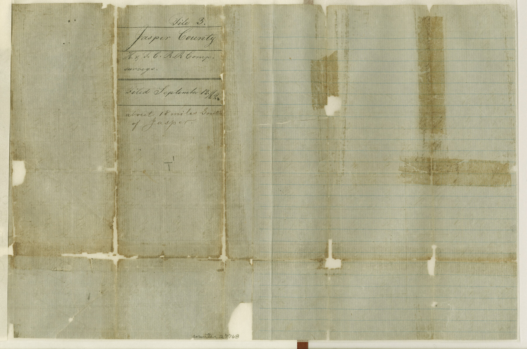
Jasper County Sketch File 3
[Sketch of H. & T. C. RR. Co. surveys south of Jasper]
-
Map/Doc
27768
-
Collection
General Map Collection
-
Object Dates
9/12/1862 (File Date)
-
People and Organizations
George Smith (Surveyor/Engineer)
-
Counties
Jasper
-
Subjects
Surveying Sketch File
-
Height x Width
10.1 x 15.2 inches
25.7 x 38.6 cm
-
Medium
paper, manuscript
-
Features
Boggy Branch
Part of: General Map Collection
Central Part of Jeff Davis Co.

Print $40.00
- Digital $50.00
Central Part of Jeff Davis Co.
1982
Size 56.3 x 43.9 inches
Map/Doc 95543
Terrell County Rolled Sketch 42

Print $20.00
- Digital $50.00
Terrell County Rolled Sketch 42
1948
Size 27.4 x 38.6 inches
Map/Doc 7945
Goliad County Sketch File 22

Print $12.00
- Digital $50.00
Goliad County Sketch File 22
1855
Size 12.8 x 8.1 inches
Map/Doc 24289
Cooke County Sketch File 15

Print $4.00
- Digital $50.00
Cooke County Sketch File 15
1860
Size 12.5 x 8.1 inches
Map/Doc 19250
Flight Mission No. DCL-6C, Frame 2, Kenedy County

Print $20.00
- Digital $50.00
Flight Mission No. DCL-6C, Frame 2, Kenedy County
1943
Size 18.6 x 22.4 inches
Map/Doc 85862
Webb County Sketch File 70

Print $26.00
- Digital $50.00
Webb County Sketch File 70
Size 11.4 x 8.9 inches
Map/Doc 39875
Calhoun County NRC Article 33.136 Sketch 5

Print $34.00
- Digital $50.00
Calhoun County NRC Article 33.136 Sketch 5
2012
Size 24.0 x 36.0 inches
Map/Doc 94633
Menard County Rolled Sketch 17

Print $20.00
- Digital $50.00
Menard County Rolled Sketch 17
1950
Size 23.2 x 26.3 inches
Map/Doc 6763
Flight Mission No. BRA-3M, Frame 130, Jefferson County

Print $20.00
- Digital $50.00
Flight Mission No. BRA-3M, Frame 130, Jefferson County
1953
Size 18.6 x 22.3 inches
Map/Doc 85404
Llano County Sketch File 7

Print $4.00
- Digital $50.00
Llano County Sketch File 7
Size 6.6 x 7.3 inches
Map/Doc 30362
Map of Hardin County

Print $20.00
- Digital $50.00
Map of Hardin County
1902
Size 43.1 x 44.2 inches
Map/Doc 66854
Gregg County Rolled Sketch 9A

Print $20.00
- Digital $50.00
Gregg County Rolled Sketch 9A
1932
Size 38.1 x 30.2 inches
Map/Doc 6035
You may also like
Bowie County Sketch File 10

Print $8.00
- Digital $50.00
Bowie County Sketch File 10
1992
Size 11.1 x 8.8 inches
Map/Doc 14912
Angelina County Working Sketch 1

Print $20.00
- Digital $50.00
Angelina County Working Sketch 1
Size 17.3 x 17.8 inches
Map/Doc 67081


Flight Mission No. CRC-4R, Frame 150, Chambers County

Print $20.00
- Digital $50.00
Flight Mission No. CRC-4R, Frame 150, Chambers County
1956
Size 18.6 x 22.4 inches
Map/Doc 84913
Current Miscellaneous File 73

Print $8.00
- Digital $50.00
Current Miscellaneous File 73
1959
Size 11.4 x 8.7 inches
Map/Doc 74177
Map of the Recognised Line M. El. P. & P. R.R. from Texas & Arkansas State Line to Milam & Bexar Land District Line

Print $40.00
- Digital $50.00
Map of the Recognised Line M. El. P. & P. R.R. from Texas & Arkansas State Line to Milam & Bexar Land District Line
1856
Size 14.3 x 89.8 inches
Map/Doc 64053
Travis County

Print $40.00
- Digital $50.00
Travis County
1936
Size 46.9 x 54.1 inches
Map/Doc 95479
Caldwell County Sketch File 4

Print $8.00
- Digital $50.00
Caldwell County Sketch File 4
Size 8.8 x 6.9 inches
Map/Doc 35831
Aransas County Rolled Sketch 27E

Print $20.00
- Digital $50.00
Aransas County Rolled Sketch 27E
1958
Size 30.2 x 30.9 inches
Map/Doc 8419
Right of Way and Track Map, Dayton-Goose Creek Ry. Co., Station 190+00 to Station 401+20

Print $40.00
- Digital $50.00
Right of Way and Track Map, Dayton-Goose Creek Ry. Co., Station 190+00 to Station 401+20
1917
Size 25.4 x 56.8 inches
Map/Doc 64366
El Paso County Sketch File 39

Print $27.00
- Digital $50.00
El Paso County Sketch File 39
1922
Size 13.9 x 8.8 inches
Map/Doc 22225