[Sketch for Mineral Application 26501 - Sabine River, T. A. Oldhausen]
K-1-26
-
Map/Doc
2844
-
Collection
General Map Collection
-
Object Dates
1931 (Creation Date)
-
People and Organizations
W.E. Jones (Surveyor/Engineer)
-
Counties
Gregg
-
Subjects
Energy Offshore Submerged Area
-
Height x Width
24.4 x 36.8 inches
62.0 x 93.5 cm
Part of: General Map Collection
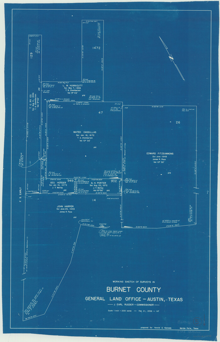
Burnet County Working Sketch 5

Print $20.00
- Digital $50.00
Burnet County Working Sketch 5
1956
Size 30.0 x 19.3 inches
Map/Doc 67848
Kenedy County Aerial Photograph Index Sheet 1


Print $20.00
- Digital $50.00
Kenedy County Aerial Photograph Index Sheet 1
1943
Size 23.3 x 19.5 inches
Map/Doc 83713
Flight Mission No. DAG-18K, Frame 188, Matagorda County


Print $20.00
- Digital $50.00
Flight Mission No. DAG-18K, Frame 188, Matagorda County
1952
Size 18.6 x 22.3 inches
Map/Doc 86380
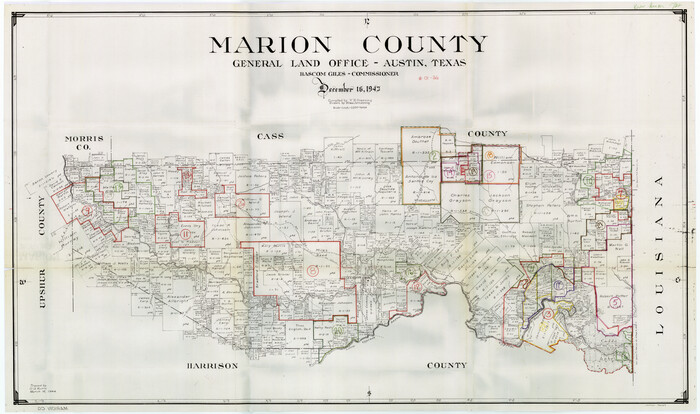
Marion County Working Sketch Graphic Index, Sheet 1 (Sketches 1 to 26)

Print $20.00
- Digital $50.00
Marion County Working Sketch Graphic Index, Sheet 1 (Sketches 1 to 26)
1943
Size 26.8 x 45.1 inches
Map/Doc 76629
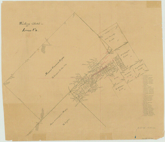
Leon County Working Sketch 1

Print $20.00
- Digital $50.00
Leon County Working Sketch 1
Size 16.1 x 18.7 inches
Map/Doc 70400
Panola County Sketch File 20

Print $22.00
- Digital $50.00
Panola County Sketch File 20
Size 8.3 x 14.6 inches
Map/Doc 33485
Navarro County Sketch File 9


Print $2.00
- Digital $50.00
Navarro County Sketch File 9
Size 8.3 x 9.1 inches
Map/Doc 32317
Eastland County Boundary File 13


Print $68.00
- Digital $50.00
Eastland County Boundary File 13
Size 8.0 x 3.7 inches
Map/Doc 52785
Map of Clay County
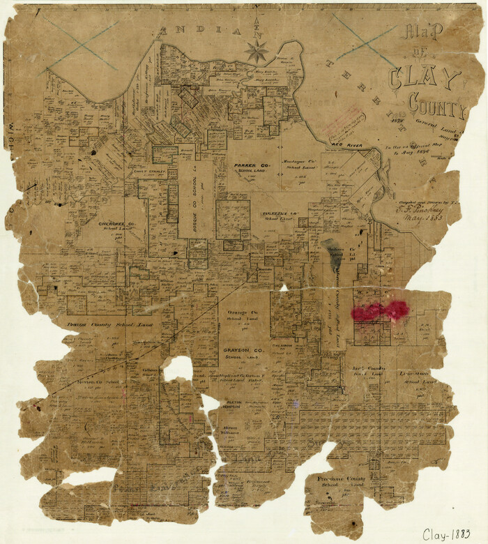

Print $20.00
- Digital $50.00
Map of Clay County
1883
Size 26.0 x 23.3 inches
Map/Doc 3396
Crockett County Sketch File 90
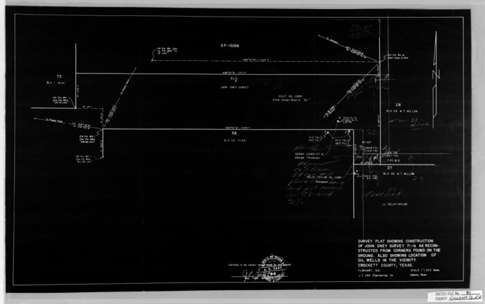

Print $40.00
- Digital $50.00
Crockett County Sketch File 90
1961
Size 14.7 x 23.5 inches
Map/Doc 11238
Flight Mission No. CGI-3N, Frame 169, Cameron County
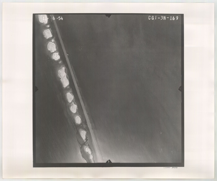

Print $20.00
- Digital $50.00
Flight Mission No. CGI-3N, Frame 169, Cameron County
1954
Size 18.6 x 22.3 inches
Map/Doc 84633
Smith County Working Sketch 19
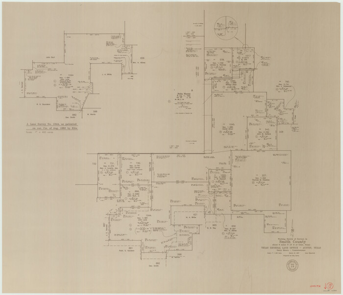

Print $20.00
- Digital $50.00
Smith County Working Sketch 19
1997
Size 31.4 x 36.5 inches
Map/Doc 63904
You may also like
Controlled Mosaic by Jack Amman Photogrammetric Engineers, Inc - Sheet 21


Print $20.00
- Digital $50.00
Controlled Mosaic by Jack Amman Photogrammetric Engineers, Inc - Sheet 21
1954
Size 20.0 x 24.0 inches
Map/Doc 83470
A Map of the United States of Mexico as organized and defined by the several Acts of the Congress of that Republic
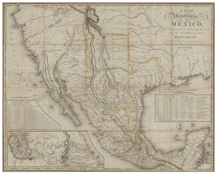

Print $20.00
A Map of the United States of Mexico as organized and defined by the several Acts of the Congress of that Republic
1826
Size 23.2 x 28.9 inches
Map/Doc 93635
Throckmorton County Working Sketch 12
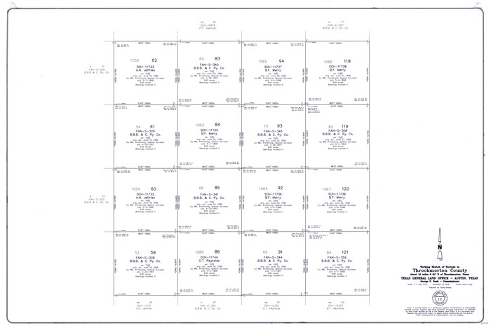

Print $20.00
- Digital $50.00
Throckmorton County Working Sketch 12
2019
Size 24.7 x 36.7 inches
Map/Doc 95719
Eleven County Map


Print $40.00
- Digital $50.00
Eleven County Map
Size 37.7 x 59.1 inches
Map/Doc 89807
[Plat showing well locations]
![91667, [Plat showing well locations], Twichell Survey Records](https://historictexasmaps.com/wmedia_w700/maps/91667-1.tif.jpg)
![91667, [Plat showing well locations], Twichell Survey Records](https://historictexasmaps.com/wmedia_w700/maps/91667-1.tif.jpg)
Print $3.00
- Digital $50.00
[Plat showing well locations]
Size 13.3 x 11.3 inches
Map/Doc 91667
Irion County Rolled Sketch 11
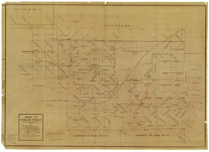

Print $40.00
- Digital $50.00
Irion County Rolled Sketch 11
1945
Size 38.5 x 52.9 inches
Map/Doc 9252
Childress County
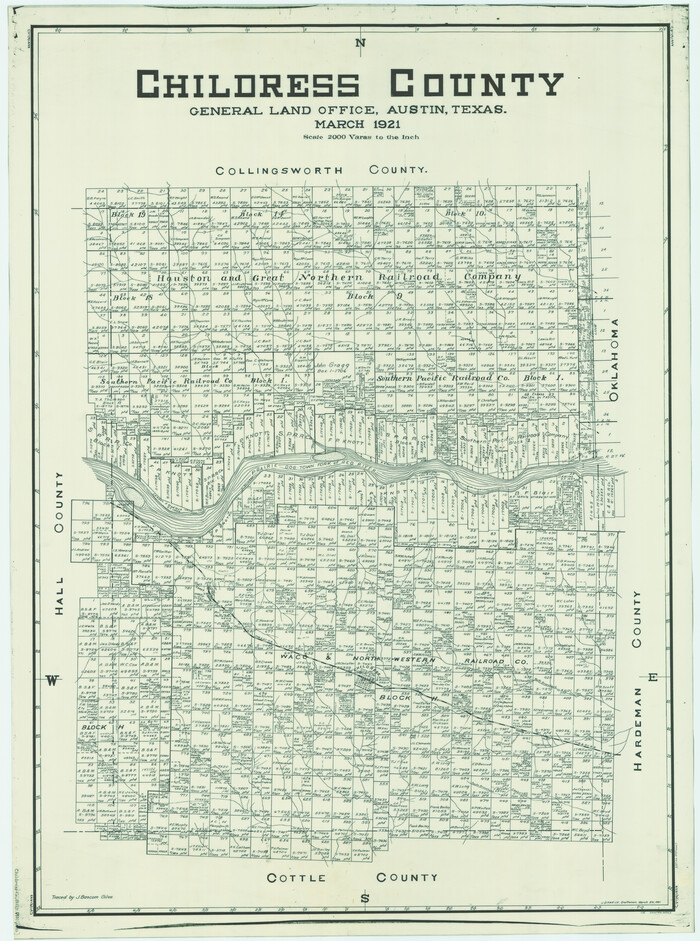

Print $20.00
- Digital $50.00
Childress County
1921
Size 43.8 x 32.6 inches
Map/Doc 66753
Hansford County Boundary File 3


Print $10.00
- Digital $50.00
Hansford County Boundary File 3
Size 13.6 x 8.7 inches
Map/Doc 54270
Eastland County Working Sketch 32


Print $20.00
- Digital $50.00
Eastland County Working Sketch 32
1956
Size 23.0 x 16.9 inches
Map/Doc 68813
Culberson County Working Sketch 64
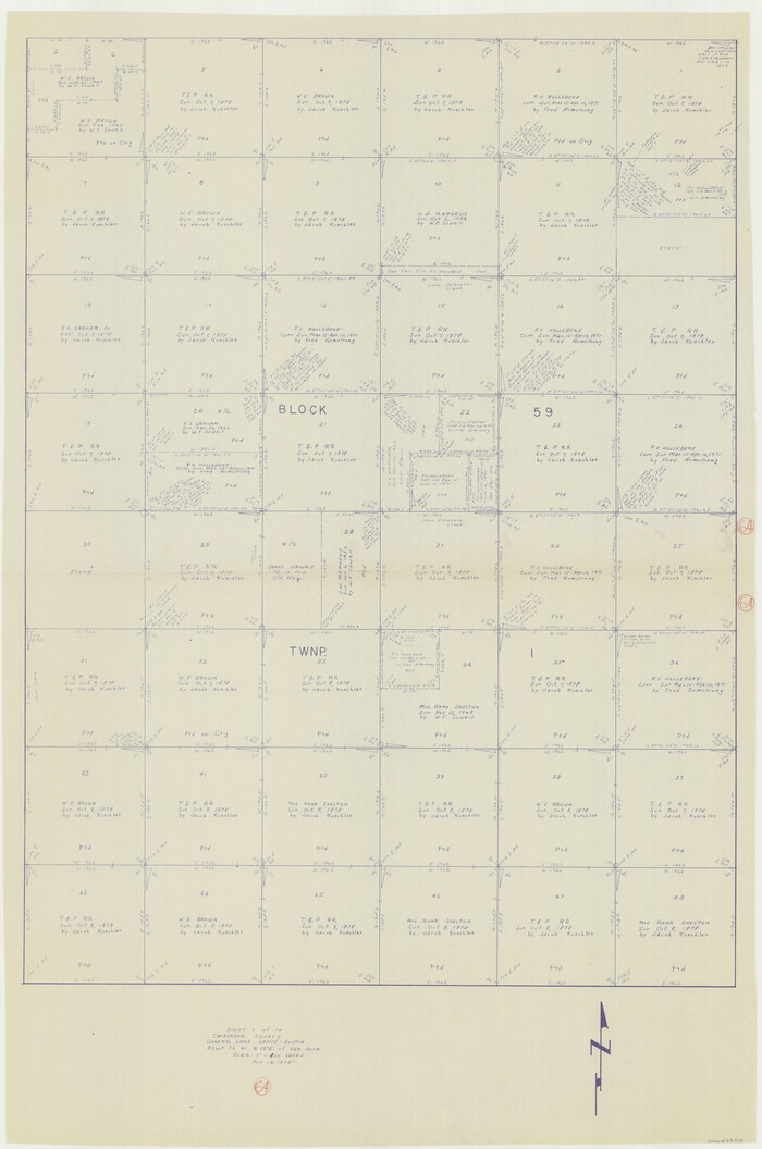

Print $20.00
- Digital $50.00
Culberson County Working Sketch 64
1975
Size 46.5 x 30.8 inches
Map/Doc 68518
Map of Asylum Lands


Print $20.00
- Digital $50.00
Map of Asylum Lands
1857
Size 22.0 x 29.1 inches
Map/Doc 2214
![2844, [Sketch for Mineral Application 26501 - Sabine River, T. A. Oldhausen], General Map Collection](https://historictexasmaps.com/wmedia_w1800h1800/maps/2844.tif.jpg)
