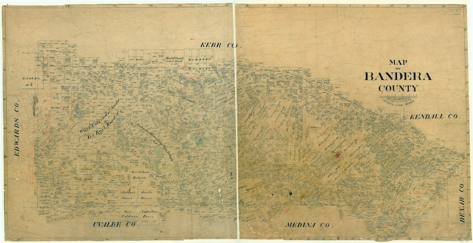
Map of Bandera County
-
Map/Doc
3273
-
Collection
General Map Collection
-
Object Dates
4/1885 (Creation Date)
-
People and Organizations
Texas General Land Office (Publisher)
Theo. F. Pinckney (Compiler)
-
Counties
Bandera
-
Subjects
County
-
Height x Width
31.3 x 60.9 inches
79.5 x 154.7 cm
-
Comments
Traced in November 1897.
Part of: General Map Collection
Duval County Sketch File 58

Print $20.00
- Digital $50.00
Duval County Sketch File 58
1940
Size 18.3 x 19.0 inches
Map/Doc 11406
Zapata County Rolled Sketch 25

Print $20.00
- Digital $50.00
Zapata County Rolled Sketch 25
Size 45.7 x 37.9 inches
Map/Doc 10172
Flight Mission No. DQO-8K, Frame 64, Galveston County

Print $20.00
- Digital $50.00
Flight Mission No. DQO-8K, Frame 64, Galveston County
1952
Size 18.6 x 22.4 inches
Map/Doc 85168
Map of Runnels County

Print $20.00
- Digital $50.00
Map of Runnels County
1867
Size 27.3 x 19.3 inches
Map/Doc 4003
Crockett County Working Sketch 56

Print $20.00
- Digital $50.00
Crockett County Working Sketch 56
1947
Size 28.5 x 46.7 inches
Map/Doc 68389
Edwards County Working Sketch 122

Print $20.00
- Digital $50.00
Edwards County Working Sketch 122
1976
Size 25.8 x 33.9 inches
Map/Doc 68998
Lavaca County Working Sketch 21

Print $20.00
- Digital $50.00
Lavaca County Working Sketch 21
1982
Size 16.1 x 18.1 inches
Map/Doc 70374
McCulloch County Sketch File 11

Print $14.00
- Digital $50.00
McCulloch County Sketch File 11
1929
Size 11.2 x 8.8 inches
Map/Doc 31191
Wichita County Working Sketch 3

Print $20.00
- Digital $50.00
Wichita County Working Sketch 3
1913
Size 22.2 x 15.6 inches
Map/Doc 72512
Refugio County Boundary File 3a

Print $28.00
- Digital $50.00
Refugio County Boundary File 3a
Size 14.1 x 8.8 inches
Map/Doc 58246
Edwards County Sketch File VII

Print $8.00
- Digital $50.00
Edwards County Sketch File VII
1912
Size 8.8 x 4.1 inches
Map/Doc 21668
Burleson County Working Sketch 17

Print $20.00
- Digital $50.00
Burleson County Working Sketch 17
1980
Size 20.5 x 37.6 inches
Map/Doc 67736
You may also like
Flight Mission No. CUG-3P, Frame 164, Kleberg County

Print $20.00
- Digital $50.00
Flight Mission No. CUG-3P, Frame 164, Kleberg County
1956
Size 18.5 x 22.2 inches
Map/Doc 86284
Nueces County Rolled Sketch 136

Print $40.00
- Digital $50.00
Nueces County Rolled Sketch 136
2006
Size 37.5 x 50.0 inches
Map/Doc 83556
Reeves County Sketch File 5

Print $20.00
- Digital $50.00
Reeves County Sketch File 5
Size 16.1 x 33.4 inches
Map/Doc 12241
Matagorda Bay and Approaches

Print $20.00
- Digital $50.00
Matagorda Bay and Approaches
1946
Size 35.2 x 44.8 inches
Map/Doc 73379
Kerr County Rolled Sketch 19

Print $20.00
- Digital $50.00
Kerr County Rolled Sketch 19
1954
Size 43.4 x 28.4 inches
Map/Doc 6501

Flight Mission No. BRA-6M, Frame 85, Jefferson County

Print $20.00
- Digital $50.00
Flight Mission No. BRA-6M, Frame 85, Jefferson County
1953
Size 18.6 x 22.4 inches
Map/Doc 85429
Flight Mission No. BRE-1P, Frame 149, Nueces County

Print $20.00
- Digital $50.00
Flight Mission No. BRE-1P, Frame 149, Nueces County
1956
Size 18.3 x 22.3 inches
Map/Doc 86709
Presidio County Sketch File 5a

Print $4.00
- Digital $50.00
Presidio County Sketch File 5a
1872
Size 12.9 x 8.3 inches
Map/Doc 34435
Brooks County Working Sketch 9

Print $20.00
- Digital $50.00
Brooks County Working Sketch 9
1931
Size 25.7 x 38.7 inches
Map/Doc 67793
Denton County Sketch File 2

Print $3.00
- Digital $50.00
Denton County Sketch File 2
1855
Size 15.4 x 9.8 inches
Map/Doc 20687
Terrell County Sketch File 33

Print $20.00
- Digital $50.00
Terrell County Sketch File 33
1924
Size 18.2 x 27.6 inches
Map/Doc 12427