Polk County Sketch File 20
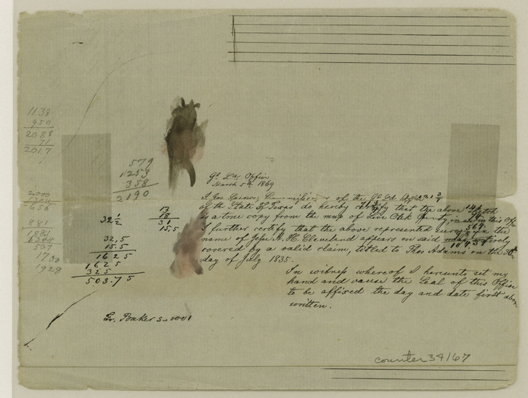
[Certification of a sketch in Live Oak County]
-
Map/Doc
34167
-
Collection
General Map Collection
-
Object Dates
12/1868 (File Date)
-
People and Organizations
William Armstrong (Surveyor/Engineer)
Joseph Spence (Surveyor/Engineer)
-
Counties
Polk Live Oak
-
Subjects
Surveying Sketch File
-
Height x Width
6.1 x 8.2 inches
15.5 x 20.8 cm
-
Medium
paper, manuscript
Part of: General Map Collection
Andrews County Rolled Sketch 12B

Print $20.00
- Digital $50.00
Andrews County Rolled Sketch 12B
1933
Size 39.9 x 37.8 inches
Map/Doc 8392
Schleicher County Working Sketch 5

Print $20.00
- Digital $50.00
Schleicher County Working Sketch 5
1917
Size 23.0 x 17.6 inches
Map/Doc 63807
Reagan County Sketch File 8

Print $20.00
- Digital $50.00
Reagan County Sketch File 8
Size 25.6 x 47.6 inches
Map/Doc 10584
Map of the lower surveys in Robertsons Colony Sold by the State of Coahuila and Texas

Print $20.00
- Digital $50.00
Map of the lower surveys in Robertsons Colony Sold by the State of Coahuila and Texas
1834
Size 22.0 x 28.5 inches
Map/Doc 122
Ochiltree County Working Sketch 4

Print $40.00
- Digital $50.00
Ochiltree County Working Sketch 4
1961
Size 89.2 x 38.4 inches
Map/Doc 71317
Falls County Sketch File 26

Print $7.00
- Digital $50.00
Falls County Sketch File 26
1876
Size 10.1 x 8.2 inches
Map/Doc 22433
Val Verde County Sketch File Z16

Print $20.00
- Digital $50.00
Val Verde County Sketch File Z16
1905
Size 21.4 x 20.9 inches
Map/Doc 12557

Edwards County Sketch File A13

Print $20.00
- Digital $50.00
Edwards County Sketch File A13
1901
Size 22.8 x 46.6 inches
Map/Doc 10444
Edwards County Rolled Sketch 9

Print $20.00
- Digital $50.00
Edwards County Rolled Sketch 9
1885
Size 29.3 x 42.8 inches
Map/Doc 5802
Orange County Sketch File 9a

Print $4.00
- Digital $50.00
Orange County Sketch File 9a
1873
Size 8.1 x 7.5 inches
Map/Doc 33313
Dimmit County Sketch File 49

Print $20.00
- Digital $50.00
Dimmit County Sketch File 49
1909
Size 17.3 x 26.8 inches
Map/Doc 11358
You may also like
Wilson County Working Sketch 8

Print $20.00
- Digital $50.00
Wilson County Working Sketch 8
1975
Size 36.5 x 31.9 inches
Map/Doc 72588
Presidio County Working Sketch 38

Print $20.00
- Digital $50.00
Presidio County Working Sketch 38
1948
Size 35.0 x 22.2 inches
Map/Doc 71715
Cass County Working Sketch 41

Print $20.00
- Digital $50.00
Cass County Working Sketch 41
1985
Size 34.0 x 42.7 inches
Map/Doc 67944
Newton County Sketch File 20

Print $4.00
- Digital $50.00
Newton County Sketch File 20
1893
Size 14.2 x 8.7 inches
Map/Doc 32395
Parker County Working Sketch 28

Print $20.00
- Digital $50.00
Parker County Working Sketch 28
2009
Map/Doc 89011
Block 39 of the Brown Subdivision being a part of the Northeast Quarter Section 4, Block O

Print $20.00
- Digital $50.00
Block 39 of the Brown Subdivision being a part of the Northeast Quarter Section 4, Block O
1954
Size 14.8 x 14.2 inches
Map/Doc 92822
Duval County Sketch File 74

Print $42.00
- Digital $50.00
Duval County Sketch File 74
Size 10.1 x 8.8 inches
Map/Doc 21465
Wichita County Sketch File 14

Print $20.00
- Digital $50.00
Wichita County Sketch File 14
1885
Size 17.7 x 17.0 inches
Map/Doc 12678
Hudspeth County Working Sketch 38

Print $20.00
- Digital $50.00
Hudspeth County Working Sketch 38
1978
Size 31.8 x 36.9 inches
Map/Doc 66323
Webb County Rolled Sketch 17

Print $20.00
- Digital $50.00
Webb County Rolled Sketch 17
1915
Size 16.7 x 14.7 inches
Map/Doc 8180
Parker County Sketch File 18

Print $4.00
- Digital $50.00
Parker County Sketch File 18
1876
Size 8.9 x 6.3 inches
Map/Doc 33554
Jeff Davis County Rolled Sketch 21

Print $20.00
- Digital $50.00
Jeff Davis County Rolled Sketch 21
1946
Size 46.5 x 38.7 inches
Map/Doc 9267