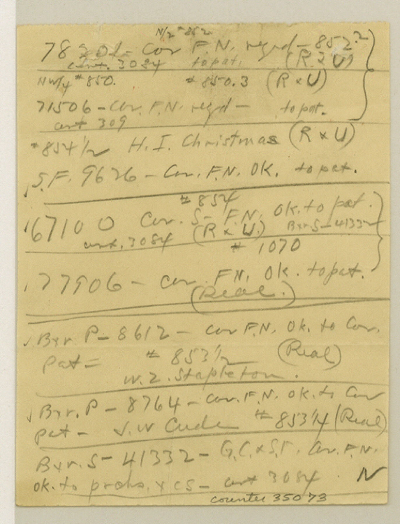
Real County Sketch File 17
[Surveyor's statement regarding surveys in Real and Uvalde Counties in the southeast part of Real County]
-
Map/Doc
35073
-
Collection
General Map Collection
-
Object Dates
1/2/1942 (Creation Date)
1/6/1942 (File Date)
-
People and Organizations
F.A. Mansfield (Surveyor/Engineer)
-
Counties
Real Uvalde
-
Subjects
Surveying Sketch File
-
Height x Width
5.6 x 4.3 inches
14.2 x 10.9 cm
-
Medium
paper, print
-
Comments
See Real County Rolled Sketch 1 (7452) for sketch.
Related maps
Real County Rolled Sketch 1

Print $20.00
- Digital $50.00
Real County Rolled Sketch 1
1941
Size 20.6 x 28.9 inches
Map/Doc 7452
Part of: General Map Collection
[Beaumont, Sour Lake and Western Ry. Right of Way and Alignment - Frisco]
![64122, [Beaumont, Sour Lake and Western Ry. Right of Way and Alignment - Frisco], General Map Collection](https://historictexasmaps.com/wmedia_w700/maps/64122.tif.jpg)
Print $20.00
- Digital $50.00
[Beaumont, Sour Lake and Western Ry. Right of Way and Alignment - Frisco]
1910
Size 19.8 x 45.9 inches
Map/Doc 64122
Robertson County Working Sketch 5

Print $20.00
- Digital $50.00
Robertson County Working Sketch 5
1980
Size 33.9 x 44.1 inches
Map/Doc 63578
Midland County Working Sketch 29

Print $40.00
- Digital $50.00
Midland County Working Sketch 29
1971
Size 49.4 x 35.6 inches
Map/Doc 71010
Wharton County Rolled Sketch 5

Print $20.00
- Digital $50.00
Wharton County Rolled Sketch 5
1899
Size 19.3 x 24.6 inches
Map/Doc 8229
Hays County Working Sketch 14

Print $20.00
- Digital $50.00
Hays County Working Sketch 14
1964
Size 23.7 x 19.7 inches
Map/Doc 66088
Hall County Working Sketch 8

Print $20.00
- Digital $50.00
Hall County Working Sketch 8
1959
Size 29.4 x 32.8 inches
Map/Doc 63336
Zapata County

Print $40.00
- Digital $50.00
Zapata County
1901
Size 53.1 x 38.0 inches
Map/Doc 63143
Crockett County Rolled Sketch 71

Print $40.00
- Digital $50.00
Crockett County Rolled Sketch 71
1949
Size 54.5 x 38.9 inches
Map/Doc 8722
Flight Mission No. DQO-2K, Frame 144, Galveston County

Print $20.00
- Digital $50.00
Flight Mission No. DQO-2K, Frame 144, Galveston County
1952
Size 18.8 x 22.5 inches
Map/Doc 85041
Flight Mission No. DQN-2K, Frame 2, Calhoun County

Print $20.00
- Digital $50.00
Flight Mission No. DQN-2K, Frame 2, Calhoun County
1953
Size 18.6 x 22.3 inches
Map/Doc 84219
United States - Gulf Coast - From Latitude 26° 33' to the Rio Grande Texas

Print $20.00
- Digital $50.00
United States - Gulf Coast - From Latitude 26° 33' to the Rio Grande Texas
1918
Size 27.6 x 18.2 inches
Map/Doc 72851
Part of Matagorda Bay & Peninsula, Texas

Print $40.00
- Digital $50.00
Part of Matagorda Bay & Peninsula, Texas
1856
Size 31.8 x 51.4 inches
Map/Doc 69978
You may also like
Flight Mission No. CUG-1P, Frame 27, Kleberg County

Print $20.00
- Digital $50.00
Flight Mission No. CUG-1P, Frame 27, Kleberg County
1956
Size 18.4 x 22.1 inches
Map/Doc 86117
Jim Wells County Boundary File 3

Print $10.00
- Digital $50.00
Jim Wells County Boundary File 3
Size 9.3 x 6.0 inches
Map/Doc 55546
Webb County Rolled Sketch EF5

Print $20.00
- Digital $50.00
Webb County Rolled Sketch EF5
1931
Size 41.4 x 32.0 inches
Map/Doc 8227
Jeff Davis County Working Sketch 37

Print $20.00
- Digital $50.00
Jeff Davis County Working Sketch 37
1979
Size 31.6 x 36.6 inches
Map/Doc 66532
Red River, Bois D'Arc Creek Floodway Sheet No. 8

Print $20.00
- Digital $50.00
Red River, Bois D'Arc Creek Floodway Sheet No. 8
1928
Size 17.6 x 24.8 inches
Map/Doc 65272
Sketch Showing Portion of League 4, Wilson County School Land, Lynn County, Texas

Print $20.00
- Digital $50.00
Sketch Showing Portion of League 4, Wilson County School Land, Lynn County, Texas
Size 13.5 x 13.0 inches
Map/Doc 92940
General Highway Map, Runnels County, Texas

Print $20.00
General Highway Map, Runnels County, Texas
1940
Size 24.7 x 18.3 inches
Map/Doc 79231
Matagorda County Sketch File 7

Print $20.00
- Digital $50.00
Matagorda County Sketch File 7
1890
Size 37.3 x 24.6 inches
Map/Doc 12038
Kinney County Working Sketch 38

Print $20.00
- Digital $50.00
Kinney County Working Sketch 38
1971
Size 28.9 x 30.6 inches
Map/Doc 70220

[Galveston, Harrisburg & San Antonio through El Paso County]
![64009, [Galveston, Harrisburg & San Antonio through El Paso County], General Map Collection](https://historictexasmaps.com/wmedia_w700/maps/64009.tif.jpg)
Print $20.00
- Digital $50.00
[Galveston, Harrisburg & San Antonio through El Paso County]
1906
Size 13.6 x 33.8 inches
Map/Doc 64009
Crockett County Sketch File KL

Print $20.00
- Digital $50.00
Crockett County Sketch File KL
1925
Size 30.0 x 28.7 inches
Map/Doc 11243