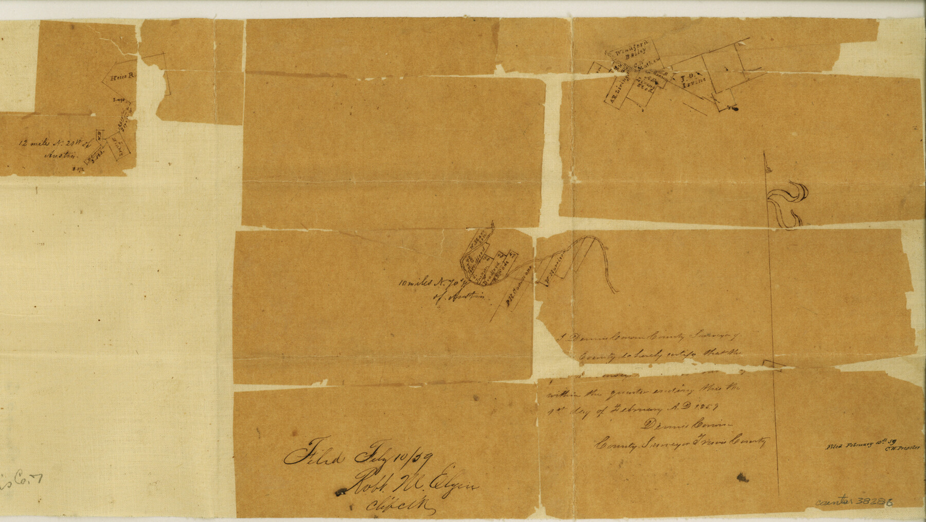
Travis County Sketch File 7
[Sketches of multiple areas in Travis County]
-
Map/Doc
38286
-
Collection
General Map Collection
-
Object Dates
2/1/1859 (Creation Date)
2/10/1859 (File Date)
-
People and Organizations
Dennis Corwin (Surveyor/Engineer)
-
Counties
Travis
-
Subjects
Surveying Sketch File
-
Height x Width
9.6 x 17.0 inches
24.4 x 43.2 cm
-
Medium
paper, manuscript
Part of: General Map Collection
Greer County Sketch File 5

Print $8.00
- Digital $50.00
Greer County Sketch File 5
1883
Size 10.0 x 15.6 inches
Map/Doc 24521
Report of Construction re: MA 46948, H. C. Henson

Print $2.00
- Digital $50.00
Report of Construction re: MA 46948, H. C. Henson
1954
Size 11.1 x 8.9 inches
Map/Doc 62571
Carson County Sketch File 6a

Print $10.00
- Digital $50.00
Carson County Sketch File 6a
1928
Size 14.1 x 8.4 inches
Map/Doc 17374
San Jacinto County Rolled Sketch 14

Print $20.00
- Digital $50.00
San Jacinto County Rolled Sketch 14
1998
Size 26.5 x 37.3 inches
Map/Doc 7568
Cameron County Rolled Sketch 22

Print $63.00
- Digital $50.00
Cameron County Rolled Sketch 22
Size 9.8 x 15.0 inches
Map/Doc 43919
Reagan County Sketch File 12

Print $20.00
- Digital $50.00
Reagan County Sketch File 12
1928
Size 23.2 x 18.3 inches
Map/Doc 12218
Gonzales County Working Sketch 10

Print $20.00
- Digital $50.00
Gonzales County Working Sketch 10
1981
Size 18.9 x 14.7 inches
Map/Doc 63226
Bosque County Boundary File 11

Print $10.00
- Digital $50.00
Bosque County Boundary File 11
Size 8.8 x 7.0 inches
Map/Doc 50689
Wise County Sketch File 2

Print $8.00
- Digital $50.00
Wise County Sketch File 2
1856
Size 8.2 x 13.4 inches
Map/Doc 40523
Aransas County Rolled Sketch 4

Print $20.00
- Digital $50.00
Aransas County Rolled Sketch 4
1952
Size 28.9 x 26.4 inches
Map/Doc 77189
Pecos County Sketch File 82

Print $46.00
- Digital $50.00
Pecos County Sketch File 82
1944
Size 14.2 x 8.8 inches
Map/Doc 33927
Flight Mission No. CRC-4R, Frame 102, Chambers County

Print $20.00
- Digital $50.00
Flight Mission No. CRC-4R, Frame 102, Chambers County
1956
Size 18.5 x 22.4 inches
Map/Doc 84899
You may also like
Hutchinson County Rolled Sketch 44-9

Print $20.00
- Digital $50.00
Hutchinson County Rolled Sketch 44-9
2002
Size 24.0 x 36.0 inches
Map/Doc 77545
Hutchinson County Boundary File 1a

Print $10.00
- Digital $50.00
Hutchinson County Boundary File 1a
Size 7.3 x 8.7 inches
Map/Doc 55297
Foard County Boundary File 4

Print $24.00
- Digital $50.00
Foard County Boundary File 4
Size 14.2 x 8.8 inches
Map/Doc 53524
Map of Caldwell County, Texas

Print $20.00
Map of Caldwell County, Texas
1879
Size 17.4 x 21.5 inches
Map/Doc 88914
Flight Mission No. DCL-7C, Frame 55, Kenedy County

Print $20.00
- Digital $50.00
Flight Mission No. DCL-7C, Frame 55, Kenedy County
1943
Size 15.2 x 15.2 inches
Map/Doc 86043
Bryan Walker Farm

Print $20.00
- Digital $50.00
Bryan Walker Farm
Size 17.1 x 15.5 inches
Map/Doc 92339
Concho County Rolled Sketch 26

Print $20.00
- Digital $50.00
Concho County Rolled Sketch 26
1979
Size 15.1 x 18.1 inches
Map/Doc 5558
Sherman County Sketch File A

Print $4.00
- Digital $50.00
Sherman County Sketch File A
1917
Size 11.2 x 8.8 inches
Map/Doc 44250
Newton County Working Sketch 10

Print $20.00
- Digital $50.00
Newton County Working Sketch 10
1941
Size 17.1 x 21.6 inches
Map/Doc 71256
Reagan County Rolled Sketch 30

Print $20.00
- Digital $50.00
Reagan County Rolled Sketch 30
Size 32.7 x 28.5 inches
Map/Doc 7446
Knox County Working Sketch 4

Print $20.00
- Digital $50.00
Knox County Working Sketch 4
1919
Size 18.0 x 25.6 inches
Map/Doc 70246
Flight Mission No. DQO-8K, Frame 49, Galveston County

Print $20.00
- Digital $50.00
Flight Mission No. DQO-8K, Frame 49, Galveston County
1952
Size 18.7 x 22.3 inches
Map/Doc 85156