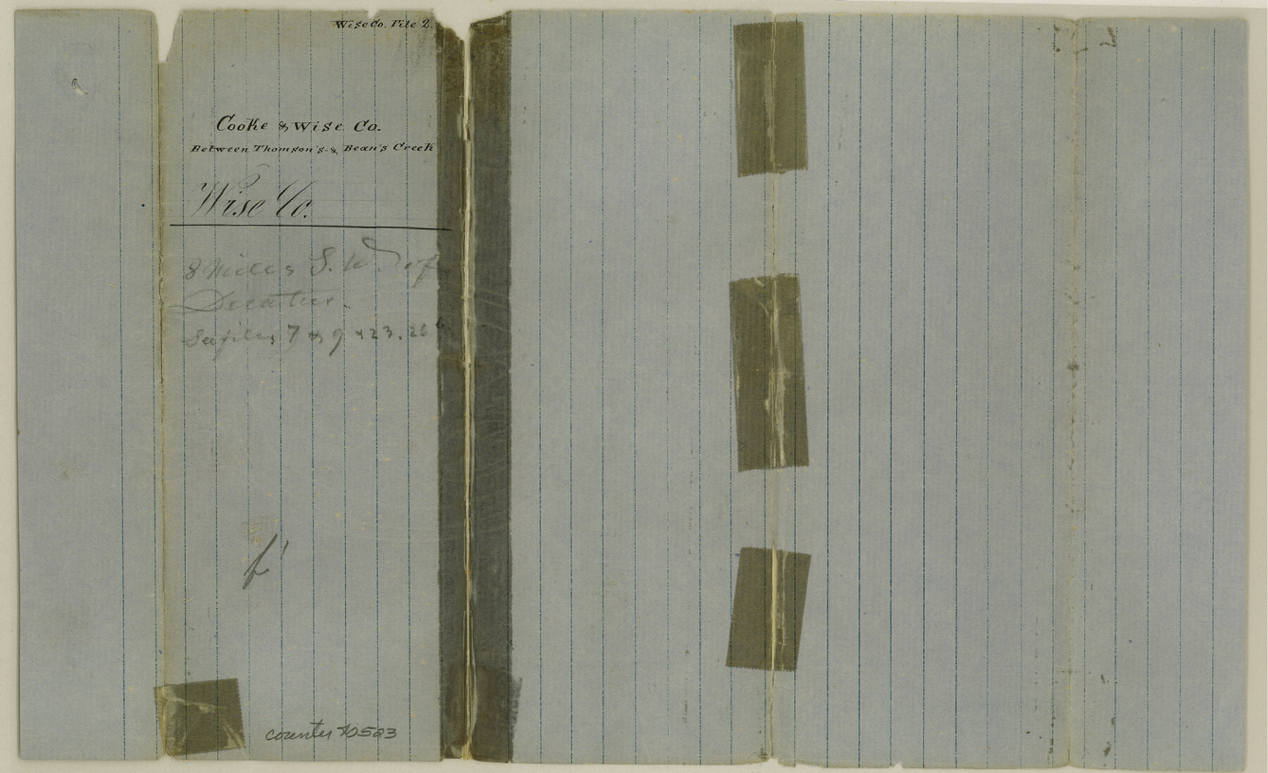
Wise County Sketch File 2
[Sketch of surveys in the southwest part of the county]
-
Map/Doc
40523
-
Collection
General Map Collection
-
Object Dates
5/17/1856 (Creation Date)
6/2/1856 (File Date)
-
People and Organizations
R.W. Allen (Surveyor/Engineer)
-
Counties
Wise Jack
-
Subjects
Surveying Sketch File
-
Height x Width
8.2 x 13.4 inches
20.8 x 34.0 cm
-
Medium
paper, manuscript
-
Features
Thompson's Creek
Bean's Creek
Part of: General Map Collection
McCulloch County Working Sketch 2

Print $20.00
- Digital $50.00
McCulloch County Working Sketch 2
1947
Size 23.9 x 29.6 inches
Map/Doc 70677
Dickens County Working Sketch Graphic Index

Print $20.00
- Digital $50.00
Dickens County Working Sketch Graphic Index
1963
Size 42.5 x 33.6 inches
Map/Doc 76523
Navarro County Sketch File 9

Print $2.00
- Digital $50.00
Navarro County Sketch File 9
Size 8.3 x 9.1 inches
Map/Doc 32317
Nueces County Sketch File 49

Print $20.00
- Digital $50.00
Nueces County Sketch File 49
1956
Size 32.4 x 17.1 inches
Map/Doc 42193
Map of Terry County

Print $20.00
- Digital $50.00
Map of Terry County
1901
Size 43.1 x 39.8 inches
Map/Doc 16892
Map of McMullen County

Print $20.00
- Digital $50.00
Map of McMullen County
1887
Size 26.8 x 18.6 inches
Map/Doc 3866
Pecos County Rolled Sketch 141

Print $40.00
- Digital $50.00
Pecos County Rolled Sketch 141
1927
Size 60.5 x 20.4 inches
Map/Doc 10722
United States - Gulf Coast Texas - Southern part of Laguna Madre

Print $20.00
- Digital $50.00
United States - Gulf Coast Texas - Southern part of Laguna Madre
1933
Size 27.1 x 18.3 inches
Map/Doc 72950

Map of San Gabriel & Lampassas [sic] Surveys
![58, Map of San Gabriel & Lampassas [sic] Surveys, General Map Collection](https://historictexasmaps.com/wmedia_w700/maps/58.tif.jpg)
Print $20.00
- Digital $50.00
Map of San Gabriel & Lampassas [sic] Surveys
1841
Size 29.0 x 20.0 inches
Map/Doc 58
Map of Presidio County

Print $20.00
- Digital $50.00
Map of Presidio County
1895
Size 47.7 x 38.5 inches
Map/Doc 66987
Baylor County Working Sketch 1

Print $20.00
- Digital $50.00
Baylor County Working Sketch 1
1912
Size 19.9 x 12.7 inches
Map/Doc 67286
You may also like
Pecos County Working Sketch 113

Print $40.00
- Digital $50.00
Pecos County Working Sketch 113
1972
Size 36.1 x 58.2 inches
Map/Doc 71586
Dallam County Sketch File 10

Print $20.00
- Digital $50.00
Dallam County Sketch File 10
1925
Size 7.2 x 8.6 inches
Map/Doc 20367

Stonewall County Working Sketch 7

Print $20.00
- Digital $50.00
Stonewall County Working Sketch 7
1949
Size 30.7 x 24.5 inches
Map/Doc 62314
Jefferson County Sketch File 5

Print $50.00
- Digital $50.00
Jefferson County Sketch File 5
1859
Size 7.9 x 6.9 inches
Map/Doc 28103
Calhoun County Working Sketch 14

Print $20.00
- Digital $50.00
Calhoun County Working Sketch 14
1991
Size 28.7 x 33.9 inches
Map/Doc 67830
Presidio County Working Sketch 50

Print $20.00
- Digital $50.00
Presidio County Working Sketch 50
1953
Size 45.2 x 41.5 inches
Map/Doc 71727
Palo Pinto County Sketch File 20

Print $6.00
- Digital $50.00
Palo Pinto County Sketch File 20
1891
Size 12.5 x 10.9 inches
Map/Doc 33402
United States - Gulf Coast Texas - Northern part of Laguna Madre

Print $20.00
- Digital $50.00
United States - Gulf Coast Texas - Northern part of Laguna Madre
1923
Size 26.7 x 18.2 inches
Map/Doc 72930
Presidio County Working Sketch 70

Print $20.00
- Digital $50.00
Presidio County Working Sketch 70
1961
Size 46.8 x 37.4 inches
Map/Doc 71747
Presidio County Working Sketch 12

Print $20.00
- Digital $50.00
Presidio County Working Sketch 12
1941
Size 22.3 x 19.9 inches
Map/Doc 71687
Wichita County Sketch File 12

Print $6.00
- Digital $50.00
Wichita County Sketch File 12
1881
Size 10.2 x 8.3 inches
Map/Doc 40074