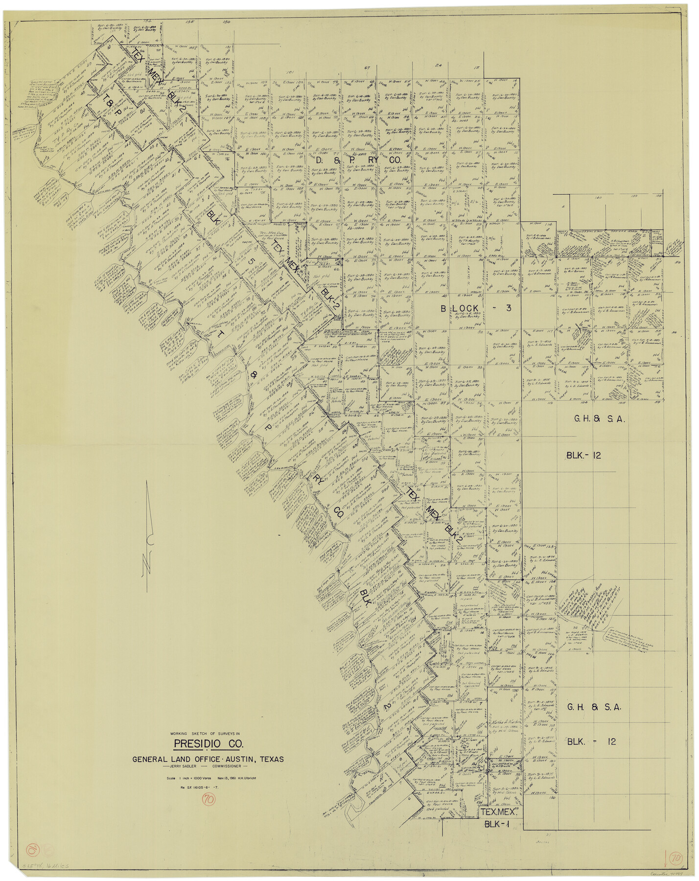
Presidio County Working Sketch 70
-
Map/Doc
71747
-
Collection
General Map Collection
-
Object Dates
11/13/1961 (Creation Date)
-
People and Organizations
Herbert H. Ulbricht (Draftsman)
-
Counties
Presidio
-
Subjects
Surveying Working Sketch
-
Height x Width
46.8 x 37.4 inches
118.9 x 95.0 cm
-
Scale
1" = 1000 varas
Part of: General Map Collection
El Paso County

Print $40.00
- Digital $50.00
El Paso County
1881
Size 51.5 x 15.7 inches
Map/Doc 89057
Rusk County Working Sketch 20a

Print $20.00
- Digital $50.00
Rusk County Working Sketch 20a
Size 17.8 x 21.3 inches
Map/Doc 63655
Erath County Sketch File 1

Print $4.00
- Digital $50.00
Erath County Sketch File 1
Size 3.9 x 8.1 inches
Map/Doc 22253
Lamar County Working Sketch 8

Print $20.00
- Digital $50.00
Lamar County Working Sketch 8
1969
Size 39.3 x 31.6 inches
Map/Doc 70269
Castro County Sketch File 4j

Print $4.00
- Digital $50.00
Castro County Sketch File 4j
Size 13.5 x 8.7 inches
Map/Doc 17483
Culberson Co.

Print $40.00
- Digital $50.00
Culberson Co.
1943
Size 52.2 x 33.2 inches
Map/Doc 73124
Harris County Boundary File 3

Print $16.00
- Digital $50.00
Harris County Boundary File 3
Size 14.7 x 7.0 inches
Map/Doc 54298
Goliad County Sketch File 24

Print $16.00
- Digital $50.00
Goliad County Sketch File 24
1856
Size 12.9 x 8.2 inches
Map/Doc 24297
El Paso County Working Sketch 52

Print $20.00
- Digital $50.00
El Paso County Working Sketch 52
1992
Size 29.1 x 16.1 inches
Map/Doc 69074
Childress County

Print $20.00
- Digital $50.00
Childress County
1883
Size 20.6 x 17.4 inches
Map/Doc 3393

Flight Mission No. BQR-20K, Frame 15, Brazoria County

Print $20.00
- Digital $50.00
Flight Mission No. BQR-20K, Frame 15, Brazoria County
1952
Size 18.6 x 22.3 inches
Map/Doc 84117
You may also like
Flight Mission No. BRE-2P, Frame 133, Nueces County

Print $20.00
- Digital $50.00
Flight Mission No. BRE-2P, Frame 133, Nueces County
1956
Size 18.5 x 22.5 inches
Map/Doc 86806
Flight Mission No. DAG-14K, Frame 134, Matagorda County

Print $20.00
- Digital $50.00
Flight Mission No. DAG-14K, Frame 134, Matagorda County
1952
Size 17.6 x 17.4 inches
Map/Doc 86305
Location of the Southern Kansas Railway of Texas, Roberts County, Texas

Print $40.00
- Digital $50.00
Location of the Southern Kansas Railway of Texas, Roberts County, Texas
1887
Size 20.0 x 75.1 inches
Map/Doc 64037
Liberty County Sketch File X

Print $20.00
- Digital $50.00
Liberty County Sketch File X
Size 39.0 x 24.9 inches
Map/Doc 76769
Live Oak County Working Sketch 15

Print $20.00
- Digital $50.00
Live Oak County Working Sketch 15
1952
Size 23.8 x 22.6 inches
Map/Doc 70600
Roberts County Rolled Sketch 3

Print $40.00
- Digital $50.00
Roberts County Rolled Sketch 3
Size 38.0 x 49.7 inches
Map/Doc 8354
Crockett County Sketch File 55

Print $6.00
- Digital $50.00
Crockett County Sketch File 55
1923
Size 11.2 x 8.5 inches
Map/Doc 19829
Marion County Working Sketch 13

Print $20.00
- Digital $50.00
Marion County Working Sketch 13
1953
Size 33.2 x 36.3 inches
Map/Doc 70789
Freestone County Rolled Sketch 2

Print $20.00
- Digital $50.00
Freestone County Rolled Sketch 2
1952
Size 27.1 x 30.2 inches
Map/Doc 5910
Starr County Working Sketch 4

Print $20.00
- Digital $50.00
Starr County Working Sketch 4
1927
Size 38.5 x 28.9 inches
Map/Doc 63920
Hardeman County Sketch File 32

Print $4.00
- Digital $50.00
Hardeman County Sketch File 32
Size 11.1 x 8.9 inches
Map/Doc 25068
San Augustine County Sketch File 21

Print $4.00
- Digital $50.00
San Augustine County Sketch File 21
1873
Size 12.8 x 7.9 inches
Map/Doc 35685