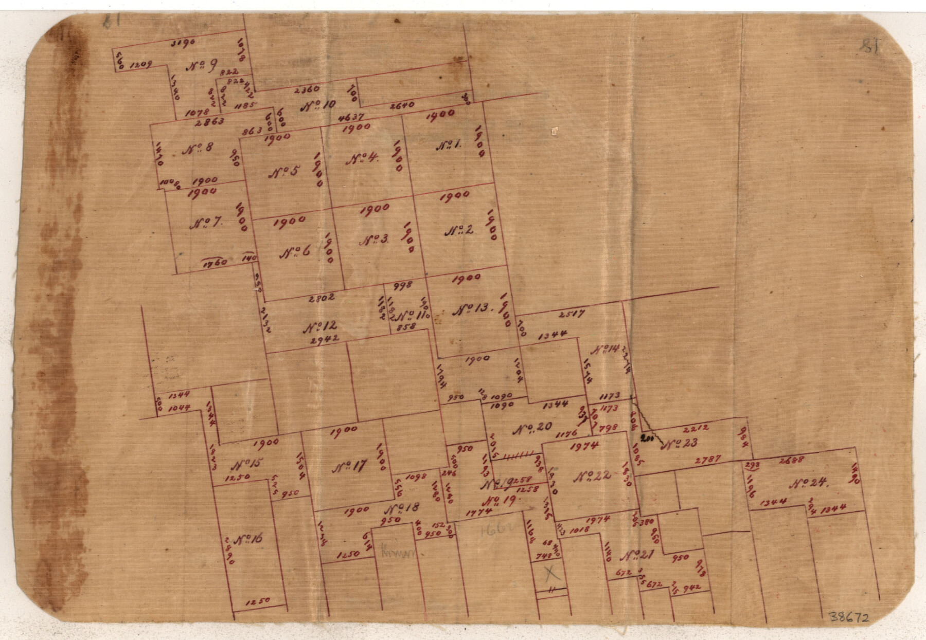
Tyler County Sketch File 19a
[Sketch of E. T. R.R. Co. surveys in the southwest corner of the county]
-
Map/Doc
38672
-
Collection
General Map Collection
-
Counties
Tyler
-
Subjects
Surveying Sketch File
-
Height x Width
8.1 x 14.1 inches
20.6 x 35.8 cm
-
Medium
paper, manuscript
Part of: General Map Collection
Shelby County Rolled Sketch 12

Print $20.00
- Digital $50.00
Shelby County Rolled Sketch 12
1945
Size 15.9 x 27.2 inches
Map/Doc 7780
Dimmit County Sketch File 43

Print $20.00
- Digital $50.00
Dimmit County Sketch File 43
1905
Size 22.1 x 19.2 inches
Map/Doc 11353
Map of Location and Right of Way from El Paso, Tex. To New Mexico Line, Rio Grande & El Paso R.R.

Print $20.00
- Digital $50.00
Map of Location and Right of Way from El Paso, Tex. To New Mexico Line, Rio Grande & El Paso R.R.
Size 14.0 x 20.9 inches
Map/Doc 64085
Map of the Lands Surveyed by the Memphis, El Paso & Pacific R.R. Company

Print $20.00
- Digital $50.00
Map of the Lands Surveyed by the Memphis, El Paso & Pacific R.R. Company
1859
Size 11.4 x 18.6 inches
Map/Doc 4850
Walker County Sketch File 2

Print $6.00
- Digital $50.00
Walker County Sketch File 2
1854
Size 10.5 x 15.9 inches
Map/Doc 39549
Hamilton County Sketch File 8

Print $4.00
- Digital $50.00
Hamilton County Sketch File 8
1860
Size 12.2 x 8.0 inches
Map/Doc 24914
Right of Way and Track Map, the Missouri, Kansas and Texas Ry. of Texas - Henrietta Division

Print $20.00
- Digital $50.00
Right of Way and Track Map, the Missouri, Kansas and Texas Ry. of Texas - Henrietta Division
1918
Size 11.8 x 26.8 inches
Map/Doc 64755
McCulloch County Working Sketch 18

Print $20.00
- Digital $50.00
McCulloch County Working Sketch 18
1997
Size 42.9 x 32.8 inches
Map/Doc 70693
Intracoastal Waterway in Texas - Corpus Christi to Point Isabel including Arroyo Colorado to Mo. Pac. R.R. Bridge Near Harlingen

Print $20.00
- Digital $50.00
Intracoastal Waterway in Texas - Corpus Christi to Point Isabel including Arroyo Colorado to Mo. Pac. R.R. Bridge Near Harlingen
1933
Size 27.8 x 40.9 inches
Map/Doc 61864
[Victoria District]
![1945, [Victoria District], General Map Collection](https://historictexasmaps.com/wmedia_w700/maps/1945.tif.jpg)
Print $20.00
- Digital $50.00
[Victoria District]
Size 34.8 x 25.6 inches
Map/Doc 1945
Newton County Sketch File 4

Print $22.00
- Digital $50.00
Newton County Sketch File 4
1876
Size 8.0 x 12.8 inches
Map/Doc 32360
Hill County Sketch File 25

Print $4.00
- Digital $50.00
Hill County Sketch File 25
Size 7.9 x 10.9 inches
Map/Doc 26520
You may also like
Dimmit County Working Sketch 24

Print $20.00
- Digital $50.00
Dimmit County Working Sketch 24
1954
Size 28.9 x 24.0 inches
Map/Doc 68685
Freestone County Rolled Sketch 11

Print $20.00
- Digital $50.00
Freestone County Rolled Sketch 11
Size 23.3 x 33.9 inches
Map/Doc 5912
Flight Mission No. DAG-23K, Frame 171, Matagorda County

Print $20.00
- Digital $50.00
Flight Mission No. DAG-23K, Frame 171, Matagorda County
1953
Size 18.6 x 22.4 inches
Map/Doc 86509
Tarrant County Working Sketch 4

Print $20.00
- Digital $50.00
Tarrant County Working Sketch 4
1952
Size 20.6 x 19.7 inches
Map/Doc 62421
Pecos County Working Sketch 14

Print $20.00
- Digital $50.00
Pecos County Working Sketch 14
1912
Size 16.7 x 13.5 inches
Map/Doc 71484
Calhoun County NRC Article 33.136 Sketch 11

Digital $50.00
Calhoun County NRC Article 33.136 Sketch 11
2023
Map/Doc 97255
Nueces River, La Fruta Sheet

Print $20.00
- Digital $50.00
Nueces River, La Fruta Sheet
1927
Size 36.4 x 37.2 inches
Map/Doc 65089
Kaufman County State Real Property Sketch 2

Print $20.00
- Digital $50.00
Kaufman County State Real Property Sketch 2
2007
Size 24.2 x 35.4 inches
Map/Doc 88672
Foard County Rolled Sketch 14 1/2

Print $20.00
- Digital $50.00
Foard County Rolled Sketch 14 1/2
1888
Size 20.8 x 37.4 inches
Map/Doc 5889
Collingsworth County

Print $20.00
- Digital $50.00
Collingsworth County
1971
Size 42.7 x 35.8 inches
Map/Doc 95460
Hamilton County Rolled Sketch 11

Print $20.00
- Digital $50.00
Hamilton County Rolled Sketch 11
Size 20.1 x 14.1 inches
Map/Doc 6060
Flight Mission No. CRC-5R, Frame 18, Chambers County

Print $20.00
- Digital $50.00
Flight Mission No. CRC-5R, Frame 18, Chambers County
1956
Size 18.7 x 22.4 inches
Map/Doc 84940