[Map of Sterling County]
-
Map/Doc
4055
-
Collection
General Map Collection
-
Object Dates
1919 (Creation Date)
-
People and Organizations
Texas General Land Office (Publisher)
-
Counties
Sterling
-
Subjects
County
-
Height x Width
30.2 x 22.8 inches
76.7 x 57.9 cm
-
Comments
Tracing of Kellis' 1919 map of Sterling County.
Part of: General Map Collection
Pecos County Sketch File 56

Print $20.00
- Digital $50.00
Pecos County Sketch File 56
Size 35.6 x 28.6 inches
Map/Doc 10571
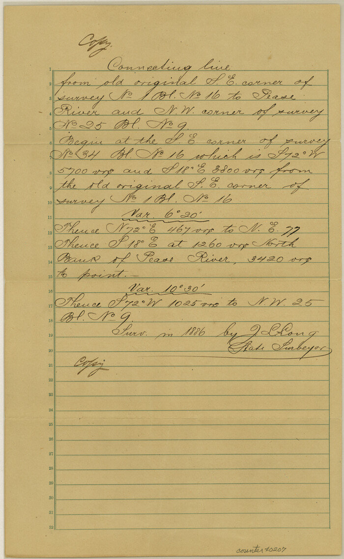
Wilbarger County Sketch File 17

Print $4.00
- Digital $50.00
Wilbarger County Sketch File 17
1886
Size 14.2 x 8.7 inches
Map/Doc 40207
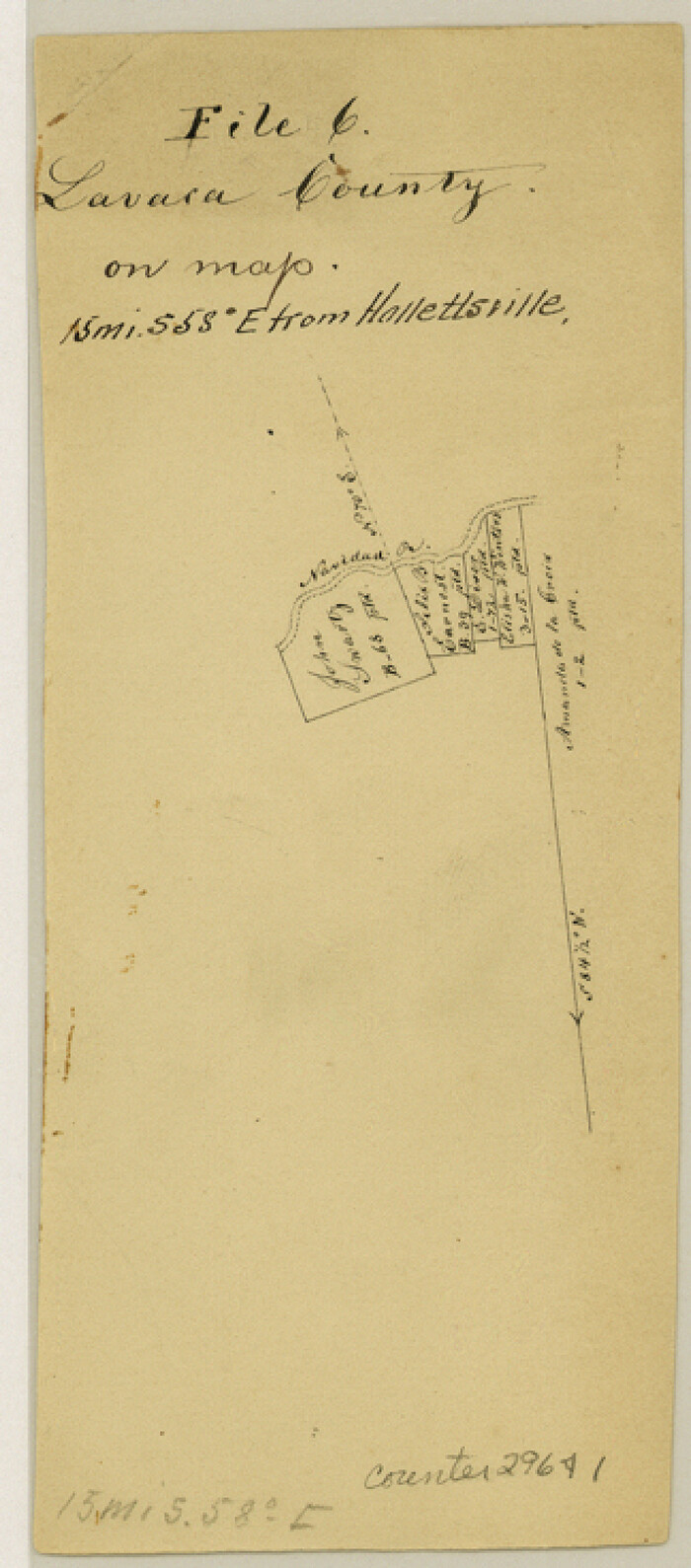
Lavaca County Sketch File 6

Print $2.00
- Digital $50.00
Lavaca County Sketch File 6
Size 7.3 x 3.2 inches
Map/Doc 29641
Robertson County Sketch File 6


Print $4.00
Robertson County Sketch File 6
1870
Size 8.9 x 7.6 inches
Map/Doc 35362
Starr County Rolled Sketch 15


Print $20.00
- Digital $50.00
Starr County Rolled Sketch 15
1913
Size 22.7 x 23.6 inches
Map/Doc 7800
[Atlas A, Table of Contents, part 2]
![82085, [Atlas A, Table of Contents, part 2], General Map Collection](https://historictexasmaps.com/wmedia_w700/maps/82085.tif.jpg)
![82085, [Atlas A, Table of Contents, part 2], General Map Collection](https://historictexasmaps.com/wmedia_w700/maps/82085.tif.jpg)
Print $2.00
- Digital $50.00
[Atlas A, Table of Contents, part 2]
Size 7.0 x 11.8 inches
Map/Doc 82085
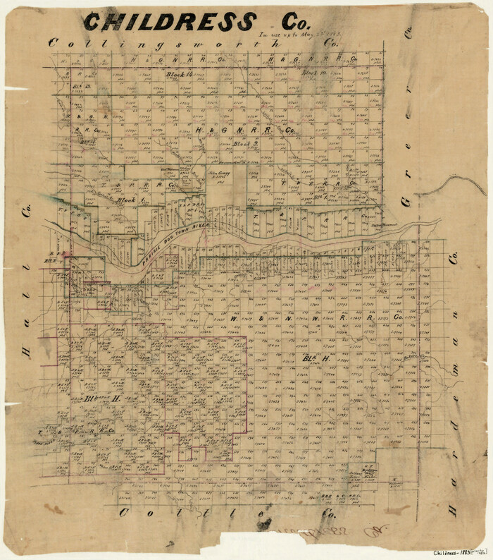
Childress County

Print $20.00
- Digital $50.00
Childress County
1883
Size 20.8 x 19.0 inches
Map/Doc 3394
[Cotton Belt, St. Louis Southwestern Railway of Texas, Alignment through Smith County]
![64379, [Cotton Belt, St. Louis Southwestern Railway of Texas, Alignment through Smith County], General Map Collection](https://historictexasmaps.com/wmedia_w700/maps/64379.tif.jpg)
![64379, [Cotton Belt, St. Louis Southwestern Railway of Texas, Alignment through Smith County], General Map Collection](https://historictexasmaps.com/wmedia_w700/maps/64379.tif.jpg)
Print $20.00
- Digital $50.00
[Cotton Belt, St. Louis Southwestern Railway of Texas, Alignment through Smith County]
1903
Size 22.6 x 30.1 inches
Map/Doc 64379
Moore County Rolled Sketch 16A


Print $20.00
- Digital $50.00
Moore County Rolled Sketch 16A
1982
Size 21.1 x 33.4 inches
Map/Doc 6834
Upton County Working Sketch 22


Print $40.00
- Digital $50.00
Upton County Working Sketch 22
1951
Size 37.5 x 48.7 inches
Map/Doc 69518
Cass County Rolled Sketch 1
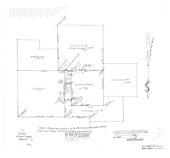

Print $20.00
- Digital $50.00
Cass County Rolled Sketch 1
1945
Size 22.1 x 23.7 inches
Map/Doc 5408
Wichita County Sketch File 18
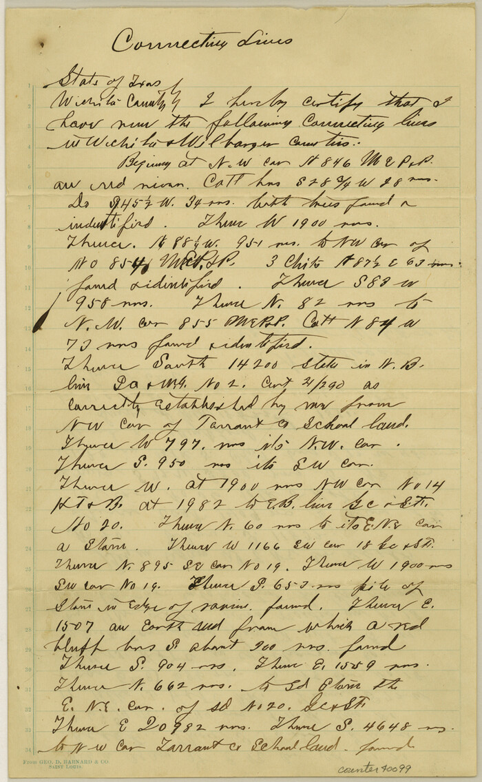

Print $6.00
- Digital $50.00
Wichita County Sketch File 18
1890
Size 14.0 x 8.6 inches
Map/Doc 40099
You may also like
Map of Newton Co.


Print $20.00
- Digital $50.00
Map of Newton Co.
1918
Size 46.4 x 39.4 inches
Map/Doc 81987
Nueces County Sketch File 46


Print $44.00
- Digital $50.00
Nueces County Sketch File 46
1907
Size 11.1 x 8.7 inches
Map/Doc 32643
Township No. 5 South Range No. 15 West, Indian Meridian, Oklahoma


Print $4.00
- Digital $50.00
Township No. 5 South Range No. 15 West, Indian Meridian, Oklahoma
1927
Size 18.2 x 23.9 inches
Map/Doc 75136
Hale County Sketch File 9
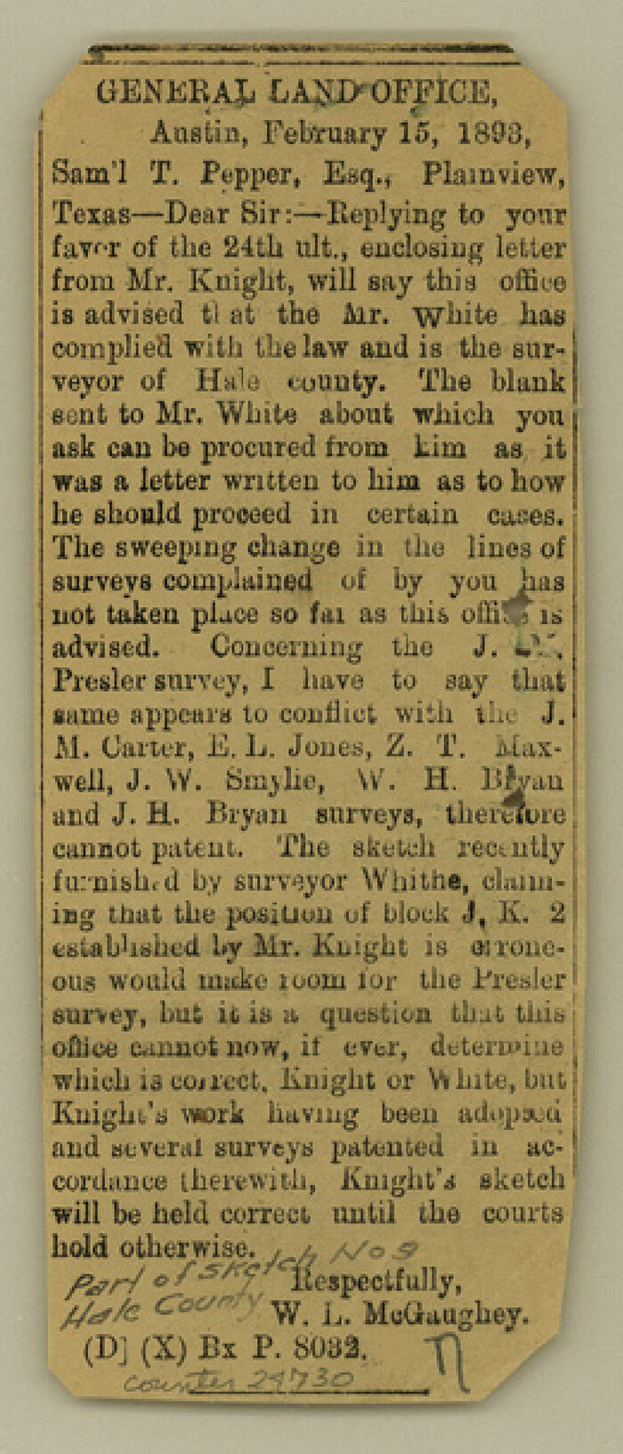

Print $14.00
- Digital $50.00
Hale County Sketch File 9
1893
Size 6.1 x 2.6 inches
Map/Doc 24730
Archer County Sketch File B-1
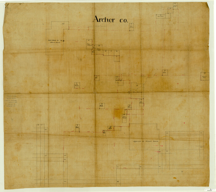

Print $40.00
- Digital $50.00
Archer County Sketch File B-1
Size 34.5 x 38.8 inches
Map/Doc 10370
Hamilton County Rolled Sketch 12
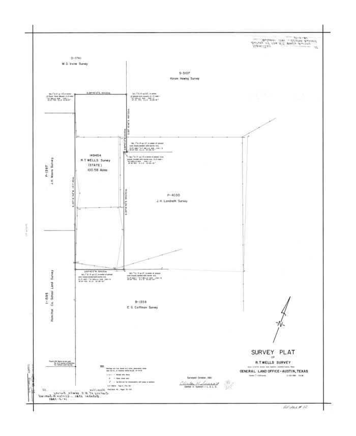

Print $20.00
- Digital $50.00
Hamilton County Rolled Sketch 12
1981
Size 35.2 x 28.7 inches
Map/Doc 6061
Pecos County Rolled Sketch 32
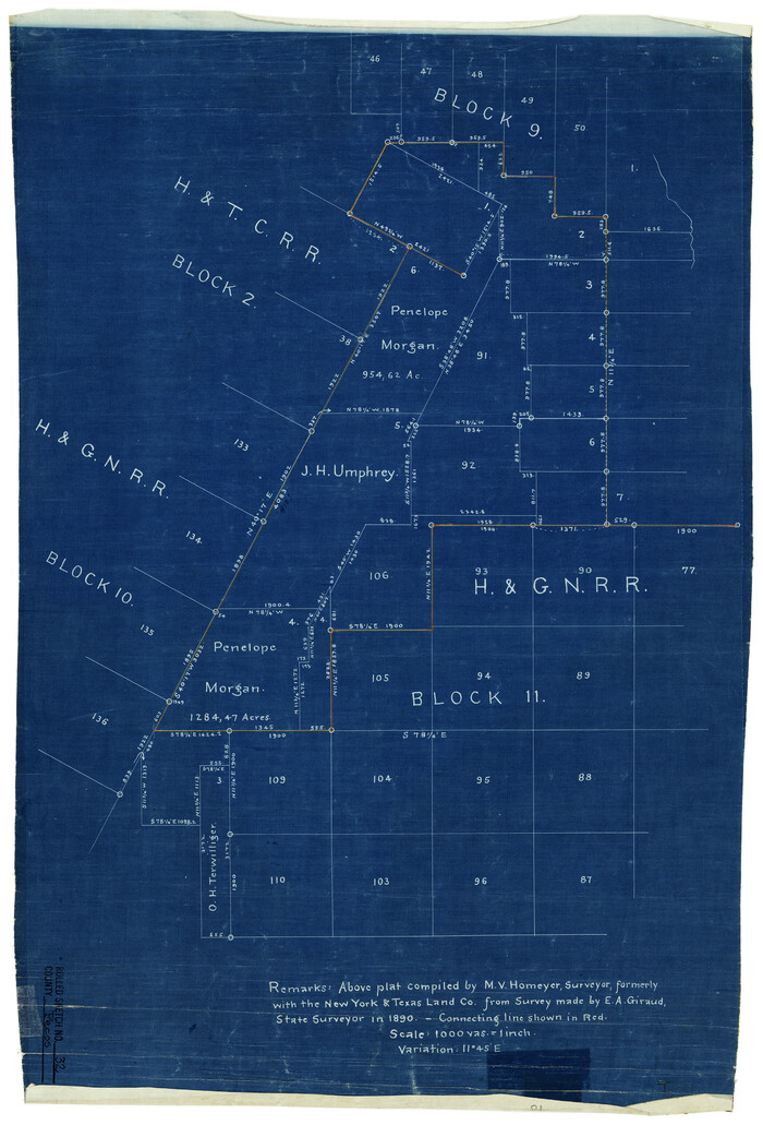

Print $20.00
- Digital $50.00
Pecos County Rolled Sketch 32
1890
Size 21.0 x 14.1 inches
Map/Doc 7214
Bosque County Sketch File 7
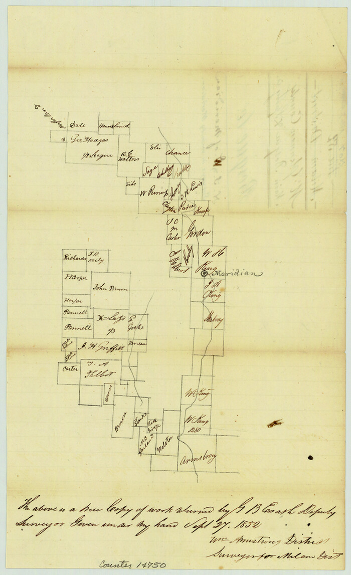

Print $4.00
- Digital $50.00
Bosque County Sketch File 7
1852
Size 12.7 x 7.7 inches
Map/Doc 14750
Travis County Sketch File 36


Print $4.00
- Digital $50.00
Travis County Sketch File 36
1912
Size 8.4 x 9.9 inches
Map/Doc 38355
Galveston County Rolled Sketch 34B


Print $20.00
- Digital $50.00
Galveston County Rolled Sketch 34B
1978
Size 28.4 x 40.0 inches
Map/Doc 5968
San Antonio & Aransas Pass RR Co., Fort Bend County, Texas
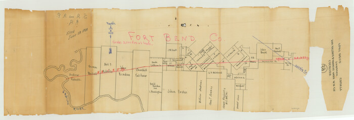

Print $20.00
- Digital $50.00
San Antonio & Aransas Pass RR Co., Fort Bend County, Texas
1898
Size 10.5 x 31.0 inches
Map/Doc 64143
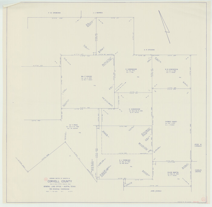
Coryell County Working Sketch 21

Print $20.00
- Digital $50.00
Coryell County Working Sketch 21
1973
Size 37.0 x 37.8 inches
Map/Doc 68228
![4055, [Map of Sterling County], General Map Collection](https://historictexasmaps.com/wmedia_w1800h1800/maps/4055.tif.jpg)