Kendall County Rolled Sketch 3
[Old sketch in east part of county]
-
Map/Doc
46424
-
Collection
General Map Collection
-
Object Dates
1858/11/12 (File Date)
1858/10/8 (Creation Date)
-
People and Organizations
Sam M. Carter (Surveyor/Engineer)
-
Counties
Kendall Blanco
-
Subjects
Surveying Rolled Sketch
-
Height x Width
10.0 x 15.3 inches
25.4 x 38.9 cm
-
Medium
paper, manuscript
Part of: General Map Collection
Stonewall County Sketch File 9

Print $10.00
- Digital $50.00
Stonewall County Sketch File 9
Size 8.1 x 7.9 inches
Map/Doc 37227
Liberty County Working Sketch 86
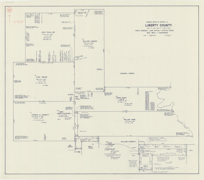

Print $20.00
- Digital $50.00
Liberty County Working Sketch 86
1986
Size 30.7 x 34.7 inches
Map/Doc 70546
Asher & Adams' Geological Map - United States and Territories
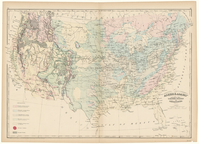

Print $20.00
- Digital $50.00
Asher & Adams' Geological Map - United States and Territories
1874
Size 17.9 x 24.9 inches
Map/Doc 95175
Jefferson County Sketch File 8a


Print $42.00
- Digital $50.00
Jefferson County Sketch File 8a
Size 8.6 x 7.8 inches
Map/Doc 28120
Flight Mission No. BRA-8M, Frame 82, Jefferson County
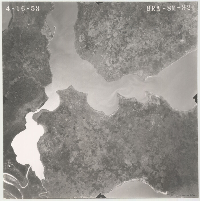

Print $20.00
- Digital $50.00
Flight Mission No. BRA-8M, Frame 82, Jefferson County
1953
Size 15.8 x 15.7 inches
Map/Doc 85602
Harris County Rolled Sketch 98
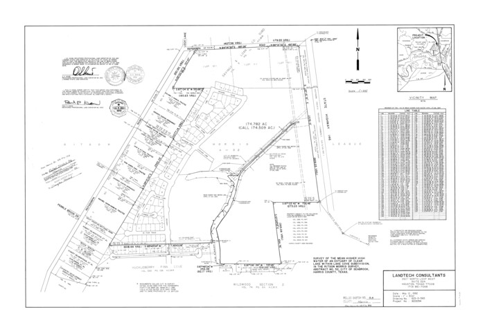

Print $20.00
- Digital $50.00
Harris County Rolled Sketch 98
1992
Size 27.1 x 39.5 inches
Map/Doc 6136
Hardin County Sketch File 56a
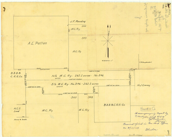

Print $40.00
- Digital $50.00
Hardin County Sketch File 56a
Size 12.7 x 15.9 inches
Map/Doc 25226
Jefferson County NRC Article 33.136 Sketch 1


Print $20.00
- Digital $50.00
Jefferson County NRC Article 33.136 Sketch 1
2002
Size 24.0 x 36.1 inches
Map/Doc 61601
La Salle County
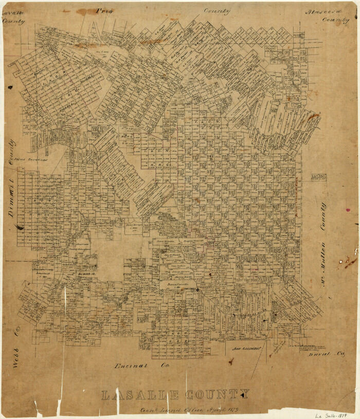

Print $20.00
- Digital $50.00
La Salle County
1879
Size 27.4 x 23.6 inches
Map/Doc 3800
Edwards County Working Sketch 136


Print $20.00
- Digital $50.00
Edwards County Working Sketch 136
1997
Size 18.4 x 25.4 inches
Map/Doc 69012
Flight Mission No. DAG-23K, Frame 152, Matagorda County


Print $20.00
- Digital $50.00
Flight Mission No. DAG-23K, Frame 152, Matagorda County
1953
Size 15.9 x 15.9 inches
Map/Doc 86500
Jasper County Rolled Sketch 8
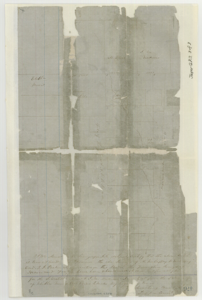

Print $20.00
- Digital $50.00
Jasper County Rolled Sketch 8
Size 17.8 x 12.0 inches
Map/Doc 6358
You may also like
Calhoun County Rolled Sketch 30
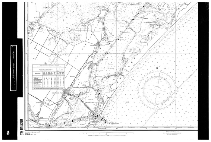

Print $20.00
- Digital $50.00
Calhoun County Rolled Sketch 30
1974
Size 18.6 x 27.6 inches
Map/Doc 5495
Travis County Working Sketch 38
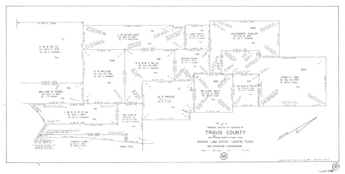

Print $20.00
- Digital $50.00
Travis County Working Sketch 38
1974
Size 17.5 x 34.8 inches
Map/Doc 69422
General Highway Map, Dallas County, Rockwall County, Texas


Print $20.00
General Highway Map, Dallas County, Rockwall County, Texas
1961
Size 18.4 x 24.5 inches
Map/Doc 79430
Galveston Bay
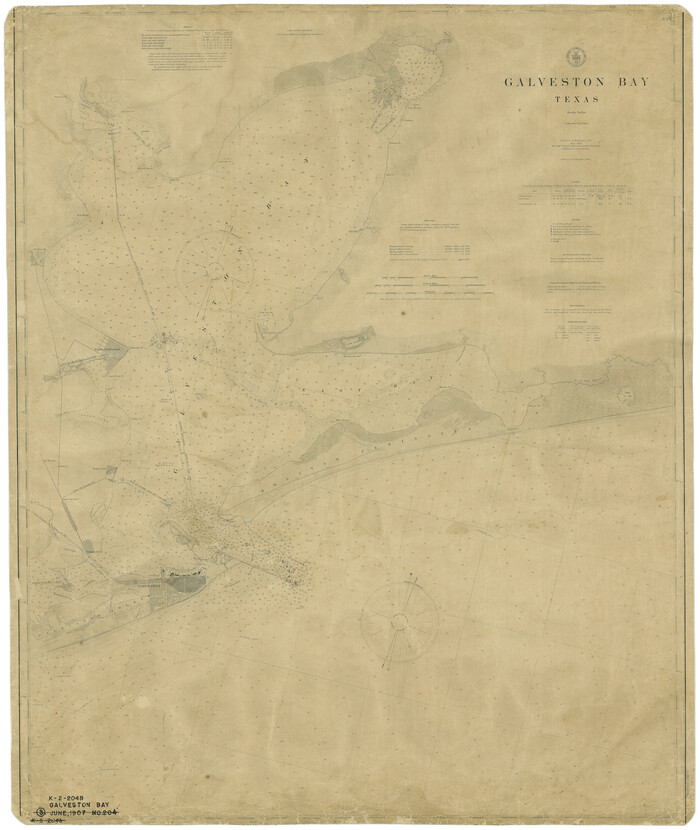

Print $20.00
- Digital $50.00
Galveston Bay
1907
Size 40.6 x 34.4 inches
Map/Doc 69871
Railroad Track Map, H&TCRRCo., Falls County, Texas


Print $4.00
- Digital $50.00
Railroad Track Map, H&TCRRCo., Falls County, Texas
1918
Size 11.7 x 18.5 inches
Map/Doc 62861
Map of the Western Part of Bexar District


Print $40.00
- Digital $50.00
Map of the Western Part of Bexar District
1849
Size 64.0 x 54.3 inches
Map/Doc 16944
Galveston County Sketch File 42


Print $20.00
- Digital $50.00
Galveston County Sketch File 42
1899
Size 23.9 x 23.7 inches
Map/Doc 11538
Flight Mission No. DCL-7C, Frame 135, Kenedy County
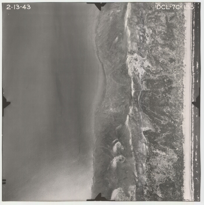

Print $20.00
- Digital $50.00
Flight Mission No. DCL-7C, Frame 135, Kenedy County
1943
Size 15.5 x 15.3 inches
Map/Doc 86092
Parker County Working Sketch 28
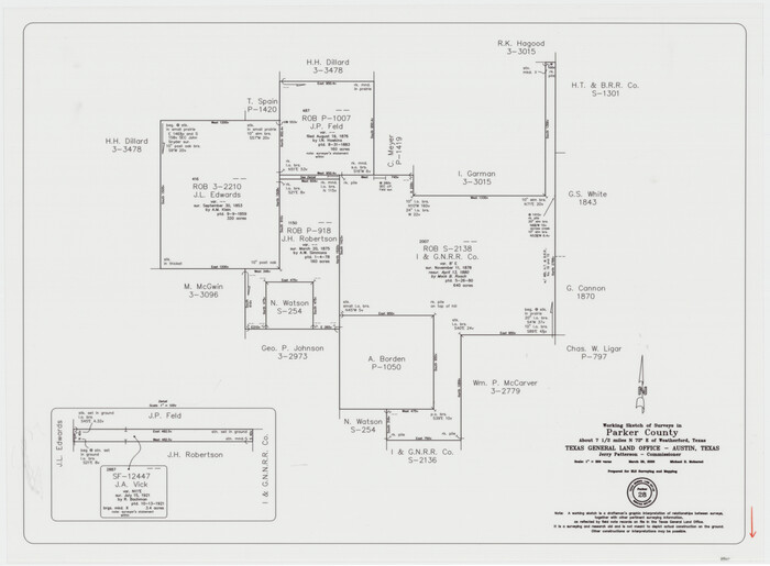

Print $20.00
- Digital $50.00
Parker County Working Sketch 28
2009
Map/Doc 89011
[Block O1, Godair]
![90565, [Block O1, Godair], Twichell Survey Records](https://historictexasmaps.com/wmedia_w700/maps/90565-1.tif.jpg)
![90565, [Block O1, Godair], Twichell Survey Records](https://historictexasmaps.com/wmedia_w700/maps/90565-1.tif.jpg)
Print $20.00
- Digital $50.00
[Block O1, Godair]
Size 22.6 x 17.7 inches
Map/Doc 90565
Railroad Track Map, H&TCRRCo., Falls County, Texas
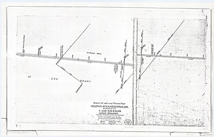

Print $4.00
- Digital $50.00
Railroad Track Map, H&TCRRCo., Falls County, Texas
1918
Size 11.8 x 18.4 inches
Map/Doc 62838
[Morris County School Land Leagues and vicinity]
![90336, [Morris County School Land Leagues and vicinity], Twichell Survey Records](https://historictexasmaps.com/wmedia_w700/maps/90336-1.tif.jpg)
![90336, [Morris County School Land Leagues and vicinity], Twichell Survey Records](https://historictexasmaps.com/wmedia_w700/maps/90336-1.tif.jpg)
Print $20.00
- Digital $50.00
[Morris County School Land Leagues and vicinity]
Size 14.3 x 12.7 inches
Map/Doc 90336
