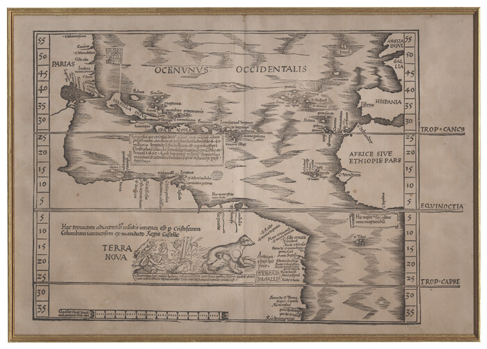
[Old Coastal Chart showing Brazo Chico, Brazo de Santiago and Rio Bravo del Norte passes with depth readings]
A-7-35
-
Map/Doc
4661
-
Collection
General Map Collection
-
Object Dates
10/1837 (Creation Date)
-
People and Organizations
L.J. Hebert (Draftsman)
-
Counties
Cameron
-
Subjects
Nautical Charts
-
Height x Width
25.7 x 39.3 inches
65.3 x 99.8 cm
Part of: General Map Collection
Township 4 South Ranges 12 and 13 West, South Western District, Louisiana
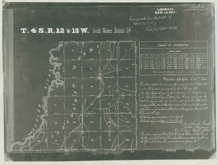

Print $20.00
- Digital $50.00
Township 4 South Ranges 12 and 13 West, South Western District, Louisiana
1879
Size 18.3 x 24.1 inches
Map/Doc 65890
St. Louis, Brownsville & Mexico


Print $40.00
- Digital $50.00
St. Louis, Brownsville & Mexico
1906
Size 21.2 x 130.5 inches
Map/Doc 89280
Nueces County Sketch File 49
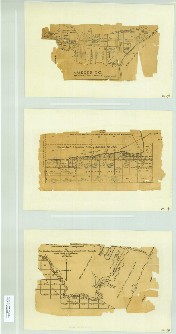

Print $20.00
- Digital $50.00
Nueces County Sketch File 49
1956
Size 32.4 x 17.1 inches
Map/Doc 42193
Terry County Sketch File 7
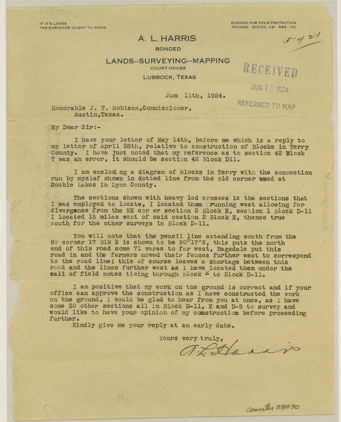

Print $4.00
- Digital $50.00
Terry County Sketch File 7
1924
Size 11.2 x 9.1 inches
Map/Doc 38030
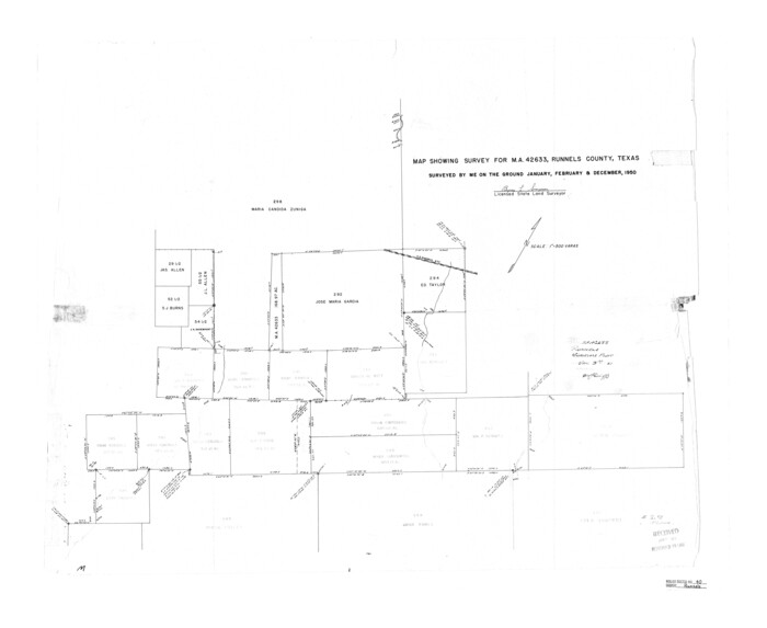
Runnels County Rolled Sketch 40

Print $20.00
- Digital $50.00
Runnels County Rolled Sketch 40
Size 33.5 x 40.9 inches
Map/Doc 7527
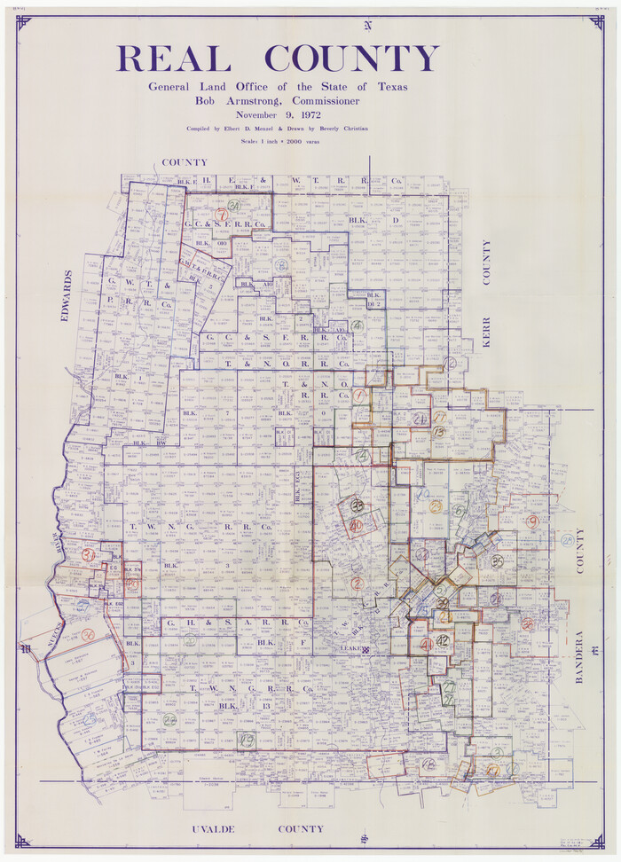
Real County Working Sketch Graphic Index, Sheet 1 (Sketches 1 to 42)

Print $20.00
- Digital $50.00
Real County Working Sketch Graphic Index, Sheet 1 (Sketches 1 to 42)
1972
Size 42.9 x 31.0 inches
Map/Doc 76678
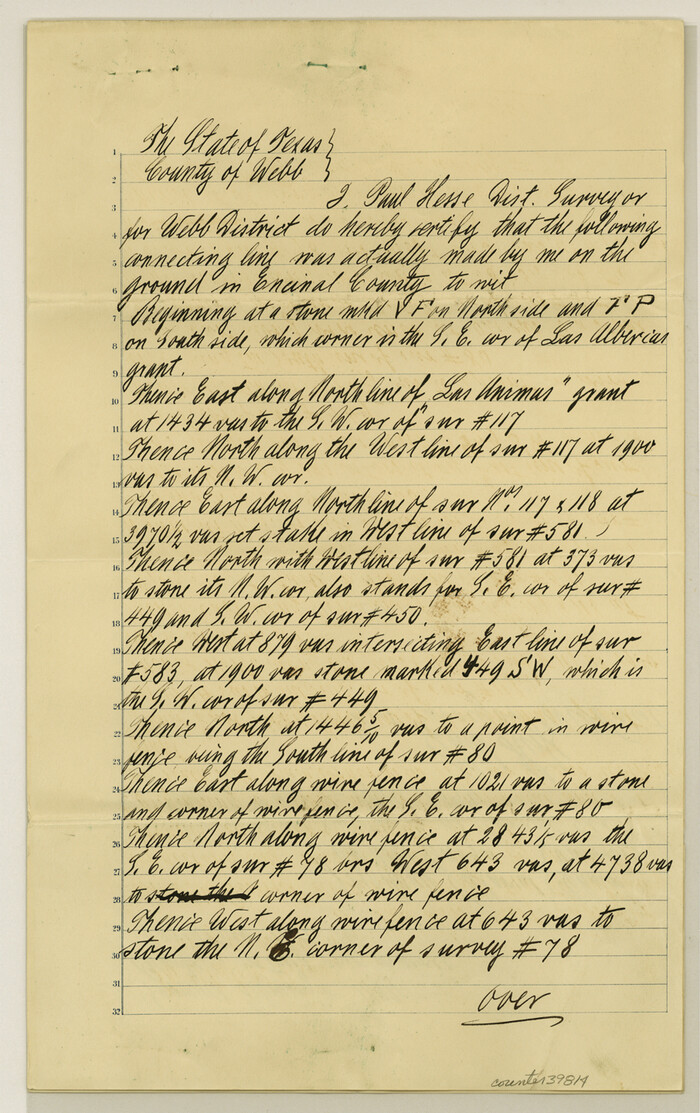
Webb County Sketch File 14-1

Print $6.00
- Digital $50.00
Webb County Sketch File 14-1
1892
Size 14.4 x 9.1 inches
Map/Doc 39814
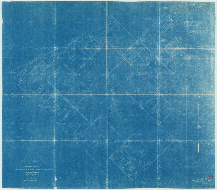
San Jacinto County Working Sketch 15

Print $20.00
- Digital $50.00
San Jacinto County Working Sketch 15
1935
Size 32.0 x 36.5 inches
Map/Doc 63728
Liberty County Working Sketch 34


Print $20.00
- Digital $50.00
Liberty County Working Sketch 34
1946
Size 26.7 x 21.2 inches
Map/Doc 70493
Bosque County Working Sketch 4
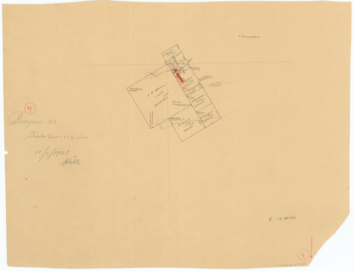

Print $20.00
- Digital $50.00
Bosque County Working Sketch 4
1901
Size 14.2 x 18.6 inches
Map/Doc 67437
Throckmorton County Working Sketch Graphic Index
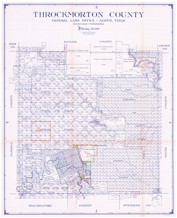

Print $20.00
- Digital $50.00
Throckmorton County Working Sketch Graphic Index
1943
Size 44.6 x 36.3 inches
Map/Doc 76713
You may also like
Dawson County, Texas
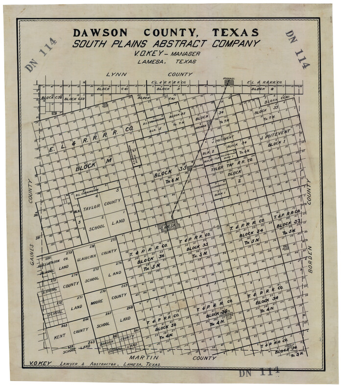

Print $20.00
- Digital $50.00
Dawson County, Texas
Size 16.0 x 18.1 inches
Map/Doc 92620
[Gulf, Colorado & Santa Fe Railway Company]
![64411, [Gulf, Colorado & Santa Fe Railway Company], General Map Collection](https://historictexasmaps.com/wmedia_w700/maps/64411.tif.jpg)
![64411, [Gulf, Colorado & Santa Fe Railway Company], General Map Collection](https://historictexasmaps.com/wmedia_w700/maps/64411.tif.jpg)
Print $20.00
- Digital $50.00
[Gulf, Colorado & Santa Fe Railway Company]
1893
Size 20.1 x 41.5 inches
Map/Doc 64411
Milam County Rolled Sketch 2
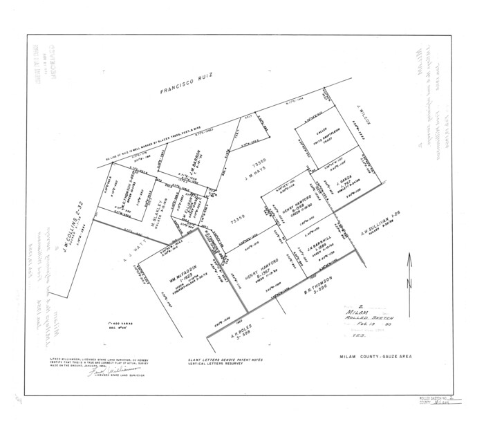

Print $20.00
- Digital $50.00
Milam County Rolled Sketch 2
1954
Size 21.9 x 24.8 inches
Map/Doc 6774
J. B. McCauley Irrigated Farm SW Quarter Section 20, Block E
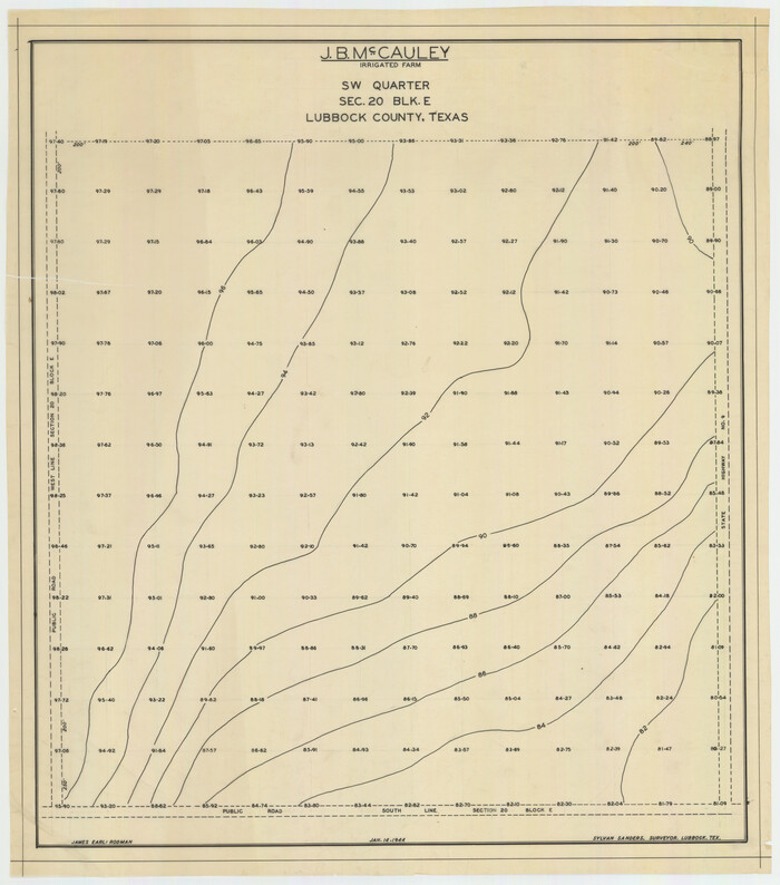

Print $20.00
- Digital $50.00
J. B. McCauley Irrigated Farm SW Quarter Section 20, Block E
1944
Size 20.7 x 23.5 inches
Map/Doc 92335
[Strip map showing T. & P. Connecting line from northwest corner Sec. 3, Blk. 33 T5N to northwest corner Sec. 6, Blk. 34 T5N]
![93174, [Strip map showing T. & P. Connecting line from northwest corner Sec. 3, Blk. 33 T5N to northwest corner Sec. 6, Blk. 34 T5N], Twichell Survey Records](https://historictexasmaps.com/wmedia_w700/maps/93174-1.tif.jpg)
![93174, [Strip map showing T. & P. Connecting line from northwest corner Sec. 3, Blk. 33 T5N to northwest corner Sec. 6, Blk. 34 T5N], Twichell Survey Records](https://historictexasmaps.com/wmedia_w700/maps/93174-1.tif.jpg)
Print $40.00
- Digital $50.00
[Strip map showing T. & P. Connecting line from northwest corner Sec. 3, Blk. 33 T5N to northwest corner Sec. 6, Blk. 34 T5N]
1907
Size 7.3 x 77.5 inches
Map/Doc 93174
Maps of Gulf Intracoastal Waterway, Texas - Sabine River to the Rio Grande and connecting waterways including ship channels
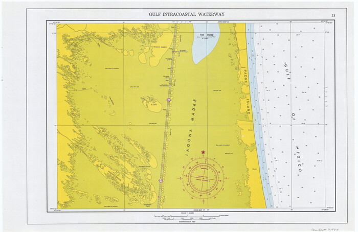

Print $20.00
- Digital $50.00
Maps of Gulf Intracoastal Waterway, Texas - Sabine River to the Rio Grande and connecting waterways including ship channels
1966
Size 14.5 x 22.3 inches
Map/Doc 61944
Angelina County Sketch File 15c
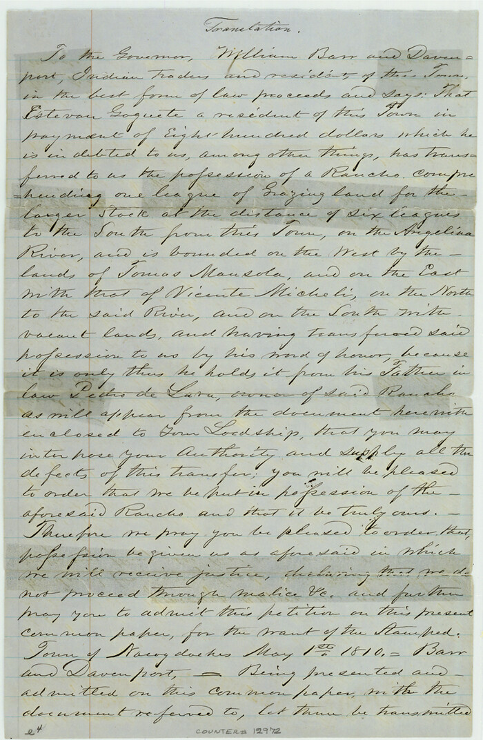

Print $16.00
- Digital $50.00
Angelina County Sketch File 15c
1838
Size 12.2 x 8.0 inches
Map/Doc 12972
Galveston County NRC Article 33.136 Sketch 99
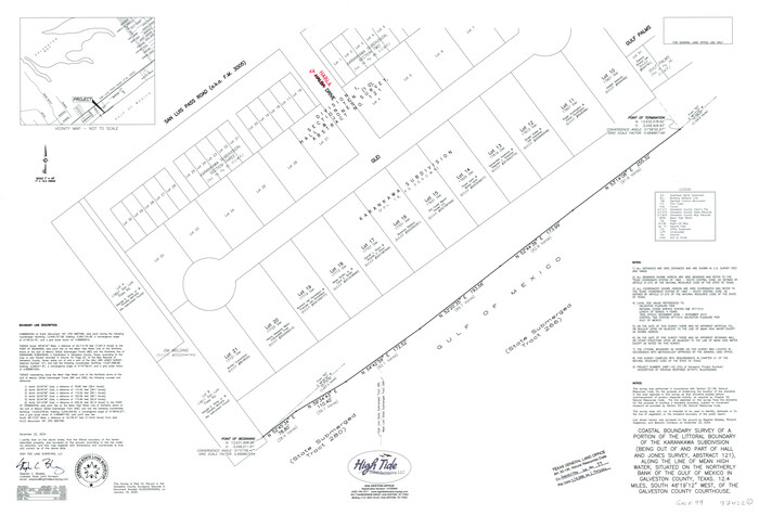

Print $26.00
Galveston County NRC Article 33.136 Sketch 99
2024
Map/Doc 97422
Plat of Land Purchased by C. W. Post in Hockley County, Texas
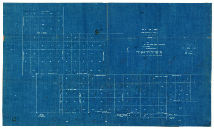

Print $20.00
- Digital $50.00
Plat of Land Purchased by C. W. Post in Hockley County, Texas
1913
Size 24.1 x 14.5 inches
Map/Doc 91116
Seminole, Gaines County, Texas


Print $20.00
- Digital $50.00
Seminole, Gaines County, Texas
Size 25.6 x 39.0 inches
Map/Doc 92692
Angelina River, Mud Creek, Sheet 3
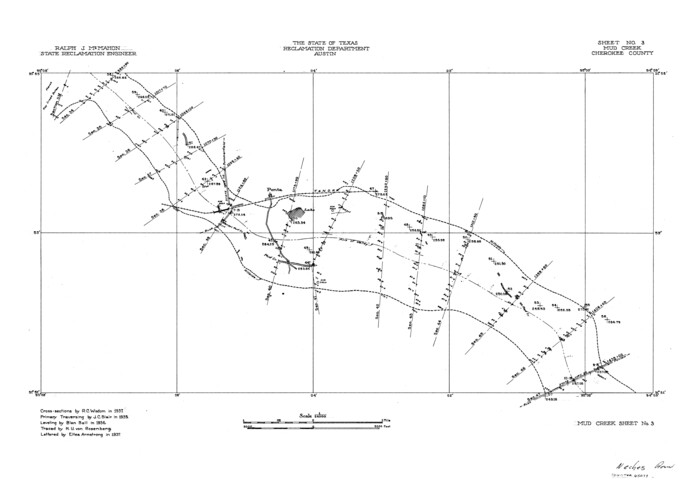

Print $4.00
- Digital $50.00
Angelina River, Mud Creek, Sheet 3
1937
Size 18.7 x 26.6 inches
Map/Doc 65077
![4661, [Old Coastal Chart showing Brazo Chico, Brazo de Santiago and Rio Bravo del Norte passes with depth readings], General Map Collection](https://historictexasmaps.com/wmedia_w1800h1800/maps/4661-1.tif.jpg)

