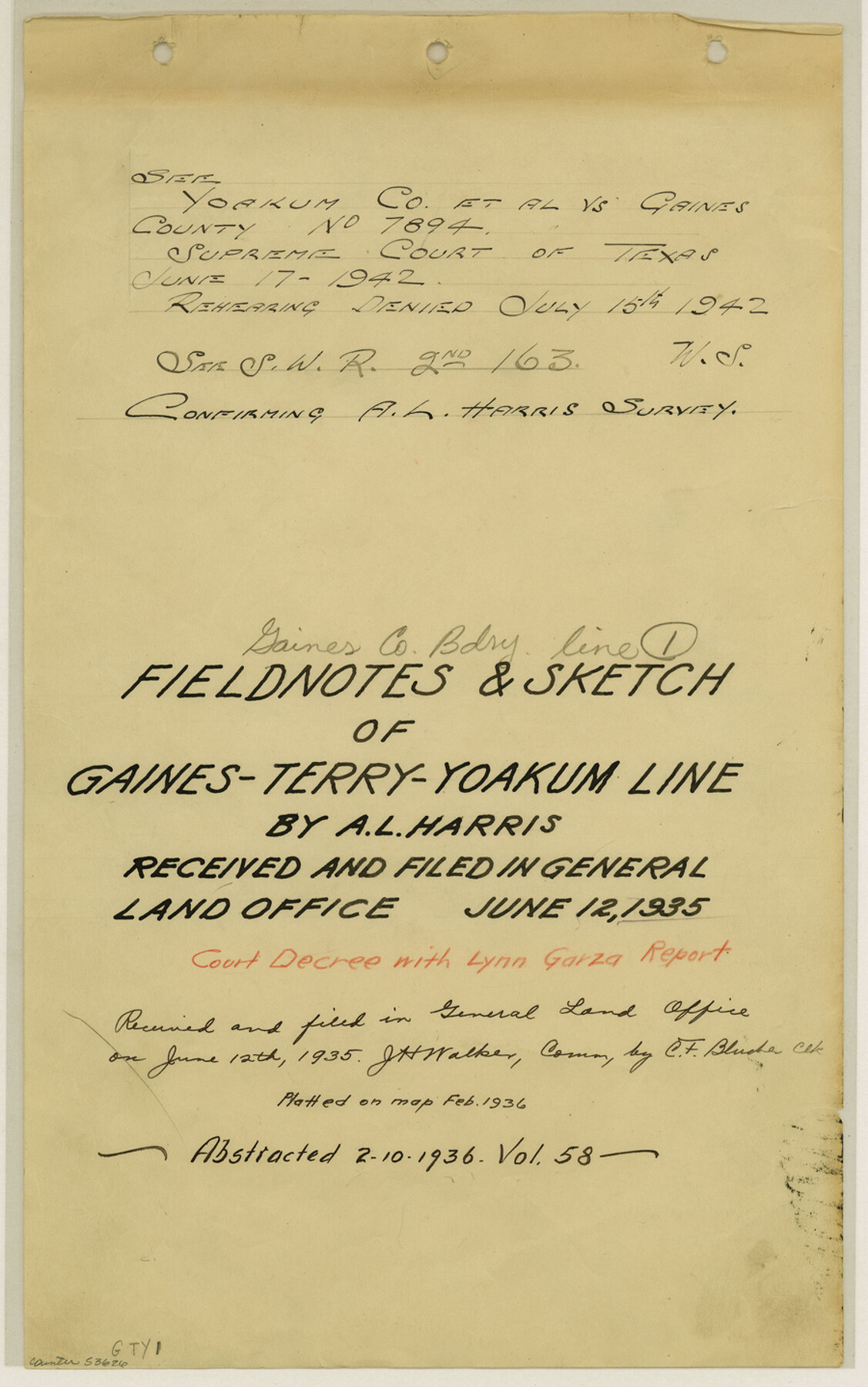
Gaines County Boundary File 1
-
Map/Doc
53626
-
Collection
General Map Collection
-
Counties
Gaines
-
Subjects
County Boundaries
-
Height x Width
14.4 x 9.0 inches
36.6 x 22.9 cm
Part of: General Map Collection
Brooks County Working Sketch 10

Print $20.00
- Digital $50.00
Brooks County Working Sketch 10
1939
Size 32.1 x 32.8 inches
Map/Doc 67794
Dallas County Sketch File 8

Print $5.00
- Digital $50.00
Dallas County Sketch File 8
1858
Size 16.3 x 9.1 inches
Map/Doc 20410
Nacogdoches County Sketch File 2

Print $4.00
- Digital $50.00
Nacogdoches County Sketch File 2
1852
Size 8.0 x 6.4 inches
Map/Doc 32235
Tarrant County Boundary File 4 and 4a

Print $14.00
- Digital $50.00
Tarrant County Boundary File 4 and 4a
Size 11.5 x 8.9 inches
Map/Doc 59154
Moore County Sketch File 2

Print $36.00
- Digital $50.00
Moore County Sketch File 2
Size 14.2 x 8.6 inches
Map/Doc 31929
Comal County Sketch File 5

Print $4.00
- Digital $50.00
Comal County Sketch File 5
1848
Size 12.9 x 8.4 inches
Map/Doc 19006
Newton County Working Sketch 41

Print $20.00
- Digital $50.00
Newton County Working Sketch 41
1979
Size 17.8 x 26.2 inches
Map/Doc 71287
Tom Green County Working Sketch 9

Print $20.00
- Digital $50.00
Tom Green County Working Sketch 9
1951
Size 31.3 x 42.2 inches
Map/Doc 69378
Flight Mission No. CUG-3P, Frame 162, Kleberg County

Print $20.00
- Digital $50.00
Flight Mission No. CUG-3P, Frame 162, Kleberg County
1956
Size 18.5 x 22.3 inches
Map/Doc 86282
Hays County Sketch File 17

Print $8.00
- Digital $50.00
Hays County Sketch File 17
1877
Size 12.9 x 8.4 inches
Map/Doc 26231
Hardin County Rolled Sketch 5

Print $20.00
- Digital $50.00
Hardin County Rolled Sketch 5
1937
Size 21.5 x 18.8 inches
Map/Doc 6078
Flight Mission No. CLL-1N, Frame 159, Willacy County

Print $20.00
- Digital $50.00
Flight Mission No. CLL-1N, Frame 159, Willacy County
1954
Size 18.4 x 22.2 inches
Map/Doc 87050
You may also like
The Republic County of Fayette. May 3, 1838

Print $20.00
The Republic County of Fayette. May 3, 1838
2020
Size 14.7 x 21.7 inches
Map/Doc 96132
McMullen County Rolled Sketch 19

Print $20.00
- Digital $50.00
McMullen County Rolled Sketch 19
1963
Size 26.6 x 39.6 inches
Map/Doc 6735
Flight Mission No. CGI-3N, Frame 128, Cameron County

Print $20.00
- Digital $50.00
Flight Mission No. CGI-3N, Frame 128, Cameron County
1954
Size 18.5 x 22.2 inches
Map/Doc 84601
Montgomery County Sketch File 36a

Print $8.00
- Digital $50.00
Montgomery County Sketch File 36a
1953
Size 14.4 x 8.8 inches
Map/Doc 31912
Kaufman County Sketch File 10

Print $4.00
- Digital $50.00
Kaufman County Sketch File 10
1873
Size 10.2 x 8.2 inches
Map/Doc 28643
Crockett County Rolled Sketch 68

Print $20.00
- Digital $50.00
Crockett County Rolled Sketch 68
1947
Size 25.8 x 38.7 inches
Map/Doc 5611
Flight Mission No. DAG-28K, Frame 25, Matagorda County

Print $20.00
- Digital $50.00
Flight Mission No. DAG-28K, Frame 25, Matagorda County
1953
Size 18.5 x 22.3 inches
Map/Doc 86593
Van Zandt County Sketch File 16

Print $4.00
- Digital $50.00
Van Zandt County Sketch File 16
1858
Size 6.8 x 8.0 inches
Map/Doc 39410
Harrison County Working Sketch 30

Print $20.00
- Digital $50.00
Harrison County Working Sketch 30
2001
Size 29.5 x 31.9 inches
Map/Doc 66050
Jules A. Appler's Map of San Antonio, Texas and Suburbs

Print $20.00
Jules A. Appler's Map of San Antonio, Texas and Suburbs
1900
Size 43.0 x 29.7 inches
Map/Doc 79303
Neches River, Blackburn Bridge Sheet

Print $4.00
- Digital $50.00
Neches River, Blackburn Bridge Sheet
1938
Size 27.6 x 20.5 inches
Map/Doc 65083
Flight Mission No. CGI-3N, Frame 187, Cameron County

Print $20.00
- Digital $50.00
Flight Mission No. CGI-3N, Frame 187, Cameron County
1954
Size 18.5 x 22.2 inches
Map/Doc 84651