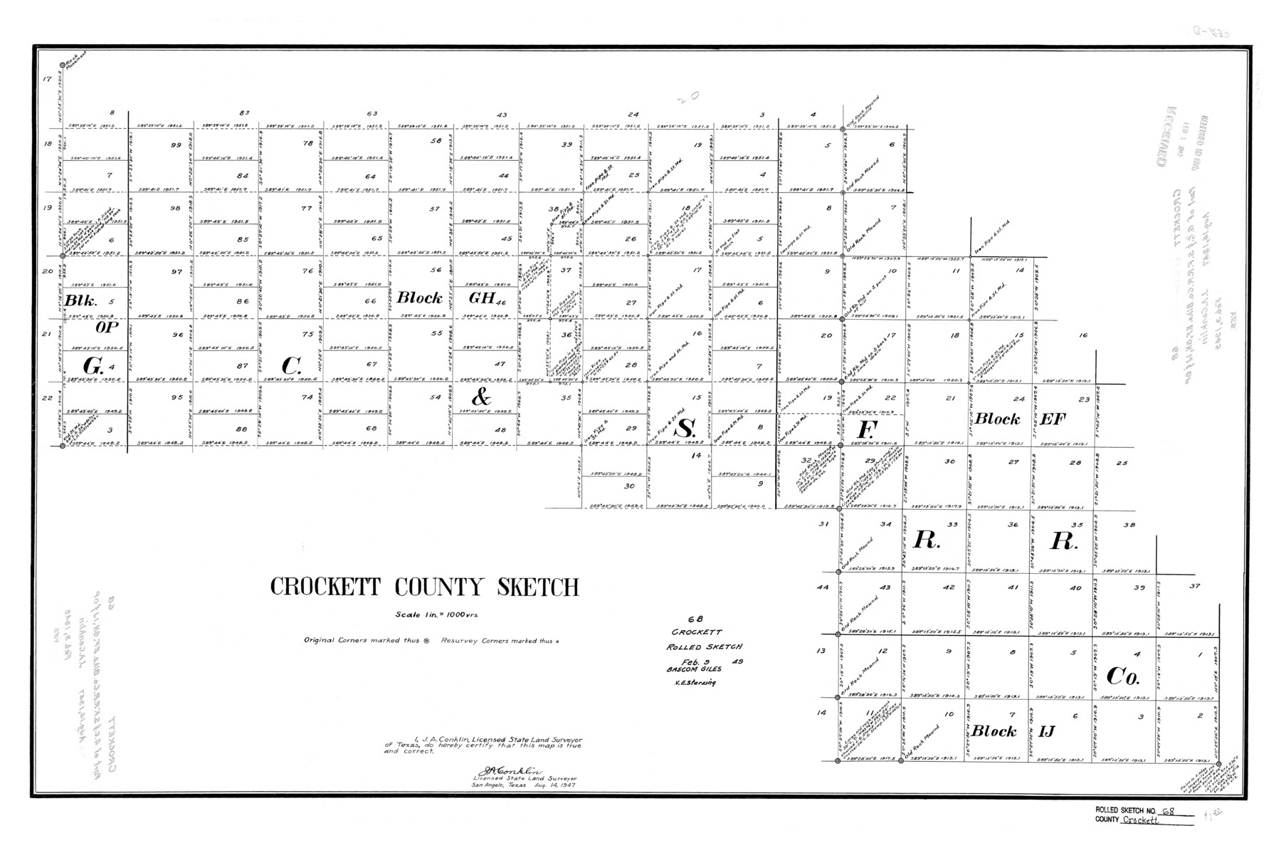
Crockett County Rolled Sketch 68
Crockett County Sketch
-
Map/Doc
5611
-
Collection
General Map Collection
-
Object Dates
8/14/1947 (Creation Date)
2/9/1949 (File Date)
-
People and Organizations
J.A. Conklin (Surveyor/Engineer)
-
Counties
Crockett
-
Subjects
Surveying Rolled Sketch
-
Height x Width
25.8 x 38.7 inches
65.5 x 98.3 cm
-
Scale
1" = 1000 varas
Part of: General Map Collection
Topographical Map of the Rio Grande, Sheet No. 16

Print $20.00
- Digital $50.00
Topographical Map of the Rio Grande, Sheet No. 16
1912
Map/Doc 89540
Flight Mission No. CRK-5P, Frame 126, Refugio County

Print $20.00
- Digital $50.00
Flight Mission No. CRK-5P, Frame 126, Refugio County
1956
Size 18.7 x 22.4 inches
Map/Doc 86929
Brewster County Sketch File N-30

Print $6.00
- Digital $50.00
Brewster County Sketch File N-30
1969
Size 11.2 x 8.9 inches
Map/Doc 15708
Live Oak County Boundary File 60c

Print $4.00
- Digital $50.00
Live Oak County Boundary File 60c
Size 14.0 x 8.7 inches
Map/Doc 56421
Galveston County NRC Article 33.136 Sketch 72

Print $78.00
- Digital $50.00
Galveston County NRC Article 33.136 Sketch 72
2013
Size 24.0 x 36.0 inches
Map/Doc 95081
Gaines County Rolled Sketch G3

Print $20.00
- Digital $50.00
Gaines County Rolled Sketch G3
1902
Size 22.7 x 31.4 inches
Map/Doc 5946
Kent County Boundary File 3

Print $8.00
- Digital $50.00
Kent County Boundary File 3
Size 11.2 x 8.6 inches
Map/Doc 55824
Ector County Sketch File 13

Print $16.00
- Digital $50.00
Ector County Sketch File 13
1988
Size 11.5 x 9.0 inches
Map/Doc 21651
Upton County Sketch File 1

Print $40.00
- Digital $50.00
Upton County Sketch File 1
1881
Size 24.1 x 65.4 inches
Map/Doc 10412
Dawson County Working Sketch 6

Print $20.00
- Digital $50.00
Dawson County Working Sketch 6
1939
Size 43.9 x 42.7 inches
Map/Doc 68550
Map of Freestone County

Print $20.00
- Digital $50.00
Map of Freestone County
1874
Size 21.8 x 24.5 inches
Map/Doc 3563
Northeast Part of Webb County

Print $40.00
- Digital $50.00
Northeast Part of Webb County
1986
Size 37.7 x 50.0 inches
Map/Doc 95668
You may also like
Zapata County Sketch File 3

Print $6.00
- Digital $50.00
Zapata County Sketch File 3
1883
Size 16.3 x 10.7 inches
Map/Doc 40904
Edwards County Working Sketch 90

Print $20.00
- Digital $50.00
Edwards County Working Sketch 90
1966
Size 33.6 x 27.2 inches
Map/Doc 68966

Map of the State of Texas

Print $40.00
- Digital $50.00
Map of the State of Texas
1879
Size 102.7 x 57.6 inches
Map/Doc 93383
Flight Mission No. DIX-10P, Frame 148, Aransas County

Print $20.00
- Digital $50.00
Flight Mission No. DIX-10P, Frame 148, Aransas County
1956
Size 18.6 x 22.3 inches
Map/Doc 83950
Map of Jefferson County

Print $20.00
- Digital $50.00
Map of Jefferson County
1896
Size 26.7 x 23.2 inches
Map/Doc 66883
Clay County, 1896

Print $40.00
- Digital $50.00
Clay County, 1896
1896
Size 34.4 x 55.4 inches
Map/Doc 89675
Bowie County Working Sketch 29

Print $20.00
- Digital $50.00
Bowie County Working Sketch 29
1991
Size 36.9 x 47.7 inches
Map/Doc 67433
Pecos County Sketch File 30

Print $20.00
- Digital $50.00
Pecos County Sketch File 30
Size 28.9 x 22.0 inches
Map/Doc 12172
Edwards County

Print $20.00
- Digital $50.00
Edwards County
1883
Size 28.2 x 17.9 inches
Map/Doc 3505
Maps of Gulf Intracoastal Waterway, Texas - Sabine River to the Rio Grande and connecting waterways including ship channels

Print $20.00
- Digital $50.00
Maps of Gulf Intracoastal Waterway, Texas - Sabine River to the Rio Grande and connecting waterways including ship channels
1966
Size 14.7 x 21.0 inches
Map/Doc 61992
Hansford County Sketch File 6

Print $8.00
- Digital $50.00
Hansford County Sketch File 6
1926
Size 13.6 x 9.0 inches
Map/Doc 24954