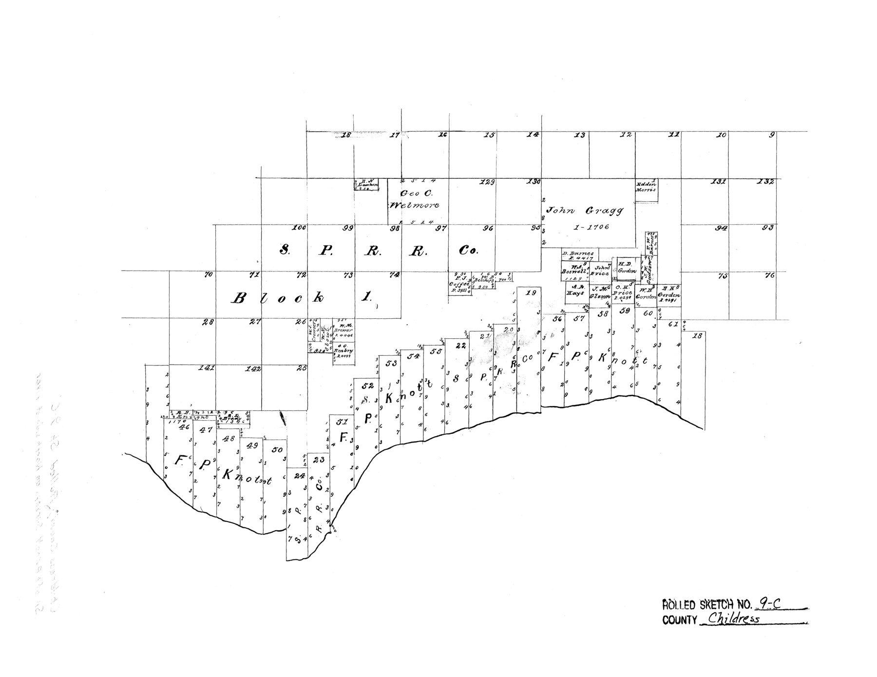
Childress County Rolled Sketch 9C
[Sketch of F.P. Knott and S. P. R.R. Co. surveys north of the river]
-
Map/Doc
5449
-
Collection
General Map Collection
-
Counties
Childress
-
Subjects
Surveying Rolled Sketch
-
Height x Width
13.8 x 17.9 inches
35.1 x 45.5 cm
Part of: General Map Collection
Llano County Sketch File 5

Print $4.00
- Digital $50.00
Llano County Sketch File 5
Size 12.7 x 8.2 inches
Map/Doc 30356
Kerr County Working Sketch 31

Print $20.00
- Digital $50.00
Kerr County Working Sketch 31
1973
Size 43.6 x 29.0 inches
Map/Doc 70062
Hunt County Boundary File 9

Print $64.00
- Digital $50.00
Hunt County Boundary File 9
Size 8.9 x 8.9 inches
Map/Doc 55241
Map of Texas coastal area showing submerged area to which counties along the Gulf of Mexico are entitled

Print $20.00
- Digital $50.00
Map of Texas coastal area showing submerged area to which counties along the Gulf of Mexico are entitled
1939
Size 28.3 x 44.2 inches
Map/Doc 3105
Bandera County Working Sketch 48

Print $20.00
- Digital $50.00
Bandera County Working Sketch 48
1981
Size 21.0 x 21.6 inches
Map/Doc 67644
[Surveys in Power and Hewetson's Colony along the Aransas River, Middle Creek, Papalose Creek, and Blanco Creek]
![81, [Surveys in Power and Hewetson's Colony along the Aransas River, Middle Creek, Papalose Creek, and Blanco Creek], General Map Collection](https://historictexasmaps.com/wmedia_w700/maps/81.tif.jpg)
Print $20.00
- Digital $50.00
[Surveys in Power and Hewetson's Colony along the Aransas River, Middle Creek, Papalose Creek, and Blanco Creek]
1830
Size 21.6 x 21.2 inches
Map/Doc 81
Jasper County Sketch File 20

Print $4.00
- Digital $50.00
Jasper County Sketch File 20
Size 8.7 x 12.2 inches
Map/Doc 27818
PSL Field Notes for Block C24 in Loving and Winkler Counties, and Blocks C25, C26, and C27 in Loving County

PSL Field Notes for Block C24 in Loving and Winkler Counties, and Blocks C25, C26, and C27 in Loving County
Map/Doc 81680
Tarrant County

Print $20.00
- Digital $50.00
Tarrant County
1885
Size 36.6 x 36.4 inches
Map/Doc 63056
Kinney County Rolled Sketch 18

Print $20.00
- Digital $50.00
Kinney County Rolled Sketch 18
1975
Size 22.4 x 28.6 inches
Map/Doc 6545
Hale County Sketch File 21

Print $20.00
- Digital $50.00
Hale County Sketch File 21
Size 7.0 x 26.6 inches
Map/Doc 11597

You may also like
Colorado County Sketch File 28

Print $17.00
- Digital $50.00
Colorado County Sketch File 28
1935
Size 9.1 x 7.7 inches
Map/Doc 18966
[Texas & Pacific Railway through Callahan County]
![64237, [Texas & Pacific Railway through Callahan County], General Map Collection](https://historictexasmaps.com/wmedia_w700/maps/64237.tif.jpg)
Print $20.00
- Digital $50.00
[Texas & Pacific Railway through Callahan County]
1918
Size 21.8 x 9.2 inches
Map/Doc 64237
Upton County Rolled Sketch 25

Print $20.00
- Digital $50.00
Upton County Rolled Sketch 25
1941
Size 33.2 x 34.5 inches
Map/Doc 10044
Supreme Court of the United States, October Term, 1923, No. 15, Original - The State of Oklahoma, Complainant vs. The State of Texas, Defendant, The United States, Intervener; Report of the Boundary Commissioners

Print $20.00
- Digital $50.00
Supreme Court of the United States, October Term, 1923, No. 15, Original - The State of Oklahoma, Complainant vs. The State of Texas, Defendant, The United States, Intervener; Report of the Boundary Commissioners
1923
Size 33.9 x 36.8 inches
Map/Doc 75134
Milam County Boundary File 65

Print $10.00
- Digital $50.00
Milam County Boundary File 65
Size 8.8 x 7.8 inches
Map/Doc 57251
Flight Mission No. CUG-3P, Frame 162, Kleberg County

Print $20.00
- Digital $50.00
Flight Mission No. CUG-3P, Frame 162, Kleberg County
1956
Size 18.5 x 22.3 inches
Map/Doc 86282
Maps of Gulf Intracoastal Waterway, Texas - Sabine River to the Rio Grande and connecting waterways including ship channels

Print $20.00
- Digital $50.00
Maps of Gulf Intracoastal Waterway, Texas - Sabine River to the Rio Grande and connecting waterways including ship channels
1966
Size 14.5 x 20.8 inches
Map/Doc 61968
King County Working Sketch 18

Print $20.00
- Digital $50.00
King County Working Sketch 18
1994
Size 31.3 x 35.1 inches
Map/Doc 70182
General Highway Map, Blanco County, Texas

Print $20.00
General Highway Map, Blanco County, Texas
1940
Size 25.0 x 18.5 inches
Map/Doc 79020
Potter County Sketch File 24

Print $13.00
- Digital $50.00
Potter County Sketch File 24
Size 11.0 x 8.5 inches
Map/Doc 82463
Polk County Working Sketch 20

Print $40.00
- Digital $50.00
Polk County Working Sketch 20
1952
Size 42.2 x 51.7 inches
Map/Doc 71635
Maps of Gulf Intracoastal Waterway, Texas - Sabine River to the Rio Grande and connecting waterways including ship channels

Print $20.00
- Digital $50.00
Maps of Gulf Intracoastal Waterway, Texas - Sabine River to the Rio Grande and connecting waterways including ship channels
1966
Size 14.6 x 22.2 inches
Map/Doc 61967