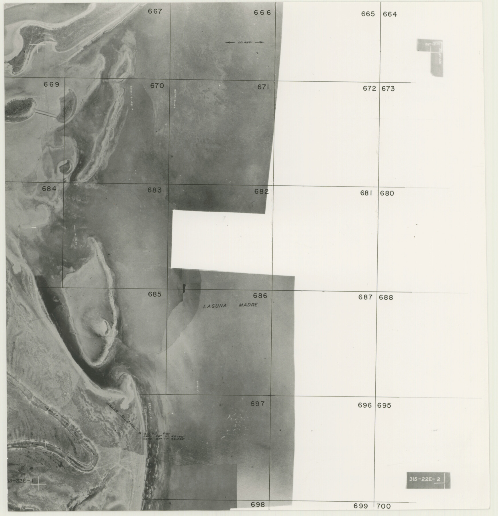
Cameron County Rolled Sketch 20E
[Partial aerial photograph]
-
Map/Doc
5478
-
Collection
General Map Collection
-
Counties
Cameron
-
Subjects
Surveying Rolled Sketch
-
Height x Width
13.0 x 12.5 inches
33.0 x 31.8 cm
-
Medium
photograph
Part of: General Map Collection
Harris County Working Sketch 23

Print $20.00
- Digital $50.00
Harris County Working Sketch 23
1926
Size 14.0 x 20.0 inches
Map/Doc 65915
Chambers County Sketch File 36

Print $11.00
- Digital $50.00
Chambers County Sketch File 36
1935
Size 15.6 x 9.1 inches
Map/Doc 17647
Garza County Sketch File 23

Print $6.00
- Digital $50.00
Garza County Sketch File 23
1907
Size 11.3 x 8.7 inches
Map/Doc 24080
Anderson County Working Sketch 33

Print $20.00
- Digital $50.00
Anderson County Working Sketch 33
1966
Size 30.8 x 29.9 inches
Map/Doc 67033
Angelina County Sketch File 14

Print $2.00
- Digital $50.00
Angelina County Sketch File 14
Size 7.6 x 6.9 inches
Map/Doc 12959
Gulf Shore of Galveston Island Texas Shoreline and Offshore Depth Changes - Sheet 1

Print $20.00
- Digital $50.00
Gulf Shore of Galveston Island Texas Shoreline and Offshore Depth Changes - Sheet 1
1949
Size 30.9 x 40.8 inches
Map/Doc 61825
Webb County Rolled Sketch 41

Print $20.00
- Digital $50.00
Webb County Rolled Sketch 41
1941
Size 25.0 x 18.0 inches
Map/Doc 8196
Nacogdoches County Sketch File 19

Print $12.00
- Digital $50.00
Nacogdoches County Sketch File 19
1846
Size 17.0 x 11.0 inches
Map/Doc 32270
Jefferson County Sketch file 30

Print $22.00
- Digital $50.00
Jefferson County Sketch file 30
1917
Size 11.2 x 8.8 inches
Map/Doc 28194
Erath County Sketch File 33

Print $11.00
- Digital $50.00
Erath County Sketch File 33
1962
Size 14.4 x 8.8 inches
Map/Doc 22315
Briscoe County Working Sketch 10

Print $20.00
- Digital $50.00
Briscoe County Working Sketch 10
1958
Size 30.0 x 24.2 inches
Map/Doc 67813
Brewster County Rolled Sketch 8

Print $40.00
- Digital $50.00
Brewster County Rolled Sketch 8
1878
Size 60.3 x 35.8 inches
Map/Doc 8467
You may also like
Working Sketch in Childress County

Print $20.00
- Digital $50.00
Working Sketch in Childress County
1910
Size 6.6 x 23.3 inches
Map/Doc 90425
Calhoun County Rolled Sketch 14

Print $20.00
- Digital $50.00
Calhoun County Rolled Sketch 14
Size 21.8 x 40.2 inches
Map/Doc 5458
Crockett County Rolled Sketch 95

Print $20.00
- Digital $50.00
Crockett County Rolled Sketch 95
1985
Size 24.6 x 28.8 inches
Map/Doc 5634
Brazoria County NRC Article 33.136 Sketch 21

Print $34.00
Brazoria County NRC Article 33.136 Sketch 21
2018
Map/Doc 97241
Travis County Working Sketch 41

Print $20.00
- Digital $50.00
Travis County Working Sketch 41
1974
Size 34.4 x 31.3 inches
Map/Doc 69425
Crosby County Sketch File 19

Print $6.00
- Digital $50.00
Crosby County Sketch File 19
1910
Size 8.2 x 8.1 inches
Map/Doc 20084
Crockett County Working Sketch 76

Print $20.00
- Digital $50.00
Crockett County Working Sketch 76
1964
Size 34.3 x 36.3 inches
Map/Doc 68409
Lynn County Sketch File 14

Print $12.00
- Digital $50.00
Lynn County Sketch File 14
1916
Size 14.1 x 8.7 inches
Map/Doc 30491
Flight Mission No. CUG-1P, Frame 86, Kleberg County

Print $20.00
- Digital $50.00
Flight Mission No. CUG-1P, Frame 86, Kleberg County
1956
Size 18.5 x 22.2 inches
Map/Doc 86151
Jackson County Aerial Photograph Index Sheet 7

Print $20.00
- Digital $50.00
Jackson County Aerial Photograph Index Sheet 7
1956
Size 21.2 x 15.8 inches
Map/Doc 83706
Garza County Rolled Sketch R3

Print $20.00
- Digital $50.00
Garza County Rolled Sketch R3
Size 21.4 x 14.9 inches
Map/Doc 6006
Jack County Working Sketch 6

Print $20.00
- Digital $50.00
Jack County Working Sketch 6
1952
Size 29.1 x 24.3 inches
Map/Doc 66432