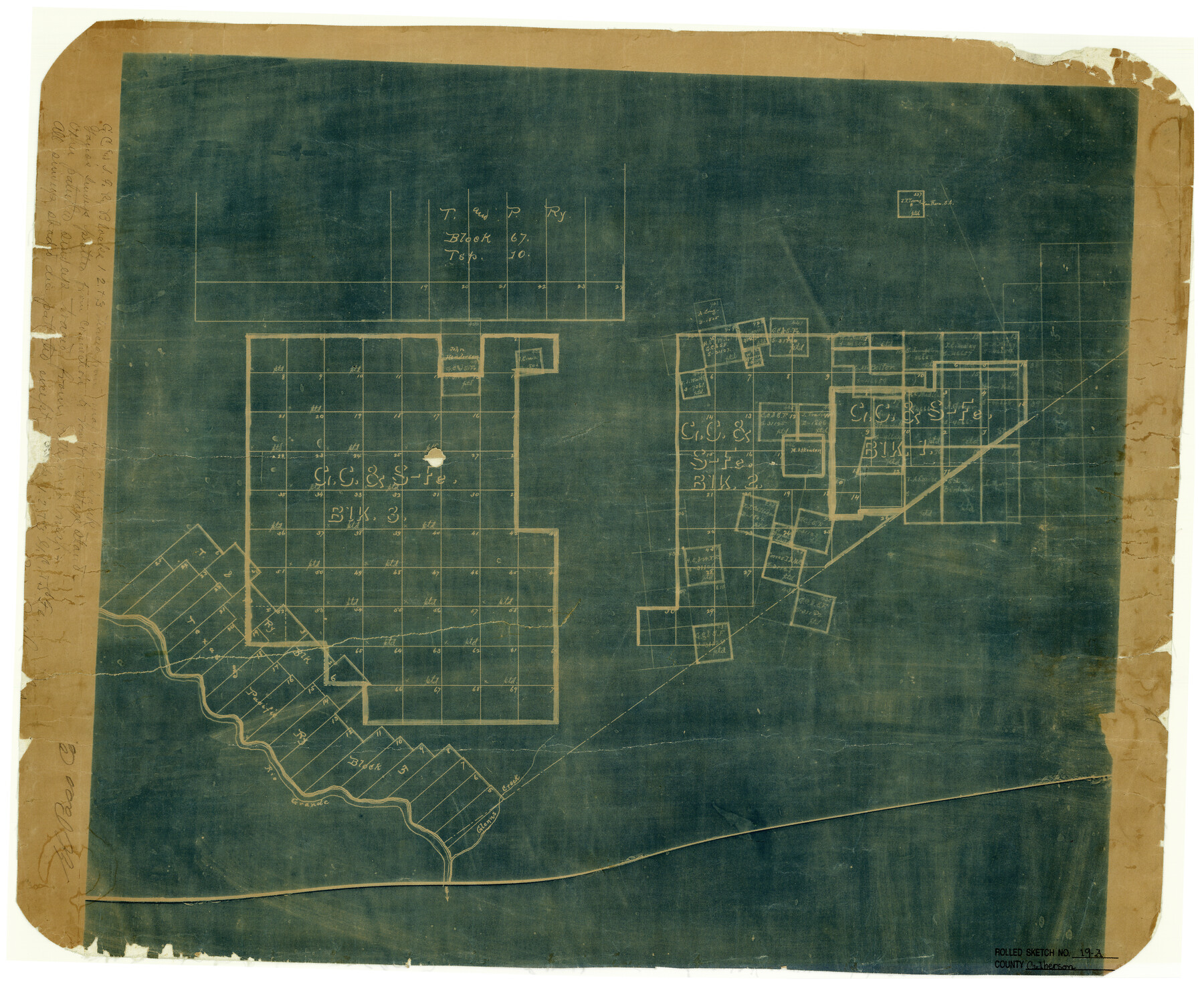
Culberson County Rolled Sketch 19A
[Sketch in south part of Hudspeth and Culberson Counties]
-
Map/Doc
5652
-
Collection
General Map Collection
-
Counties
Culberson Hudspeth
-
Subjects
Surveying Rolled Sketch
-
Height x Width
23.2 x 28.6 inches
58.9 x 72.6 cm
-
Medium
blueprint/diazo
Part of: General Map Collection
East Half - Brown County

Print $40.00
- Digital $50.00
East Half - Brown County
1982
Size 141.3 x 36.8 inches
Map/Doc 97385
Nolan County Sketch File D1

Print $42.00
- Digital $50.00
Nolan County Sketch File D1
1904
Size 19.5 x 18.8 inches
Map/Doc 42173
Medina County Sketch File 8

Print $4.00
- Digital $50.00
Medina County Sketch File 8
Size 9.3 x 6.6 inches
Map/Doc 31456
Flight Mission No. DCL-7C, Frame 110, Kenedy County

Print $20.00
- Digital $50.00
Flight Mission No. DCL-7C, Frame 110, Kenedy County
1943
Size 18.5 x 22.3 inches
Map/Doc 86075
Crosby County Boundary File 1

Print $20.00
- Digital $50.00
Crosby County Boundary File 1
Size 7.4 x 4.1 inches
Map/Doc 51971
Texas Coordinate File 2

Print $6.00
- Digital $50.00
Texas Coordinate File 2
Size 11.2 x 8.8 inches
Map/Doc 75303
Loving County Working Sketch 23

Print $20.00
- Digital $50.00
Loving County Working Sketch 23
1952
Size 15.1 x 31.5 inches
Map/Doc 70657
Gregg County Sketch File 1C

Print $6.00
- Digital $50.00
Gregg County Sketch File 1C
1847
Size 7.8 x 11.6 inches
Map/Doc 24540
A sketch of surveys made on the coast east of Bolivar Point

Print $20.00
- Digital $50.00
A sketch of surveys made on the coast east of Bolivar Point
1841
Size 9.1 x 22.0 inches
Map/Doc 22
Tyler County Working Sketch 9

Print $20.00
- Digital $50.00
Tyler County Working Sketch 9
1937
Size 25.7 x 27.1 inches
Map/Doc 69479

Edwards County Working Sketch 29

Print $40.00
- Digital $50.00
Edwards County Working Sketch 29
1946
Size 44.9 x 53.9 inches
Map/Doc 68905
You may also like
Dr. T. F. Nanny's Lands, Swisher and Castro Counties, Texas

Print $20.00
- Digital $50.00
Dr. T. F. Nanny's Lands, Swisher and Castro Counties, Texas
Size 16.7 x 21.5 inches
Map/Doc 92614
Flight Mission No. CLL-1N, Frame 103, Willacy County

Print $20.00
- Digital $50.00
Flight Mission No. CLL-1N, Frame 103, Willacy County
1954
Size 18.4 x 22.1 inches
Map/Doc 87037
Collingsworth County Rolled Sketch 1

Print $40.00
- Digital $50.00
Collingsworth County Rolled Sketch 1
1941
Size 54.2 x 24.0 inches
Map/Doc 9664
Revised Sectional Map Number 2, Showing Land Surveys in Counties of Howard, Martin, Andrews, Glasscock, Midland, Ector, and Portions of Borden, Dawson, Irion, Reagan, Upton, Crane, Ward, and Winkler, Texas

Print $20.00
- Digital $50.00
Revised Sectional Map Number 2, Showing Land Surveys in Counties of Howard, Martin, Andrews, Glasscock, Midland, Ector, and Portions of Borden, Dawson, Irion, Reagan, Upton, Crane, Ward, and Winkler, Texas
Size 24.8 x 19.7 inches
Map/Doc 91357
[Blocks M8, M9, M11, W1, RC, M13, M15 and A]
![91928, [Blocks M8, M9, M11, W1, RC, M13, M15 and A], Twichell Survey Records](https://historictexasmaps.com/wmedia_w700/maps/91928-1.tif.jpg)
Print $20.00
- Digital $50.00
[Blocks M8, M9, M11, W1, RC, M13, M15 and A]
Size 17.1 x 34.2 inches
Map/Doc 91928
Railroad Track Map, H&TCRRCo., Falls County, Texas

Print $4.00
- Digital $50.00
Railroad Track Map, H&TCRRCo., Falls County, Texas
1918
Size 11.7 x 18.5 inches
Map/Doc 62842
Southern Homes in Southern Texas, The Celebrated Coast Country

Southern Homes in Southern Texas, The Celebrated Coast Country
1899
Size 6.2 x 3.7 inches
Map/Doc 97050
Flight Mission No. DAG-18K, Frame 188, Matagorda County

Print $20.00
- Digital $50.00
Flight Mission No. DAG-18K, Frame 188, Matagorda County
1952
Size 18.6 x 22.3 inches
Map/Doc 86380
Preliminary survey of the entrance to the Rio Grande, Texas

Print $20.00
- Digital $50.00
Preliminary survey of the entrance to the Rio Grande, Texas
1854
Size 18.2 x 22.6 inches
Map/Doc 94073
Working Sketch Crockett County

Print $20.00
- Digital $50.00
Working Sketch Crockett County
1925
Size 16.6 x 15.2 inches
Map/Doc 90476
Township No. 4 South Range No. 17 West of the Indian Meridian

Print $20.00
- Digital $50.00
Township No. 4 South Range No. 17 West of the Indian Meridian
1875
Size 19.2 x 24.4 inches
Map/Doc 75164
Brown County Sketch File 24

Print $6.00
- Digital $50.00
Brown County Sketch File 24
1889
Size 11.7 x 15.9 inches
Map/Doc 11022